Lewis & Clark KATY Trailhead Plaza
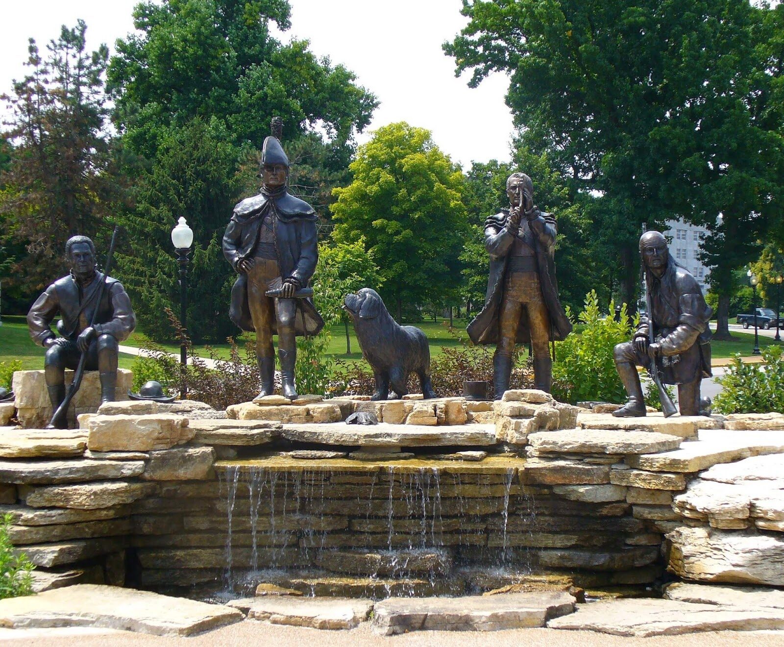
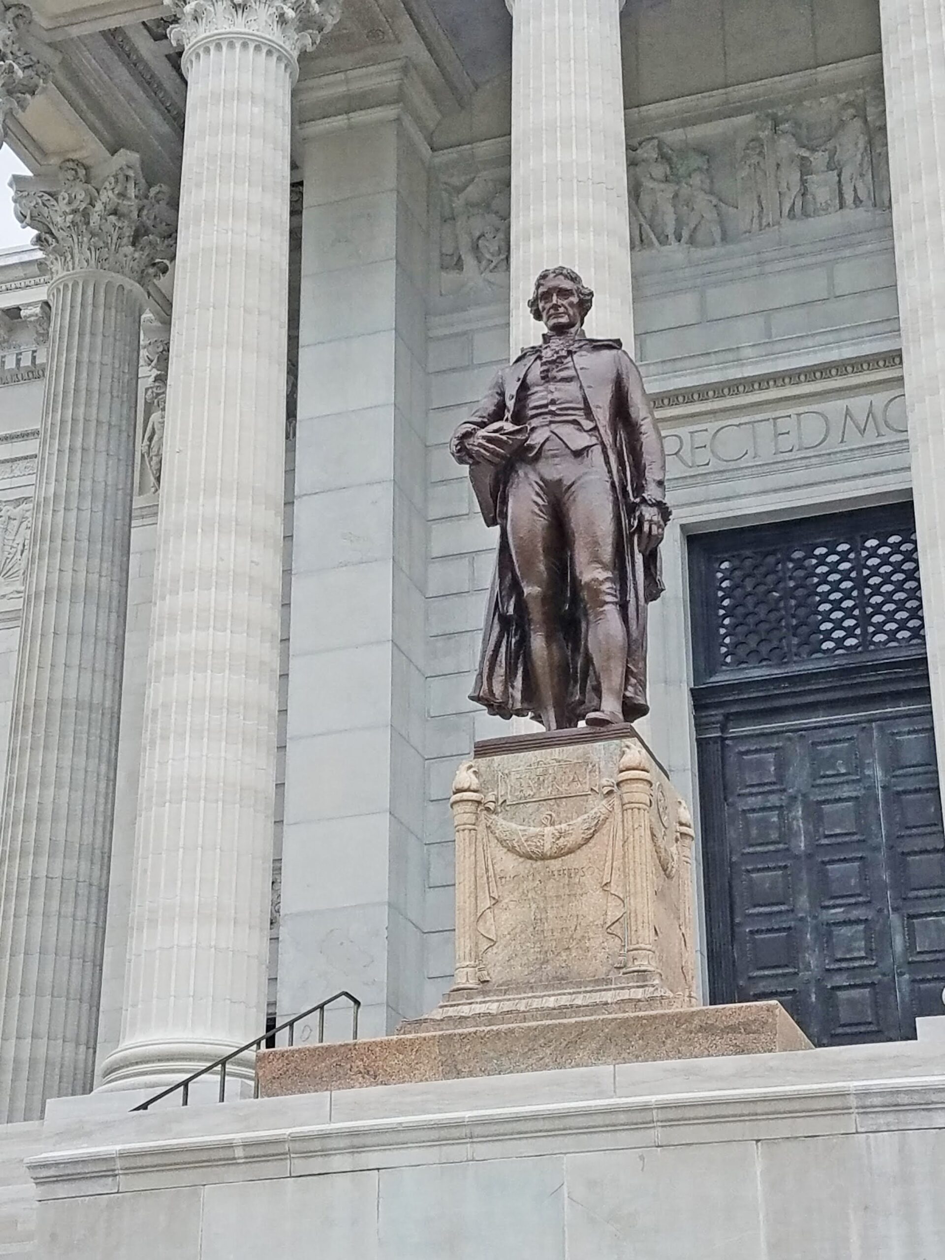
Jefferson City now has many sites to recognize its connection to Lewis and Clark, including a monument that sits next to the Missouri State Capitol in Jefferson City, known officially as the Lewis and Clark Monument at the Katy Trailhead Plaza.
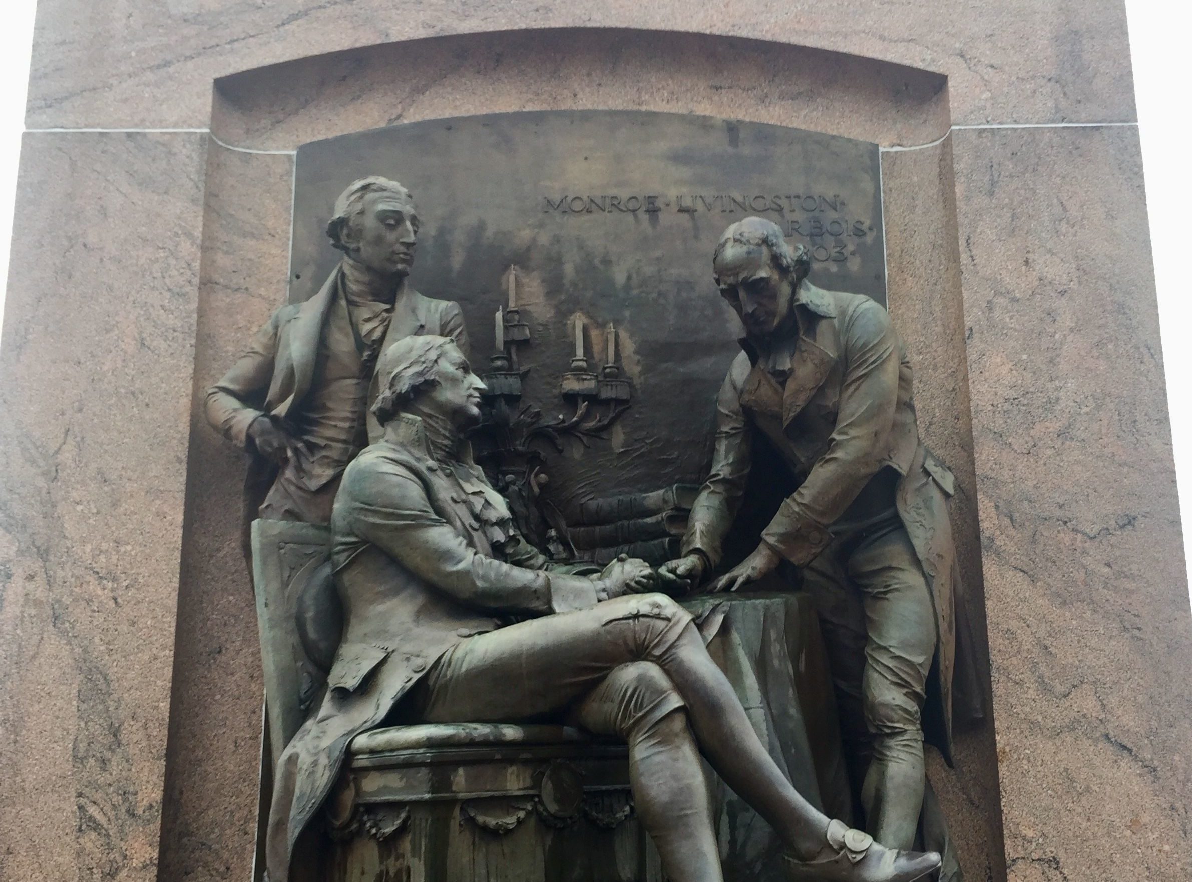
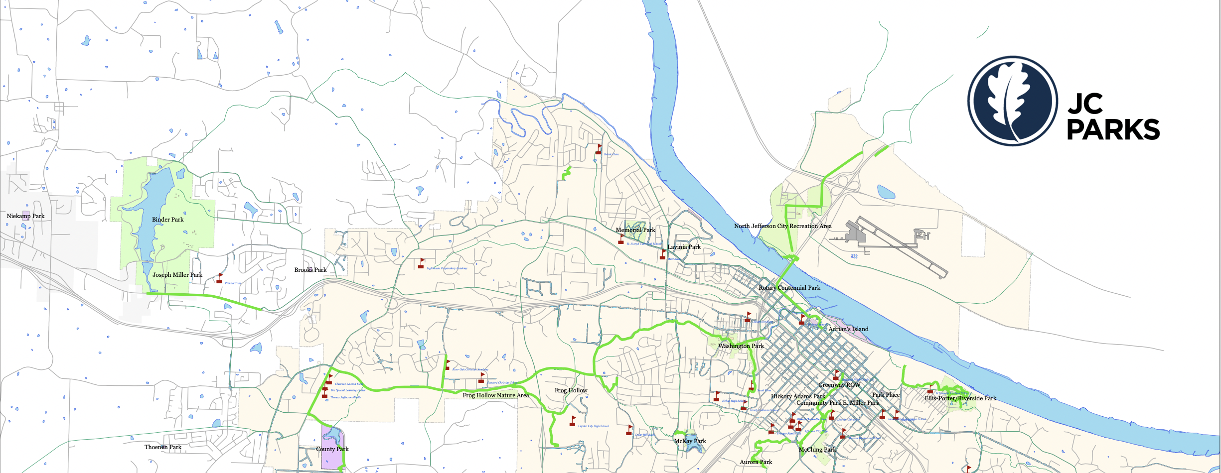
The monument is located near the corner of Jefferson Street and Capitol Avenue on the capitol grounds overlooking the Jefferson Landing Historic Site and the Missouri River. Dedicated on June 4, 2008 the plaza includes Captains Meriwether Lewis and William Clark, York, George Druillard (French-Canadian-Shawnee hunter and interpreter) and Seaman (Lewis’ Newfoundland dog). Besides these main characters, items such as a journal, telescope, guns and hats are portrayed within the monument. The sculpture commemorates the date of June 4, 1804 when the Corps of Discovery encamped in the area, which eventually became the state capitol.
Distance Unit:
Distance Unit:

A boat ramp to the beautiful Missouri River with a peaceful view of the river.


The path taken by Chief John Ross on his way to Cairo. (https://www.hmdb.org/m.asp?m=161480)


A breathtaking viewpoint overlooking the Trail of Tears State Park. Car access is available

Here, nine Cherokee Indian groups braved harsh winter conditions while crossing the Mississippi River in 1838-1839, marking a sorrowful chapter in American history. The park also has: shaded picnic sites, hiking and horse trails, opportunities to fish…