Hawn State Park
Hawk State Park is the perfect respite for travelers of all ages to enjoy the great outdoors. Best of all, it is only miles away from Ste. Genevieve.
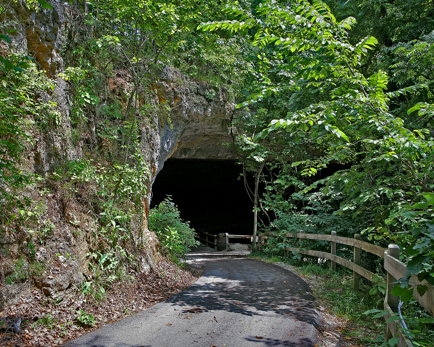
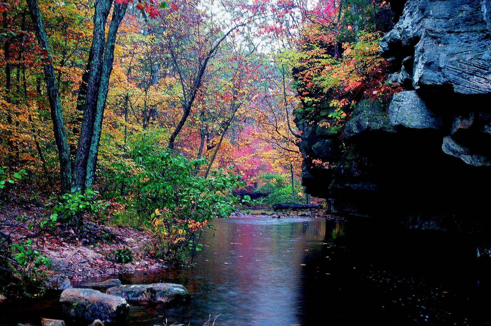
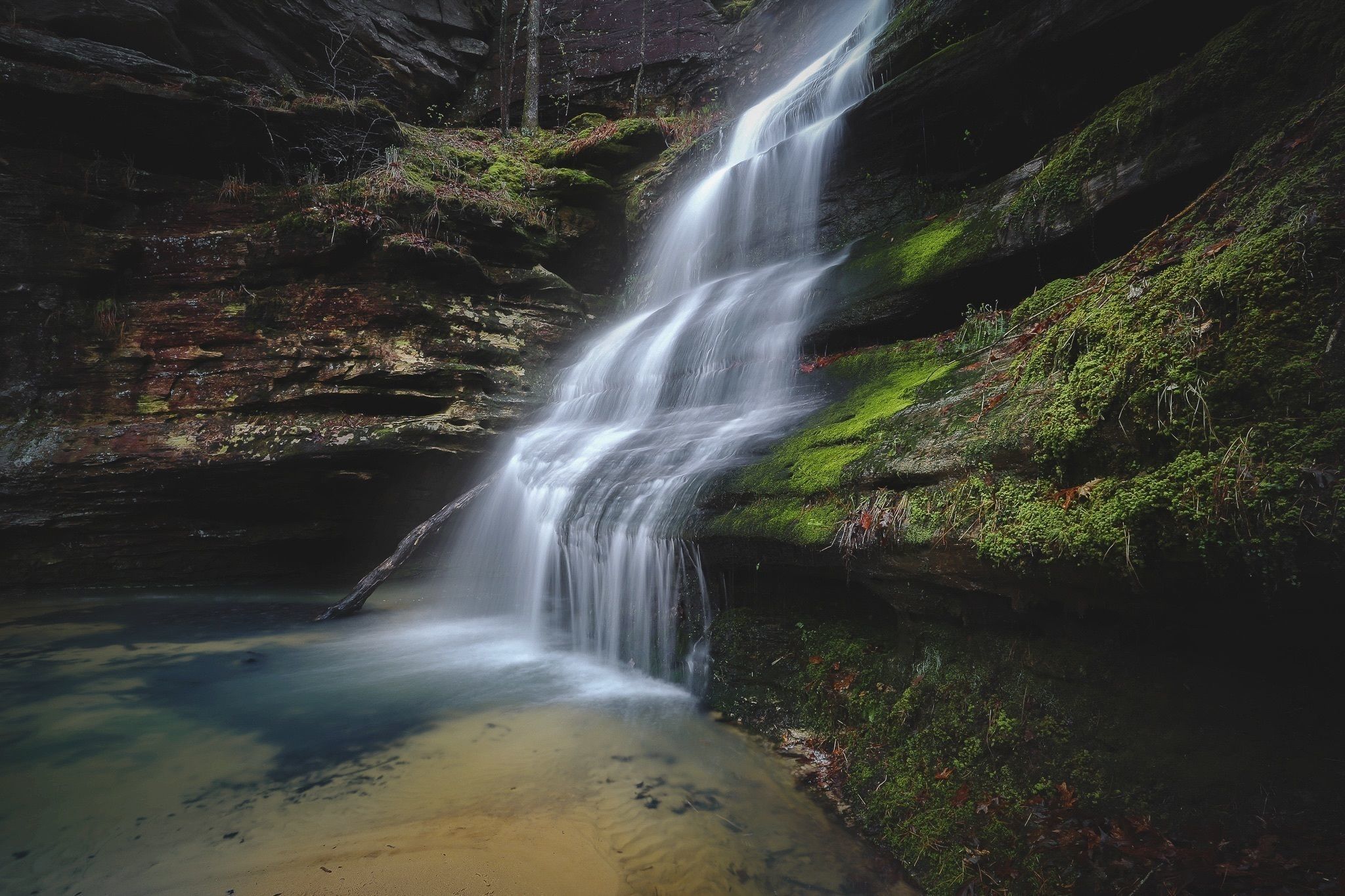
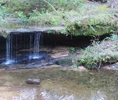
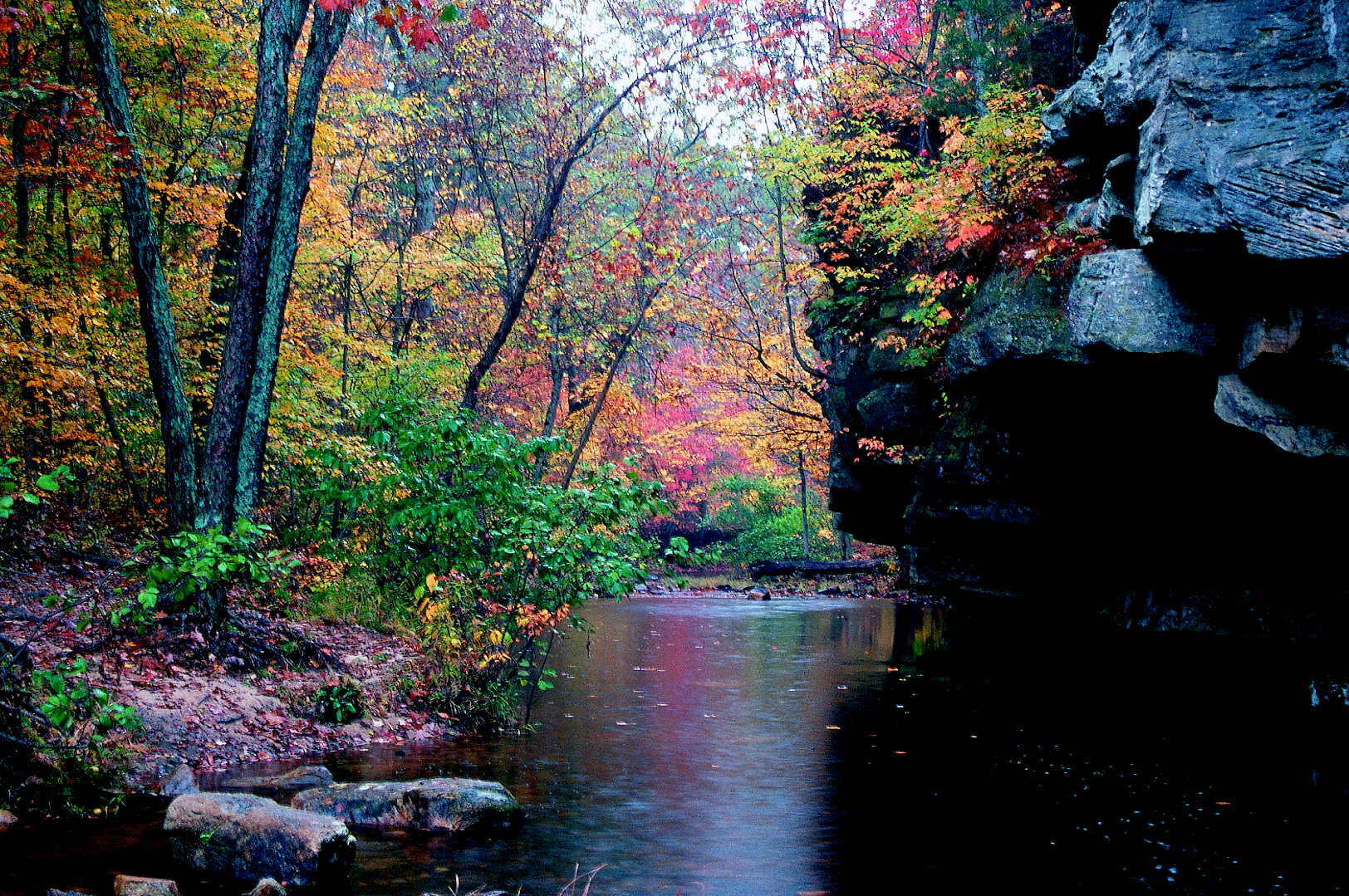
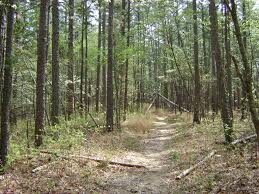
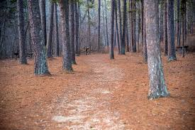
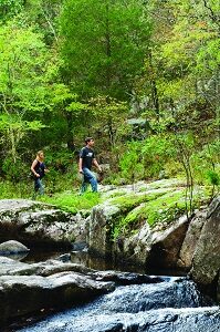
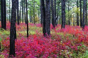
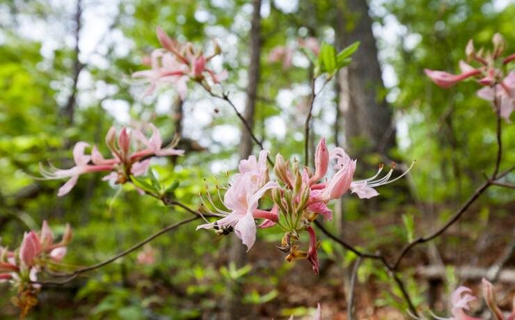
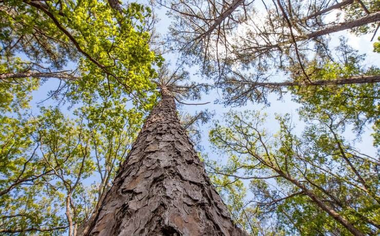
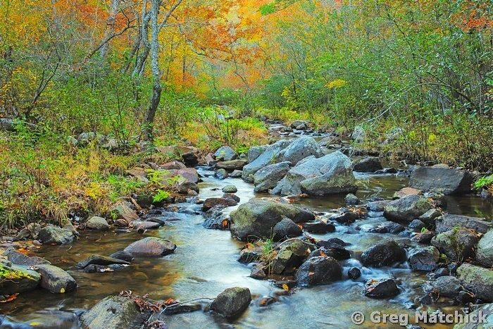
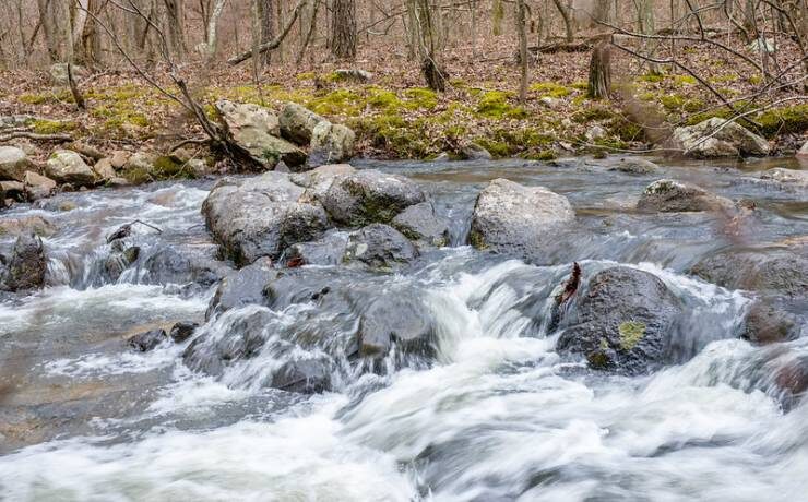
Hikers in Hawn State Park have many choices to meander through the pines. Trails are well marked and maps are available. Whispering Pine Trail makes a figure 8 loop, 6 miles then 4 miles. Splash across the creek to enjoy the overviews and rest on rock ledges. Primitive back-packing camps are along the trail. Pickle Creek Trail starts at the picnic grounds and leads to the scenic shut-ins at Pickle Creek-1 mi out+1 mi back. White Oak Trail offers a 4.4 mile hike that travels through pine forest, across creeks and over sandstone outcrops. Enjoy the scenic overlook!
Connector trails join all these trails so you can adjust the length of your hike. Beware the potential for ankle twisting on these rock strewn trails.
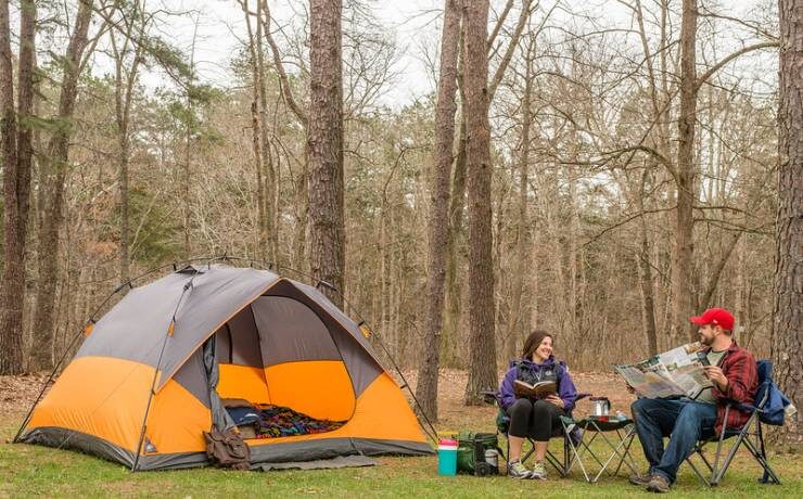
A campground provides restrooms, showers, laundry, and playgrounds for families to stay and enjoy their time around Ste. Genevieve.
Distance Unit:
Distance Unit:


Explore the Trail of Tears State Park to delve into a somber chapter in American history. Here, nine Cherokee Indian groups crossed the harsh winter Mississippi River in 1838-1839 during their forced relocation to Oklahoma.…


The path taken by Chief John Ross on his way to Cairo. (https://www.hmdb.org/m.asp?m=161480)