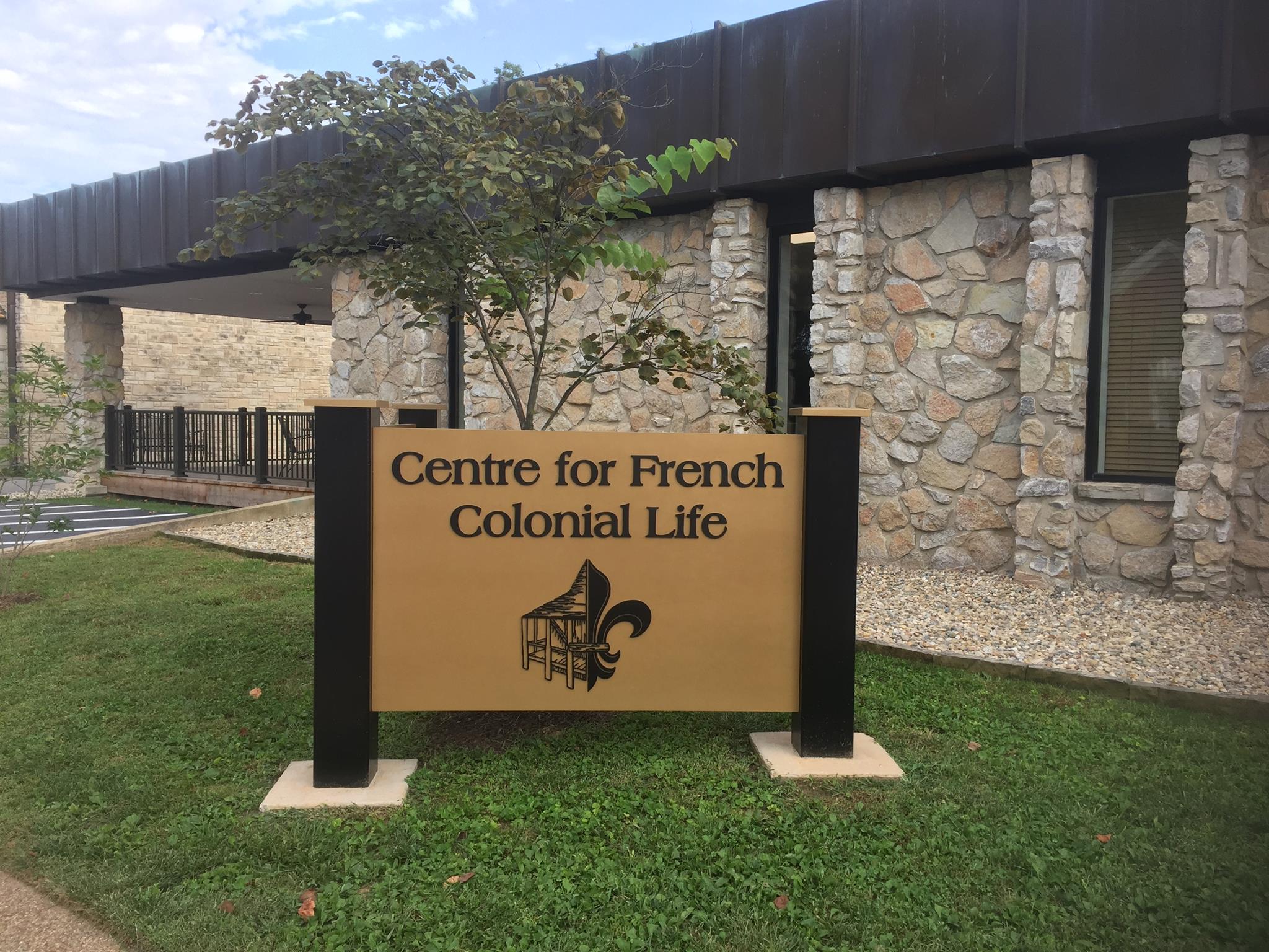
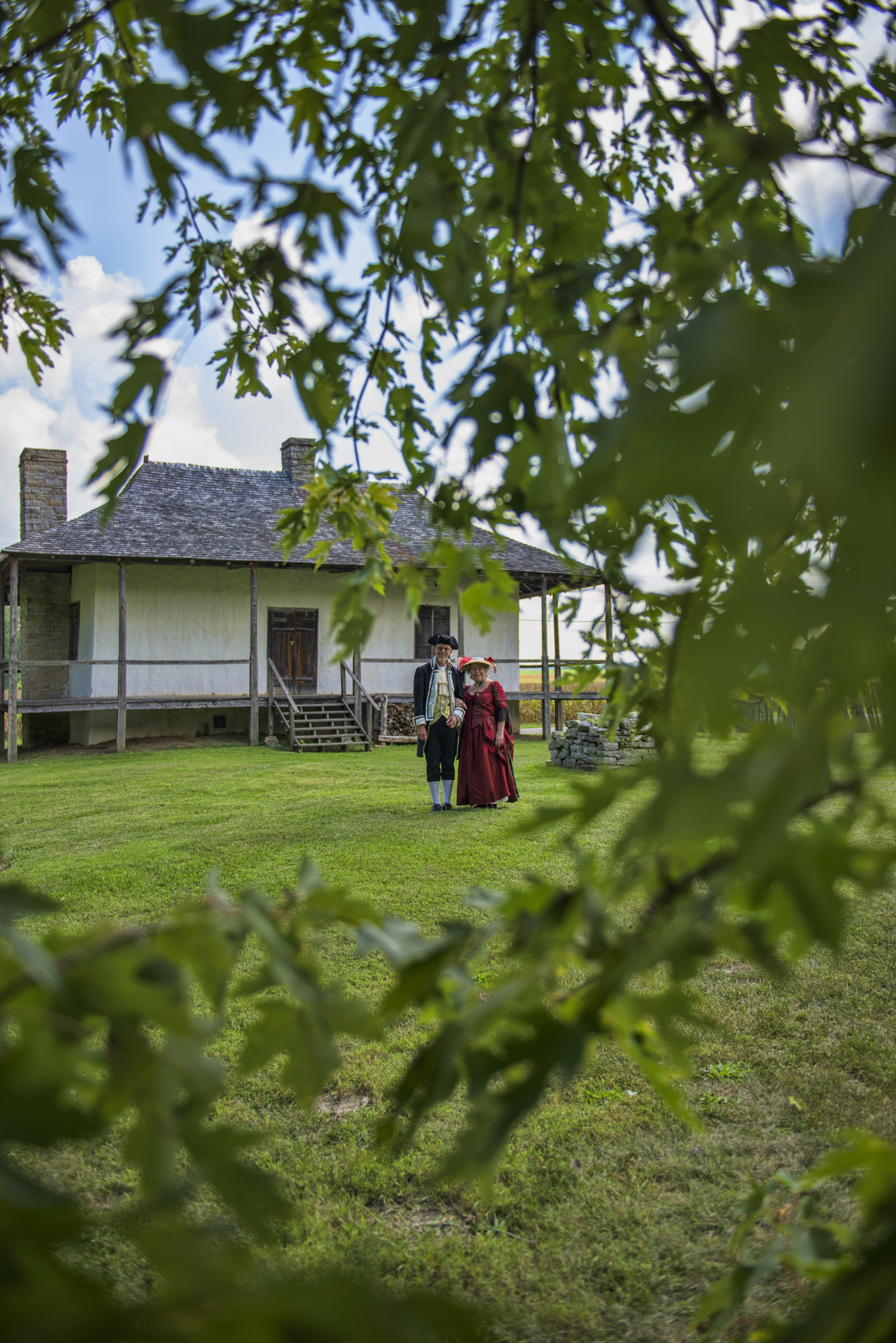
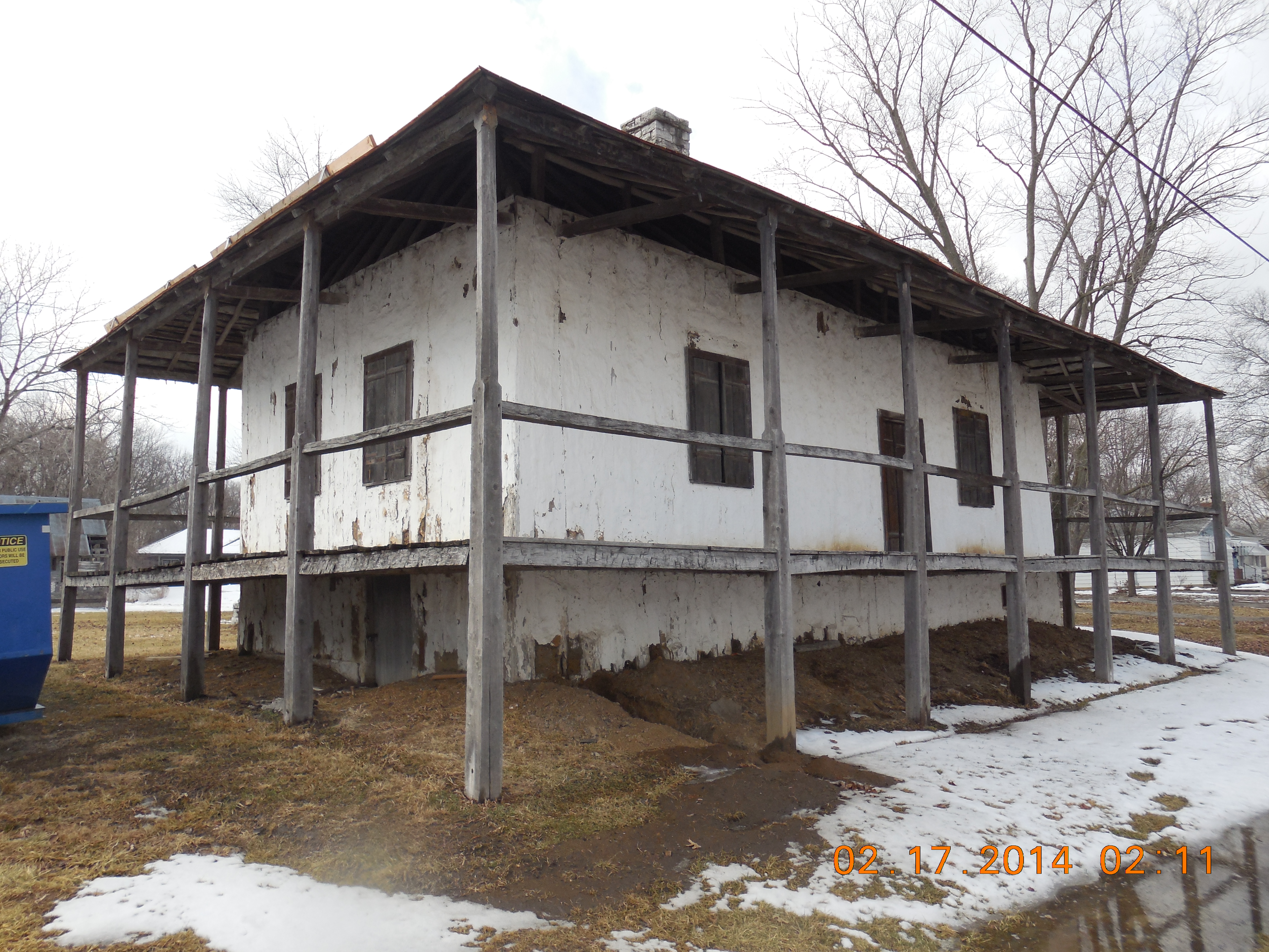
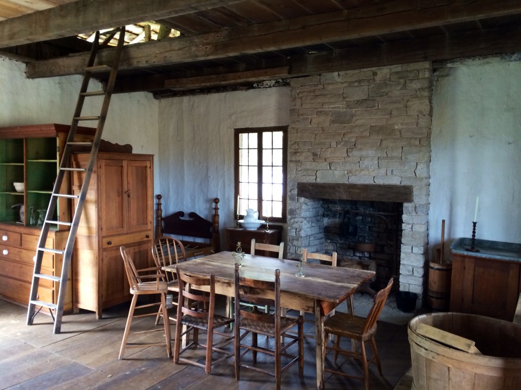
Bequette-Ribault House
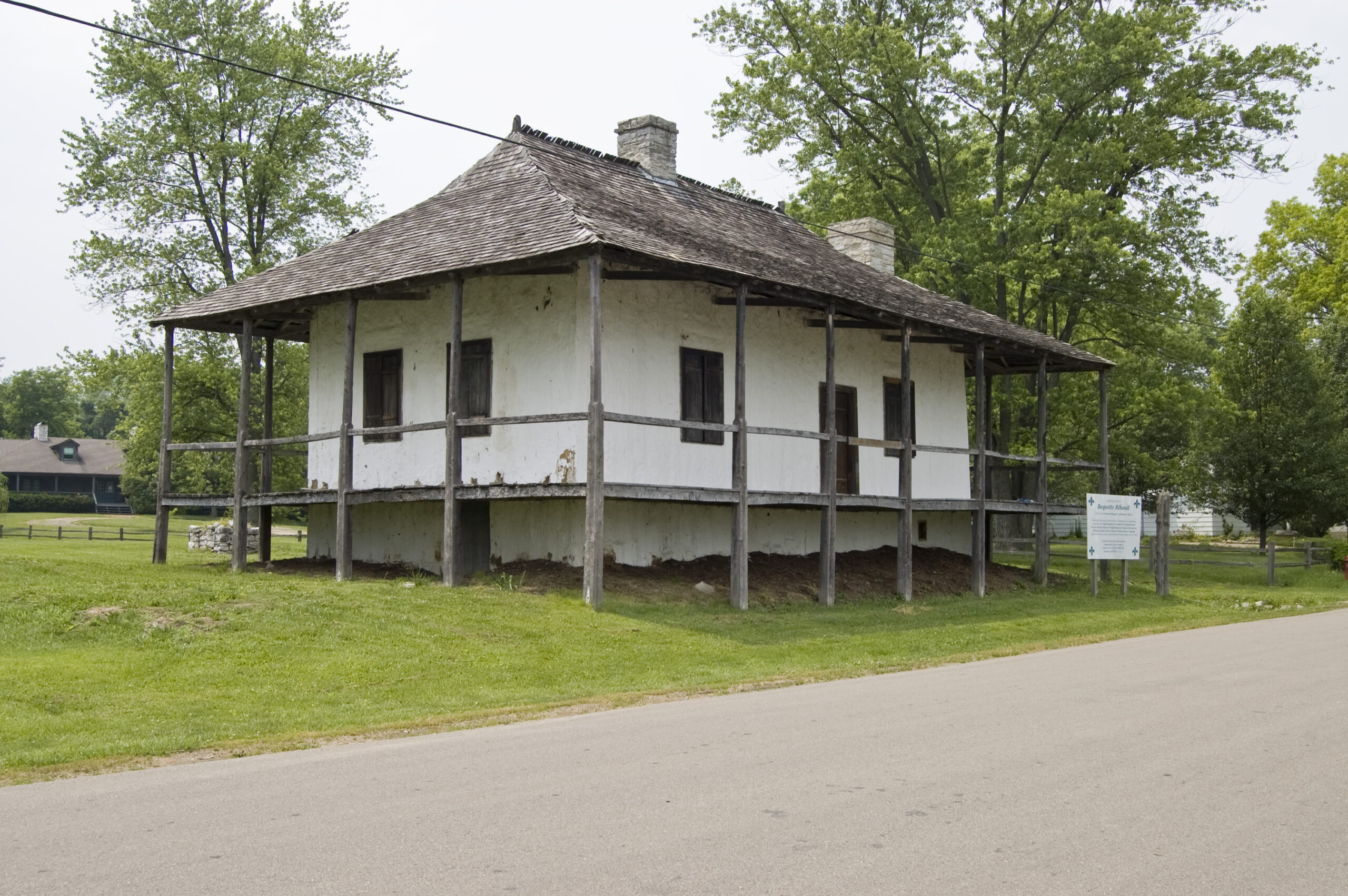
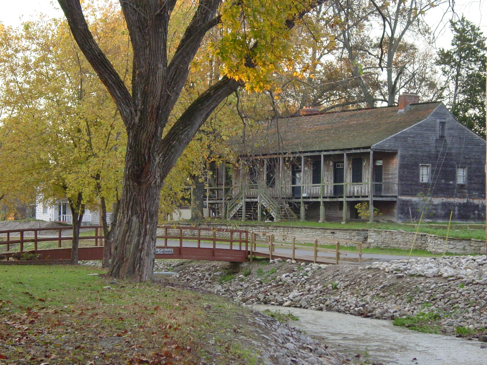
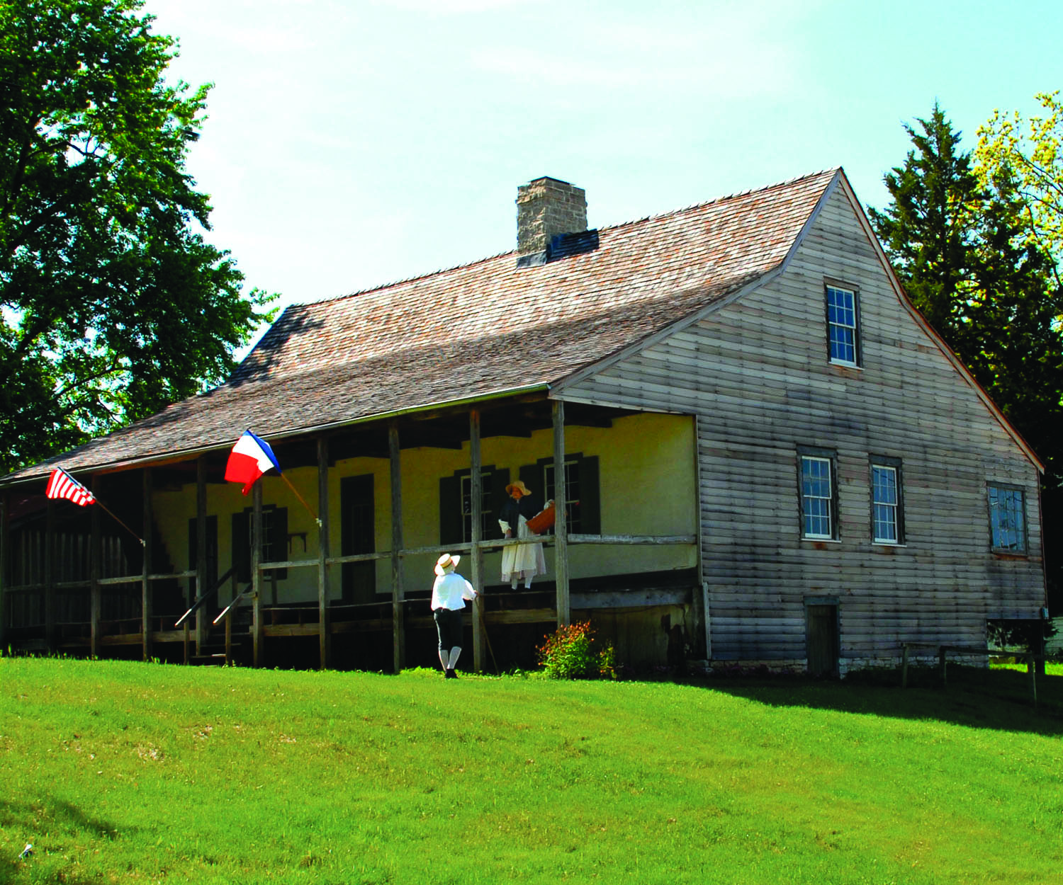
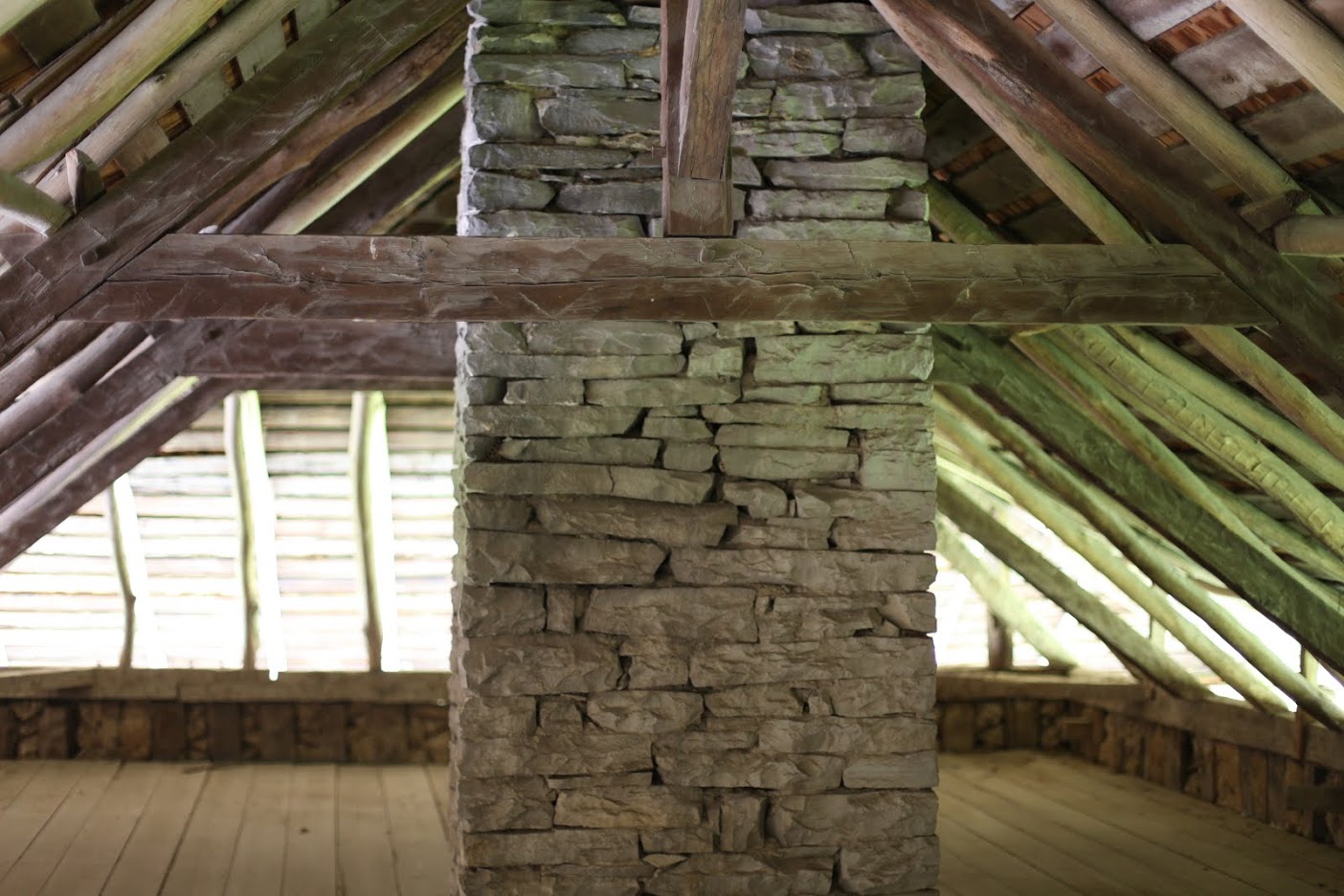
The Bequette-Ribault House was built over-looking Le Grand Champ agricultural fields around 1808 using the poteaux-en-terre method of construction. The vertical logs were placed directly in the ground without a foundation.
Originally built by the Jean Baptiste Bequette family, upon Bequette Jr.’s death the property was auctioned in March of 1840 on the church steps to the highest bidder. Antoine Recole, a free man of color, purchased it for $405. Two months later, Recole sold the property for the same amount to a free woman of color named Clarisse, a former slave of the Francois Janis household. Clarisse had two children who were given the last name Ribault. Jean Ribault, was a wealthy resident of Ste. Genevieve who had been a minor aristocrat in France. Interestingly, Clarisse was included in Jean Ribault’s will, who died in 1849. The only owners of the property from 1840 until 1969 were Clarisse and two generations of her descendants, all of who had the last name Ribault. This colonial home is now a historic museum site.
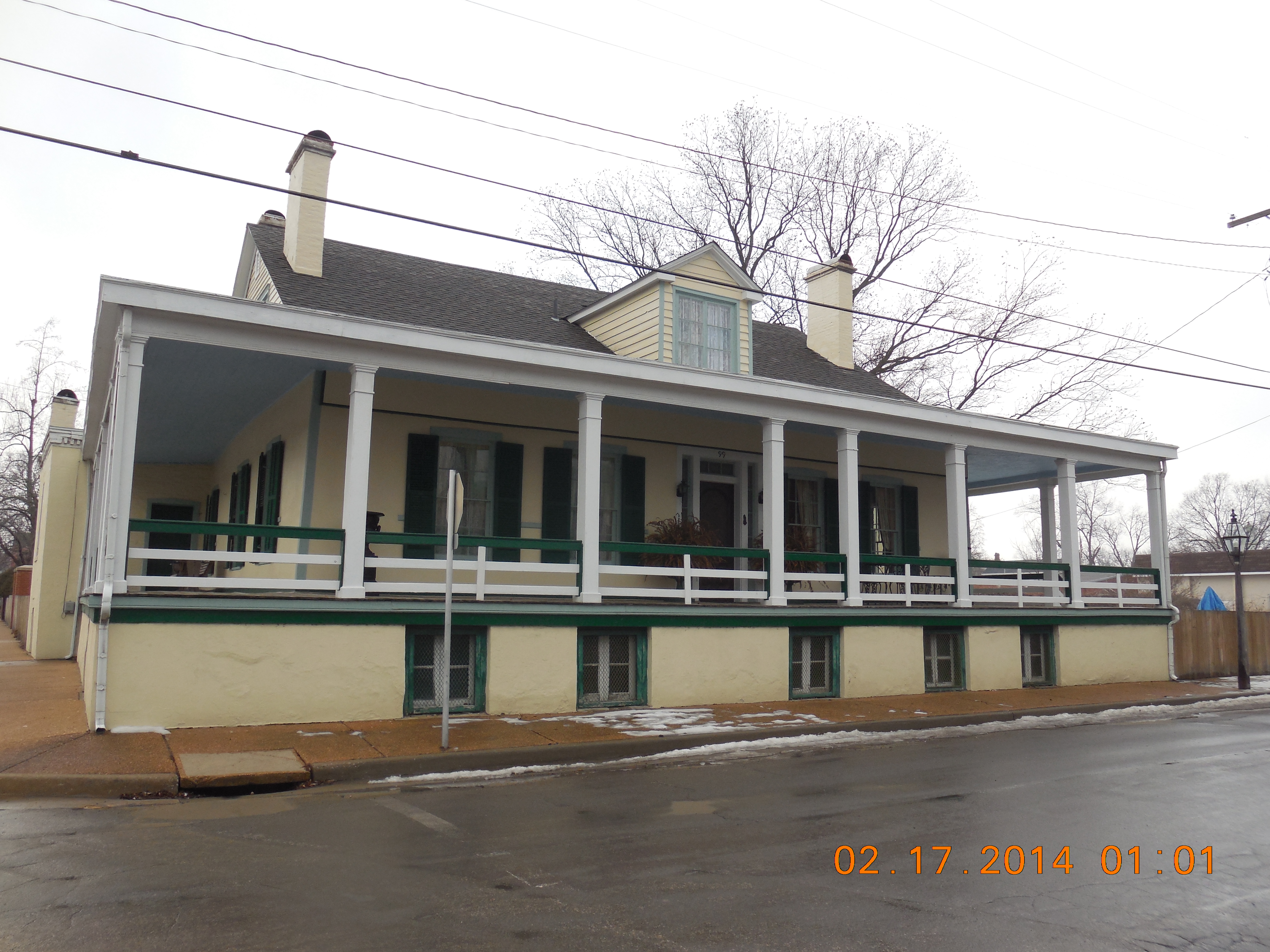
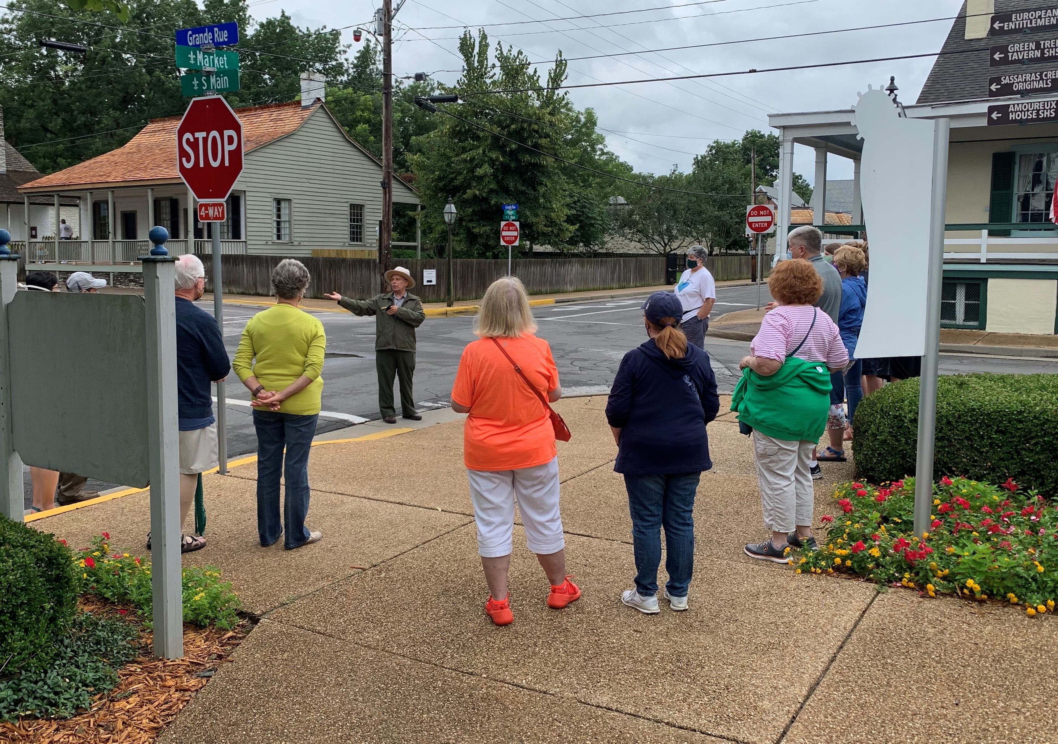
Like all other French Colonial houses in Ste. Genevieve, the Bequette Ribault House was built several feet above ground level to keep the floor level above potential flood water. It is an example of a smaller family dwelling. In one of the restored outbuildings, a Hospitality Center features a timeline of events detailing the home’s history.
Distance Unit:
Distance Unit:


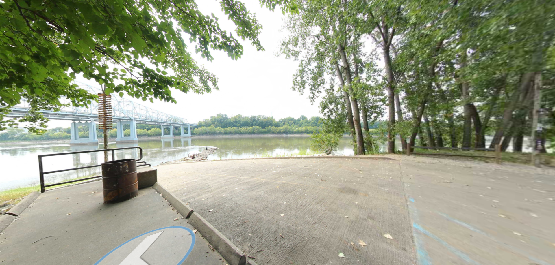


A boat ramp to the beautiful Missouri River with a peaceful view of the river.


The path taken by Chief John Ross on his way to Cairo. (https://www.hmdb.org/m.asp?m=161480)