Mountain Butterfly Hot Air Balloon Rides
Exploring the world in a hot air balloon isn’t something that many people can say they’ve done; but on a Montana Butterfly hot air balloon ride, you’ll be crossing off a bucket-list item while soaring over some of the most spectacular landscapes on the planet.
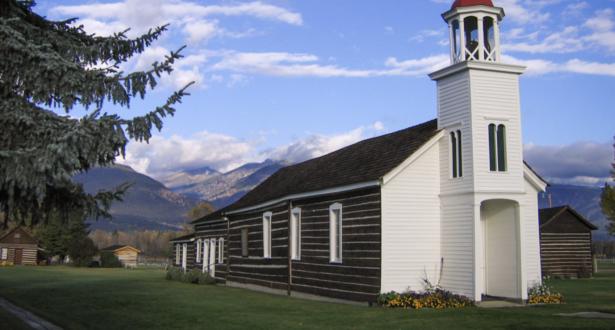
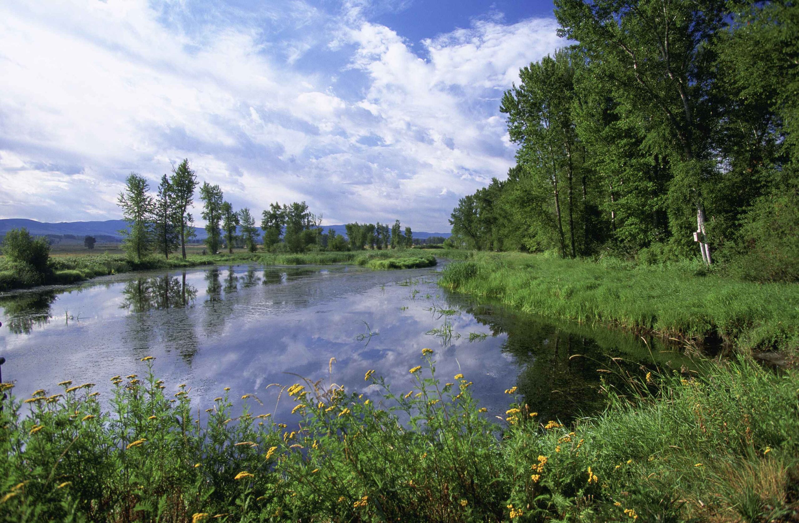
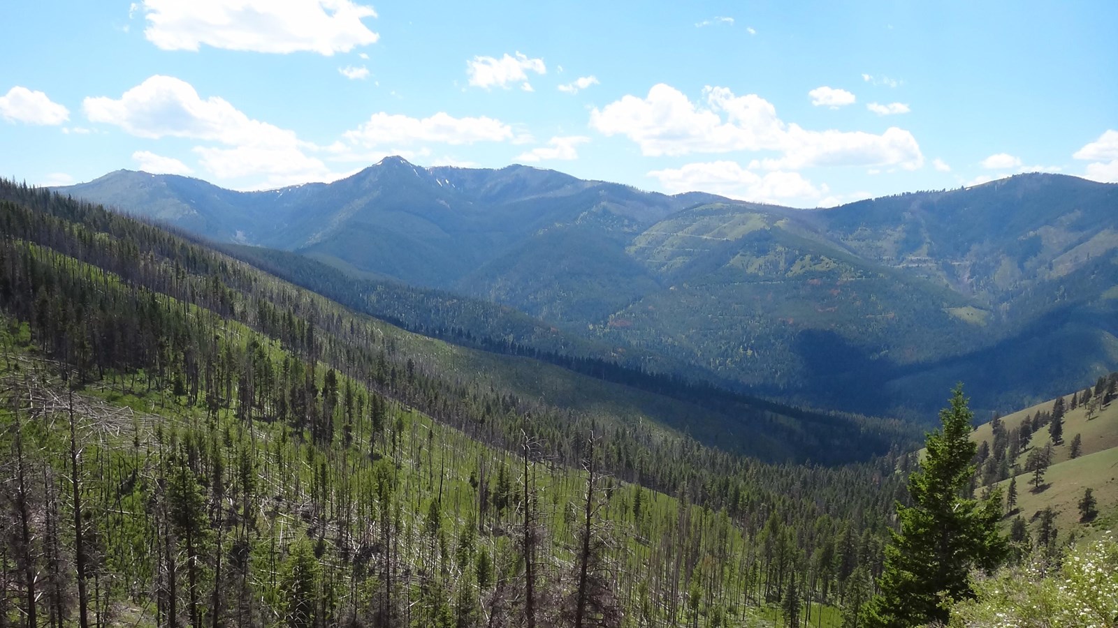
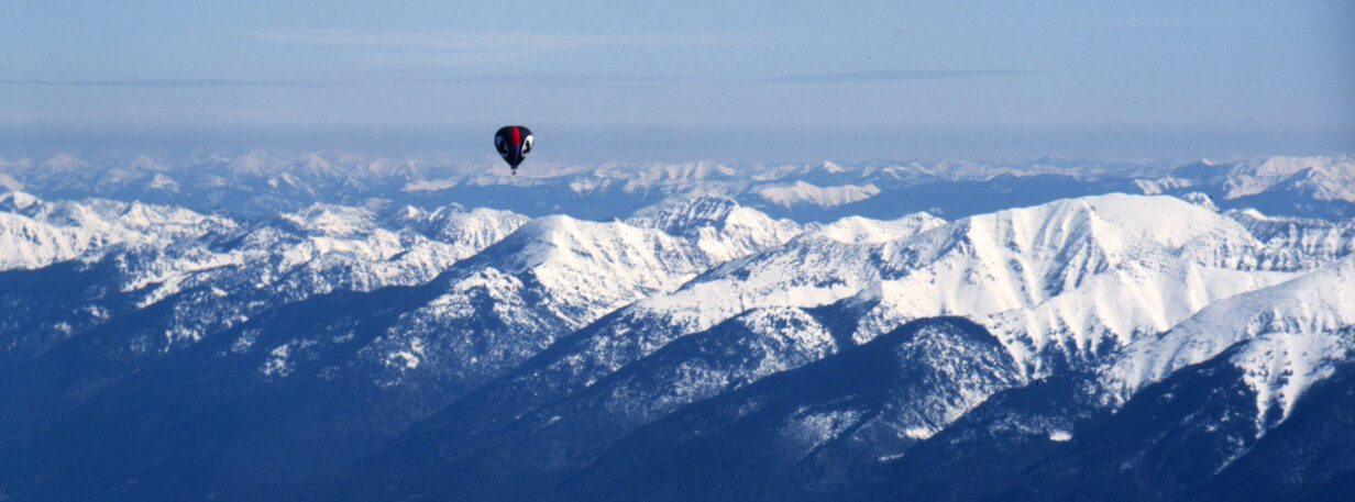
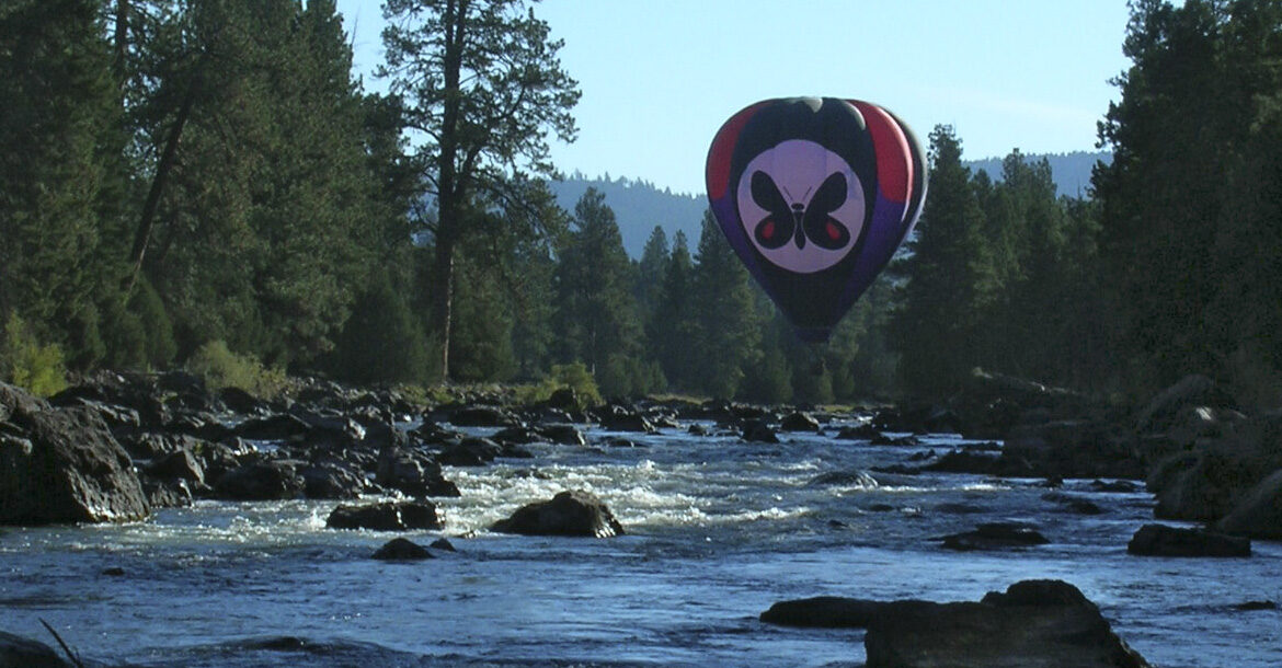
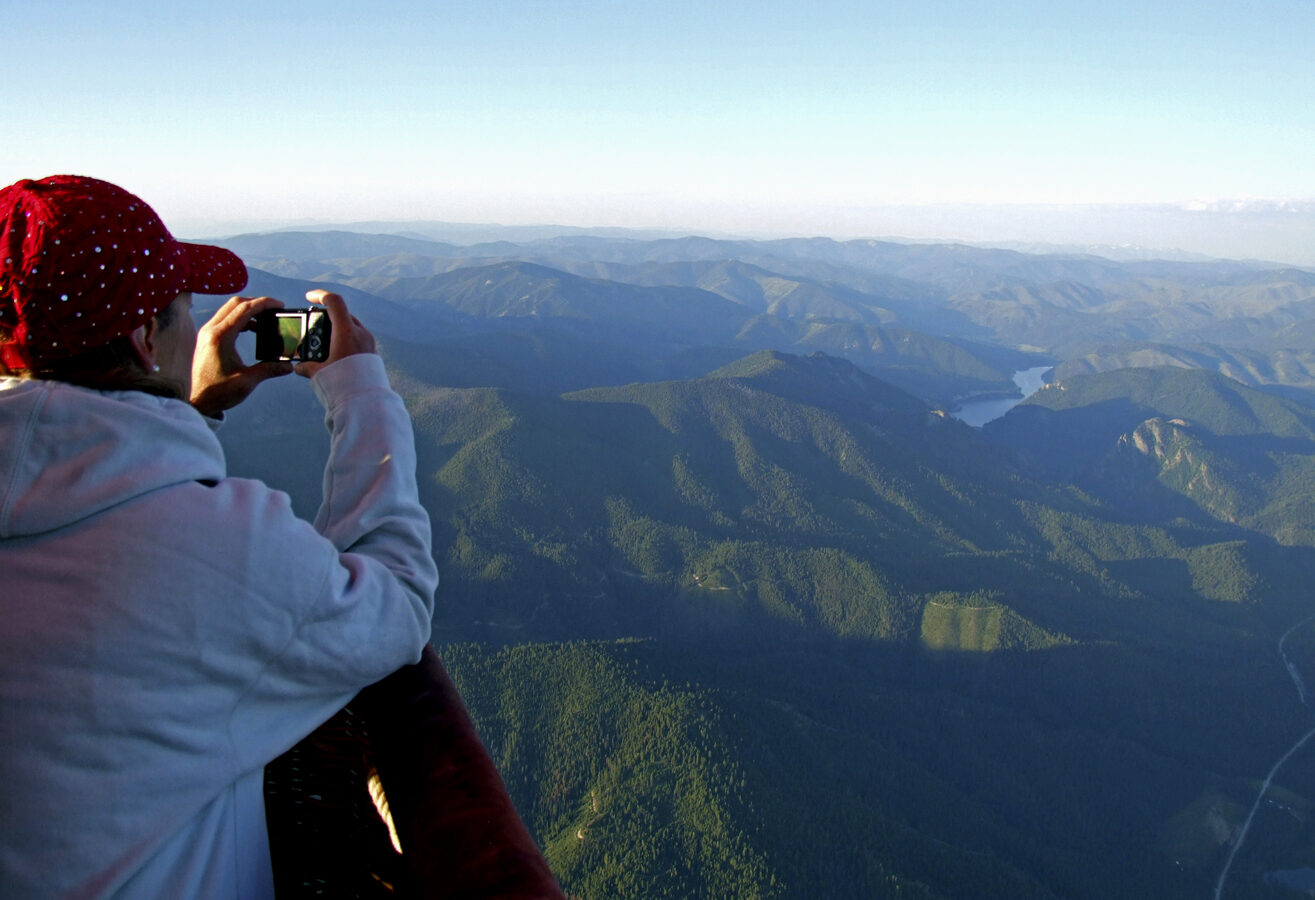
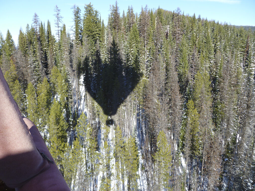
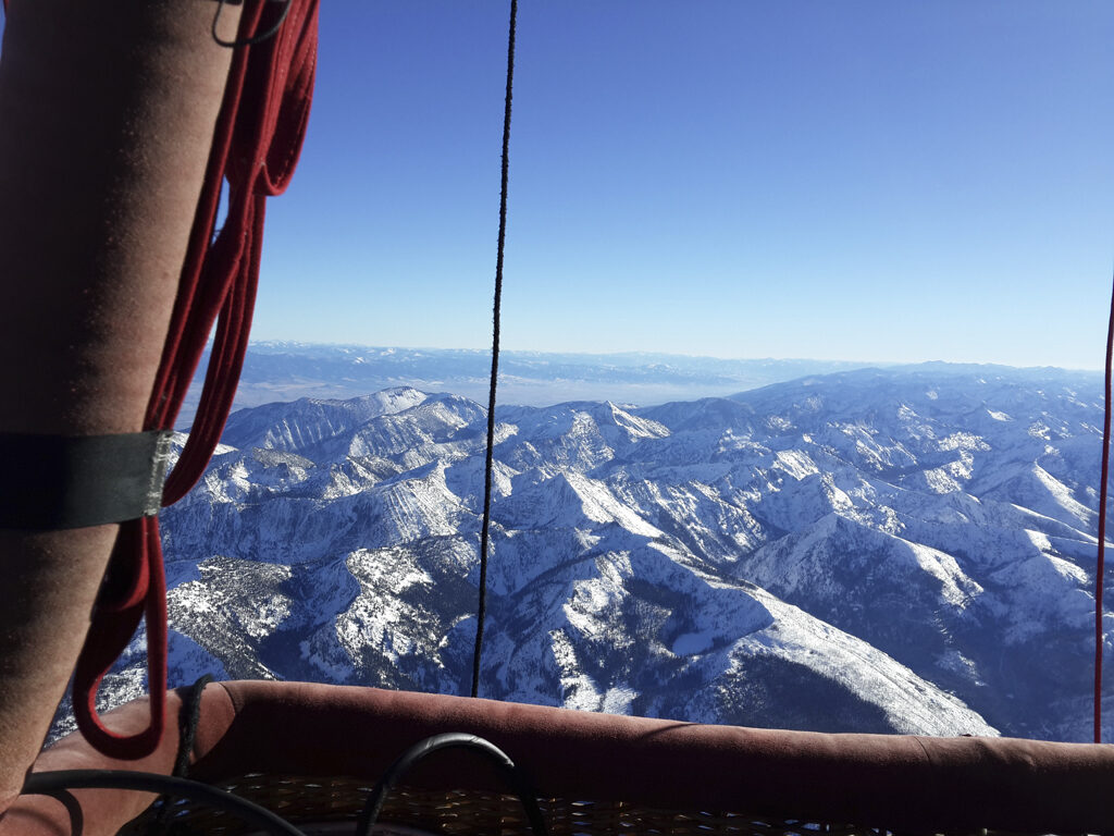
Every single Mountain Butterfly flight is completely unique. Some of our flights fly high into the sky, overlooking the Lewis and Clark trail while gracefully bumping the soft underbelly of a cloud. Others get up-close and personal with the same rivers and trees that guided the Corps of Discovery on their journey, floating just inches above raging rapids and brushing the crowns of the ponderosa pines. No matter how high or low you go, this singular experience is sure to inspire a release of your earth-bound concerns, to make room for a beautiful moment of whimsy and wanderlust that will carry through the rest of your life.
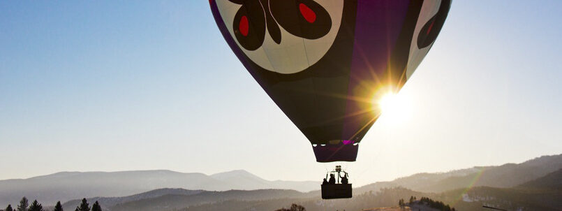
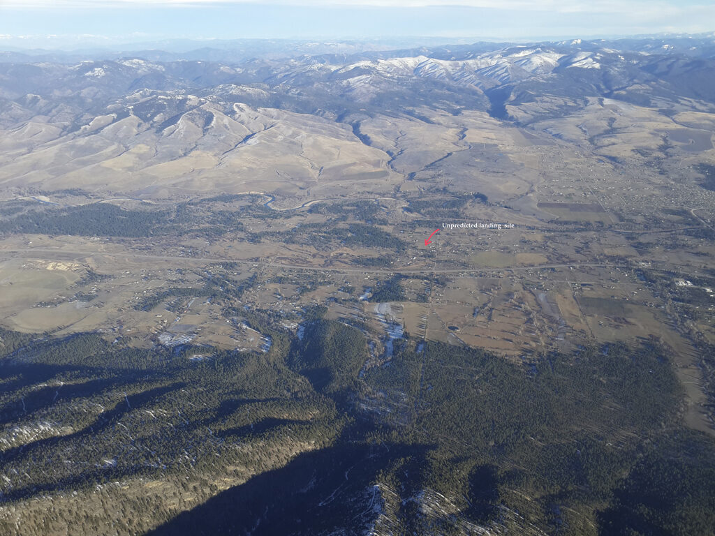
Except for winter-season balloon operations, all flights commence at sunrise, as it is the coolest and most-stable time of a typical day. The majority of our balloon flights last well over an hour and will likely be longer, as landing sites are not always available at our convenience.
So we must find them.
And that, too, is part of the adventure.
Mountain Butterfly pilots are FAA certified and licensed for commercial hot-air balloons, subject to all applicable Federal Aviation Regulations. Hot-air Balloons are Registered Federal Aircraft and inspected annually by a certified representative of the FAA.
Distance Unit:
Distance Unit: