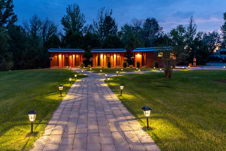
Three Forks KOA
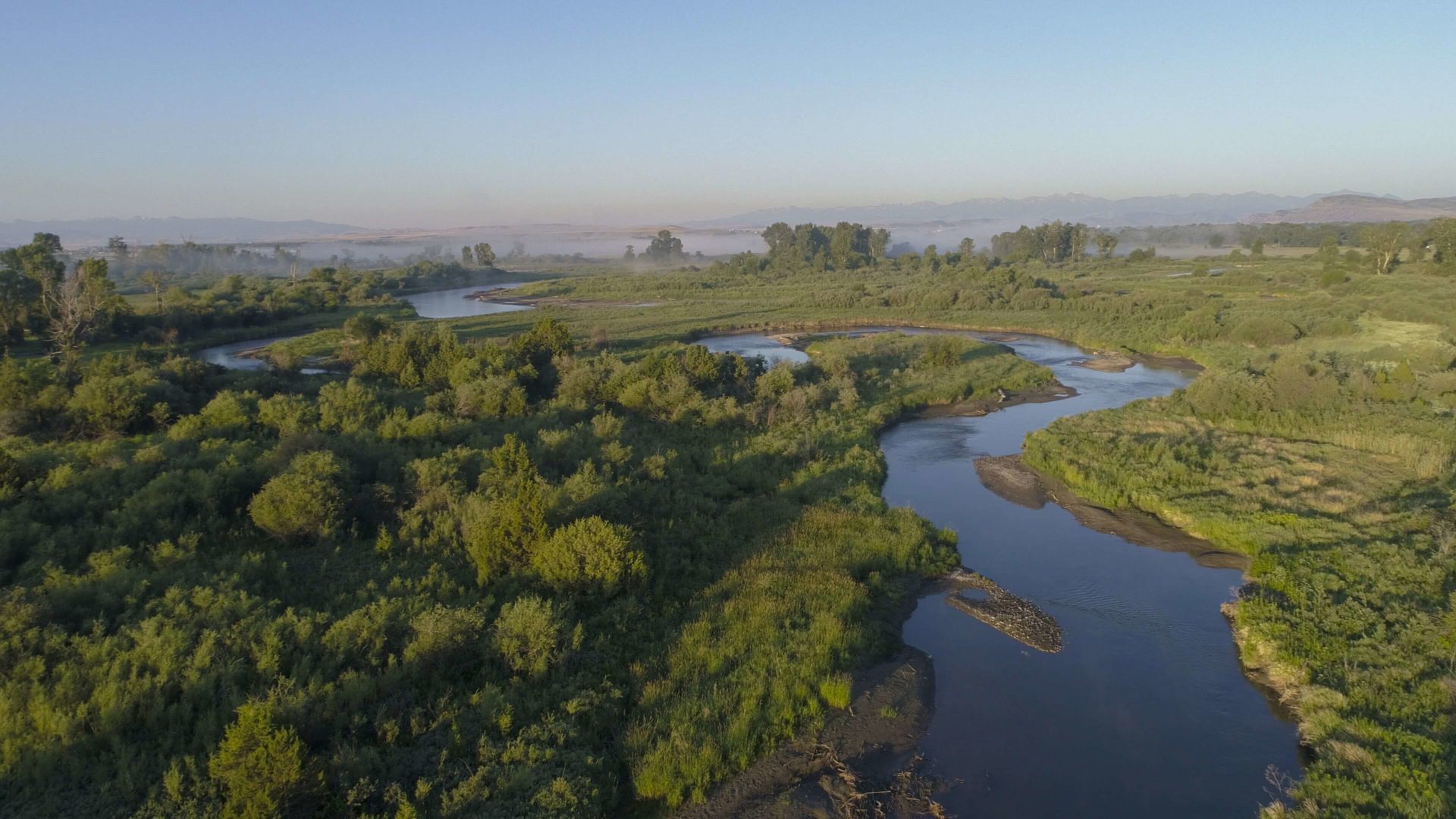
Camp Three Forks is located three miles west of the City of Three Forks and less than one mile away from the Lewis and Clark National Historic Trail. Steeped in the rich history of the Unites States’ westward expansion, the City of Three Forks was aptly named due to its location at the confluence of the Gallatin, Madison, and Jefferson Rivers – all named by the Lewis and Clark Corps of Discovery while they camped in the area. The three rivers join together just miles from Three Forks KOA to form the largest river system on the continent – the Missouri-Mississippi Drainage.
Situated on grassy grounds that feature on-site laundry, free Wi-Fi, fire-rings, and clean restrooms, the campground offers stunning views of the nearby mountain ranges that could ease any anxious mind. The campground’s close proximity to numerous rivers, streams, and high-mountain lakes makes it a convenient place to call home for outdoor enthusiasts and laid-back travelers alike.
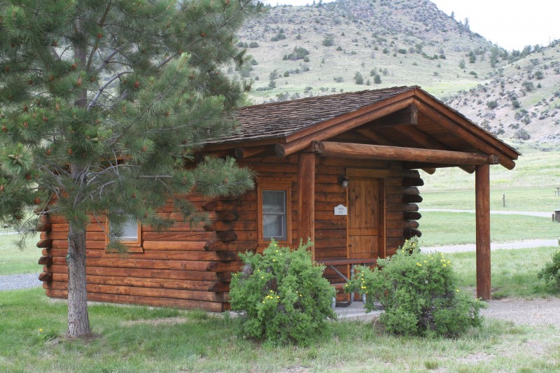
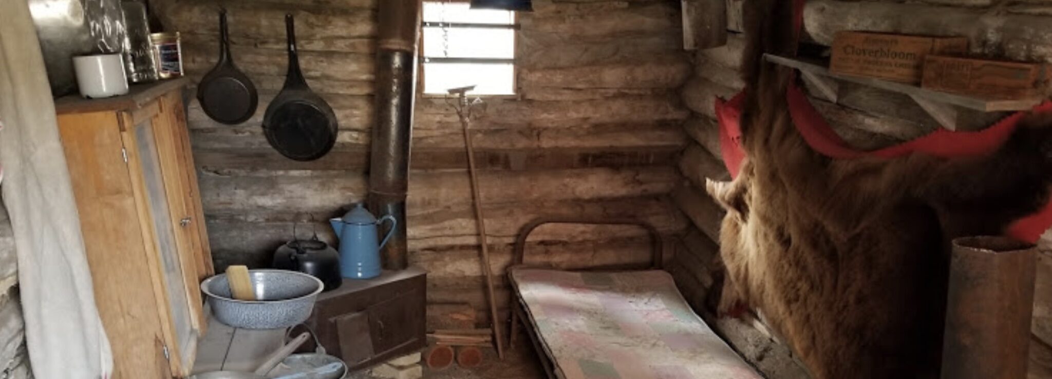
Whether you’re tenting, hooking up your RV, or looking to rent a cozy cabin, Three Forks KOA will keep you cozy and comfortable in the majestic mountains of Montana.
Distance Unit:
Distance Unit:


The Blackfoot River, sometimes called the Big Blackfoot River to distinguish it from the Little Blackfoot River, is a snow-fed and spring-fed river in western Montana.


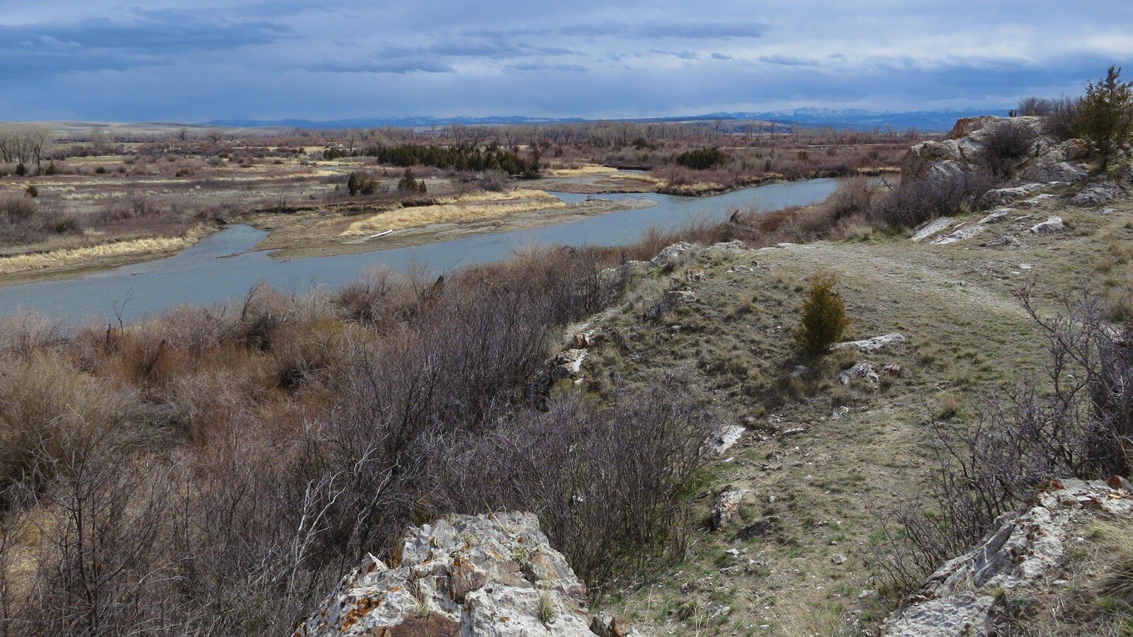
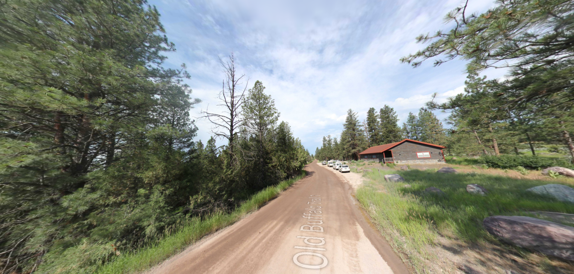
A trail starting at Hauser Dam and overlooking the Missouri River.