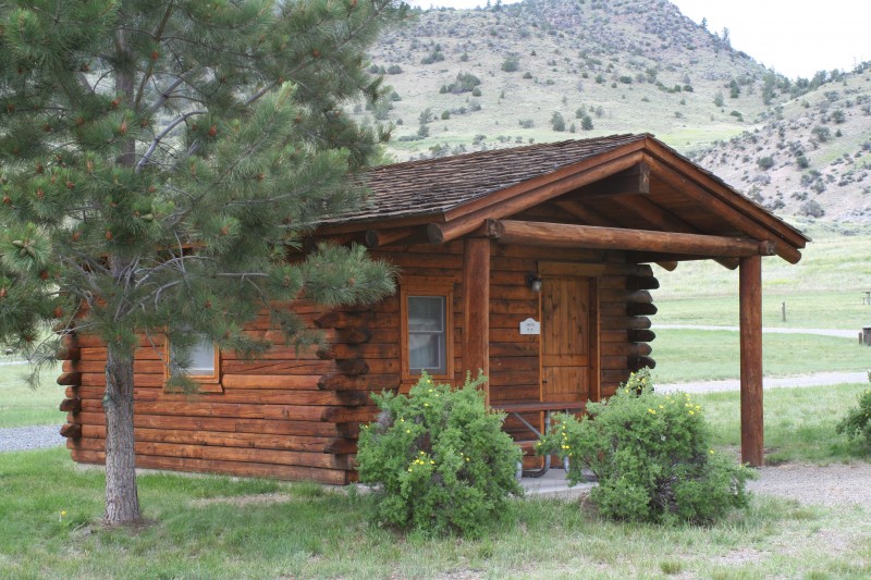
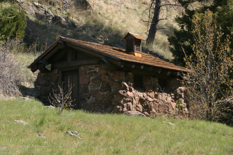
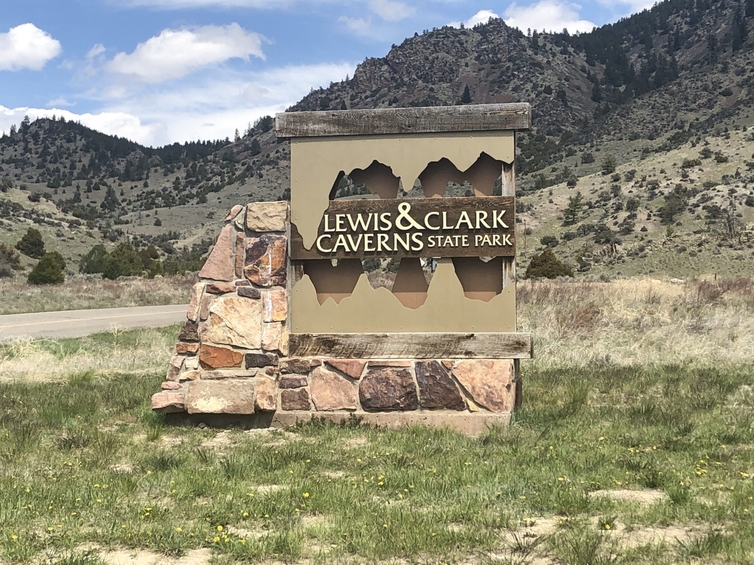
Lewis & Clark Caverns State Park Trails System
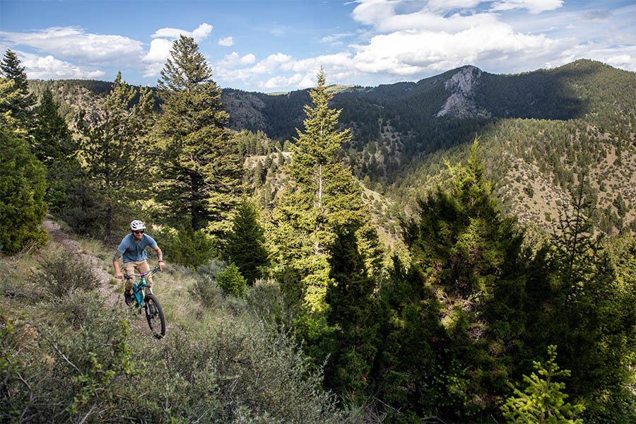
Lewis & Clark Caverns State Park has almost 10 miles of trails to be used by hikers and mountain bikers. They are moderately difficult due to the mountainous terrain, gaining as much as 1000 feet in elevation overall. Varied opportunities from a more level two mile route, to a rugged 7 mile loop used each spring for the Bozeman Running Company’s race course. The Greer Gulch Loop is a self-guided nature trail and is closed to all but foot traffic.
Manager’s Hint: Because the Park normally gets less moisture than all the surrounding area, trail users hit the park hard in spring as these are the only trails open. For less traffic and a better experience with nature, use the trails in the fall or early/late in the summer’s cool.
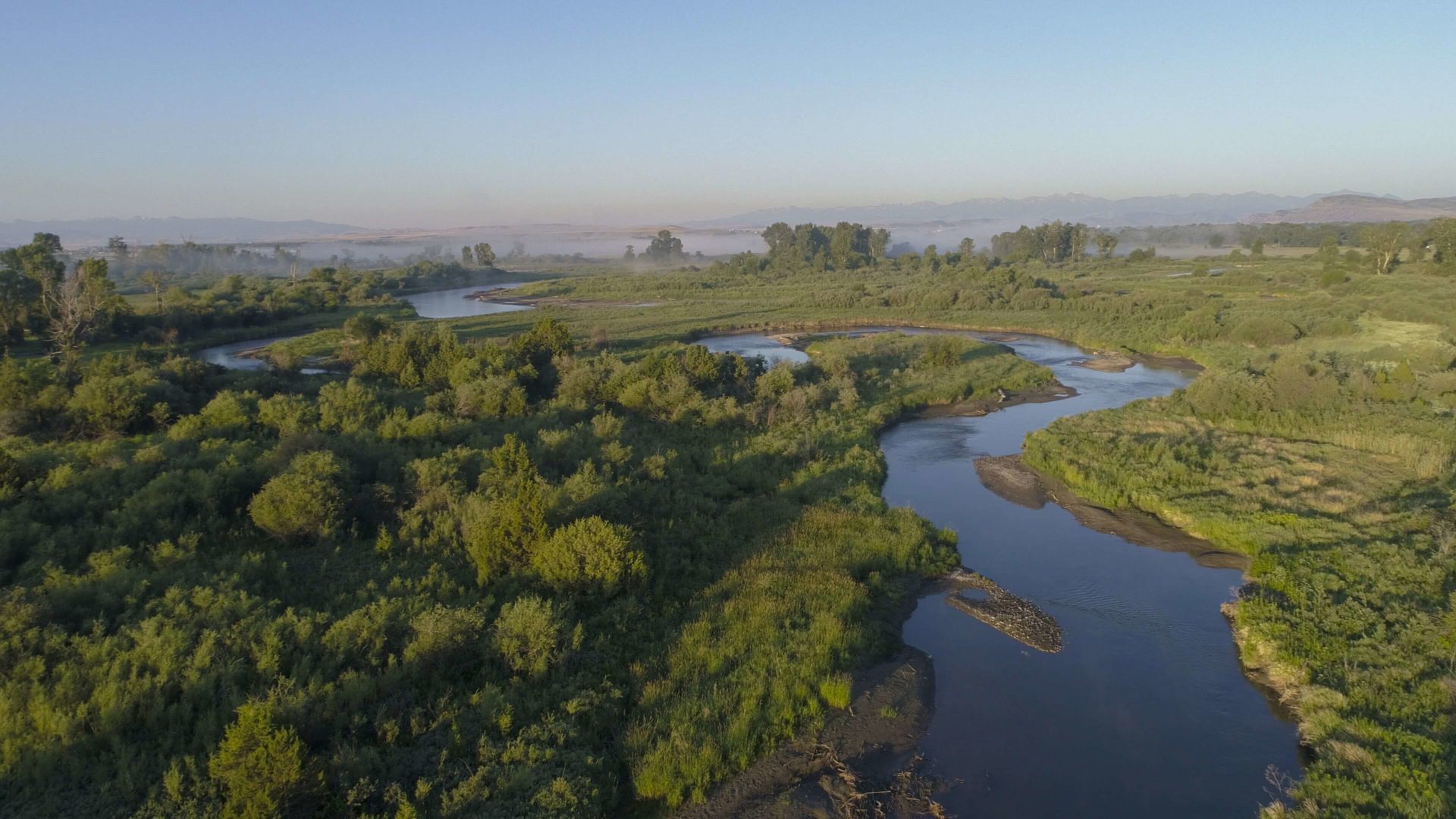
The park brags excellent bird and wildlife watching opportunities with some ranger-led treks occurring throughout the summer. A fishing access site on the fringe of the park’s borders provides water recreation possibilities on the Jefferson River.
Distance Unit:
Distance Unit:


A trail starting at Hauser Dam and overlooking the Missouri River.