Page Feedback

Billings, Montana

Billings, Montana

Information

Visitor Center open Monday through Friday from 8:30 a.m. - 5:00 p.m.
406.252.4016 or toll free at 800.735.2635
lat: 45.773923 long: -108.4953262

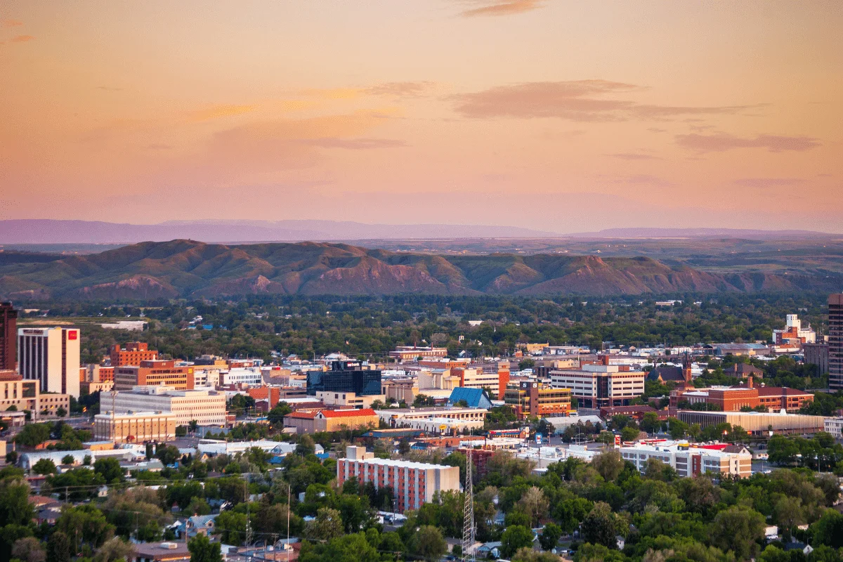
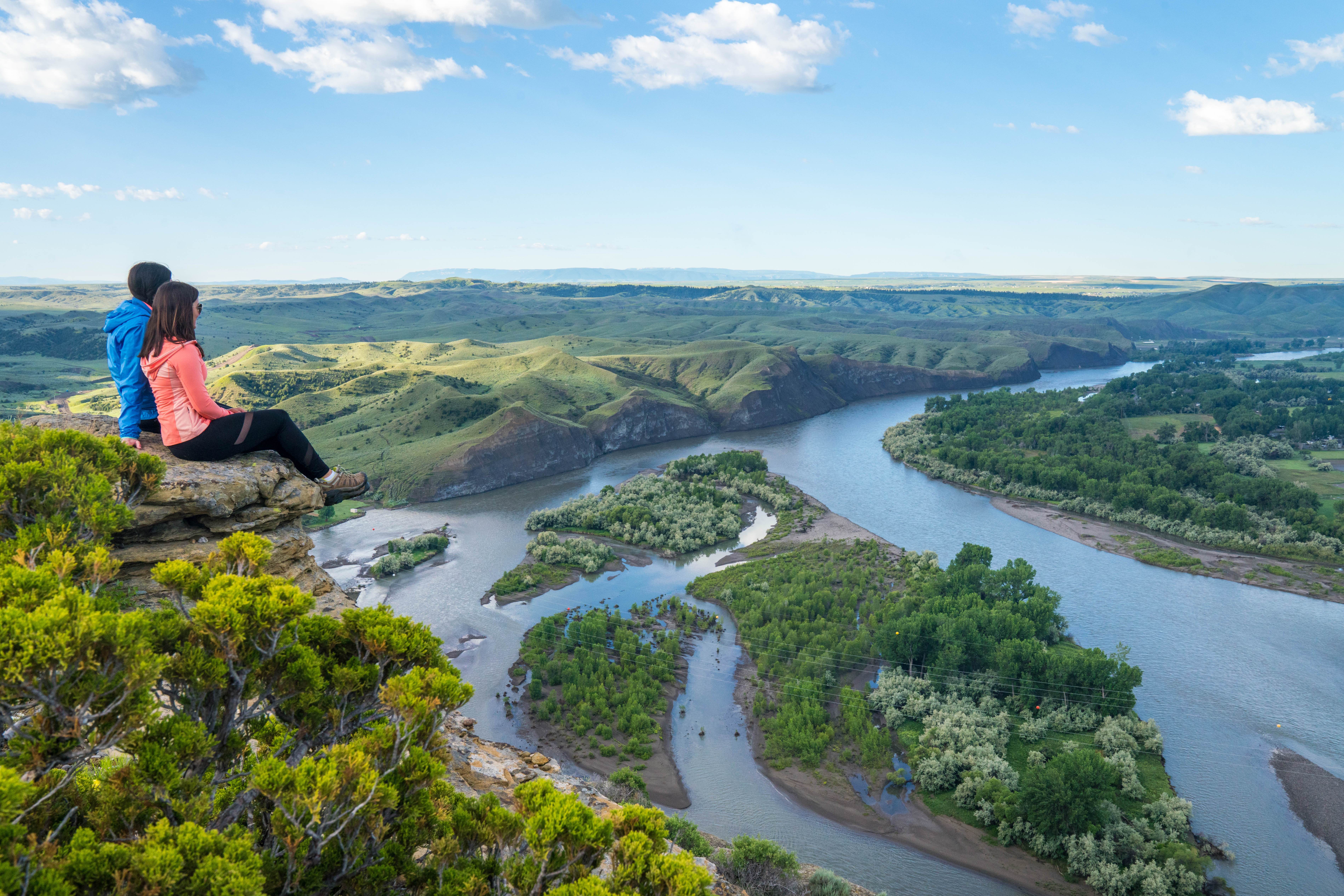
Billings, Montana is a city filled with a great number of museums, food and drink options, landmarks, and outdoor experiences. Having the area structured around the Yellowstone River and the Rimrocks provides unique opportunities for adventure.

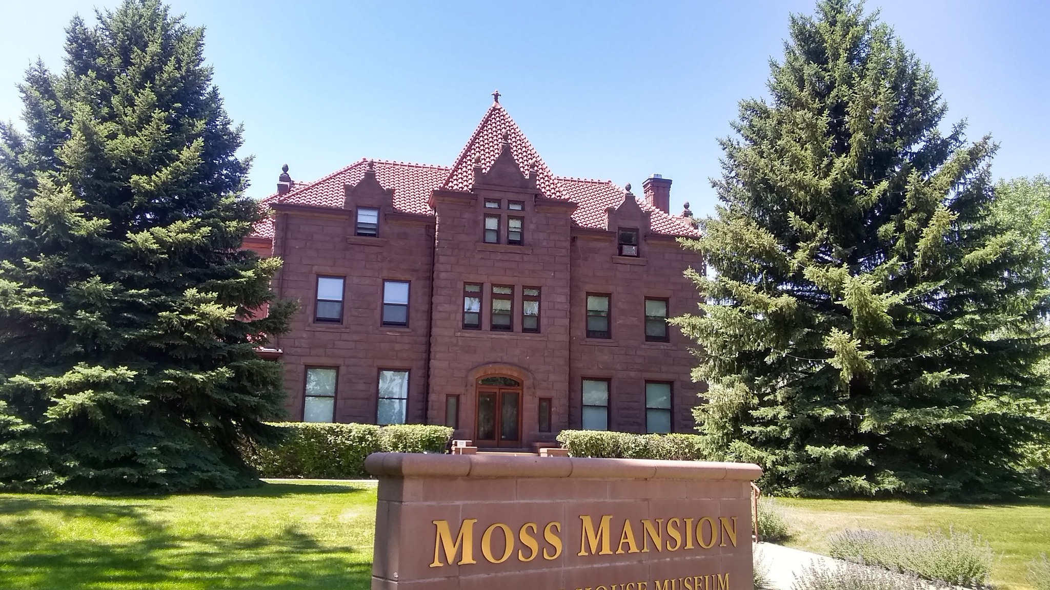
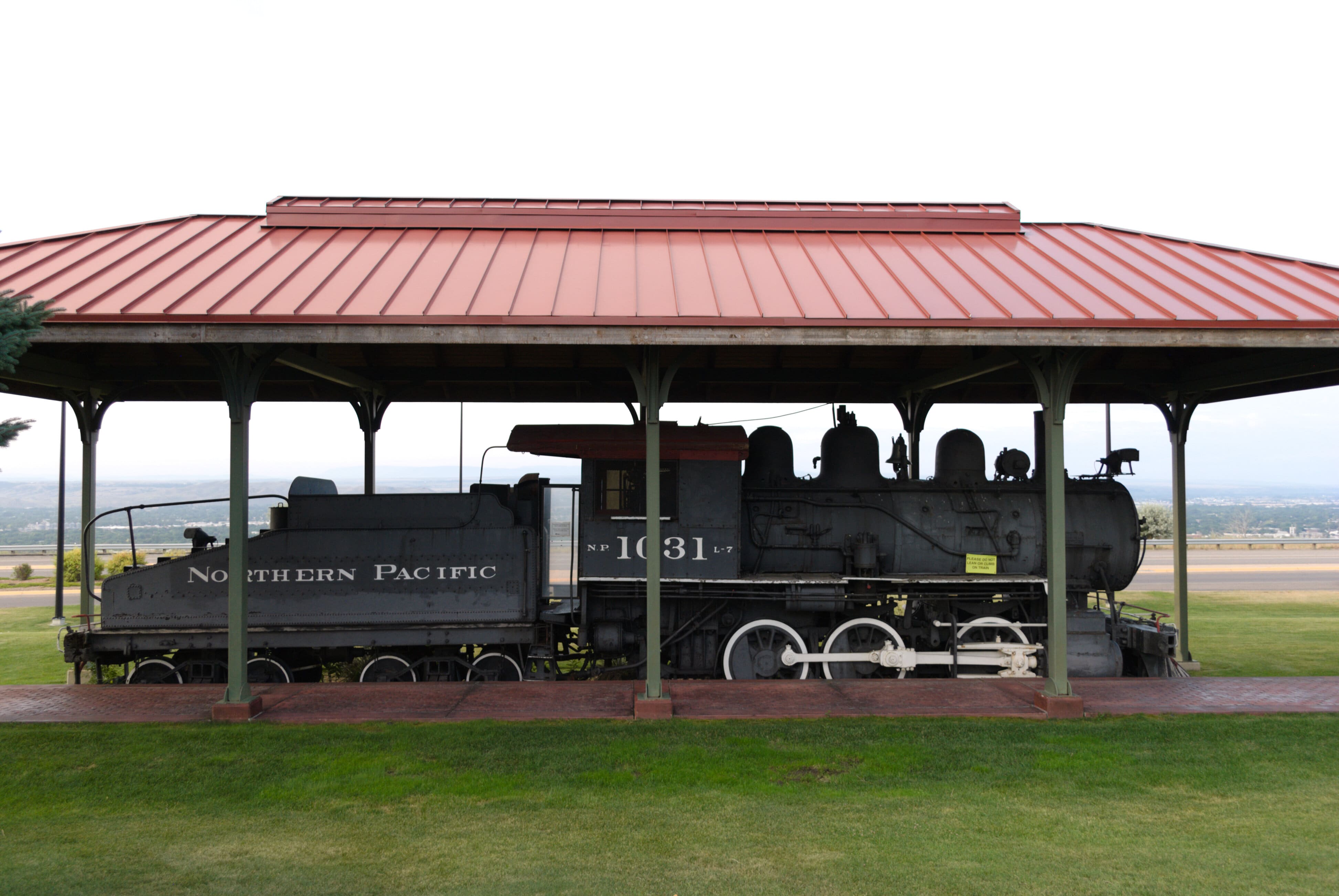
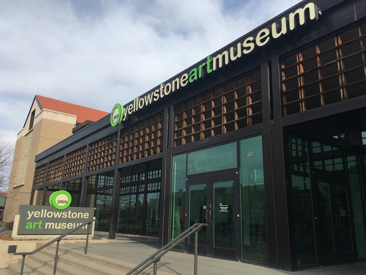
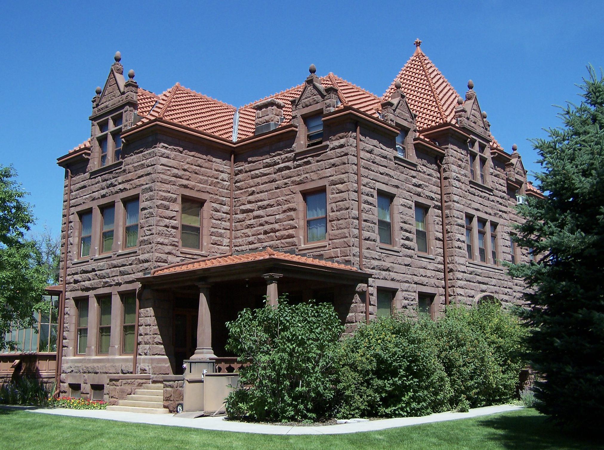
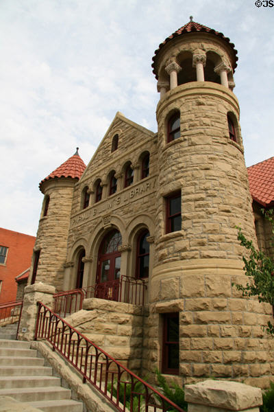
Some of Billings top museums include:

  • The Moss Mansion, an eye-catching mansion built in 1903 that commemorates entrepreneurial achievements of the Moss family and
  • The Western Heritage Center, an extraordinary collection of western artifacts highlighting the background of the stories that the people and places experienced throughout the Yellowstone River Valley and the northern High Plains region.

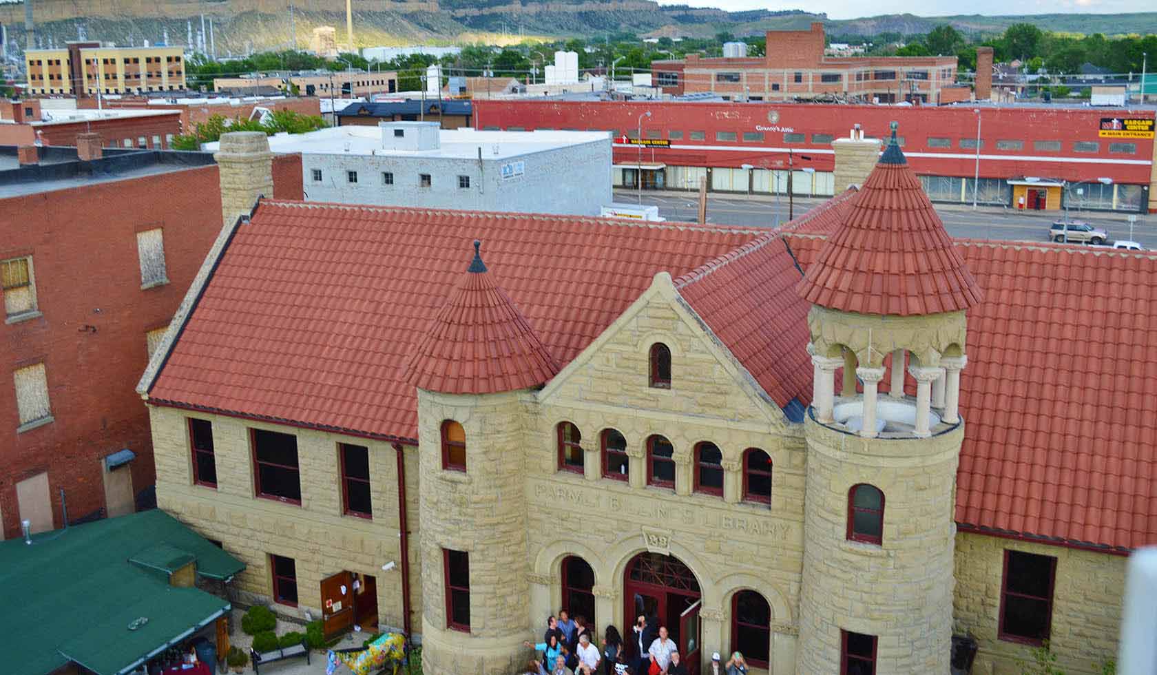
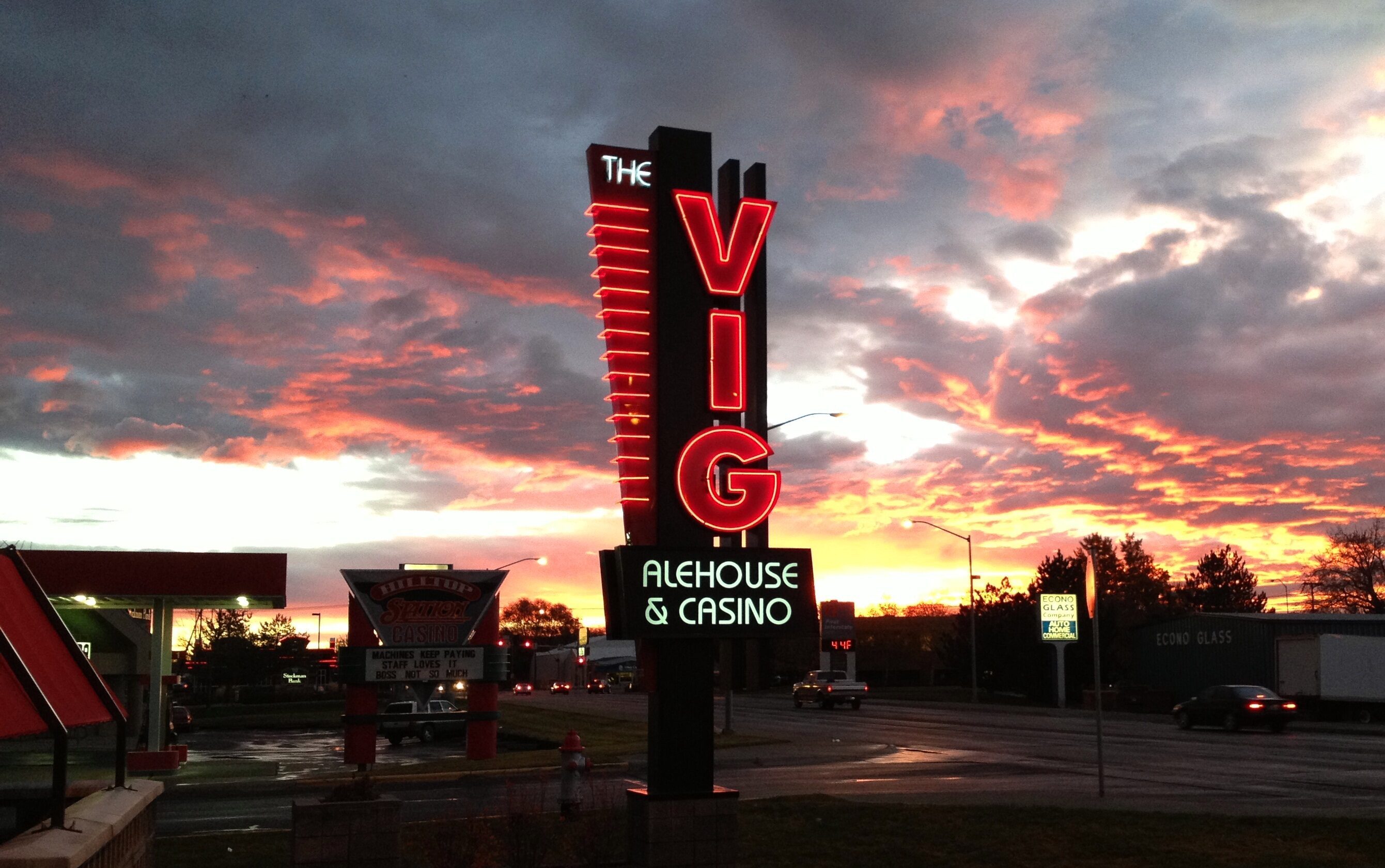
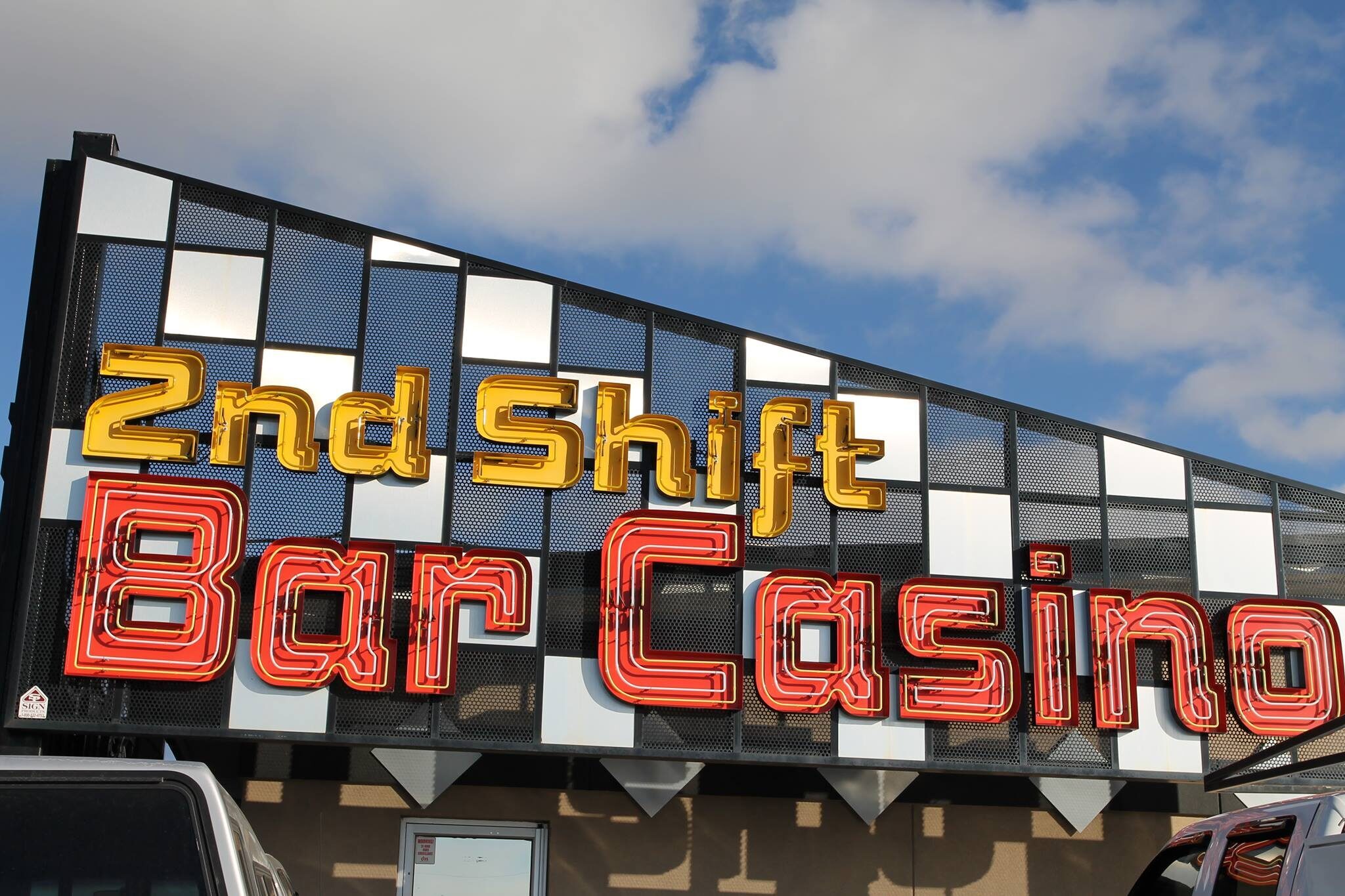
Beyond history, visitors can explore Billings’ current culture as the walkable brewery district with great food and outdoor sitting makes it easy and enjoyable to get a feel of the town. Billings is also home to the first interstate arena. This arena supports local sports, live music, and other events, as well as the Dehler Park that is a multi-use stadium.

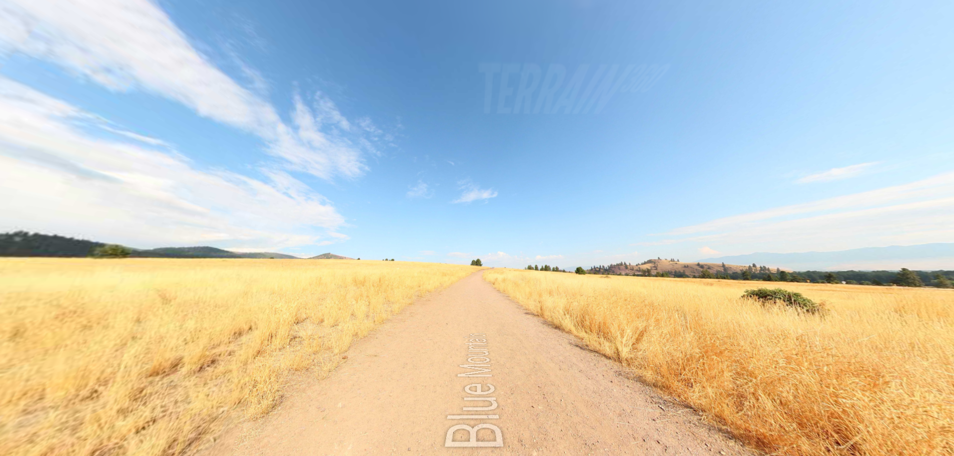
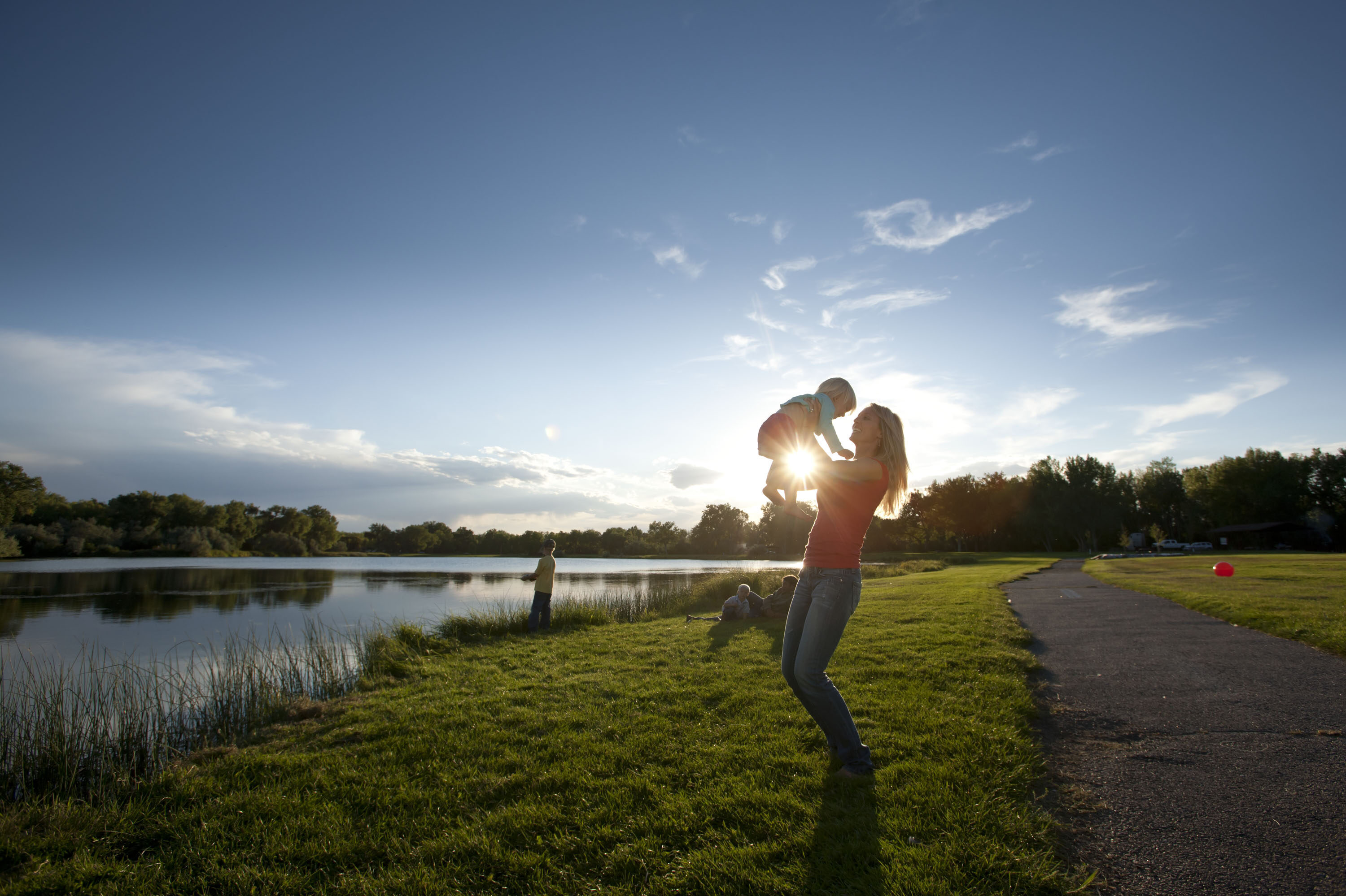
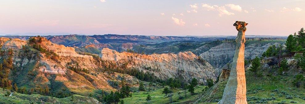
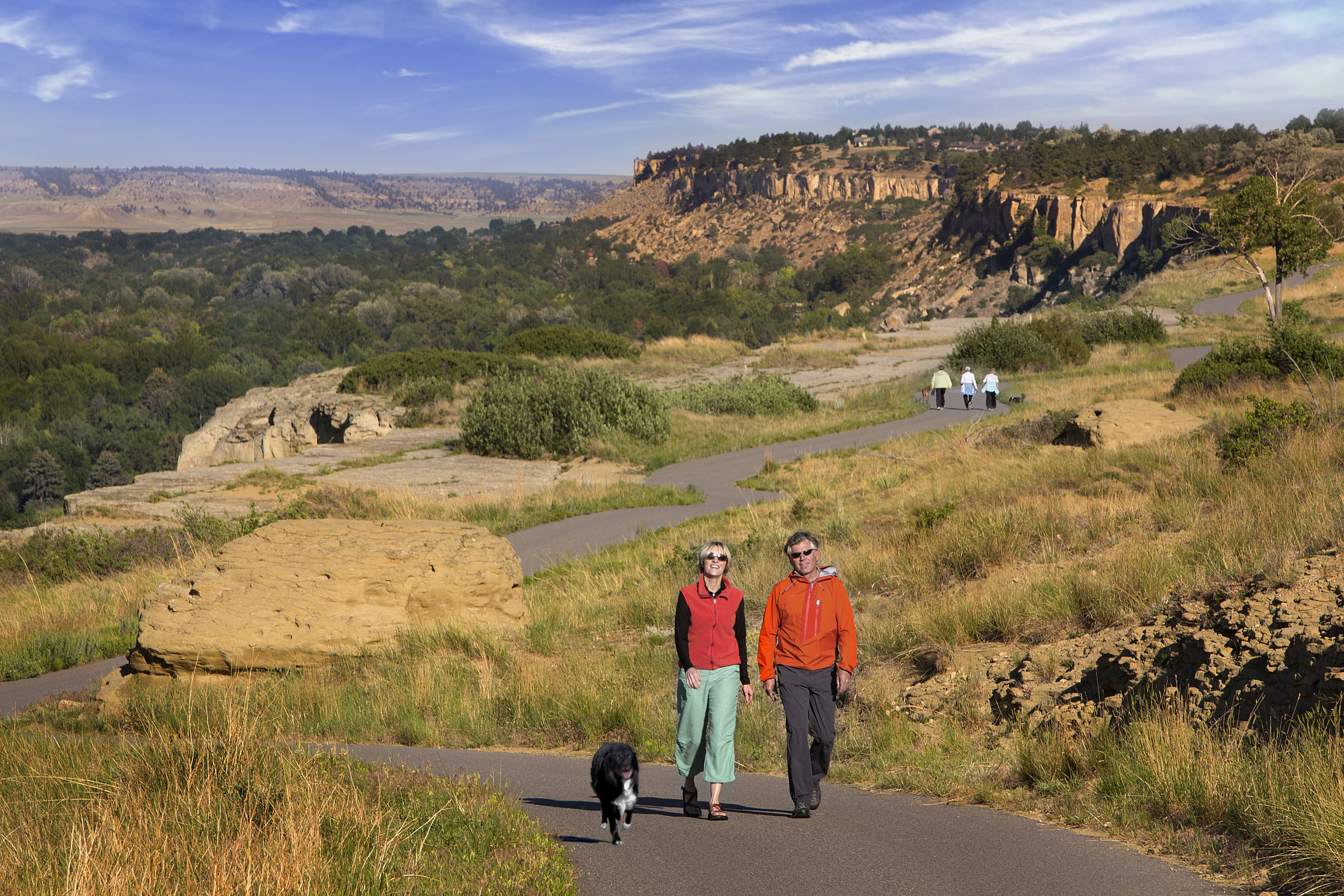
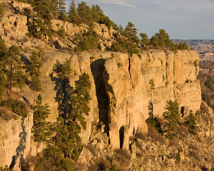
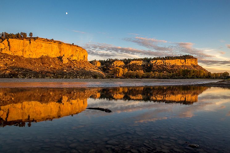
Adventuring outside of the downtown areas, Billings trail system is useful for walking, hiking, biking, rollerblading, and any other activity you are interested in. The Rimrocks around Billings gives residents an easily accessible way to overlook the town. With beautiful views and handfuls of hiking and mountain biking trails, rock climbing routes, picnic areas, and dog-friendly areas, Billings, Montana is one of a kind town.

Nearby Attractions

Distance Unit:

Nearby Trails

Distance Unit:

Hauser Hiking Trail

A trail starting at Hauser Dam and overlooking the Missouri River.

lat: 46.765794328365 long: -111.88708305359
Upper Hauser Lake to Missouri River

lat: 46.6822743 long: -111.8215701
Rogers Pass

lat: 47.0763322 long: -112.370577
Blue Mountain

lat: 46.8148437 long: -114.1806973
Missouri River Left

lat: 46.6822743 long: -111.8215701
Black Sandy Lake Access

lat: 46.7455285 long: -111.8866754
South Shore Trail

lat: 47.534344 long: -111.2047707
Missouri River Right

lat: 46.6822743 long: -111.8215701
Imnamatoon Road

lat: 46.59337 long: -114.61484
Yellowstone River

lat: 45.511026613548 long: -110.58150009801
Travelers Rest State Park

lat: 46.753308 long: -114.0899468
Coal Banks Landing to Eagle Creek

lat: 48.0338635 long: -110.2279854
Send Feedback

Instagram Feed