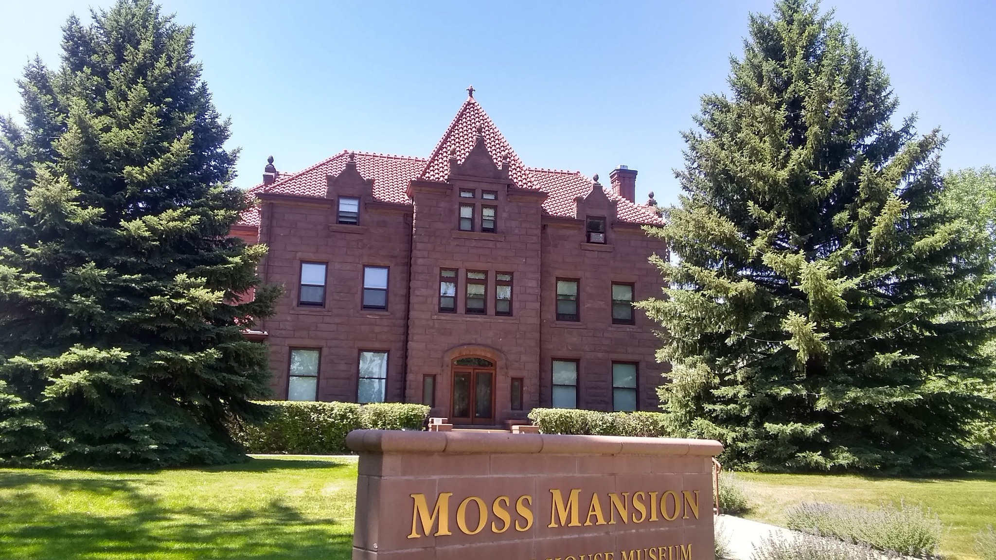
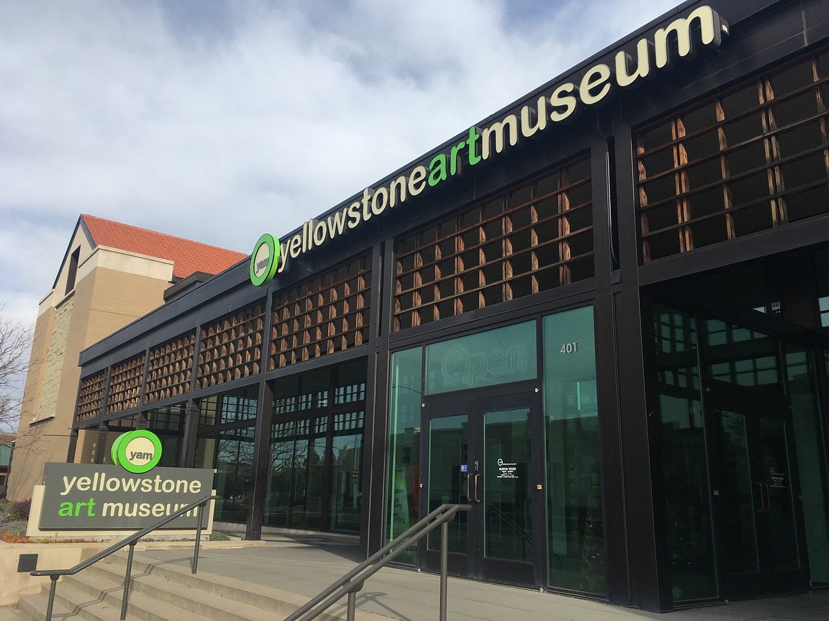
Montana Fun Adventures
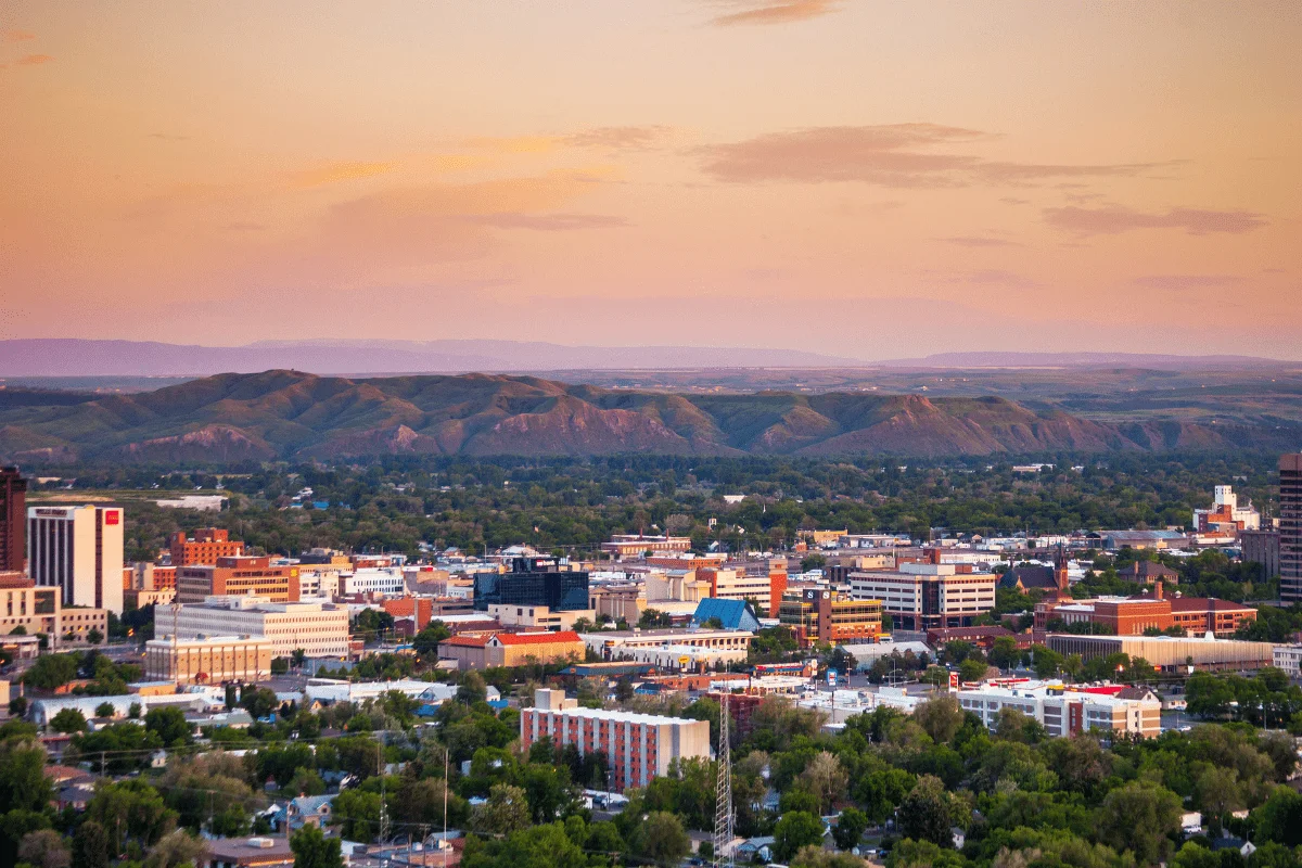
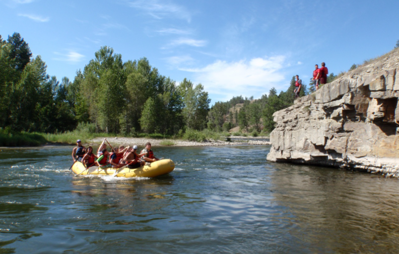
Montana Fun Adventures offers a wide range of thrilling historical, natural, and cultural tours through the Northern and Middle Rockies. For many visitors, the tours are a once-in-a-lifetime chance to merge cinematic views with fully-guided journeys and awe-inspiring history.
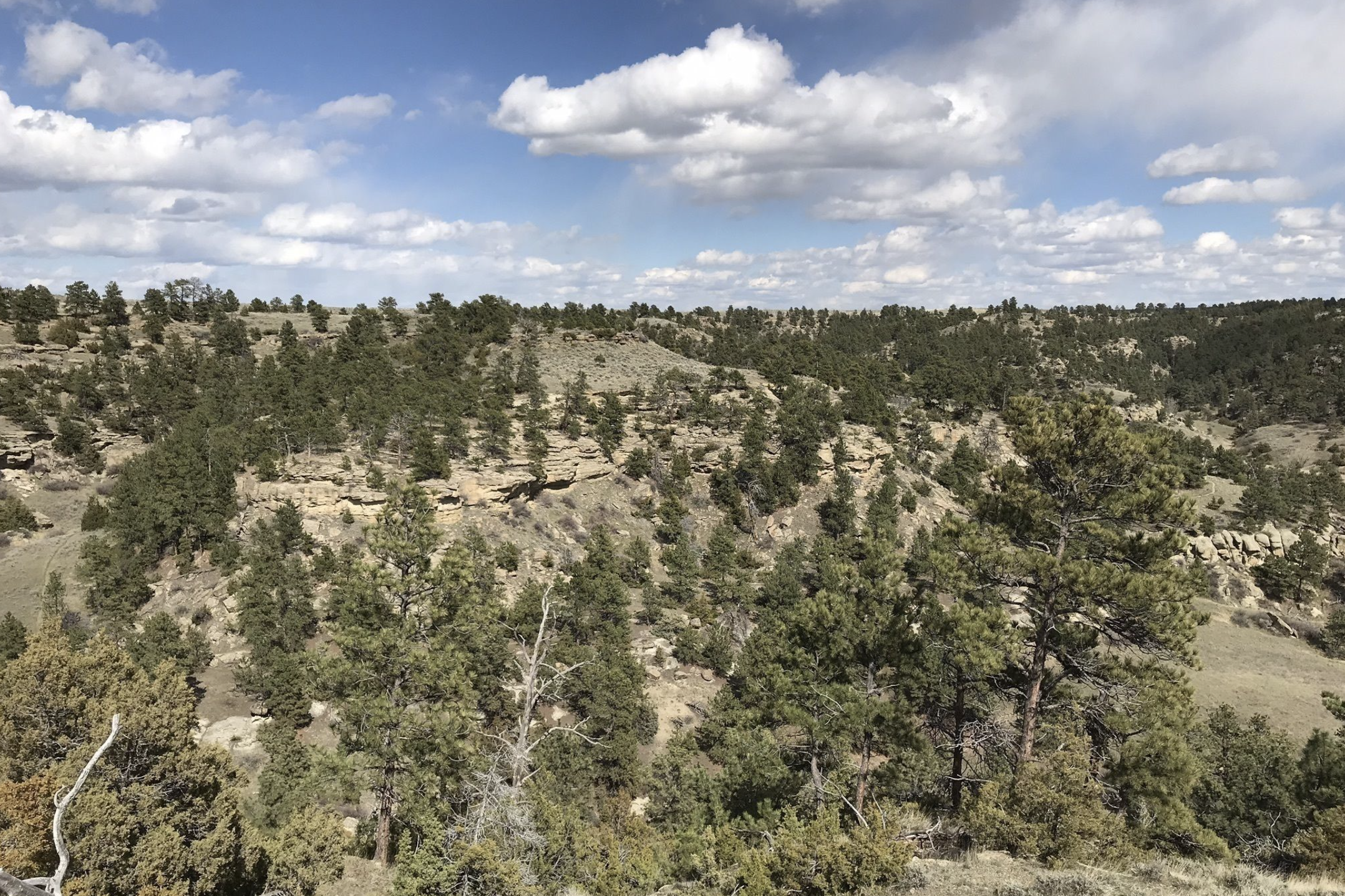
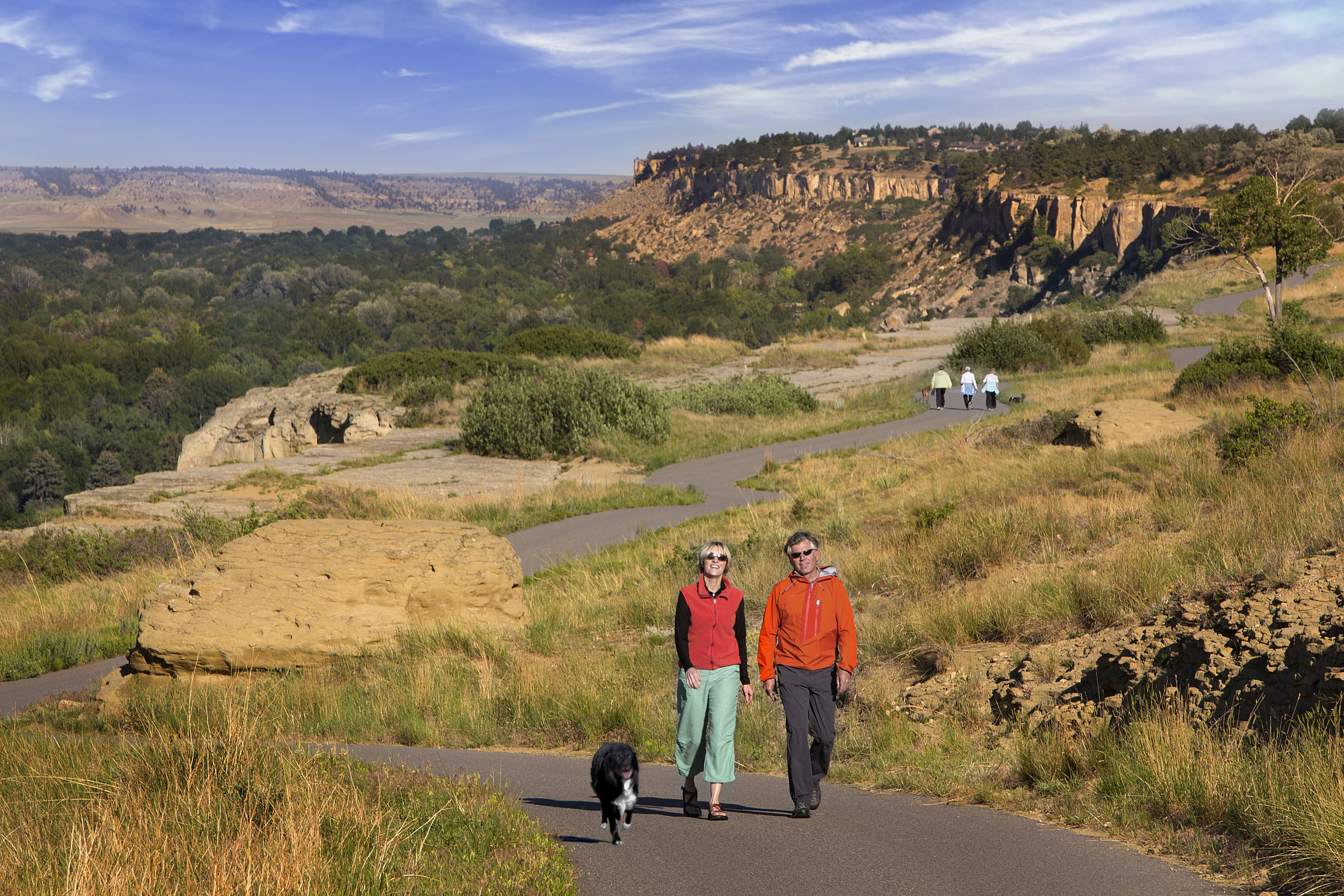
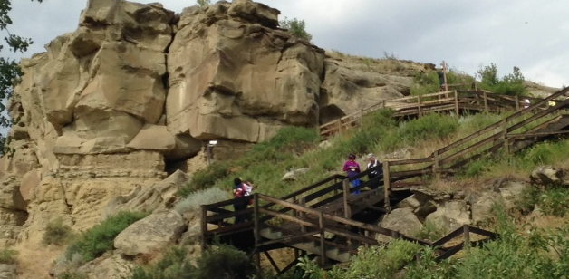
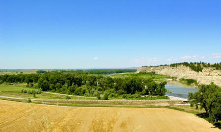
One such tour takes visitors on a journey down the Lewis and Clark National Historic Trail along the Yellowstone River. Famously, just outside of Billings lies a steep rock butte called Pompey’s Pillar. Here, William Clark of the Lewis and Clark Expedition carved his name and the date (July 25th, 1806) into the cliff face as the Corps of Discovery was passing through the area. This carving became the only remaining physical evidence of the Lewis and Clark Expedition along the entirety of the trail.
The Lewis and Clark guided tour retraces the path of Sergeant Pryor’s bull boat on the Yellowstone River as it makes its way from Billings to Pompey’s Pillar National Monument. The tour moves visitors through time, starting with stories from the early fur-trade era and pioneer settlement, all the way through until present-day farming and ranching. Once off-board, Native American lore will be shared with the group while they rest underneath shade of the trees on the banks of the Yellowstone, with the tour ultimately finding its way to William Clark’s hand-carved signature.
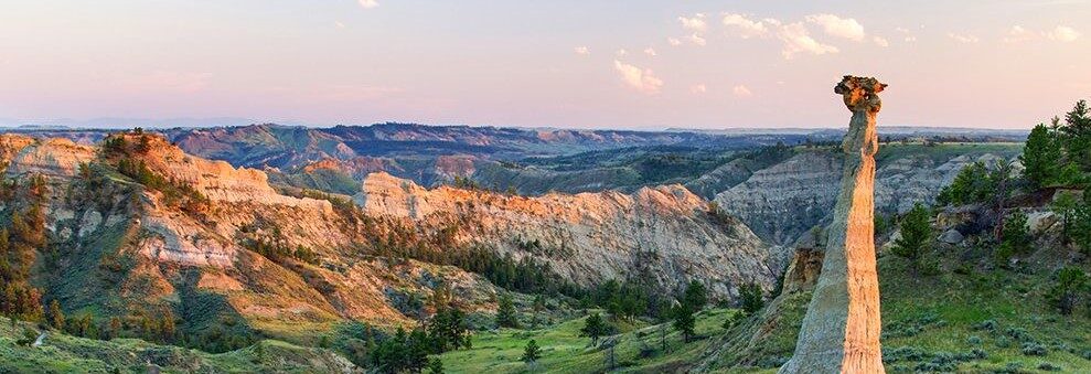
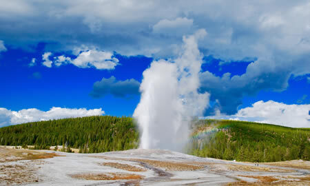
Aside from The Lewis and Clark guided tour, Montana Fun Adventures offers countless other tours through some of America’s most stunning destinations, including Yellowstone National Park and Beartooth Highway.

Distance Unit:
Distance Unit: