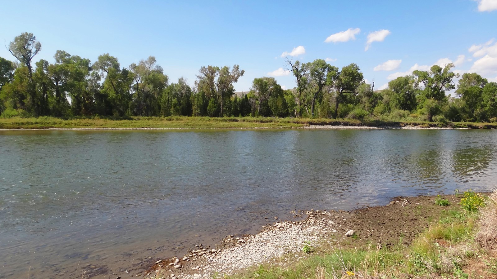
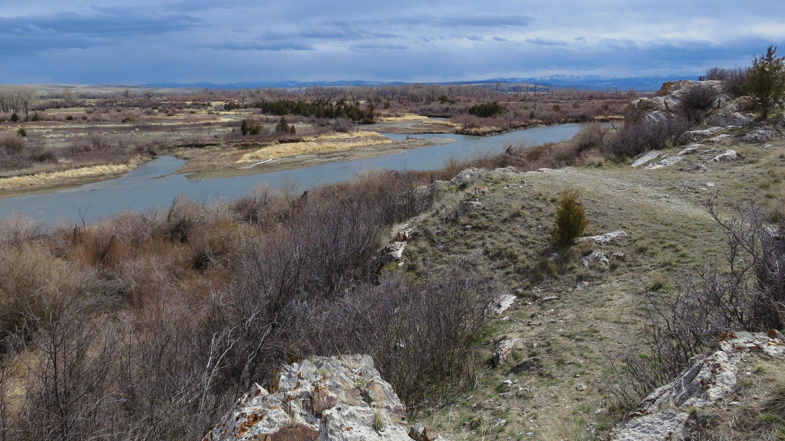
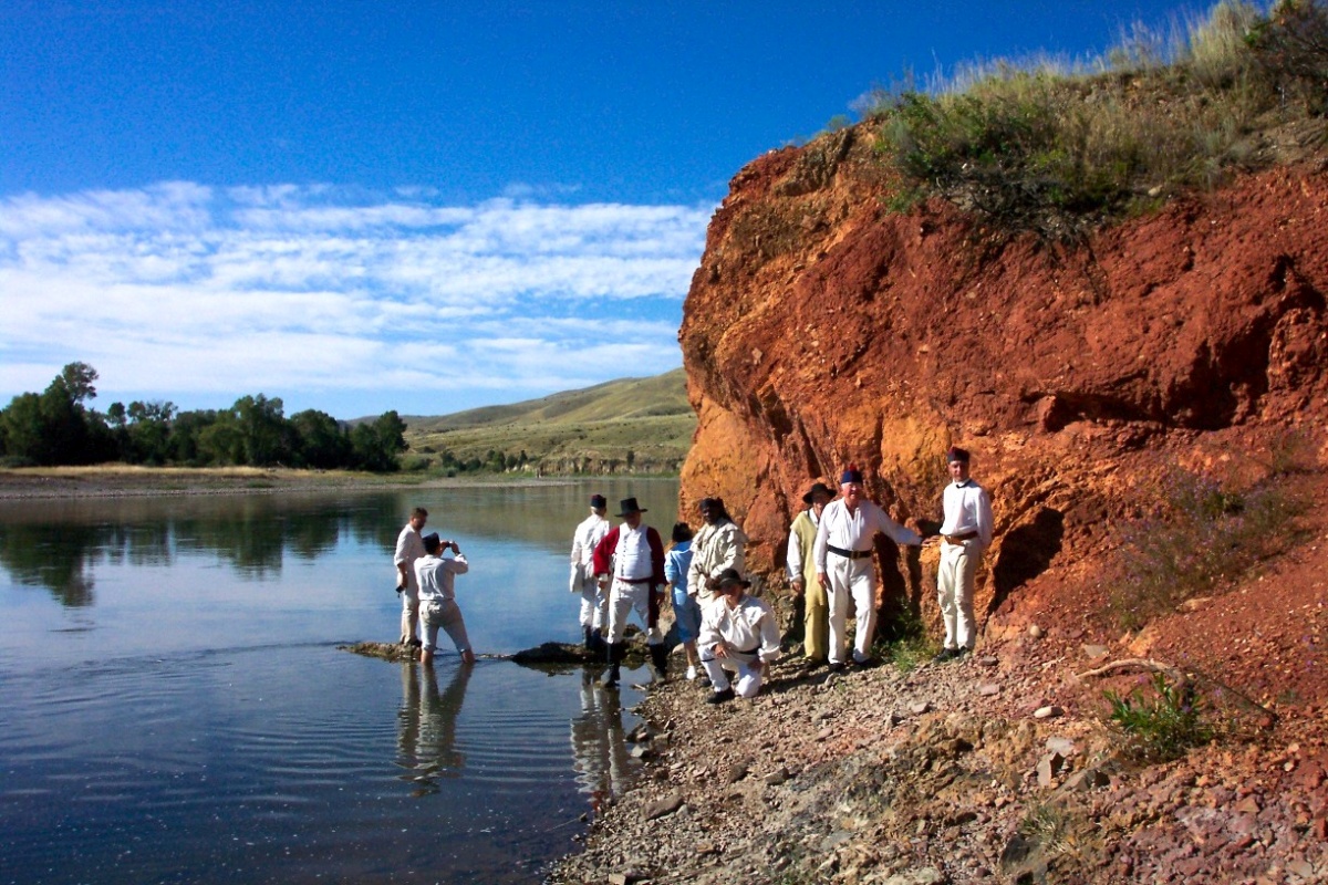
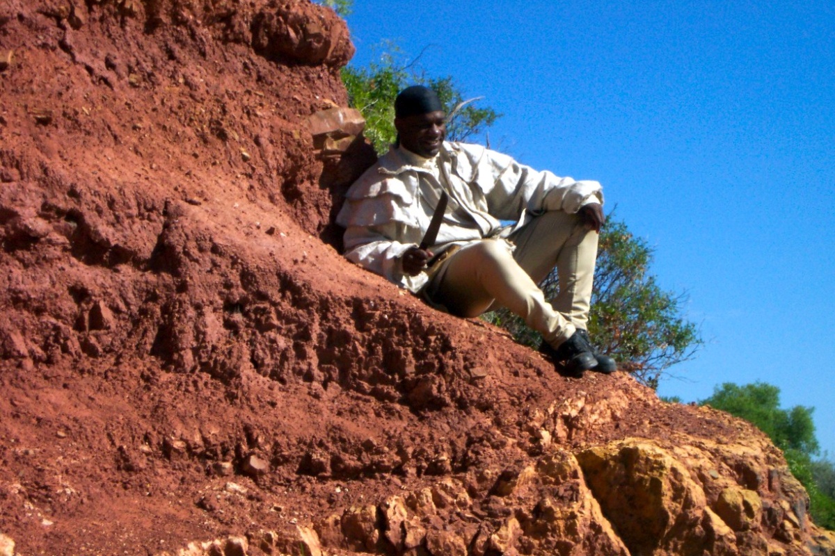
Page Feedback

Crimson Bluffs

Crimson Bluffs

Information

Crimson Bluffs Trailhead is accessible 24/7 throughout the year.
406.266.3908
There is no fee to park or visit Crimson Bluffs.
Crimson Bluffs are pet friendly, but be aware of prickly pears and other cactus.
lat: 46.3130812 long: -111.5458988

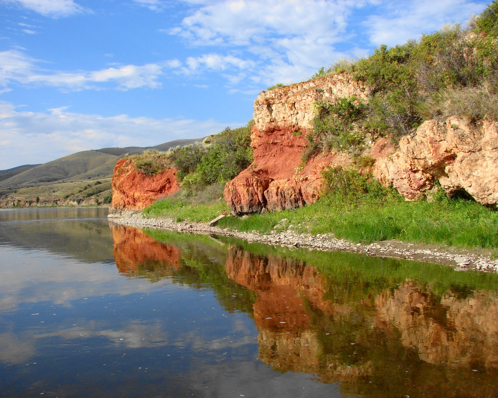
Lewis Journal — July 24, 1805, “…passed a remarkable bluff of crimson coloured earth on Starboard intermixed with Stratas of black and brick red slate.” The historic view of the Crimson Bluffs described in 1805 by Capt. Meriwether Lewis is largely unchanged today.

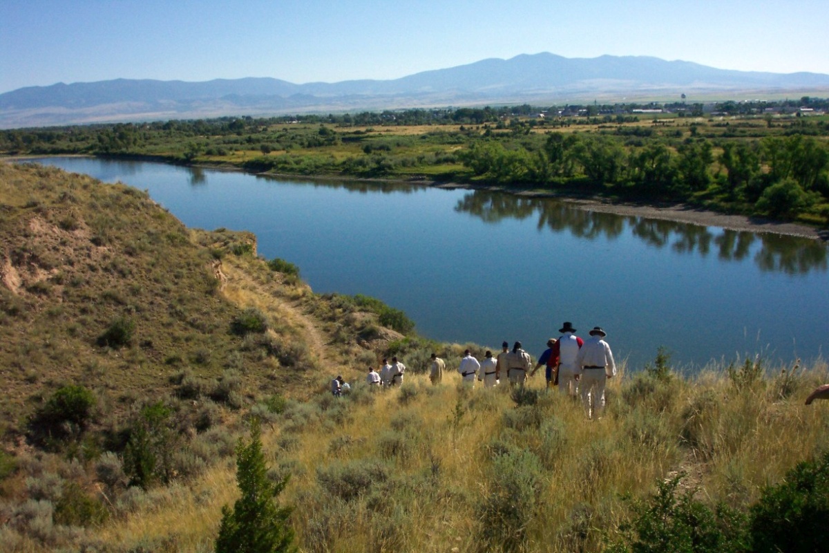
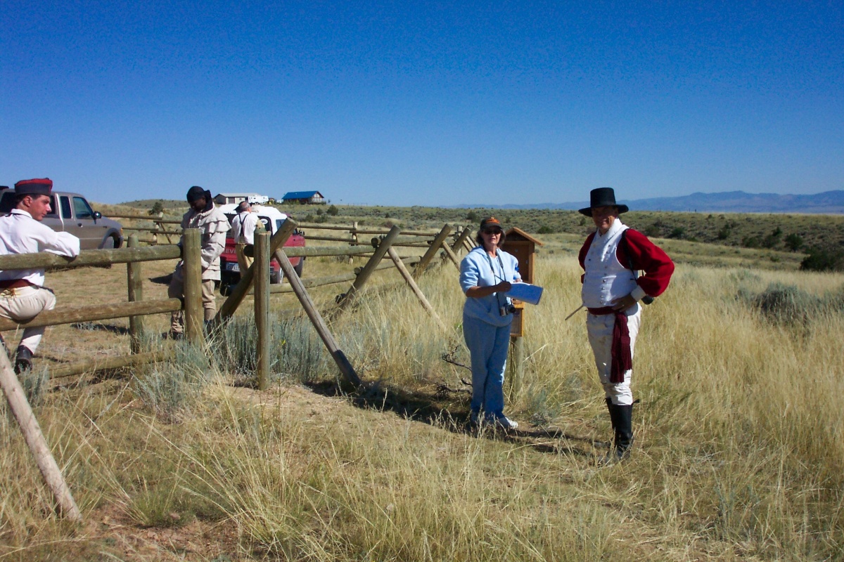
There is a fenced parking area with signage on River Road, near Townsend, MT. Crimson Bluffs are accessible only by foot traffic a short distance from the parking area. The best view of the Crimson Bluffs is from the Missouri River, heading upstream in early morning light.  “Capt. Clark actually didn’t see the Crimson Bluffs when they came through,” according to local historian, Troy Helmick. “He was walking along the shore at that time up on the top of the bluff.” It was Capt. Lewis, the men, Sacagawea and Pomp who had the best view from their canoes.


Nearby Attractions

Distance Unit:

Nearby Trails

Distance Unit:

Black Sandy Lake Access

lat: 46.7455285 long: -111.8866754
St Lawrence Creek Fishing Access

lat: 45.7109992 long: -111.0506995
Hauser Hiking Trail

A trail starting at Hauser Dam and overlooking the Missouri River.

lat: 46.765794328365 long: -111.88708305359
Weight Station Fishing Access

lat: 46.8788874 long: -113.8525126
Explorers at Portage

lat: 47.4925734 long: -111.3073279
James Kipp Landing

lat: 47.6276519 long: -108.6854877
Decision Point

lat: 47.9249036 long: -110.4985534
Coal Banks Landing to Eagle Creek

lat: 48.0338635 long: -110.2279854
Mcnamara to Bonner

lat: 46.9502198 long: -113.3787584
Missouri River Left

lat: 46.6822743 long: -111.8215701
Antelope Wilderness to James Kipp Landing

lat: 47.6274434 long: -108.6934195
Lolo Trail to Nee Me Poo Trail #40

lat: 46.58654 long: -114.73281
Send Feedback

Instagram Feed