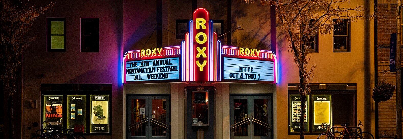
Missoula Carousel and Caras Park
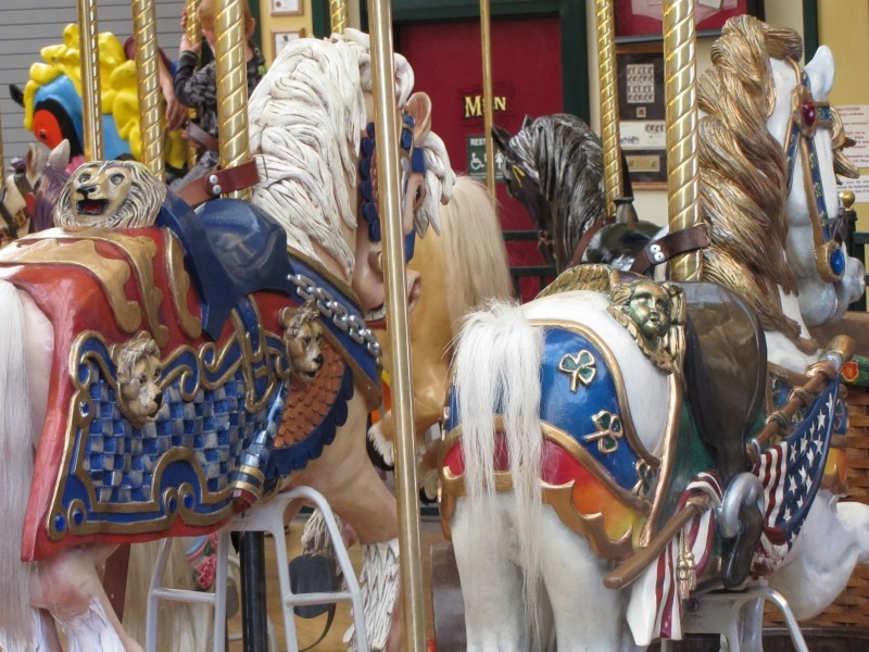
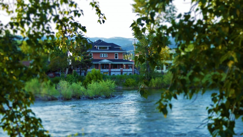
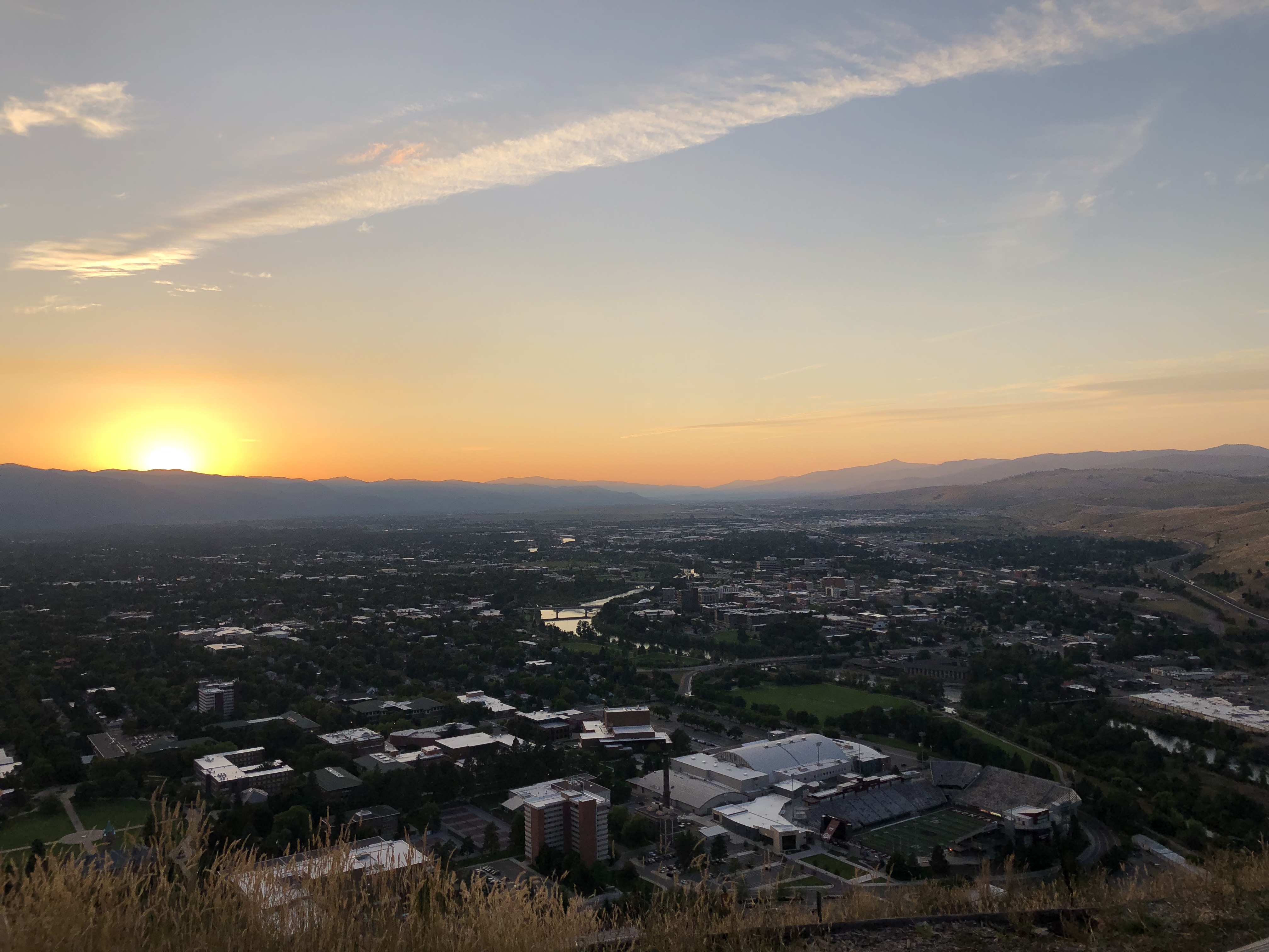
In the heart of downtown Missoula sits the Carousel for Missoula and Caras Park. They sit perched above the Clark Fork River with sweeping views of Mount Sentinel and offer a hub of activity.
Missoula cabinet-maker Chuck Kaparich promised to build a Carousel for Missoula if they could offer a permanent home for it. Kaparich had spent much of his childhood enjoying the carousel at the now vanished Columbia Gardens in Butte, Montana. With the help of volunteers extending all the way from Calgary, Alberta, Canada the Carousel was opened May 27, 1995. Over 100,000 hours of volunteer time went into constructing a masterpiece of a carousel for residents and visitors alike. Enjoy a ride and admire the hand carved 38 permanent ponies, two chariots, and 14 gargoyles and the largest band organ in continuous use in the United States.
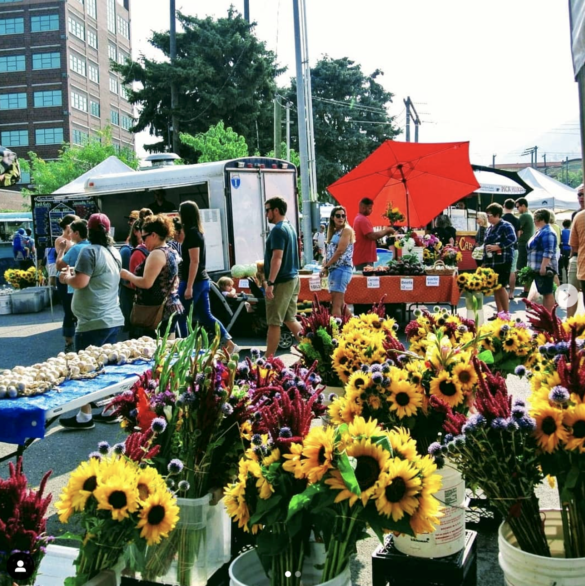
When you’re done catching a ride on the carousel hop on over to Caras Park. The open air venue offers up live music, farmer markets, and festivals. A wonderful viewing deck overlooks the Clark Fork River and Brennan’s Wave, a kayaker’s whitewater masterpiece.
Distance Unit:
Distance Unit:

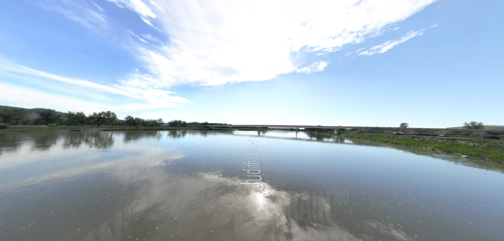


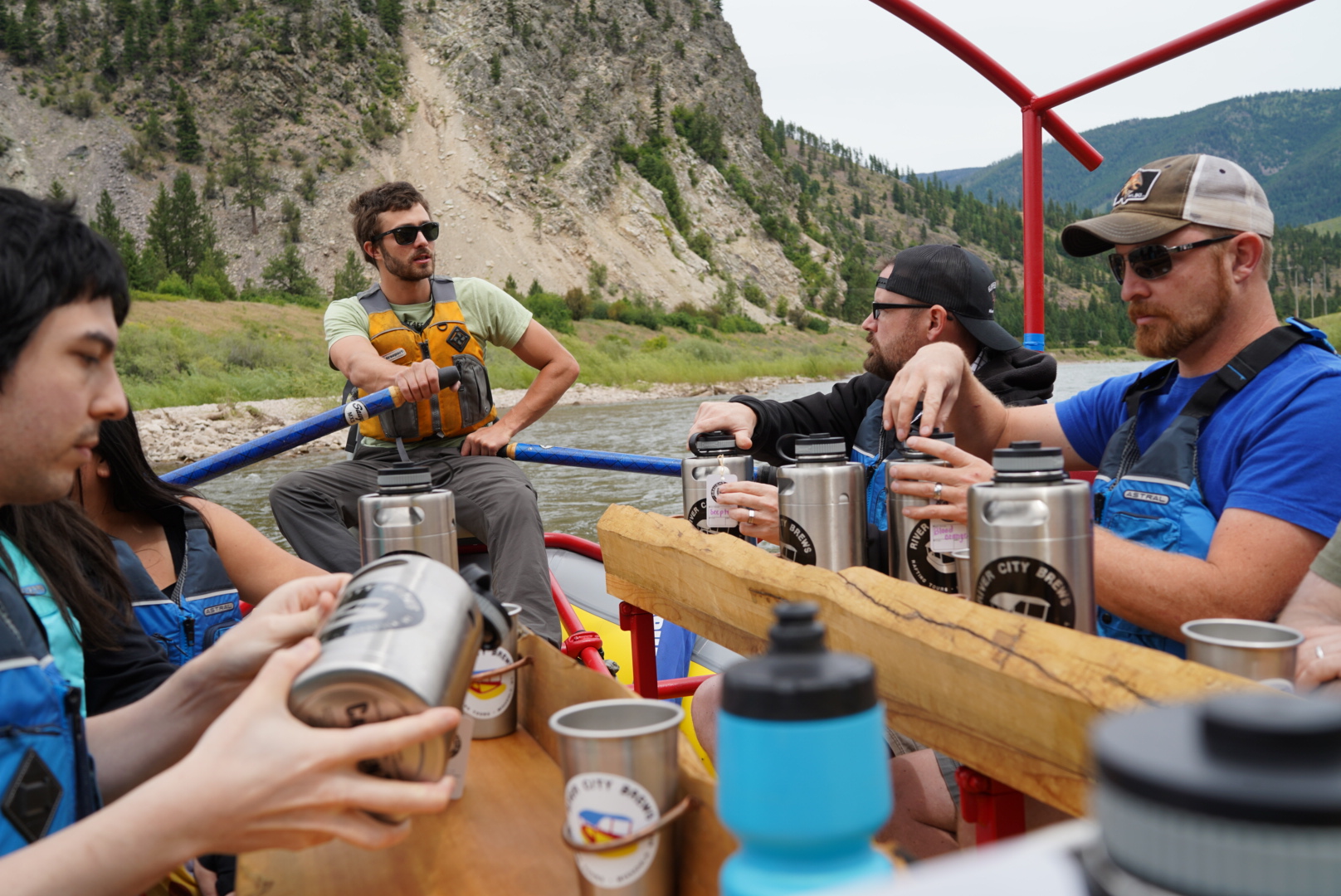
The Blackfoot River, sometimes called the Big Blackfoot River to distinguish it from the Little Blackfoot River, is a snow-fed and spring-fed river in western Montana.