Lolo Creek Distillery
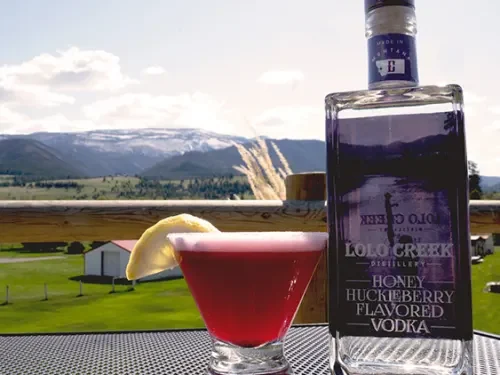
Lolo Creek Distillery is a locally owned distillery, making hand-crafted small batch spirits in the heart of Lolo, with the best views in Montana! We are a 4th generation, family owned business, and have been in the liquor industry most of our lives. With all our experience we decided it was time to expand, and we opened the distillery and tasting room in April of 2018.
At Lolo Creek Distillery, we love to support local! We use as many local Montana ingredients as possible, not just in our spirits, but in our cocktails too. We have a 20-year relationship, almost like family, with a 7th generation farmer in Montana’s Golden Triangle. This allows us to use some of the best grain in the world. Our spirits are bottled by hand, so every bottle is filled with ‘A LOT OF LOVE’. They are truly hand crafted.
The design of our bottles is just as important to us as the liquor inside. Our two sons are on our bottles to remind people we are family owned and operated and we hope our boys might be the next generation to carry on the family business in Lolo. The bottles might even remind you of a famous line in the movie, A River Runs Through It, “Oh, I’ll never leave Montana brother.” Or at least, we hope it does. Our bottles remind us of the way we felt when fishing and being young in Montana.
We hope to see you soon! Cheers!
Distance Unit:
Distance Unit:
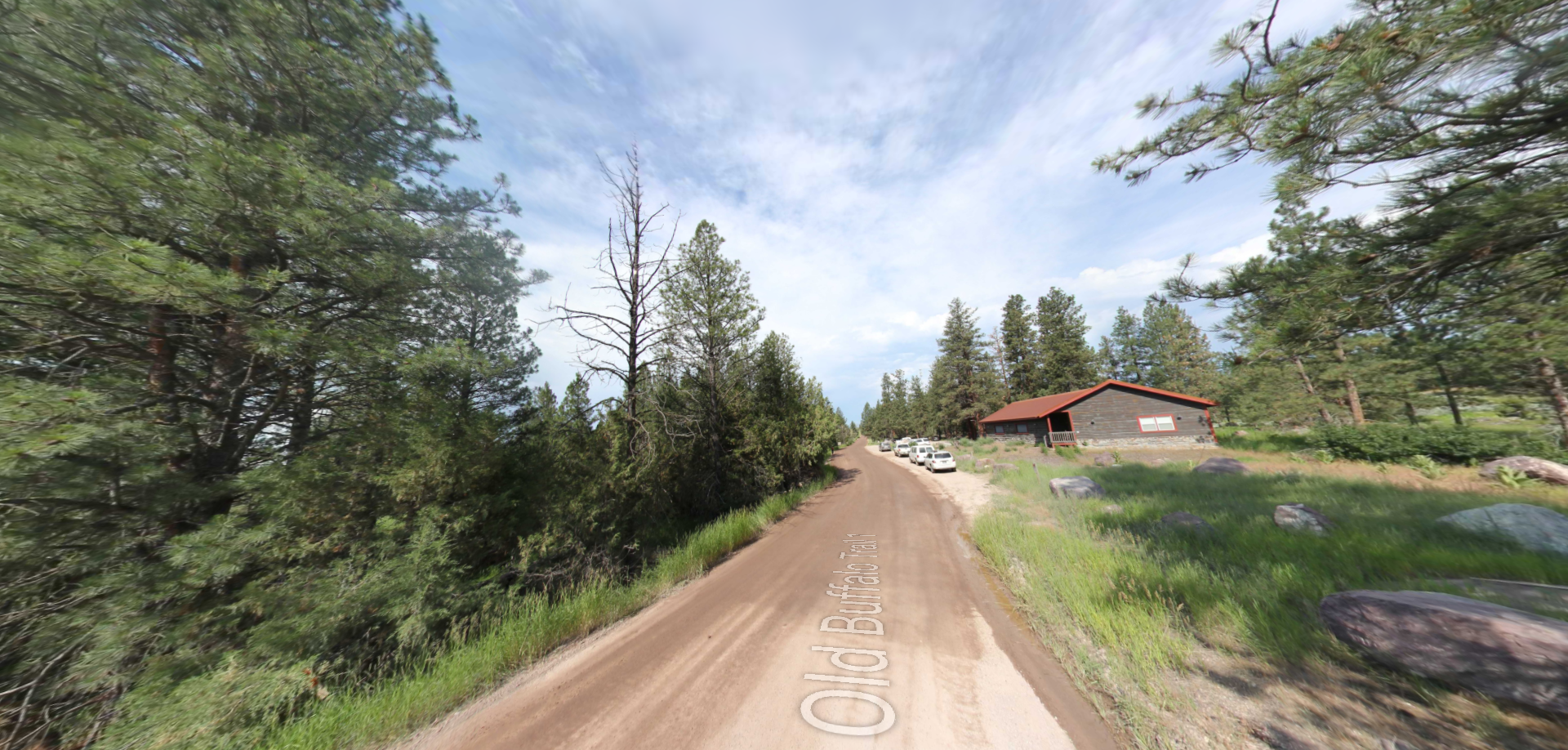


A trail starting at Hauser Dam and overlooking the Missouri River.