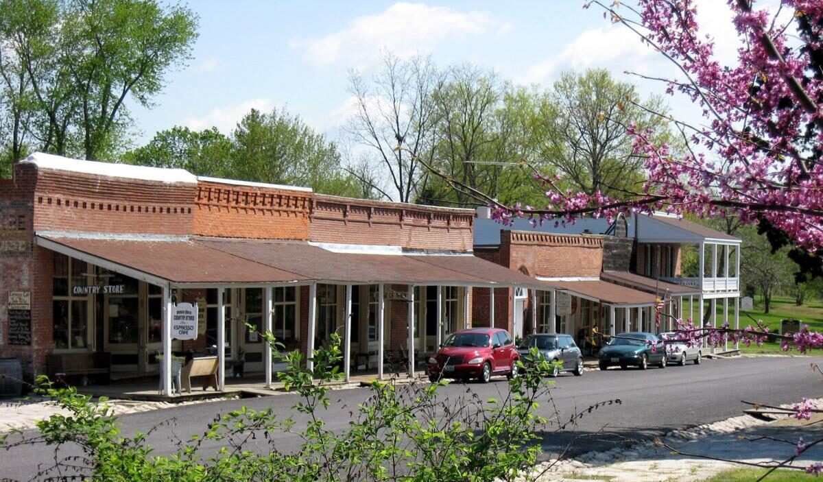
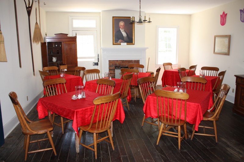
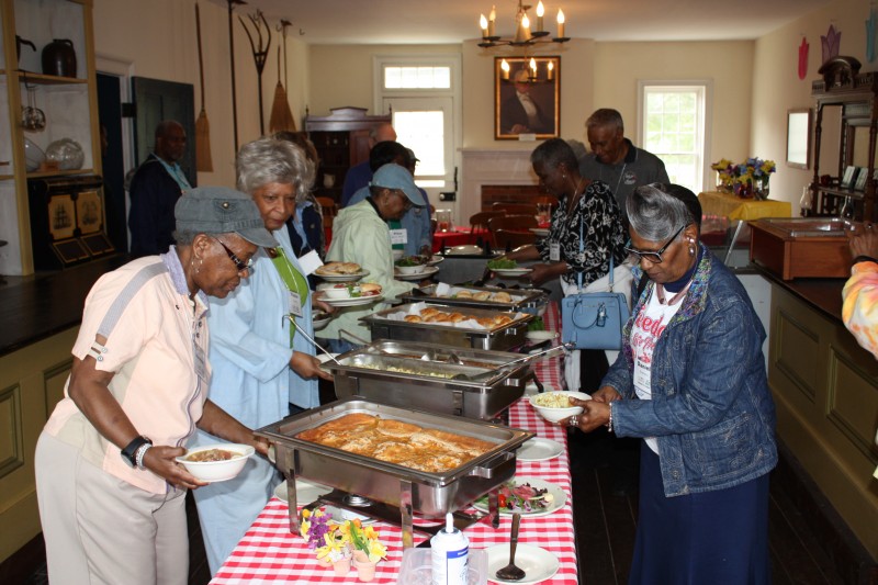
J. Huston Tavern
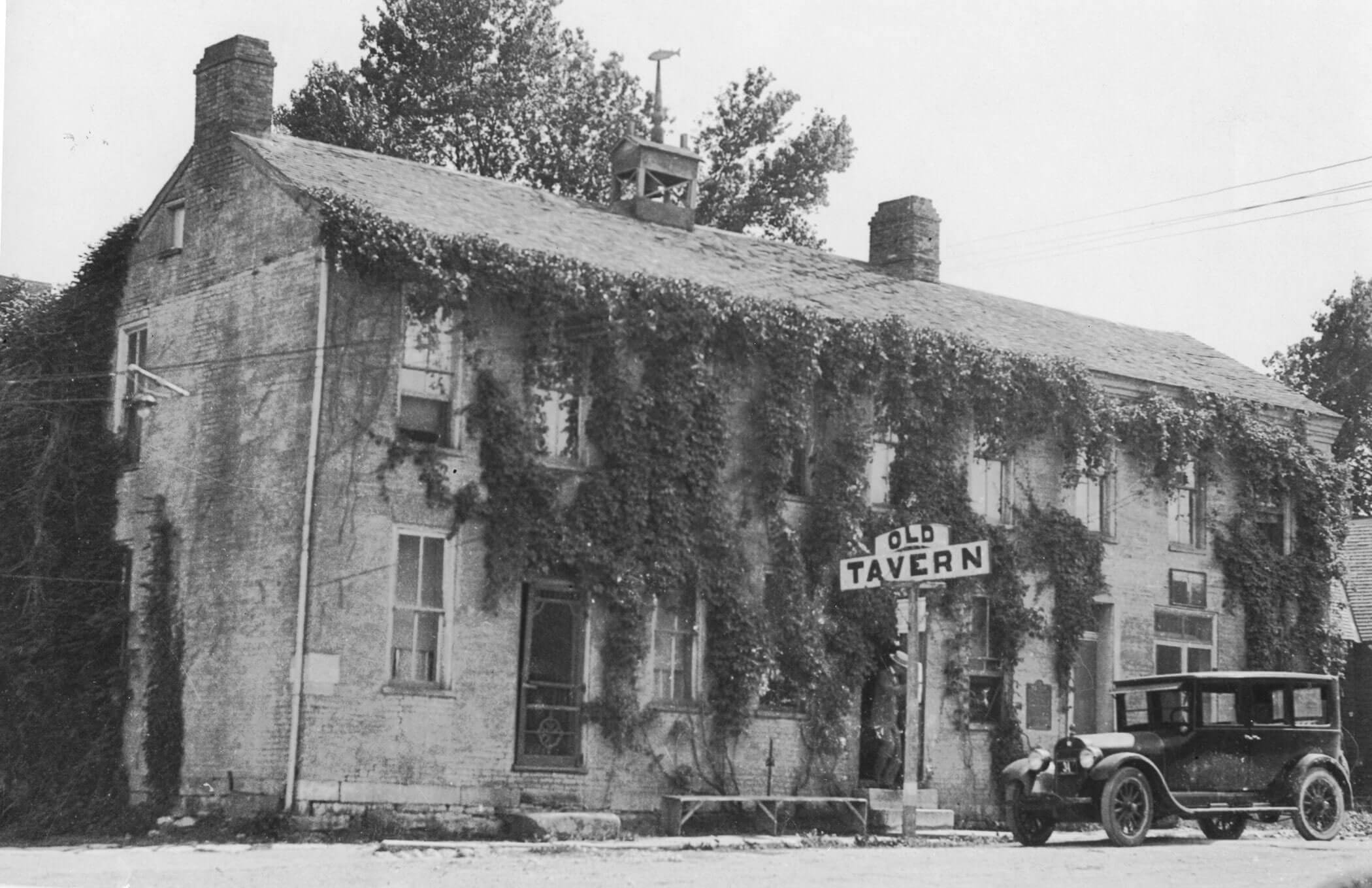
Dine in an antebellum atmosphere. The tavern was built in 1834 by Joseph Huston, Sr., an early Arrow Rock settler and civic leader from Virginia. Built as a four-room, two-story brick structure with a summer kitchen, it was originally the Huston family home. Thousands of westward bound travelers on the Missouri River and Santa Fe Trail passed by the tavern and Huston began offering lodging and meals to travelers and local citizens.By the mid-19th century, a mercantile store and ballroom had been added, followed by a large dining room and modern kitchen in 1955. Visitors today can enjoy a drink in the mercantile store, otherwise known as the Tap Room and dine in one of three dining rooms: The Sappington Parlor, the Huston Room and the Bingham Room.
The Tavern was the first acquisition by the Missouri State Park system in 1923. The tavern is the oldest continuously serving restaurant west of the Mississippi River with more than 180 years of continuous service to the public. It is the centerpiece of Arrow Rock State Historic Site and is listed in the National Register of Historic Places.
Voted the “Best Fried Chicken in the State” by Rural Missouri readers in 2011.

Distance Unit:
Distance Unit:


A breathtaking viewpoint overlooking the Trail of Tears State Park. Car access is available


A boat ramp that allows visitors to access the Trail of Tears


Here, nine Cherokee Indian groups braved harsh winter conditions while crossing the Mississippi River in 1838-1839, marking a sorrowful chapter in American history. The park also has: shaded picnic sites, hiking and horse trails, opportunities to fish…