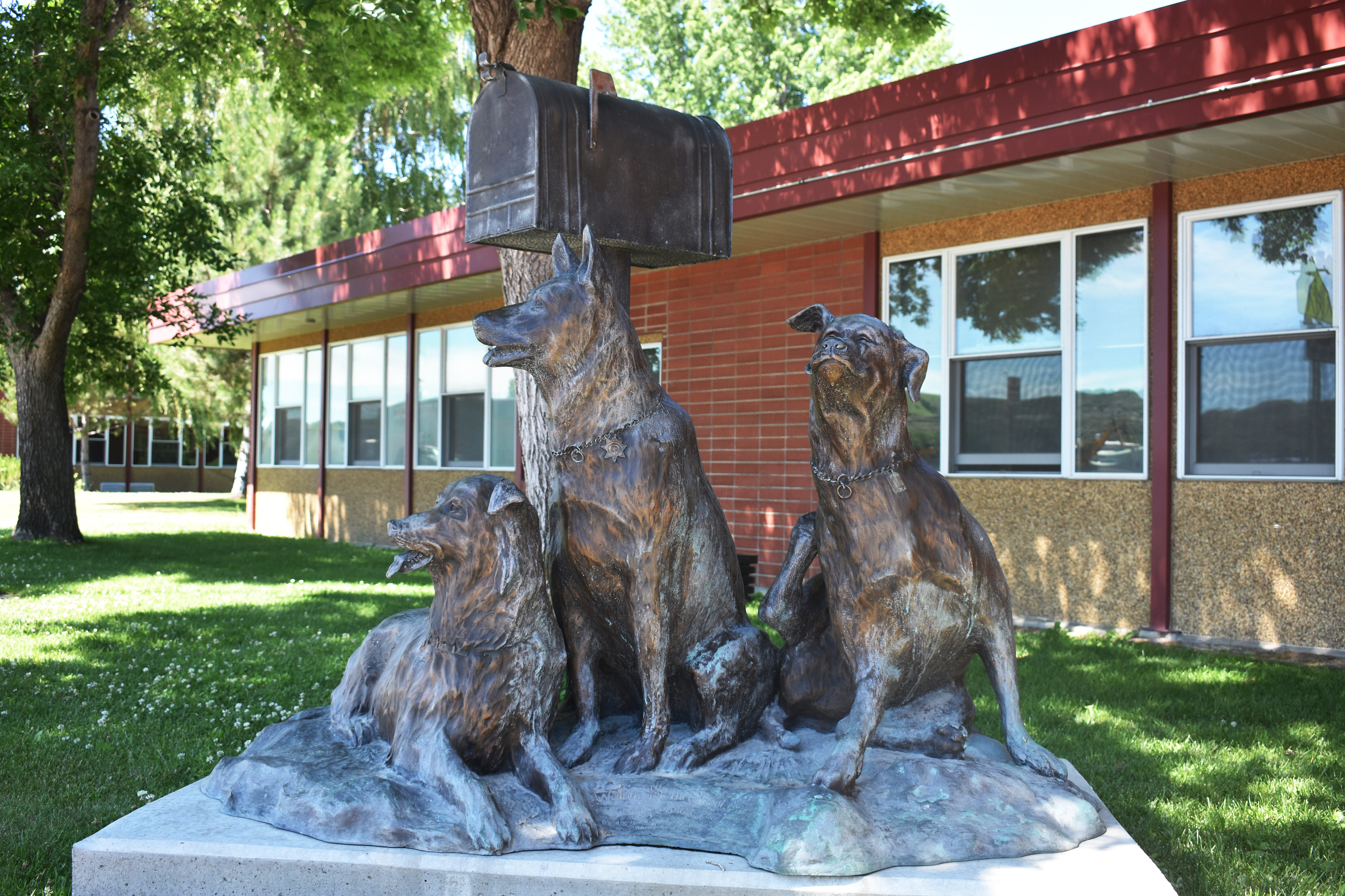
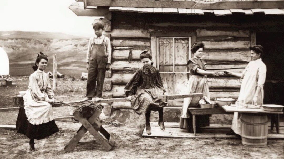
Prairie County Historic Sites of Interest Along the Trail
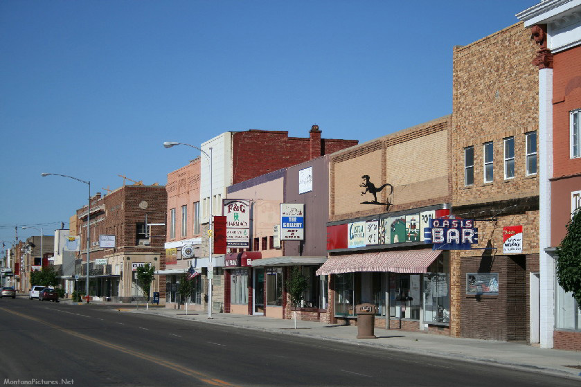
Terry is part of Montana’s rich cultural history and is located directly on the Lewis & Clark and Yellowstone trails with many different significant historical resources and landmarks along the way including Buffalo Hunter Graves, Milwaukee Bridge, home of pioneer photographer Evelyn Cameron, Terry Badlands Wilderness Study Area—Calypso Trail, a national registered landmark—Warren through truss bridge (Montana’s longest at 1,142 feet, built in 1944), Powder River Bridge, Prairie County Museum and Cameron Gallery, Kempton Motel, Evelyn Cameron Heritage-Rialto Theater, and the Grandey School Building.
Yellowstone Trail
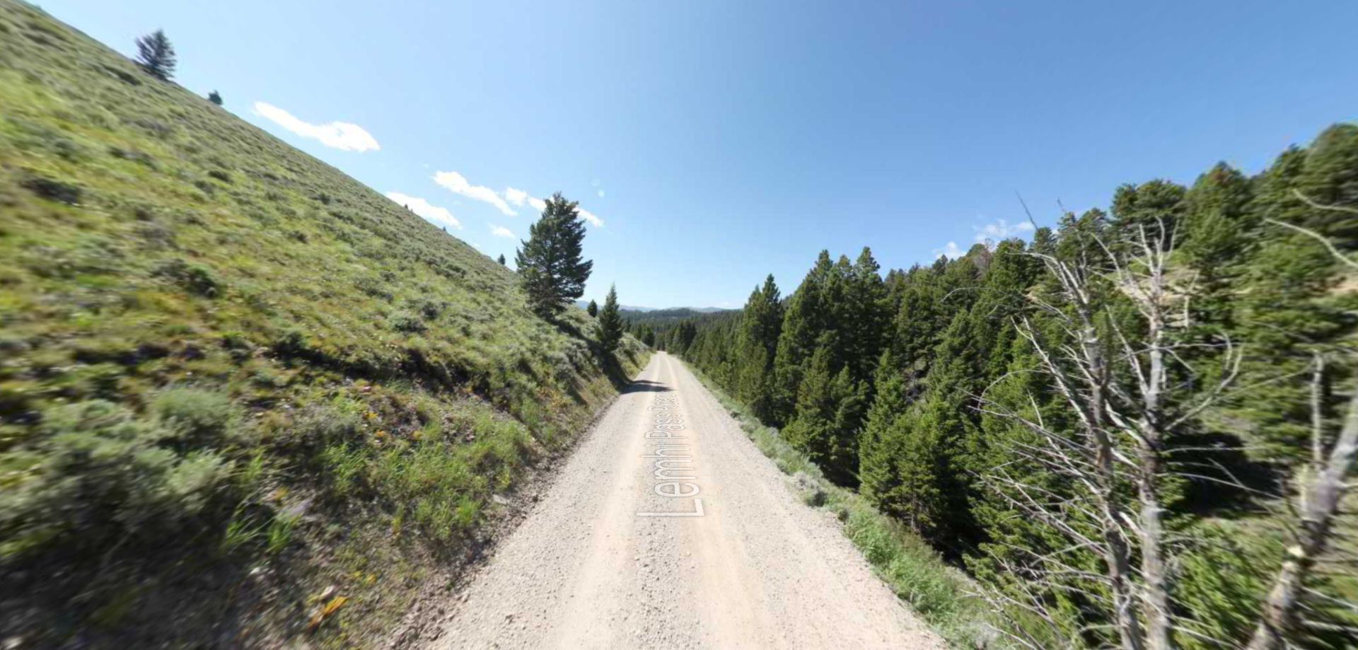
The Yellowstone Trail was the first transcontinental highway across the northern United States as transportation transitioned from railroad to auto travel. The Yellowstone Trail originally followed existing wagon roads, but changed over time as new roads were built. The Yellowstone Trail passes through Prairie County from Mildred to Fallon to Terry and westward to Miles City. Look for Yellowstone Trail markers to guide you through Prairie County and to visit some historic points of interest. Following are historic sites marked along the trail.
Captain Clark’s Camp
Captain William Clark’s party of the Lewis & Clark Expedition camped one-and-a-half miles below where the Powder River runs into the Yellowstone River on the left bank under a large cottonwood tree on July 30, 1806 on his way to rejoin Lewis at the mouth of the Yellowstone.
Terry Supply Station
The Terry Supply Station was established June 7, 1876 to supply military operations in the area. Supplies were transferred from Stanley’s Stockade at Glendive by Captain Marsh on the steamer “Far West”.
Private George of the 7th Cavalry was badly shot during the Battle of the Little Big Horn on Reno’s Hill. He died on July 3, 1876 on the Far West steamer from those injuries. He was buried by the river bank. There is a gravesite for Private George about seven eighths of a mile northwest of this sign.
Scout Wesley Brockmeyer was killed near the mouth of the Powder River on August 2, 1876 in a skirmish between US Infantry and Sioux and Cheyenne warriors. The infantry eventually drove off the warriors with a 12-pound cannon.
Father DeSmet-Sitting Bull Council
Father DeSmet, accompanied by Trader Galpin and his wife, traveled overland from the Missouri River to meet the Hunkpapa Sioux at the Sitting Bull Council on June 20, 1868 for a peace conference. Runners from Father DeSmet’s party were sent ahead to Chief Sitting Bull’s camp and Sitting Bull sent his men back to let Father DeSmet know he would be welcomed. Father DeSmet met at Sitting Bull’s camp about four miles above the mouth of the Powder River, near where Camp Creek empties into the Yellowstone. The camp was made up of 500-600 tipis, 4,000-5,000 Sioux Indians, and thousands of horses. DeSmet was not able to convince Sitting Bull to sign a peace treaty, but the council was considered a success because Sitting Bull did agree to allow some white travel and settlement.
Powder River Stage Station
The Powder River Stage Station was one of the stops on the Fort Keogh-Bismarck stage coach route. It operated from 1878 until 1883 when the railroad became the primary means of transportation to Miles City.
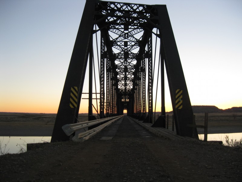
Milwaukee Railroad
Work on the 225-mile eastern Montana section of the Milwaukee Railroad took place from 1907-1908. The Milwaukee Railroad ran through a region of river and creek valleys, making for the building of many bridges. The Yellowstone River was crossed three times between Terry and Miles City. The first crossing is five miles West of Terry, the second 25 miles further west at the Tusler Crossing, and the third crossing was five miles west of Miles City. Supplies to build the Milwaukee Railroad first came by rail on the Northern Pacific tracks, then across the Yellowstone River by boat, ferry, and cable. The Old Milwaukee Railroad Bridge is about three miles west on Milwaukee Road.
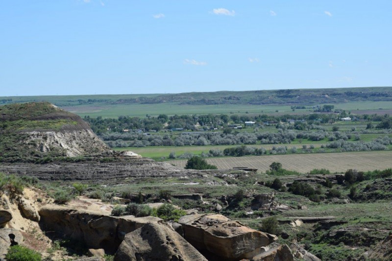
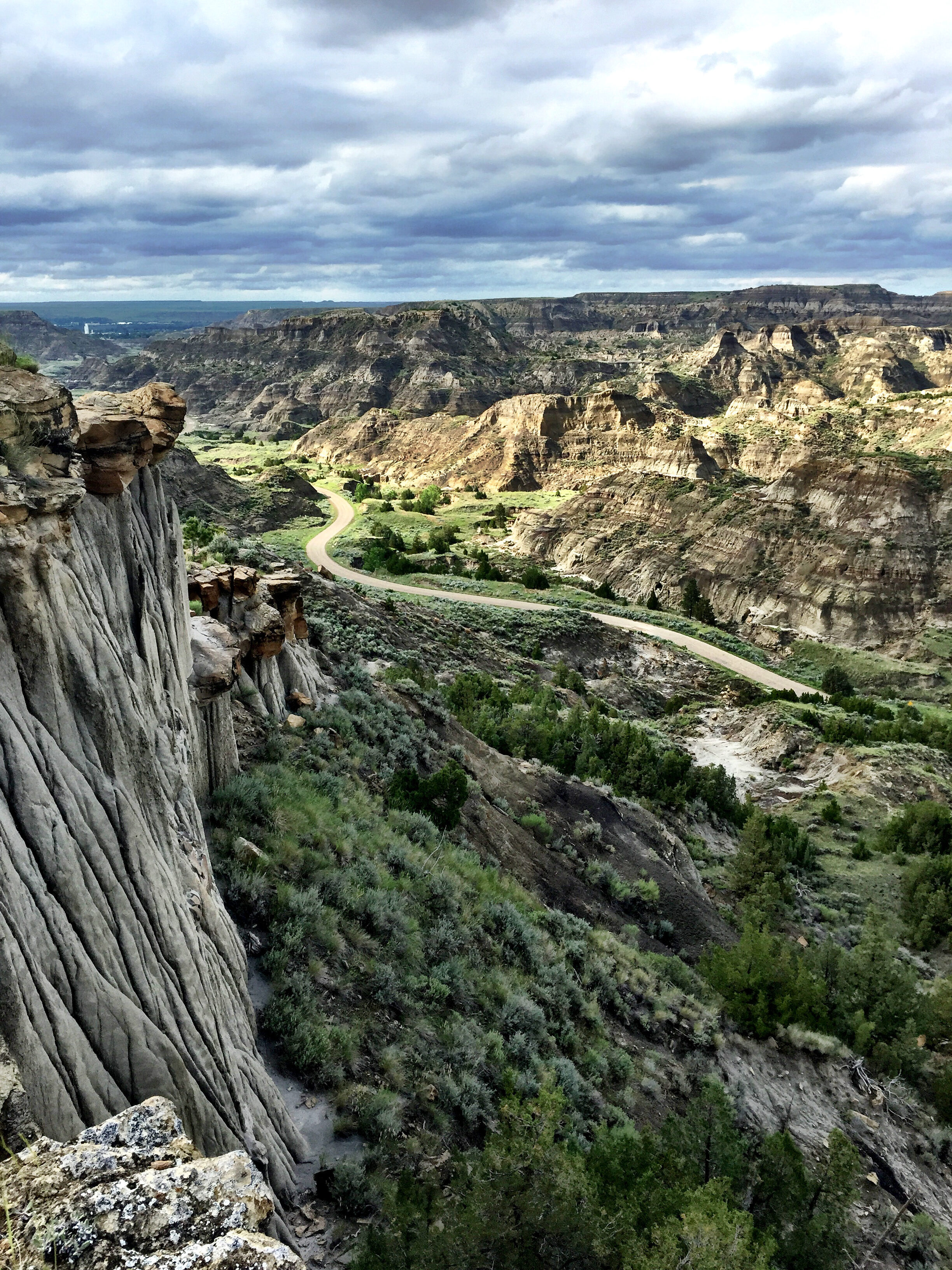
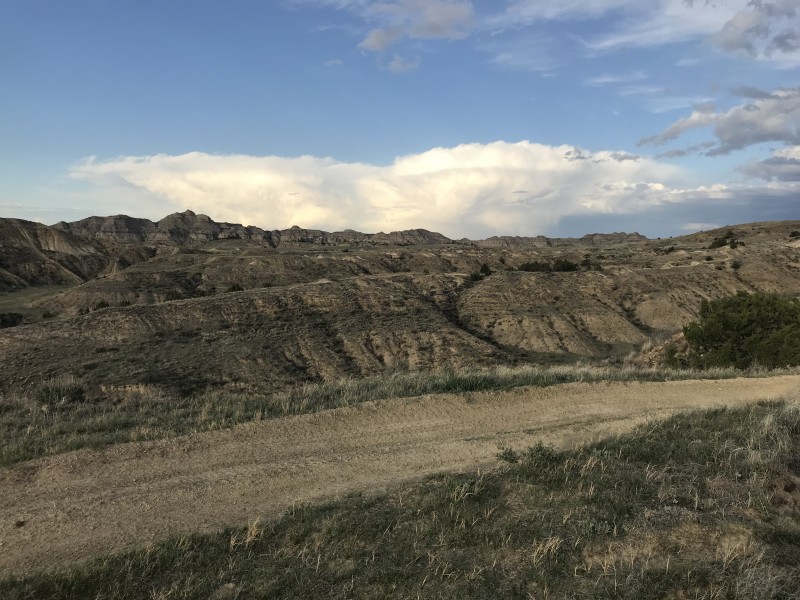
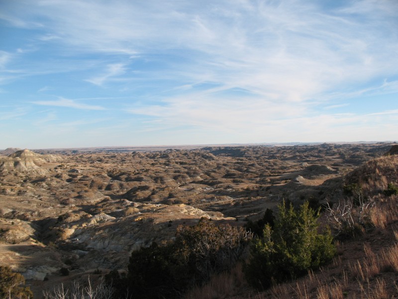
Calypso Trail
Calypso Trail was a stop on the Milwaukee Railroad. The community had a school and a ferry crossing in addition to the railroad section houses. An interpretive sign reached by crossing the Old Milwaukee Railroad Bridge marks the beginning of the Calypso Trail. The rustic five-and-a-half mile trail leads to the scenic Terry Badlands.
Distance Unit:
Distance Unit: