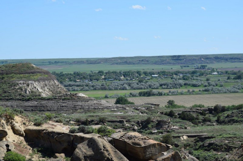
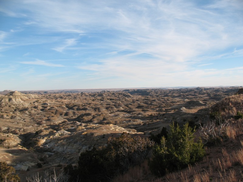
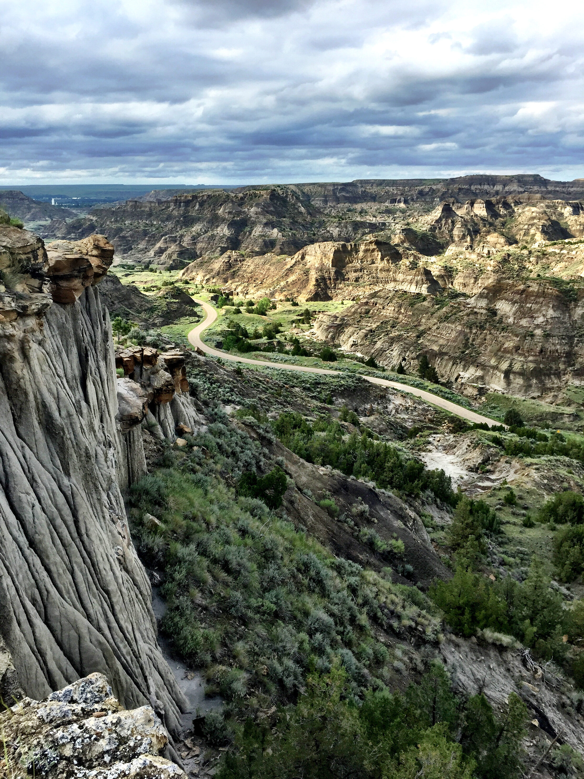
Intake Fishing Access Site, Montana
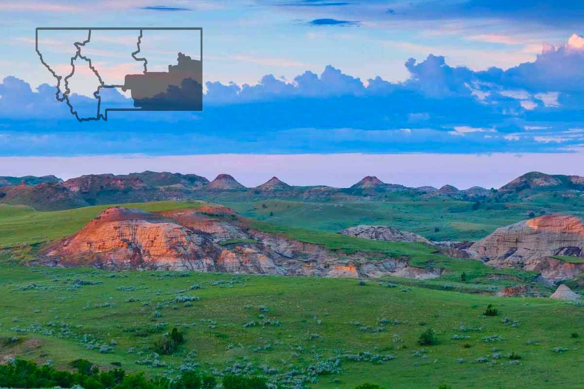
Intake Fishing Access Site, located 15 miles north of Glendive on the Yellowstone River at the Intake Diversion Dam, is the premier spot in Montana, perhaps the nation, for catching the unique paddlefish, leading to Glendive’s claim as “Paddlefish Capital of the World.” During the spring runoff each year, hordes of paddlefish migrate out of the Missouri River and up the Yellowstone River where they gather below the diversion dam to spawn.
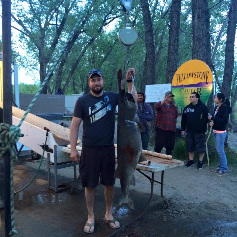
Unique to Glendive and the Intake site is the Yellowstone Caviar Program. The program, run by the Glendive Chamber of Commerce in conjunction with Montana Fish, Wildlife and Parks, uses the sale of paddlefish caviar—considered a high-quality caviar by connoisseurs—to fund a grant program available to Eastern Montana communities. During the paddlefish season, the program maintains a fish cleaning station at Intake which provides free cleaning and processing of all harvested paddlefish in exchange for the roe. They also maintain a concession stand at the site during the paddlefish season.
Camping is available at Intake. Each campsite has a picnic table and fire ring. Potable water is available from mid-May through the end of September. Vault toilets are on site.
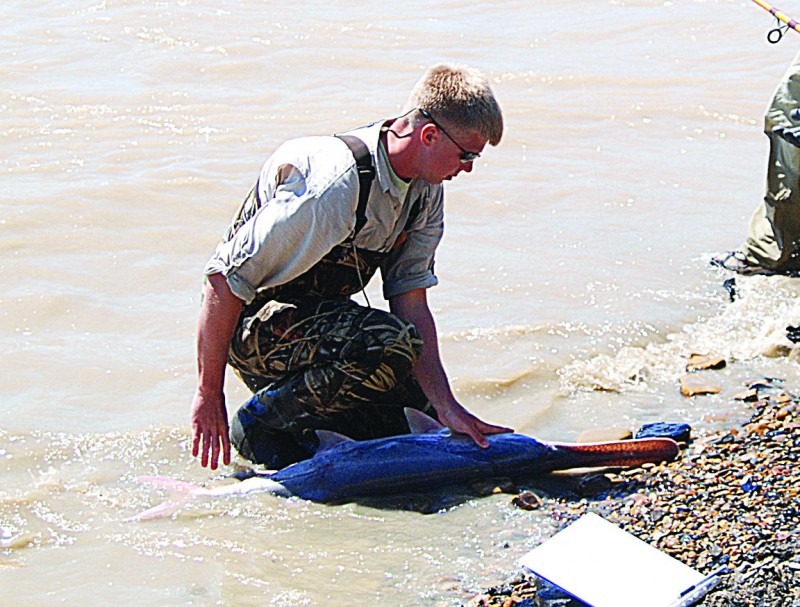
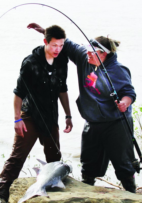
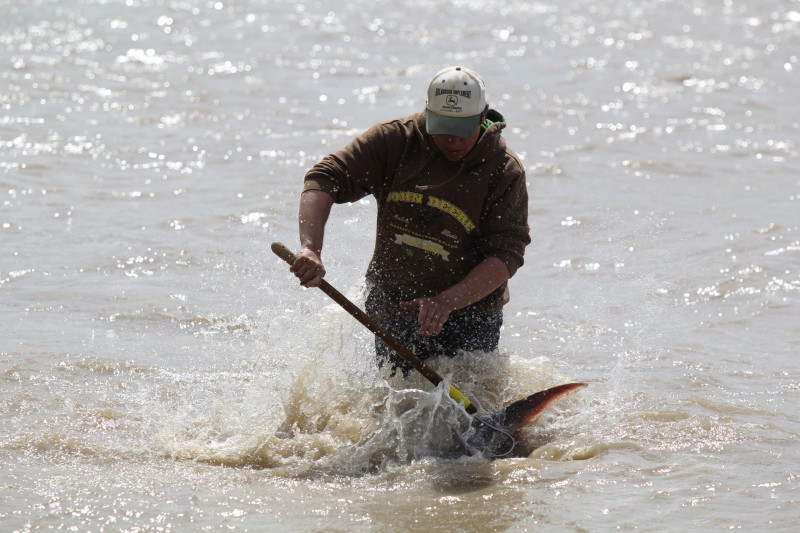
Paddlefishing at Intake is done from the bank below the diversion dam. It can get crowded along the banks at the height of the season, so it’s best to get there early on harvest days to stake out a spot.
Fishing for paddlefish is a unique challenge because as filter feeders, they cannot be caught with standard fishing tackle. They must be “snagged” with a special rod-and-reel rig, which are available for purchase in several Glendive stores (cost from $25-50). Fishing for paddlefish requires patience, endurance and, if you happen to snag one, strength. Paddlefish taken at Intake usually weigh about 100 pounds, and the fish can grow up to 150 pounds or more.

Distance Unit:
Distance Unit:


The Blackfoot River, sometimes called the Big Blackfoot River to distinguish it from the Little Blackfoot River, is a snow-fed and spring-fed river in western Montana.


A trail starting at Hauser Dam and overlooking the Missouri River.