Page Feedback

Clark’s Lookout State Park
Clark’s Lookout State Park
State Park
25, Clarks Lookout Road
Dillon Montana 59725

Information

406..834.3413
None
lat: 45.2348801 long: -112.6335723

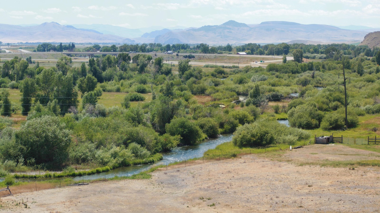
Clark’s Lookout State Park is located above the Beaverhead River. It is a place that provided the Lewis and Clark Expedition with a view of the route ahead. On August 13, 1805, Captain William Clark climbed this hill overlooking the Beaverhead River to get a sense of his surroundings and document the location.

It is situated on 8.2 acres of land at 5,118 feet.

Clark’s Lookout State Park is located just one mile north of Dillon off Highway 91. Near the paved parking lot, interpretive signs explain navigational methods used by the expedition. Make the short walk to the top of the lookout and you’ll discover a magnificent view of the Beaverhead Valley and a monument showing the three compass readings that Captain Clark took on that day.

Nearby Attractions

Distance Unit:

Nearby Trails

Distance Unit:

Imnamatoon Road

lat: 46.59337 long: -114.61484
Weight Station Fishing Access

lat: 46.8788874 long: -113.8525126
Hole in the Wall to Judith Landing

lat: 47.7400888 long: -109.6276312
Lemhi Pass Road

lat: 44.9579032 long: -113.3652553
Nine Mile to Mcnamara

lat: 46.9502198 long: -113.3787584
Travelers Rest State Park

lat: 46.753308 long: -114.0899468
Hauser Hiking Trail

A trail starting at Hauser Dam and overlooking the Missouri River.

lat: 46.765794328365 long: -111.88708305359
Old Buffalo Trail 1

lat: 46.9547545 long: -113.5255417
Decision Point

lat: 47.9249036 long: -110.4985534
Upper Hauser Lake

lat: 46.6822743 long: -111.8215701
South Shore Trail

lat: 47.534344 long: -111.2047707
Buffalo Jump

lat: 47.4796208 long: -111.5247388
Send Feedback

Instagram Feed