Beaverhead Chamber of Commerce & Agriculture and Convention & Visitors Bureau
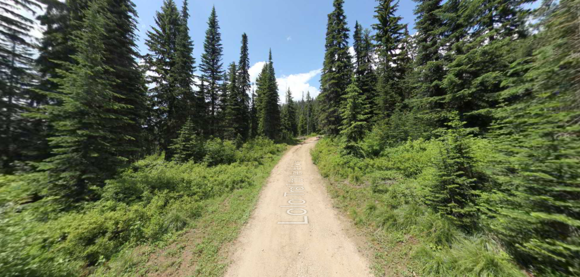
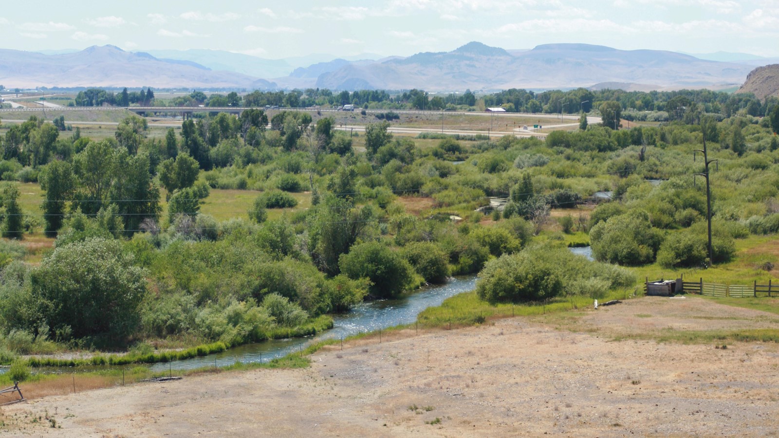
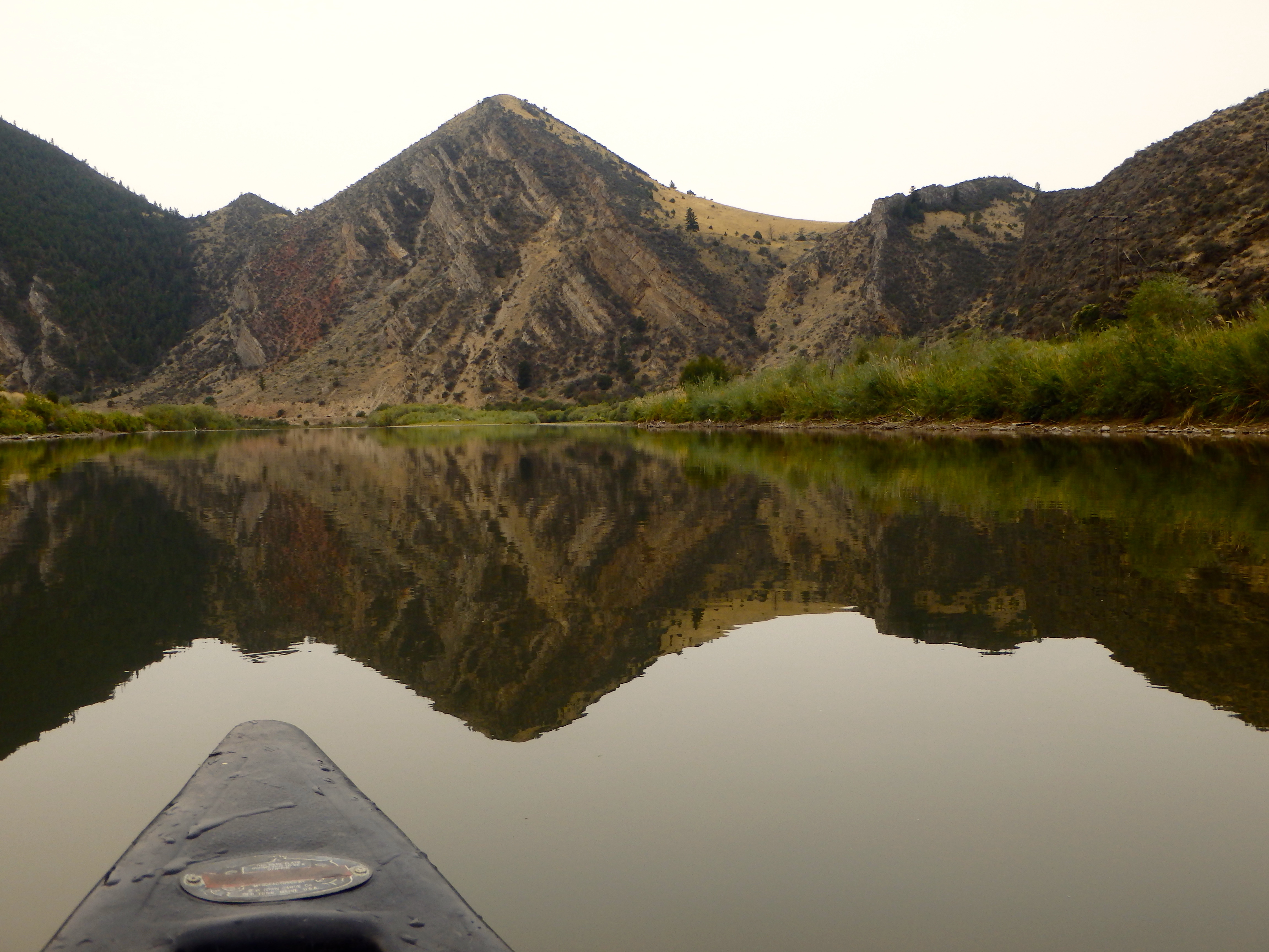
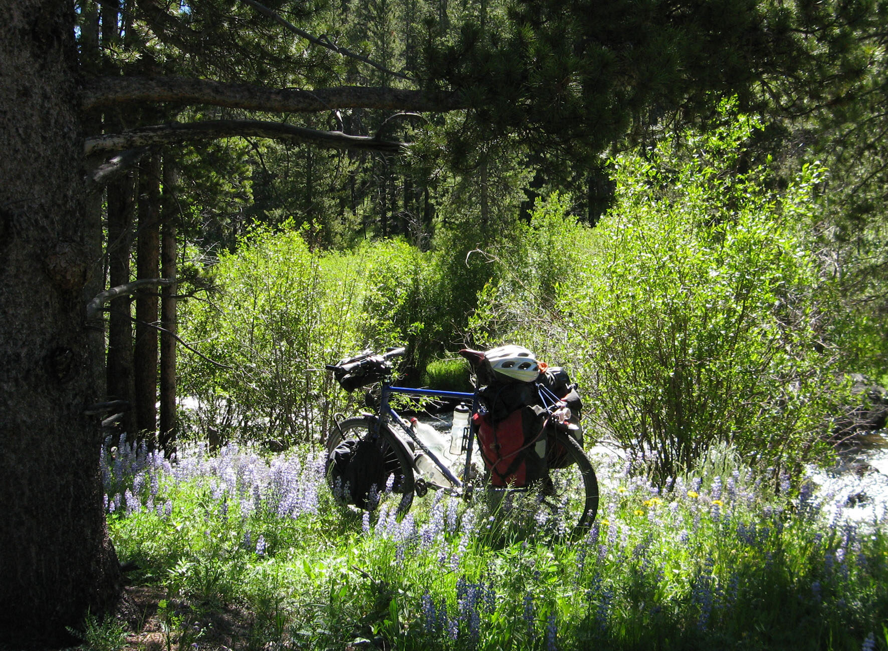
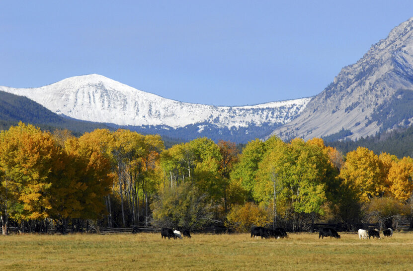
Situated in Western Montana, Beaverhead County lies along the Beaverhead River, which flows into the Jefferson River and ultimately into the Great Missouri River. Beaverhead County is home to Clark’s Lookout State Park, where William Clark climbed up on August 13, 1805 to get his bearings for the next leg of their expedition.
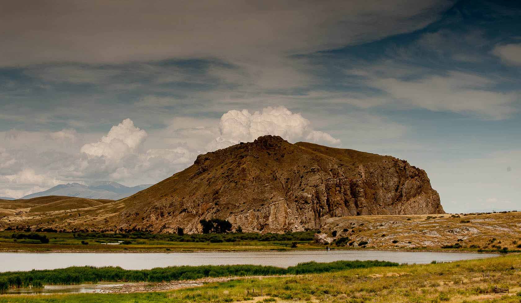
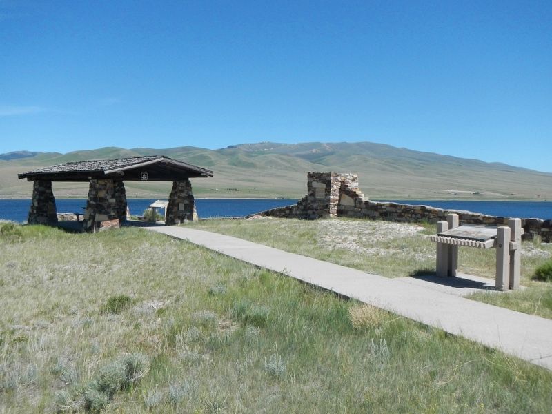
Just south of Dillon is Clark Canyon Reservoir, where Camp Fortunate lies. There is an historical marker, which indicates where the expedition met with Sacajawea’s Chieftain brother to trade and learn important navigational information.
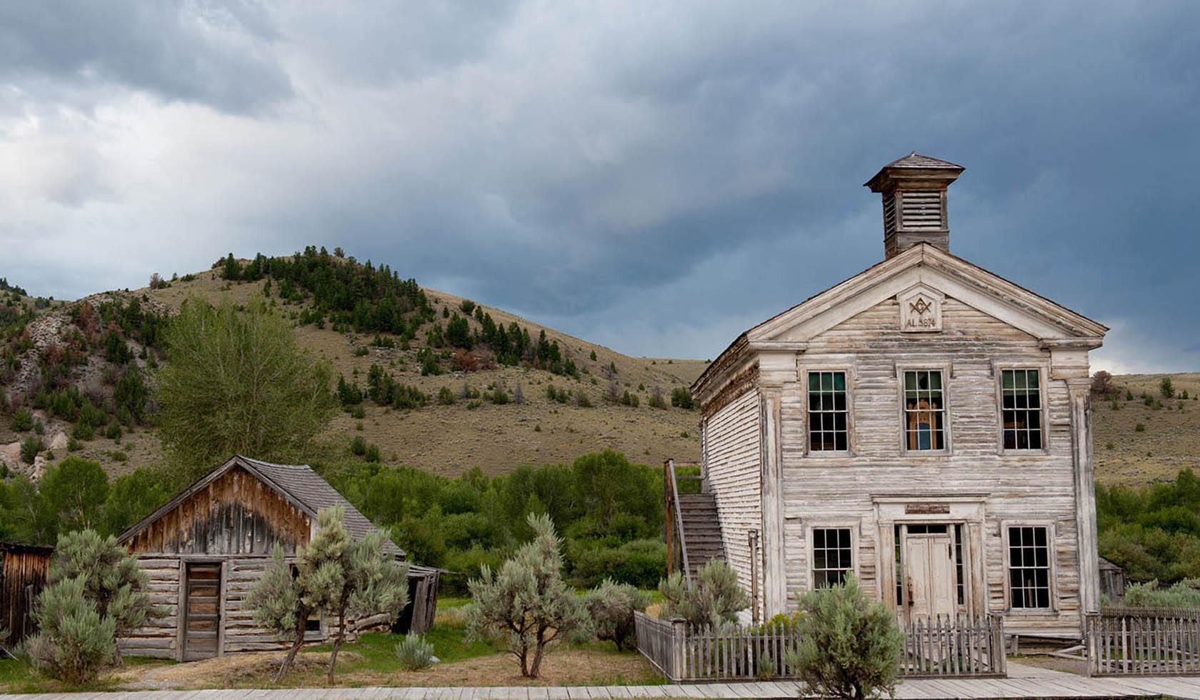
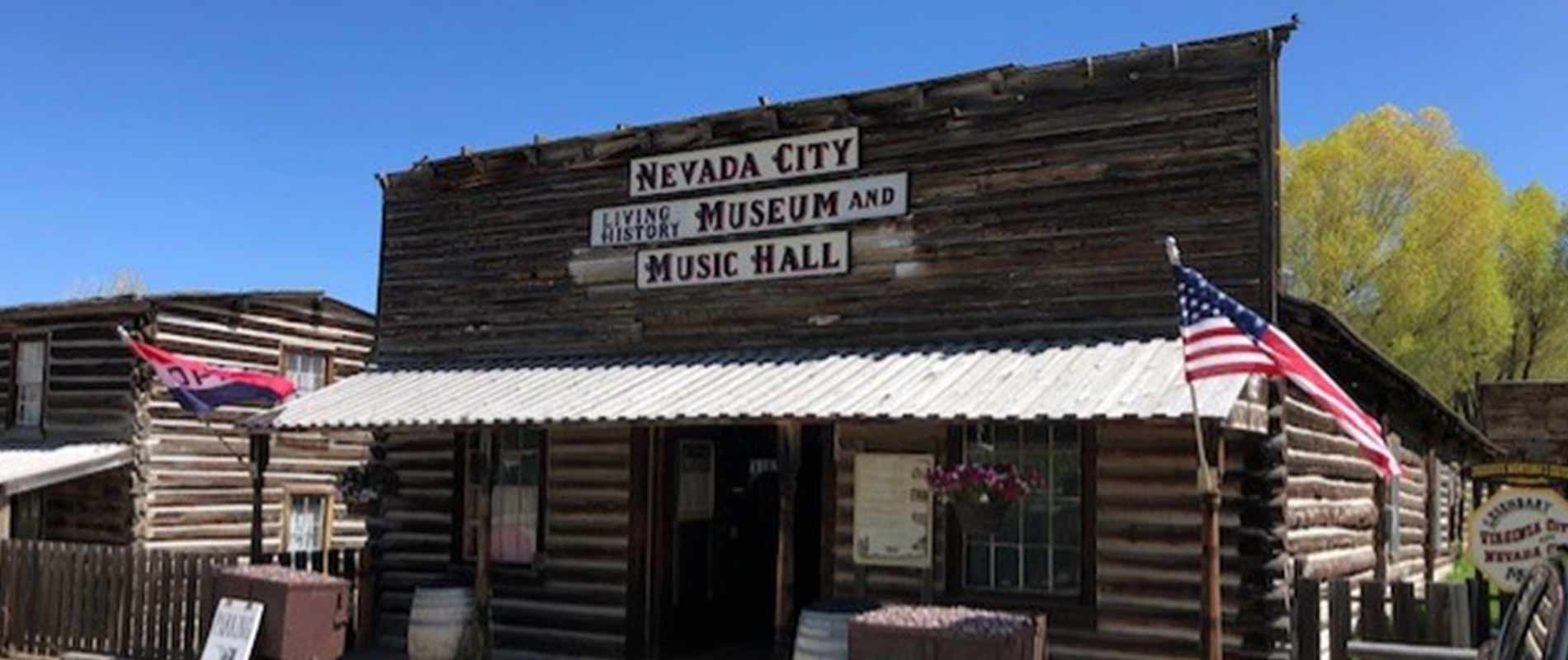
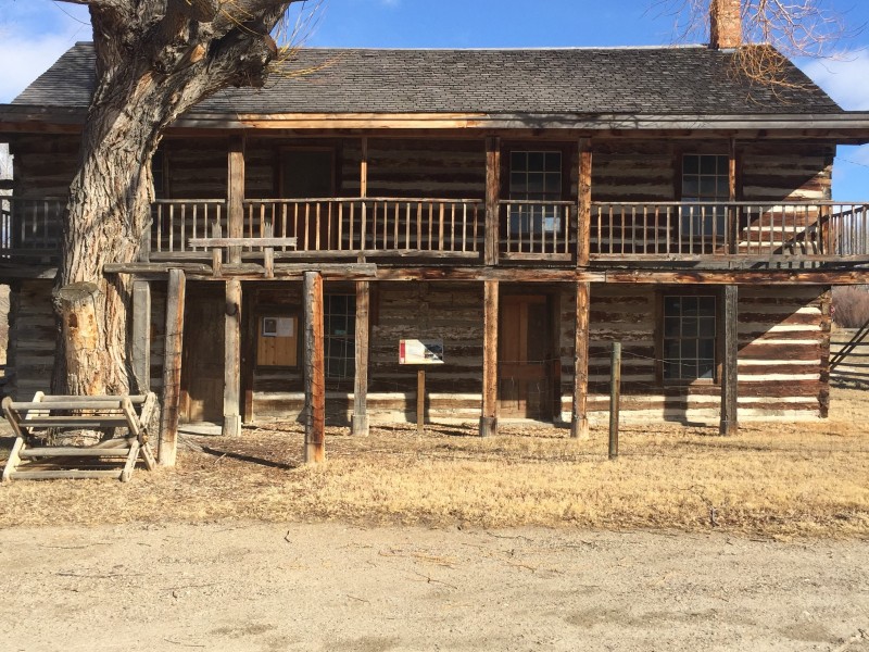
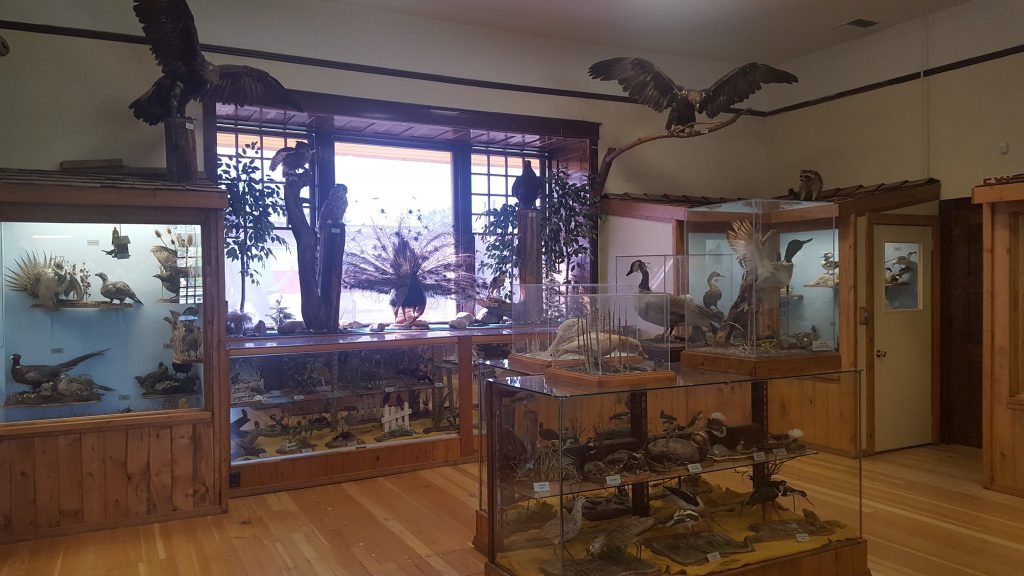
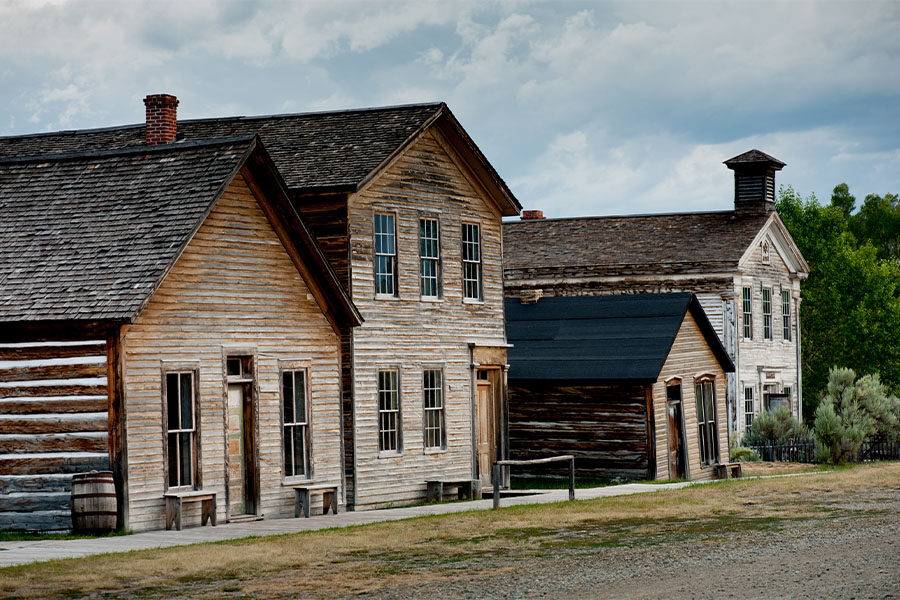
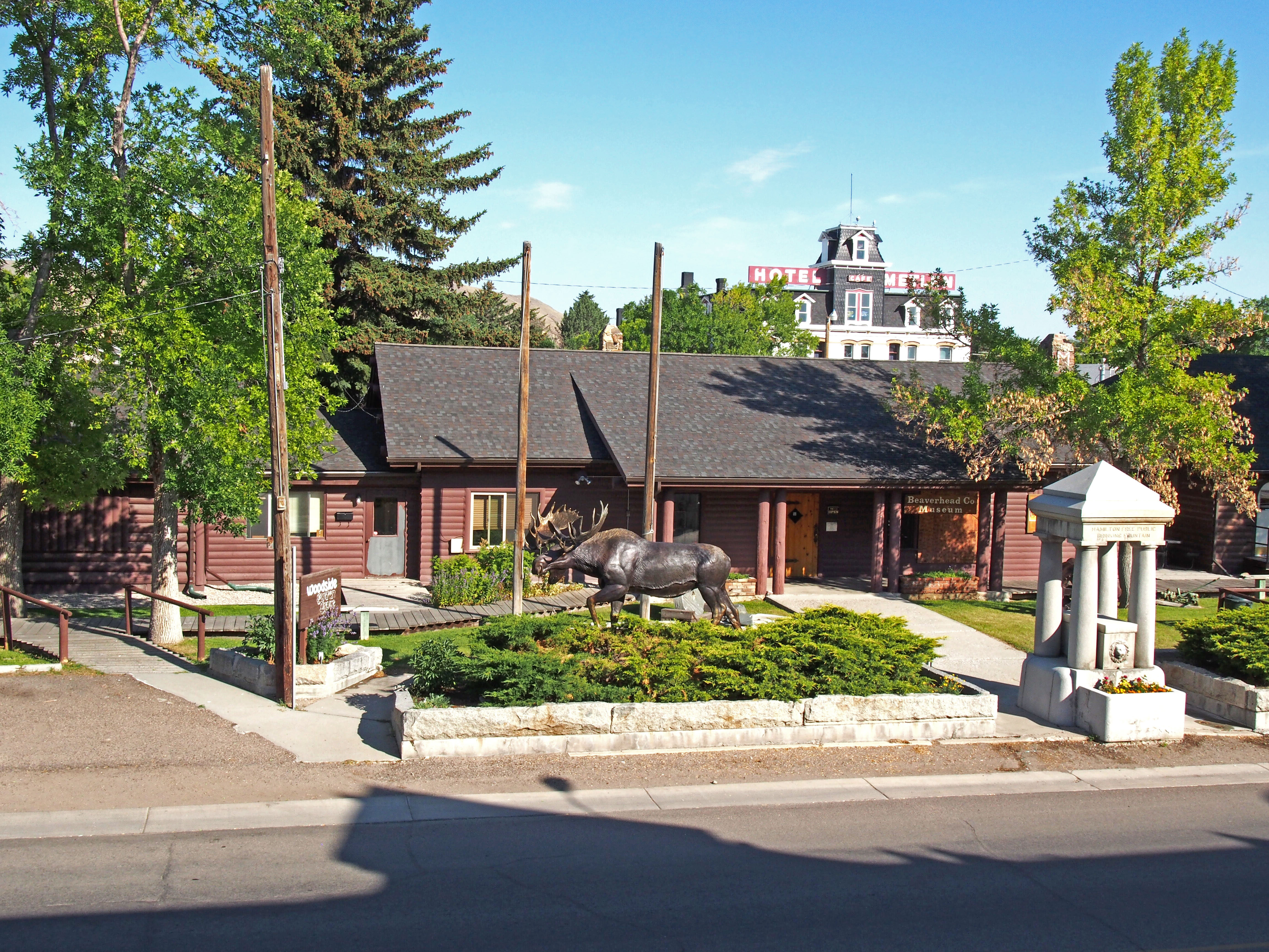
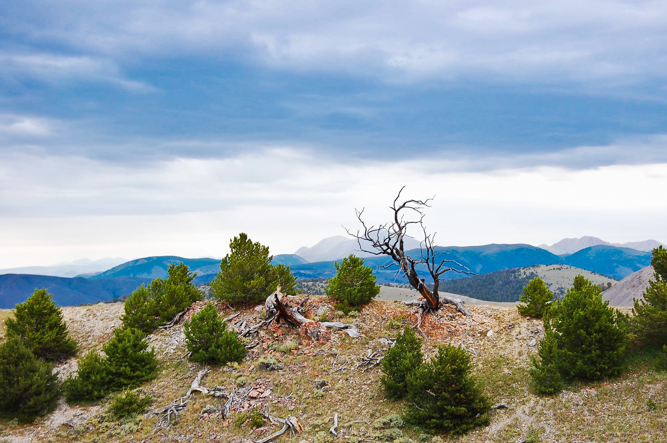
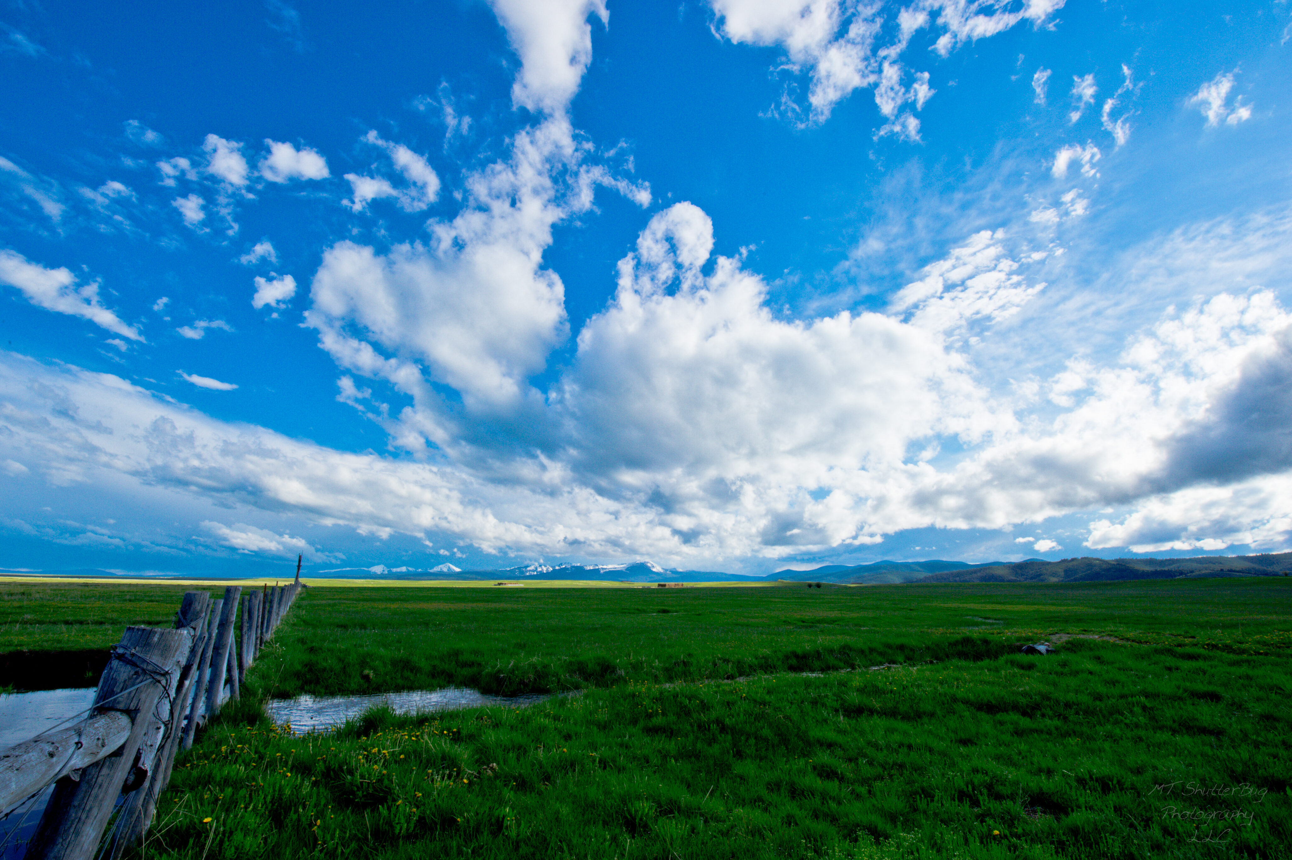
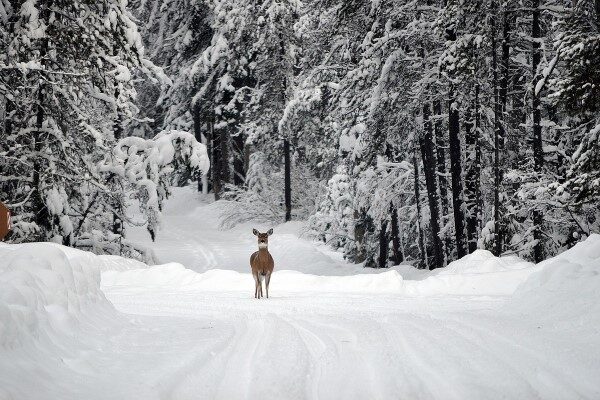
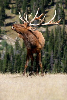
Come visit Beaverhead County or Dillon Montana! In addition to the Lewis & Clark Trail, there is the Beaverhead County Museum, Bannack State Park, Coolidge Ghost Town, Crystal Park, Pioneer Mountain National Scenic Byway, Canyon Creek Charcoal Kilns, Red Rock Lakes National Wildlife Refuge, Big Hole National Battlefield, Clark Canyon Reservoir Recreational Area, and the Dillon Historical Walking Tour.
Stop by the Beaverhead County Museum today to learn more about all of the great offerings in Beaverhead County.
Distance Unit:
Distance Unit: