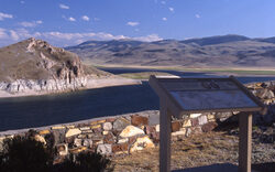
Camp Fortunate Overlook
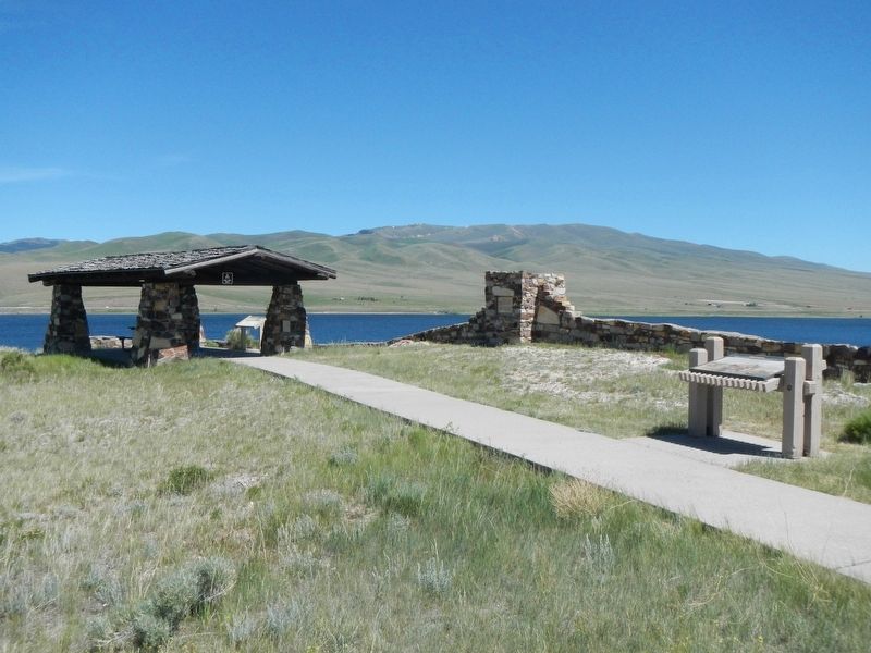
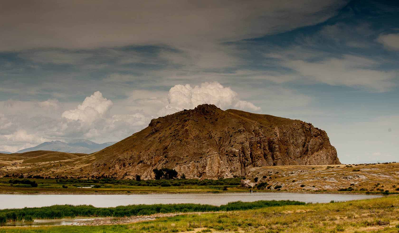
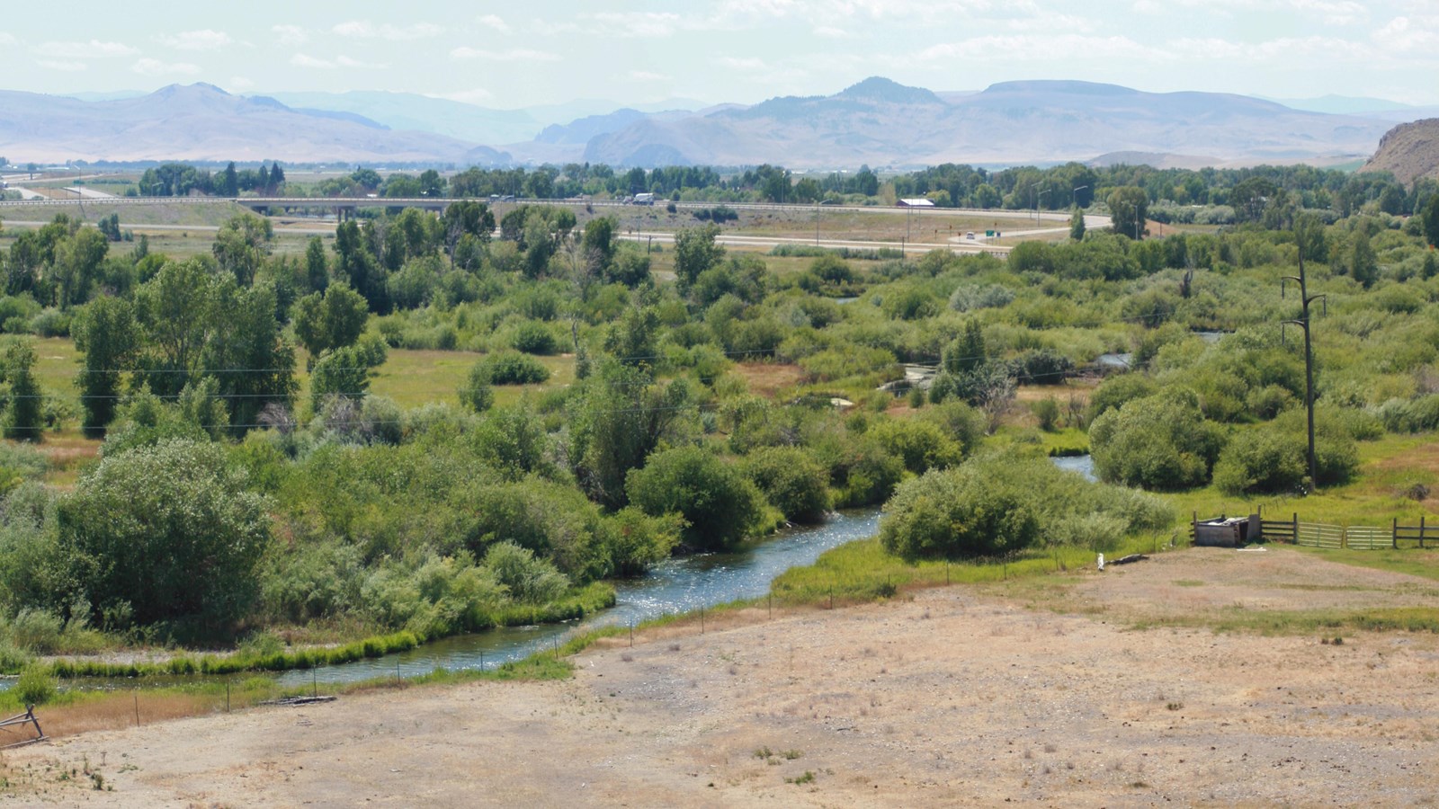
Located at Clark Canyon Reservoir, Camp Fortunate Overlook is considered as one of the most notable spots of great historic interest along the Lewis and Clark Trail. The camp was established in 1805 near present day Dillon, Beaverhead County in Montana and its name “fortunate” refers to actual fortunate events that took place here! At Camp Fortunate, the Lewis and Clark expedition met the Limhi Shoshoni Tribe – it was here where Sacagawea was reunited with her people, recognizing the Shoshone chief as her brother who had been taken to prison at the same time with her, but had managed to escape. The Indians were impressed with the men and the expedition, deciding to provide the horses and supplies needed for the next leg of the journey. Now, the site is under the Clark Canyon Reservoir and it can be found by driving 20 miles south of Dillon on I-15, then taking the Clark Canyon Dam exit onto MT Highway 324.
The manmade lake created by the Clark Canyon Dam is unquestionably worth seeing here, along with wonderful views from the overlook itself. Located in the Clark Canyon Dam, it can be a great spot for a fun family time – whether it is camping, fishing or picnicking!
Distance Unit:
Distance Unit: