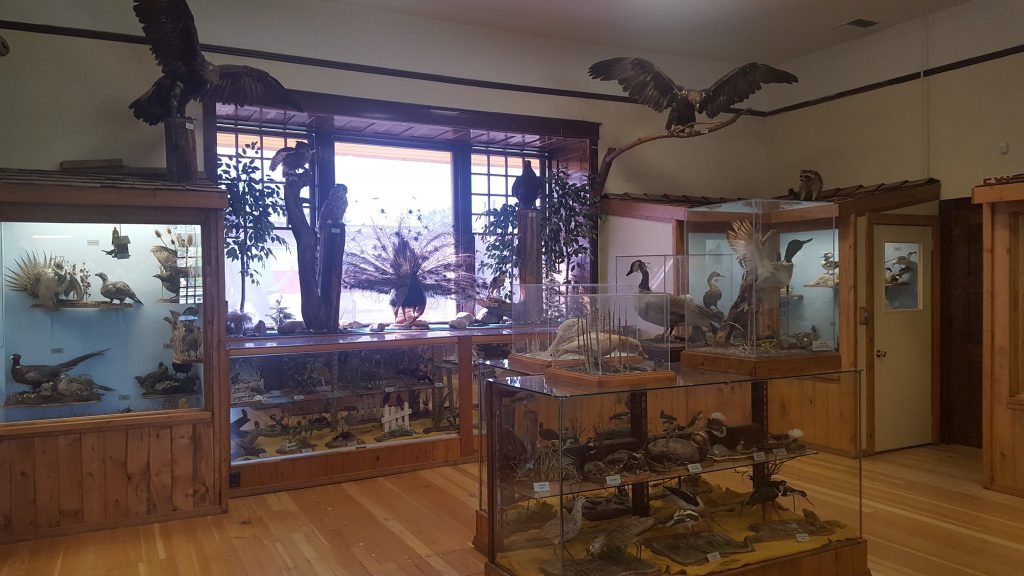
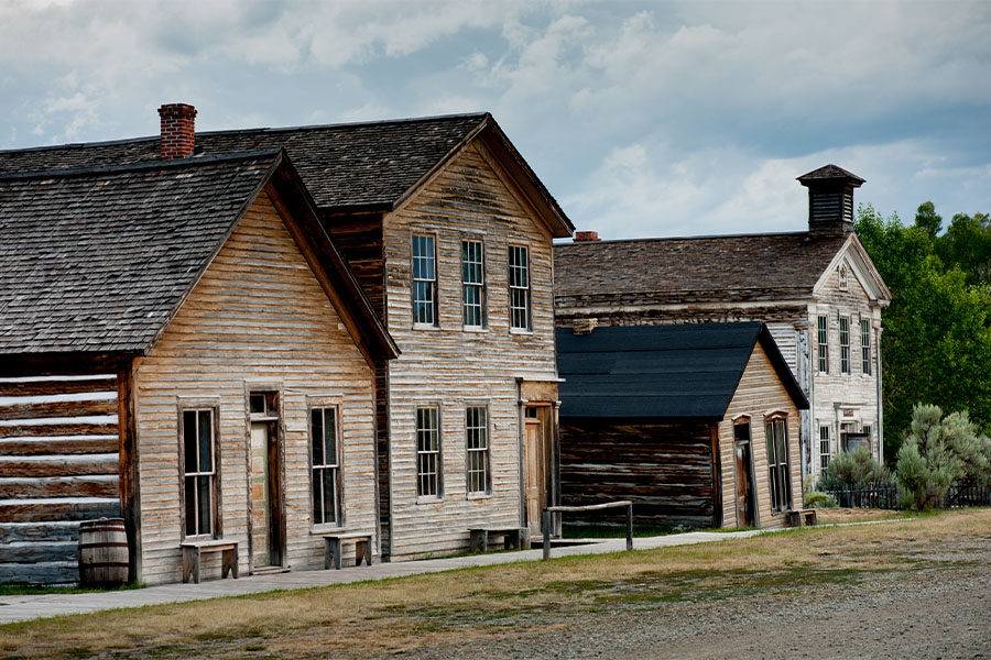
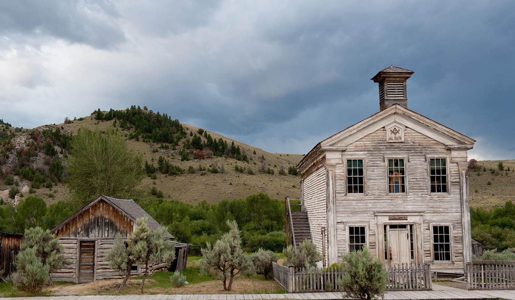
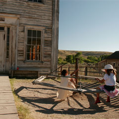
Bannack State Park
See the “Old West” come alive again at the site of Montana’s first major gold discovery in 1862 and Montana’s first territorial capital.
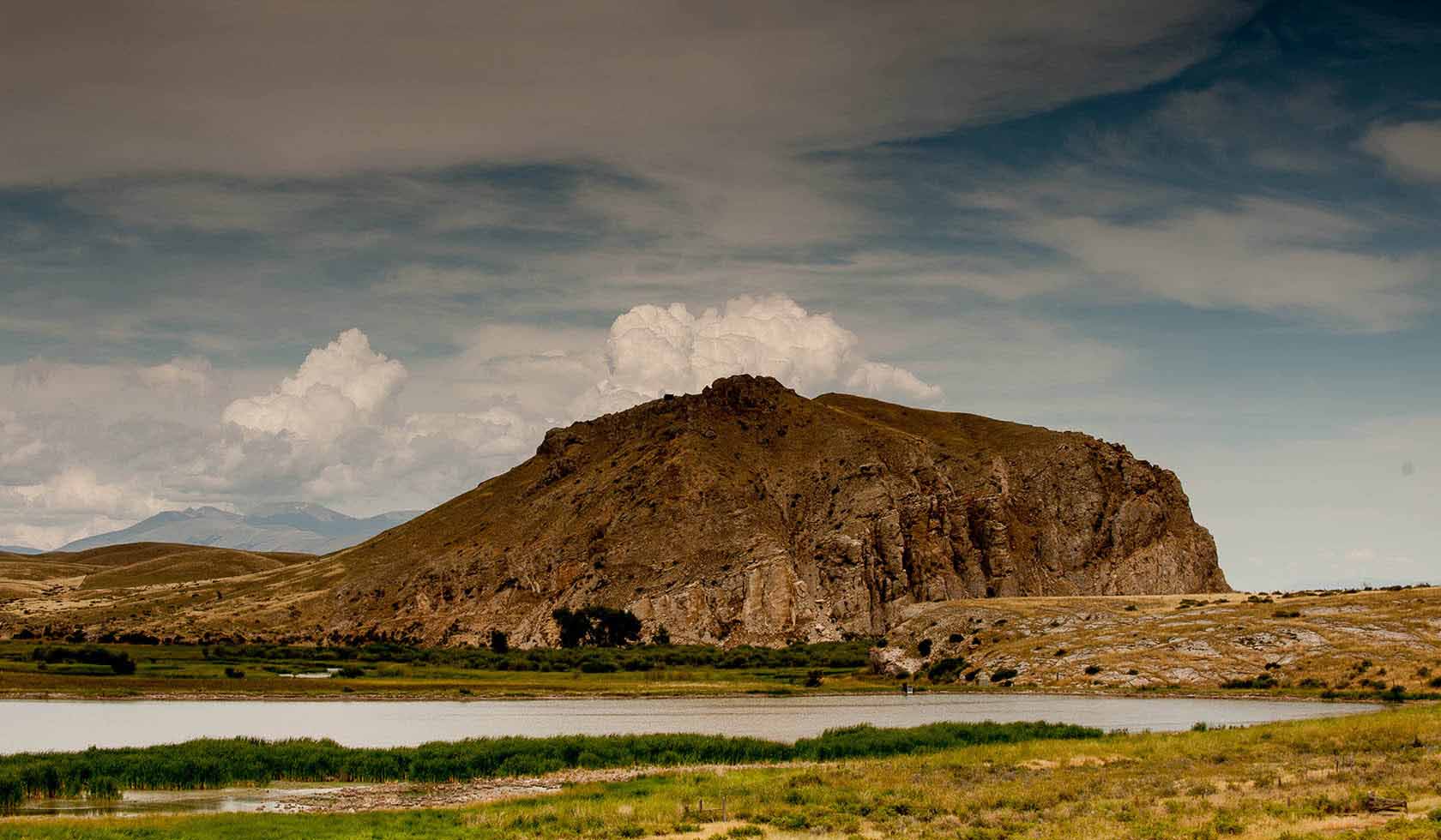
Bannack State Park is a National Historic Landmark and the site of Montana’s first major gold discovery on July 28, 1862. This strike set off a massive gold rush that swelled Bannack’s population to over 3,000 by 1863. As the value of gold steadily dwindled, Bannack’s bustling population was slowly lost. Over 50 buildings line Main Street; their historic log and frame structures recall Montana’s formative years.
Tours are conducted from the visitor center, which is open from Memorial Day through Labor Day.
Bannack Days, with historic displays, re-enactors, and activities, are held annually the 3rd weekend in July.
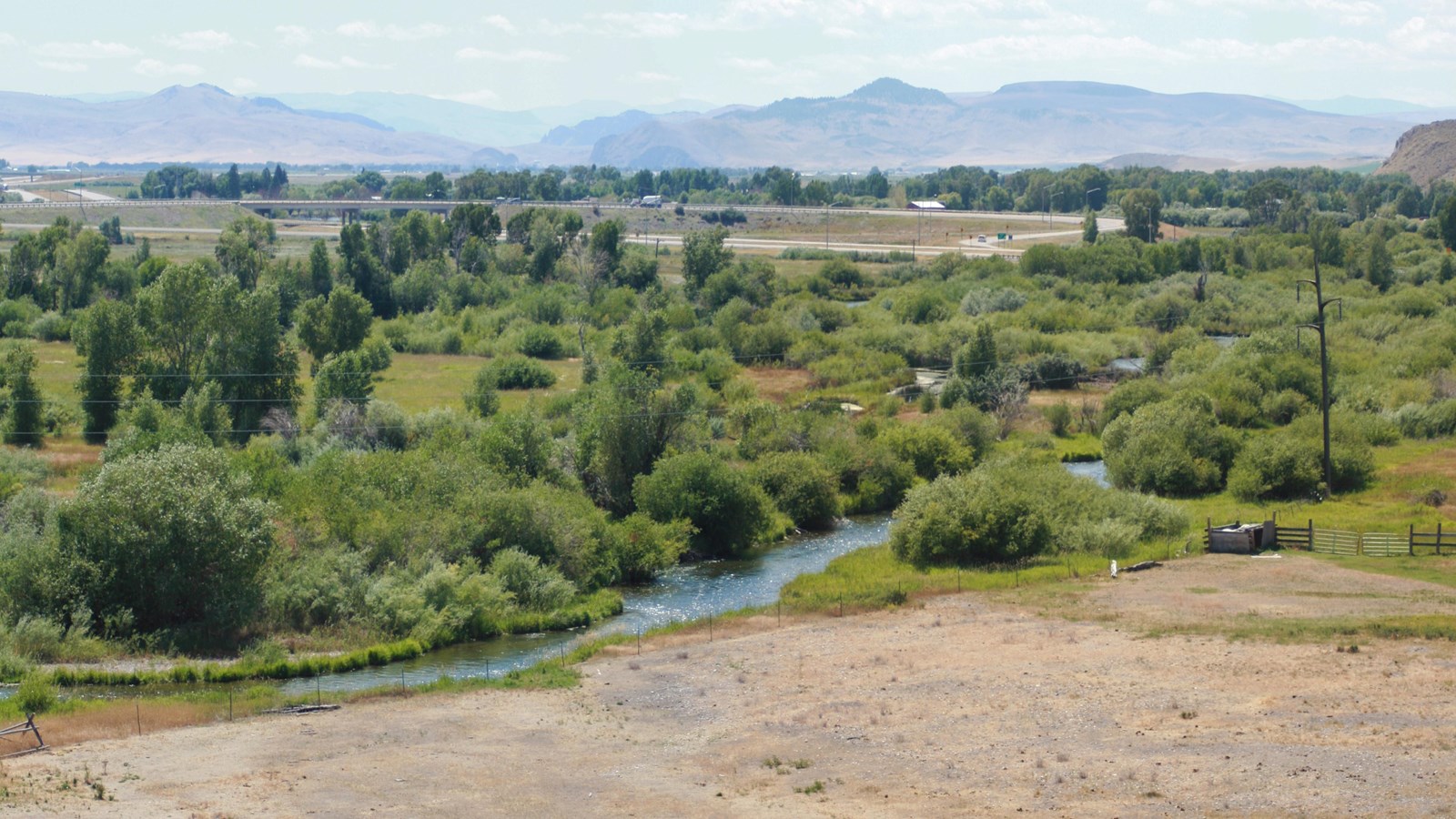
The park is 5,837 feet in elevation and 1,529 acres. The campground has 28 sites and a group picnic site. A rental tipi is located in the campground situated along Grasshopper Creek.
In the winter months, dress warmly and skate on the frozen dredge pond from sometime in January to the first week in March (weather permitting). Warming house hours are 11 a.m. to 5 p.m. on weekends. Skates are available to use or you may bring your own.
Distance Unit:
Distance Unit:


The Blackfoot River, sometimes called the Big Blackfoot River to distinguish it from the Little Blackfoot River, is a snow-fed and spring-fed river in western Montana.


A trail starting at Hauser Dam and overlooking the Missouri River.