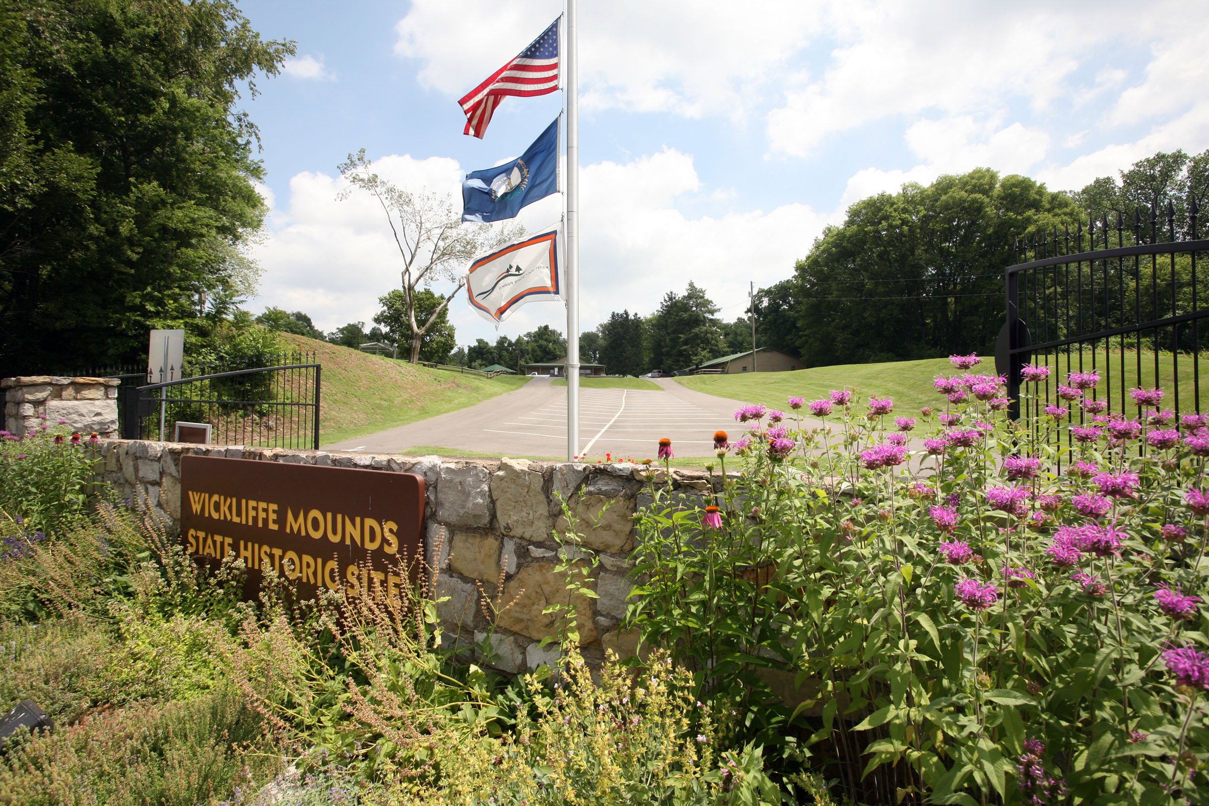
Wickliffe Mounds State Historic Site
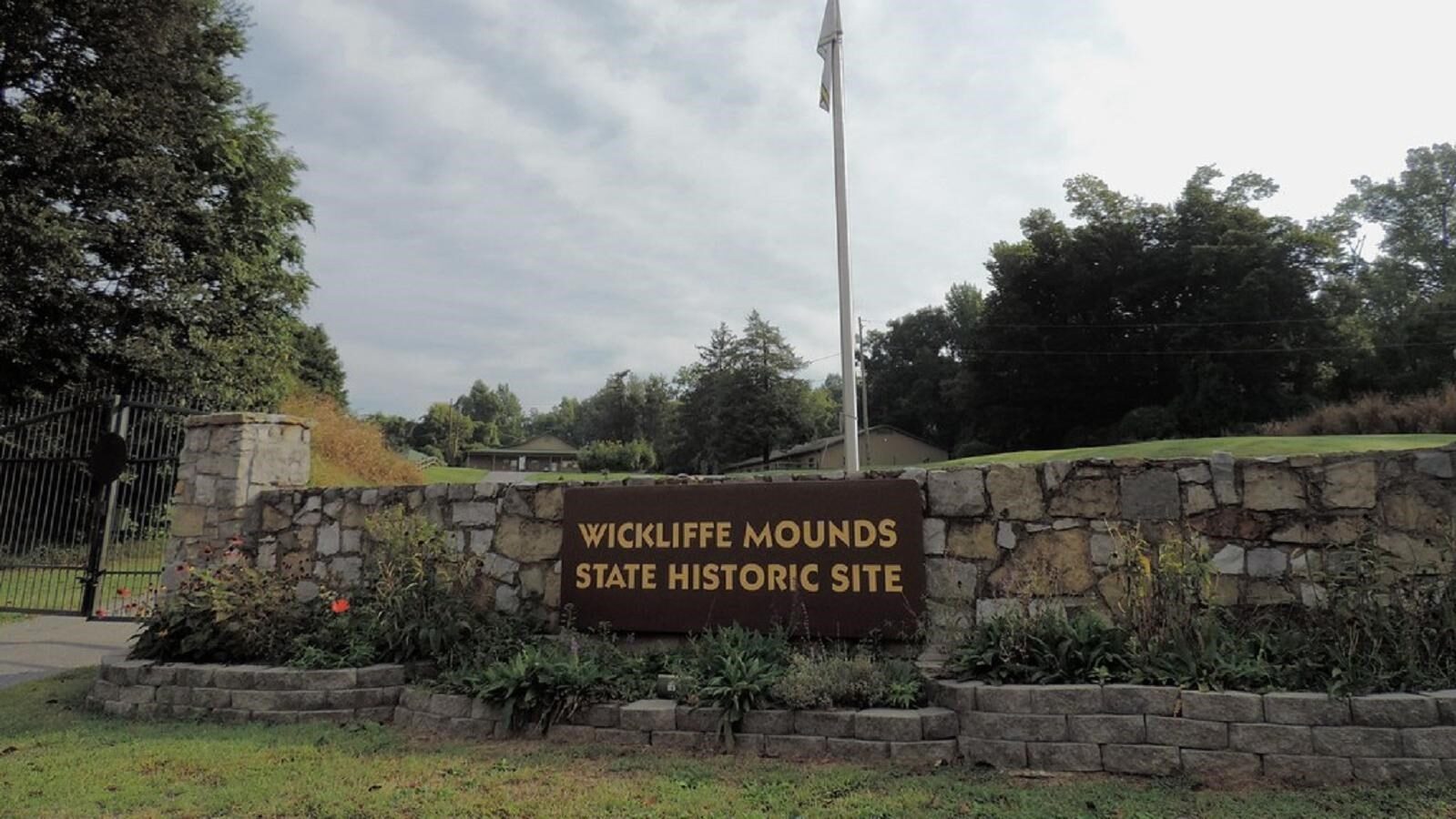
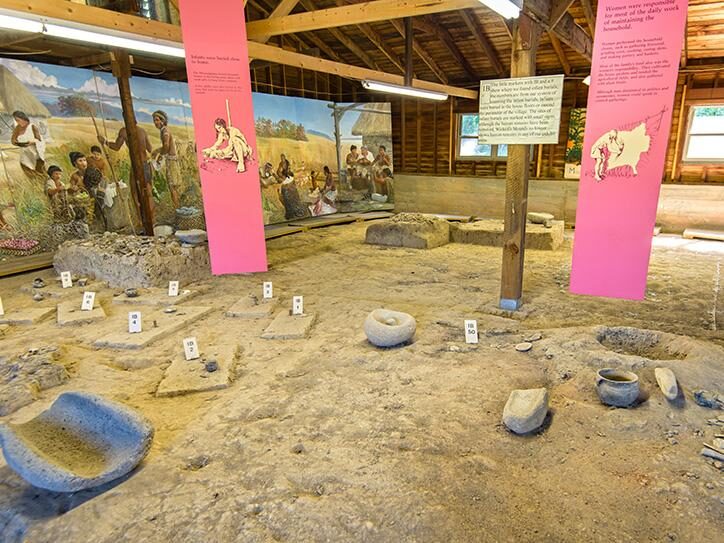
Come see the Wickliffe Mounds State Historic Site, the location of a Native American village from A.D. 1100-1350! Here, people of the Mississippian culture built earthen mounds and permanent houses around a central plaza overlooking the Mississippi River. Today, this Native American archaeological site features mounds surrounded by abundant wildlife, museum exhibits, a walking trail, welcome center, a gift shop and picnic areas. Special exhibits, hands-on displays, events, demonstrations and educational programs occur at various times throughout the year.
Visitors can learn about the archaeological site of a Native American village or visit the museum and view exhibits of pottery, stone tools, artifacts and park history. The Welcome Center also has a trail map for nearby hiking and information on birding, with the site being hosting a number of bird species, especially during summer.
We hope you visit and enjoy your stay in Wickliffe!
Distance Unit:
Distance Unit: