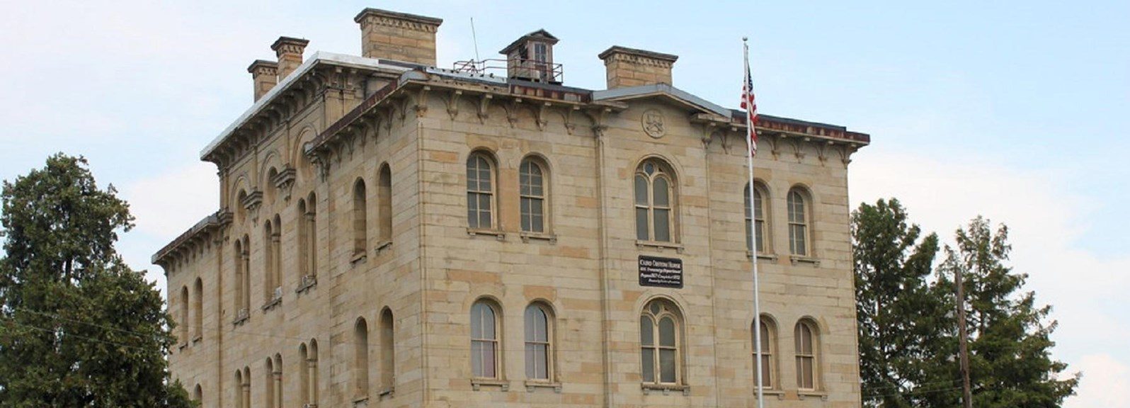
Built in 1872, the Cairo Custom House Museum is full of historical significance. Listed on the National Register of Historic Places, the Cairo Custom House was originally used as the location for collecting tariffs on imports being traded along the Mississippi River. Other uses for the building included but was not limited to a seat for the Federal court, post office, and offices for other government agencies.
Visitors will find exhibits that include many Civil War-era related pieces, including a desk used by Ulysses S. Grant whenever he visited the city, as well as a replica of the U.S.S. Cairo gunboat. Other exhibits include local historical pieces and information about the Custom House itself. Outside the museum, visitors can walk around the museum grounds and get up close to two different, historic decommissioned cannons.
In connection to the Lewis & Clark National Historic Trail, the museum commemorates the life and legacy of York, William Clark’s slave who accompanied the Corps of Discovery. There is also a special marker for Seaman, Captain Merryweather Lewis’s Newfoundland that traveled with the Corps.
Whether you’re a history buff or a looking to spend a day out, the Cairo Custom House Museum is a can’t miss.