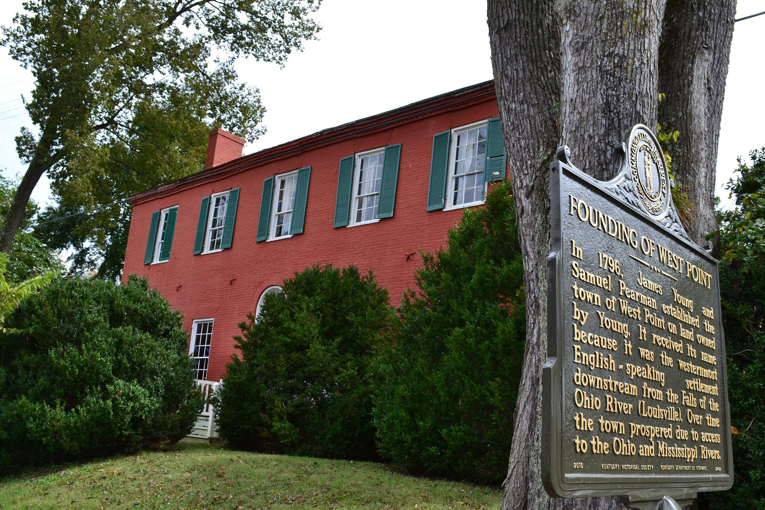
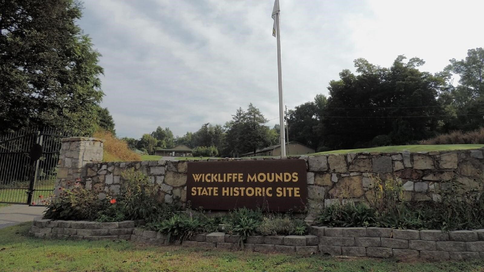
Wickliffe Mounds State Historic Site, Kentucky
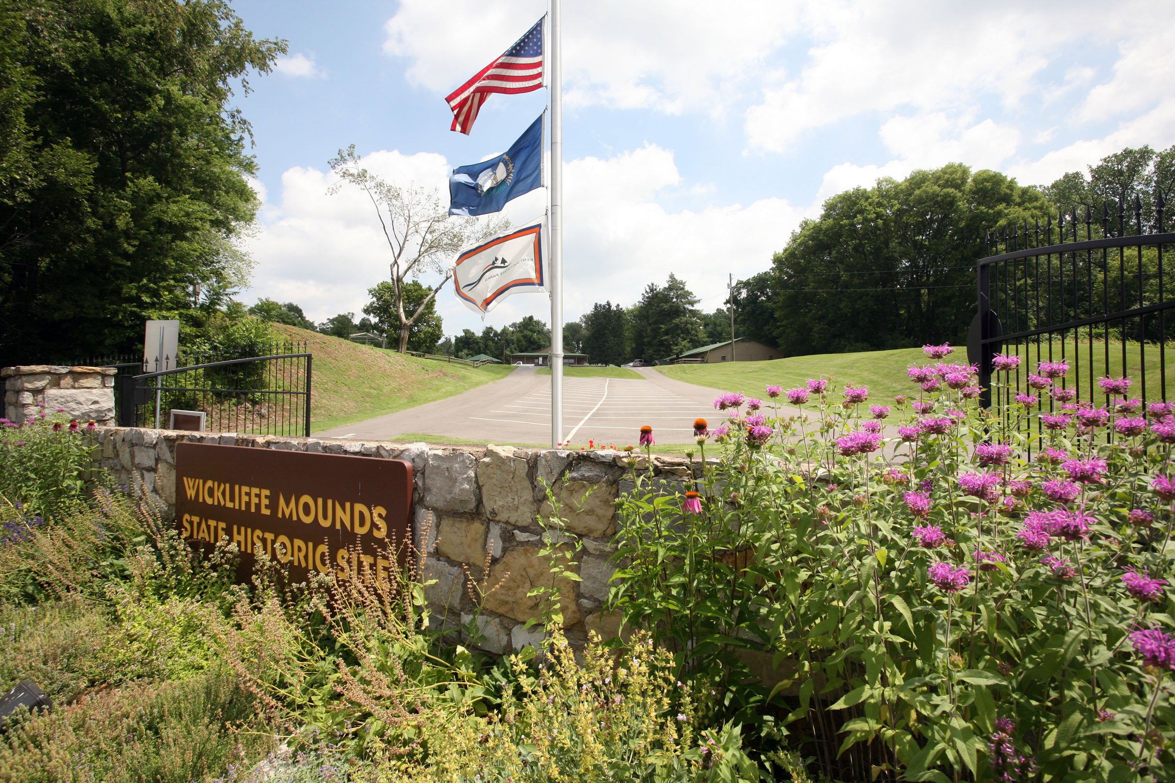
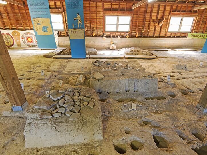
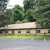
Wickliffe Mounds State Historic Site is located in Wickliffe, Ballard County, Kentucky, and is an archaeological site of a Native American village of the Mississippian culture, dating 1100 to 1350 AD/CE. The site interprets the indigenous mounds, features of historic excavations and artifacts of the Mississippian culture, as well as history of this region. One historical aspect of this area, at the confluence of the Mississippi and Ohio rivers, is the Lewis and Clark Trail. In November of 1803, Lewis and Clark were camped at nearby Cairo, IL, and took a few days to explore the area and see what remained of old Fort Jefferson, built by George Rogers Clark in 1780. Fort Jefferson is located near Wickliffe Mounds and in our Welcome Center at the park, we provide tourism information and historical background about the Lewis and Clark Trail in our area. Wickliffe Mounds State Historic Site is on the Highway 60 Auto Tour Route in Kentucky.
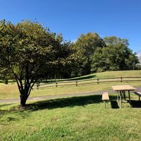
Wickliffe Mounds has a museum, welcome center, gift shop, picnic areas and walking trails. April through October, the park presents special events and educational programs, such as the annual Archaeology Day in September.


Distance Unit:
Distance Unit: