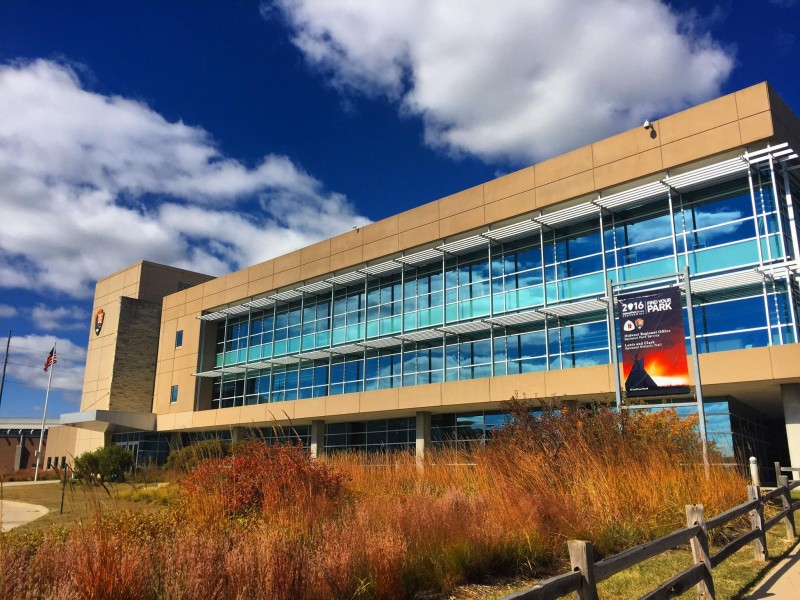
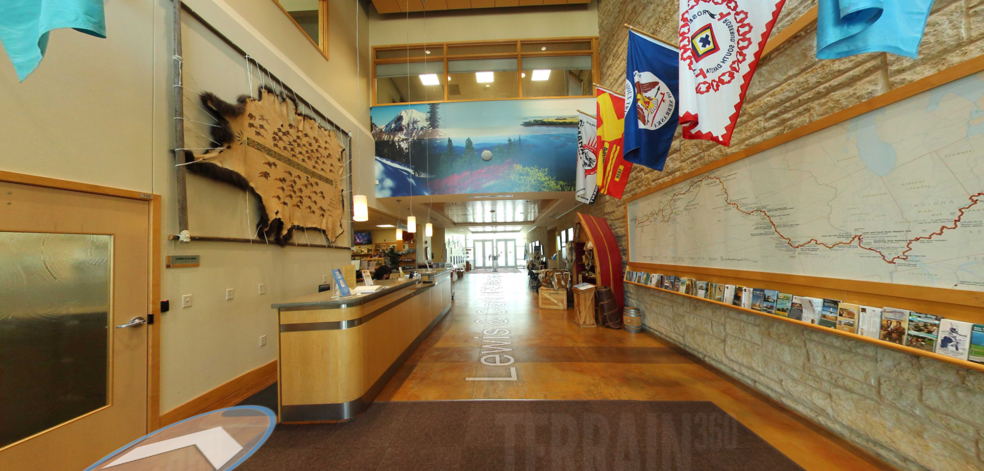
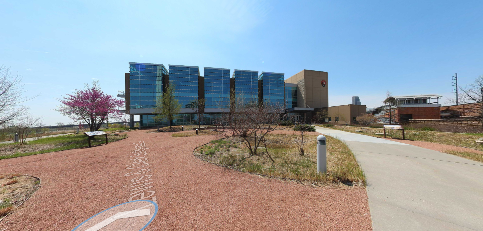
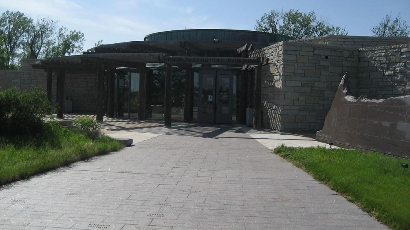
Western Historic Trails Center
Guides and Tours
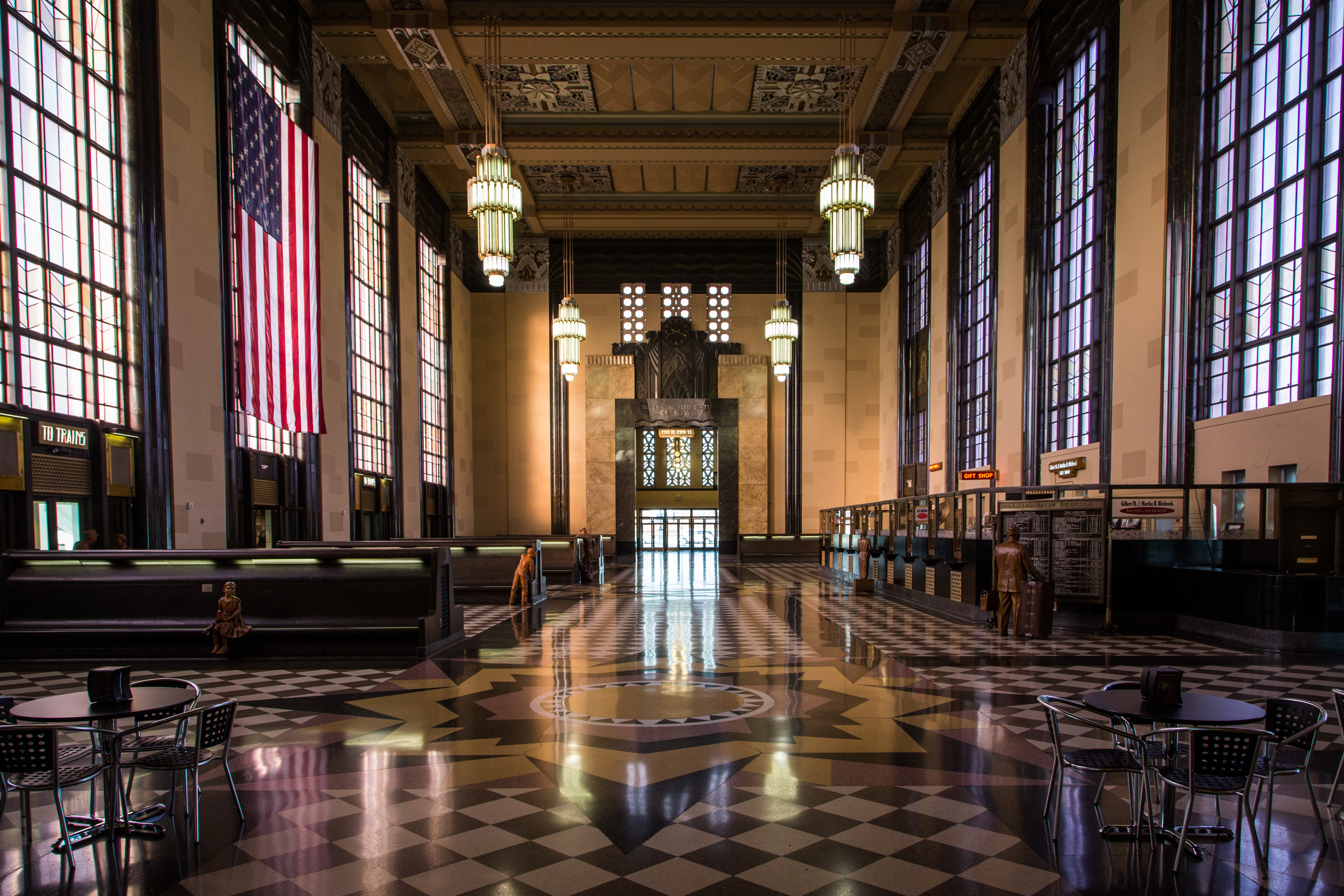
Museum, Theatre, or Intrepretive Center
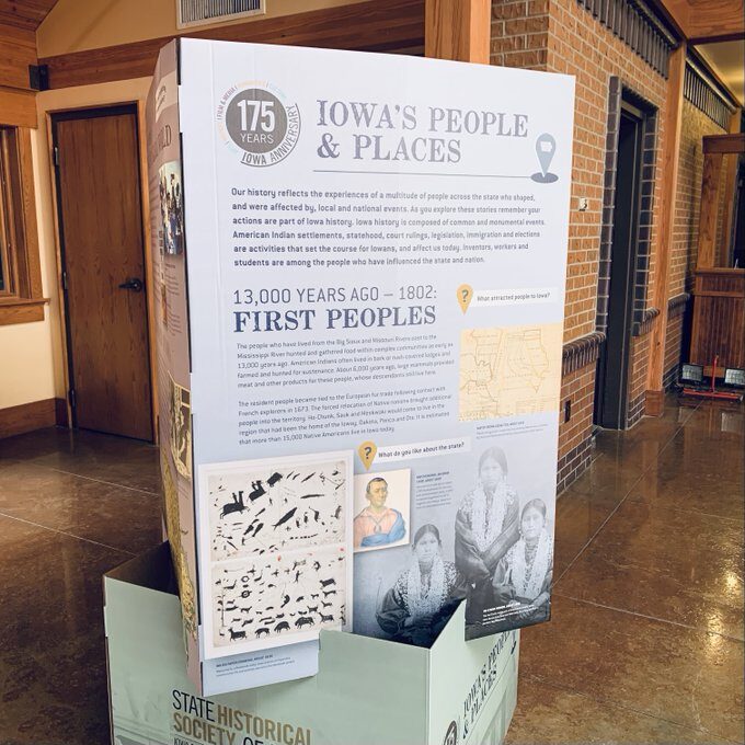
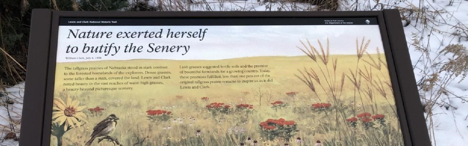
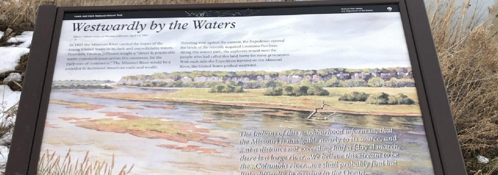
History
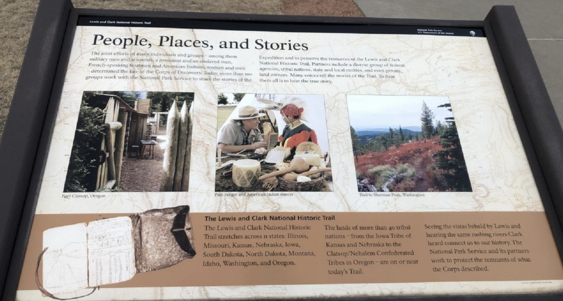
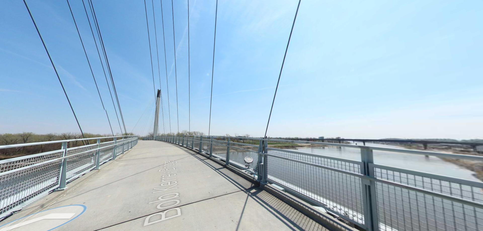
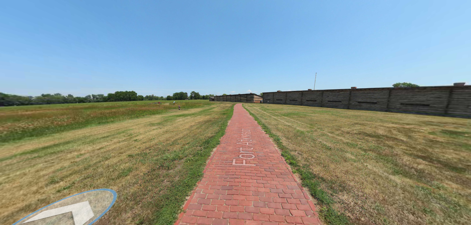
Trail
3434, Richard Downing Avenue
Council Bluffs
Iowa
51501