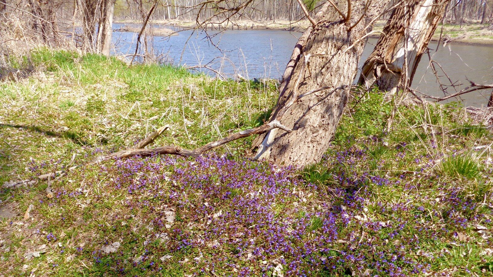
Platte River Confluence
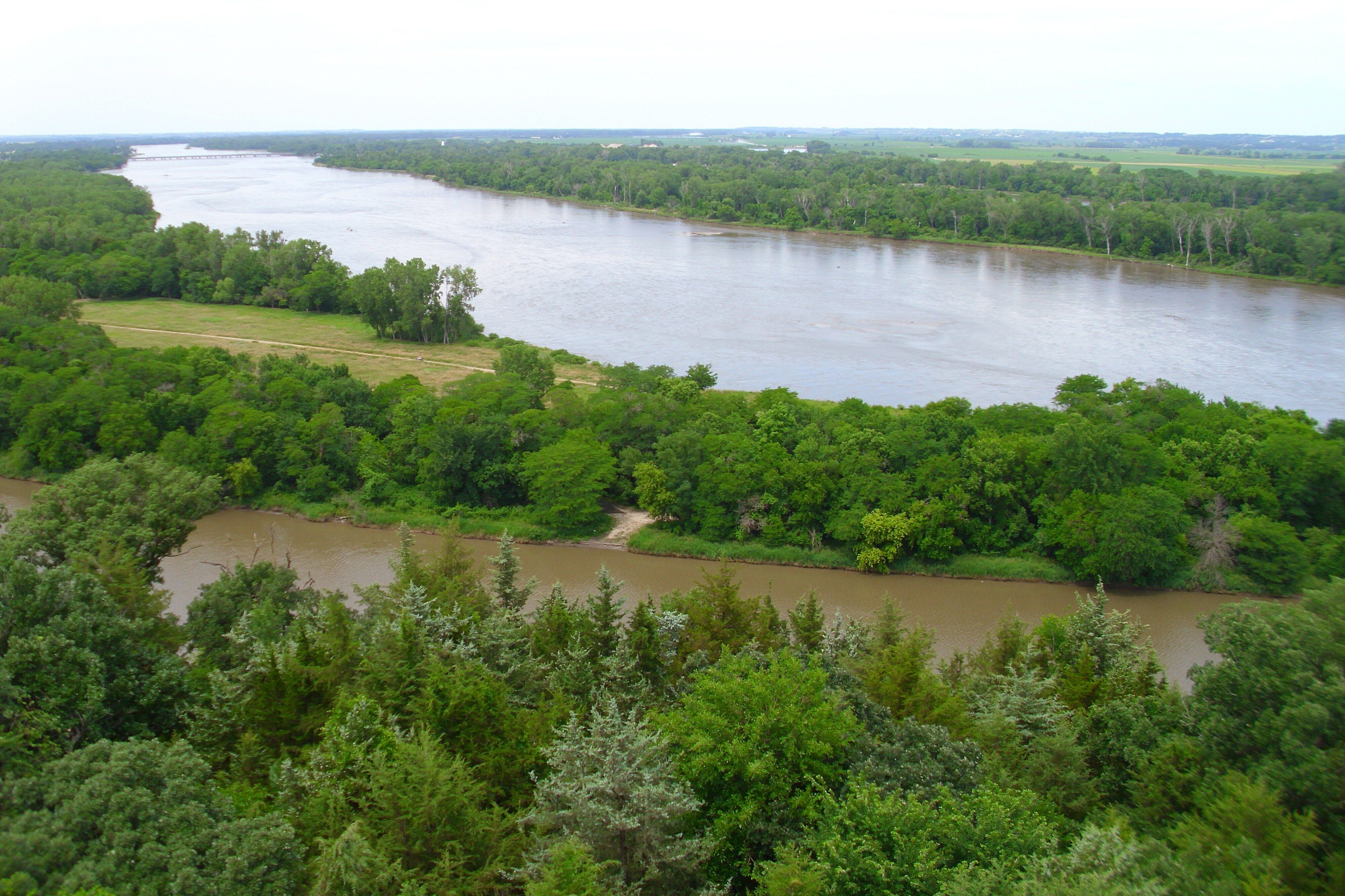
The Platte River Confluence is a part of the Platte River, a major waterway in the state of Nebraska. On July 21, 1804, the expedition chose the confluence as their place to halt their journey to camp, explore, and conduct experiments about and around the area.
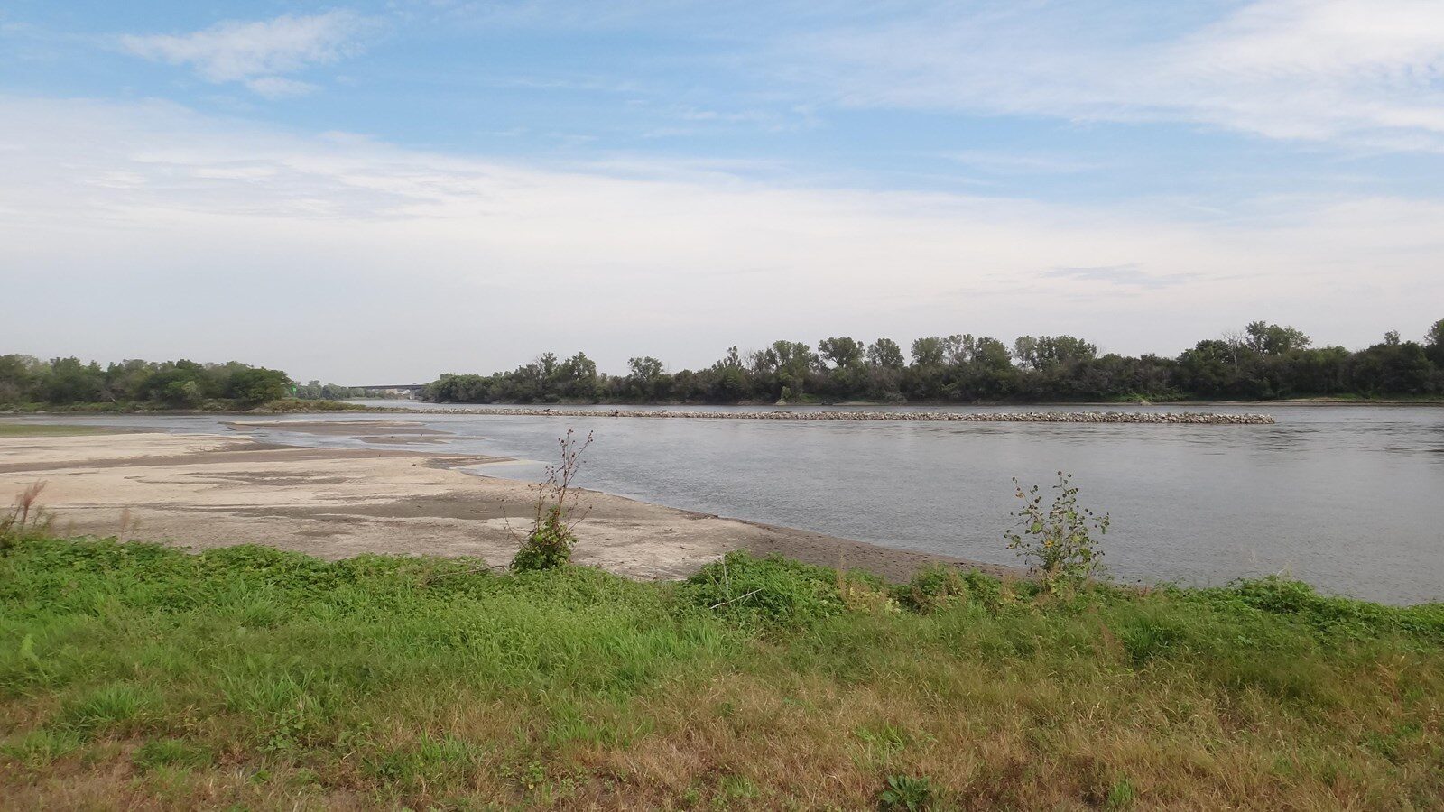
Merriweather Lewis recorded in his journal his study of the confluence,“by a boiling motion or ebolition of its waters occasioned no doubt by the roling and irregular motion of the sand of which its bed is entirely composed…. Hurried by this impetuous torrent in large masses from place in the irristable forse, collectin and forming sand bars in the course of a few hours which suddenly dissipated to form others.”
Lewis’ description of the torrential ebbs and flows of the confluence was a good situation to study, for future travel as well as understanding the territory that was brand new to the expedition. Moreover, the corps explored a short distance on foot, up the Platte River and crossed it noting the depths were no more than “over 6 or 7 feet,” and most likely calm enough to cross on foot.
Today, the Platte River Confluence is accessible to the public. It is maintained to preserve the natural state of the confluence, giving visitors the chance to experience the confluence similarly to how the Corps of Discovery did over 200 years ago. However, the natural state of the river has changed since the expedition’s visit in 1804 due to natural as well as manmade conditions. The width and current of the channel have both decreased in velocity, due to agricultural irrigation points upstream. The historical significance and the Platte River Confluence itself are worth beholding.
Distance Unit:
Distance Unit: