Jefferson City Greenway Trail
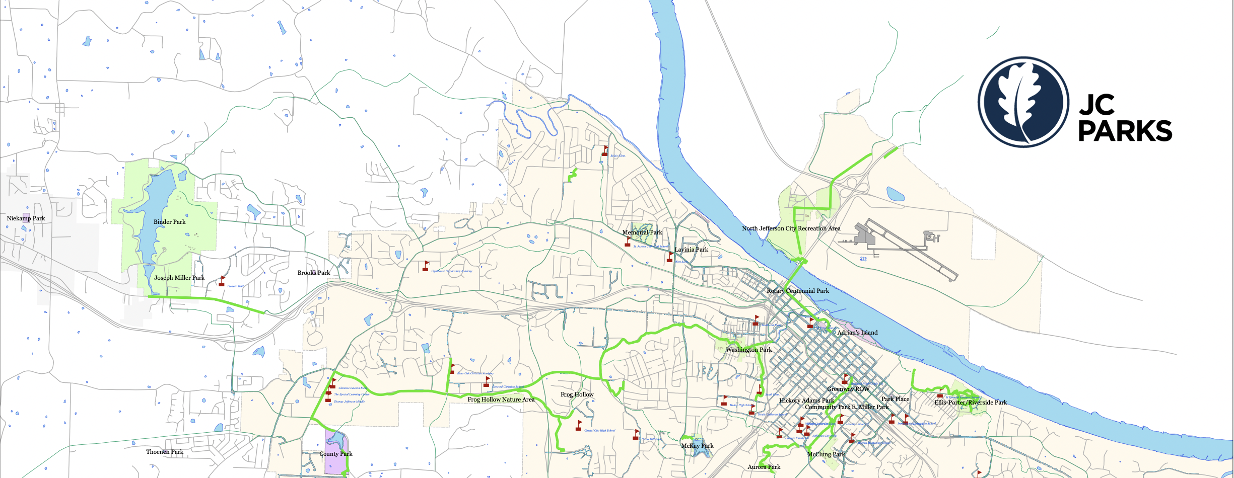
Not just a single trail, Jefferson City’s Greenway Trail is actually a trail system consisting of a multi-use network designed to provide outdoor enthusiasts with a safe alternative route from the busy streets. The goal behind the Greenway Trail System is to connect pillars of the Jefferson City community such as schools, neighborhoods, small businesses, and parks. The trail gets its name from the term ‘greenway’, which bands together small strips of land beside the trails that are maintained with minimal infrastructure development.
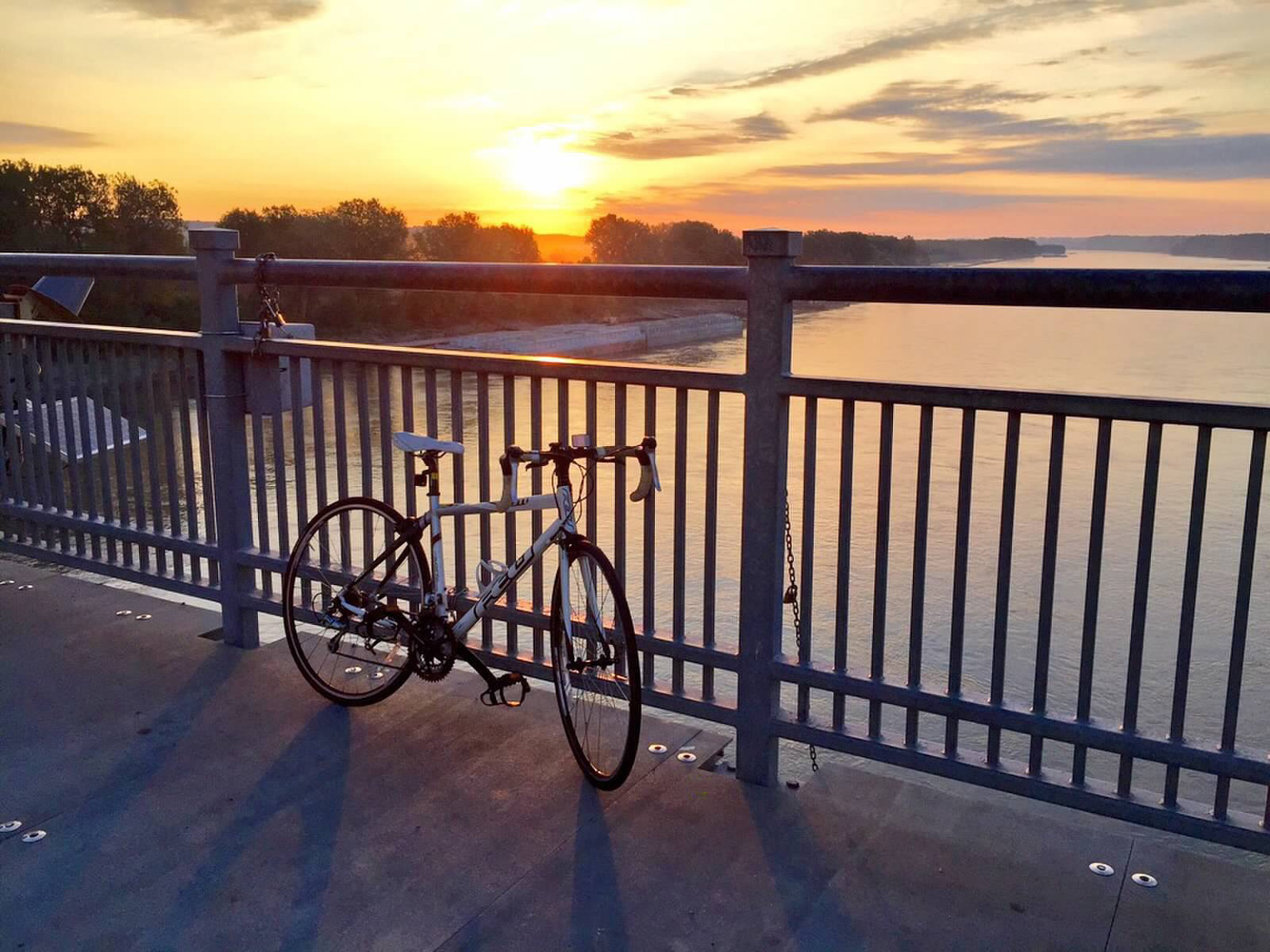
Walking, biking and skating are all encourage on this popular and roughly 15-mile Jefferson City Trail. Visit https://www.jcparks.com/park/greenway/ to learn about the different sections of the Jefferson City Greenway Trail.
Distance Unit:
Distance Unit:


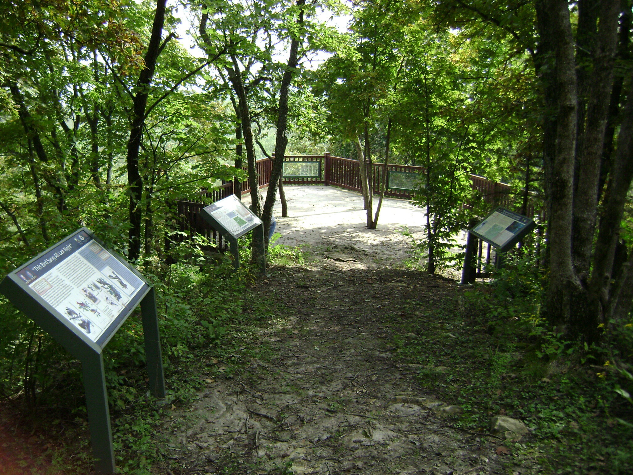
Explore the Trail of Tears State Park to delve into a somber chapter in American history. Here, nine Cherokee Indian groups crossed the harsh winter Mississippi River in 1838-1839 during their forced relocation to Oklahoma.…

A boat ramp that allows visitors to access the Trail of Tears

A breathtaking viewpoint overlooking the Trail of Tears State Park. Car access is available


The path taken by Chief John Ross on his way to Cairo. (https://www.hmdb.org/m.asp?m=161480)