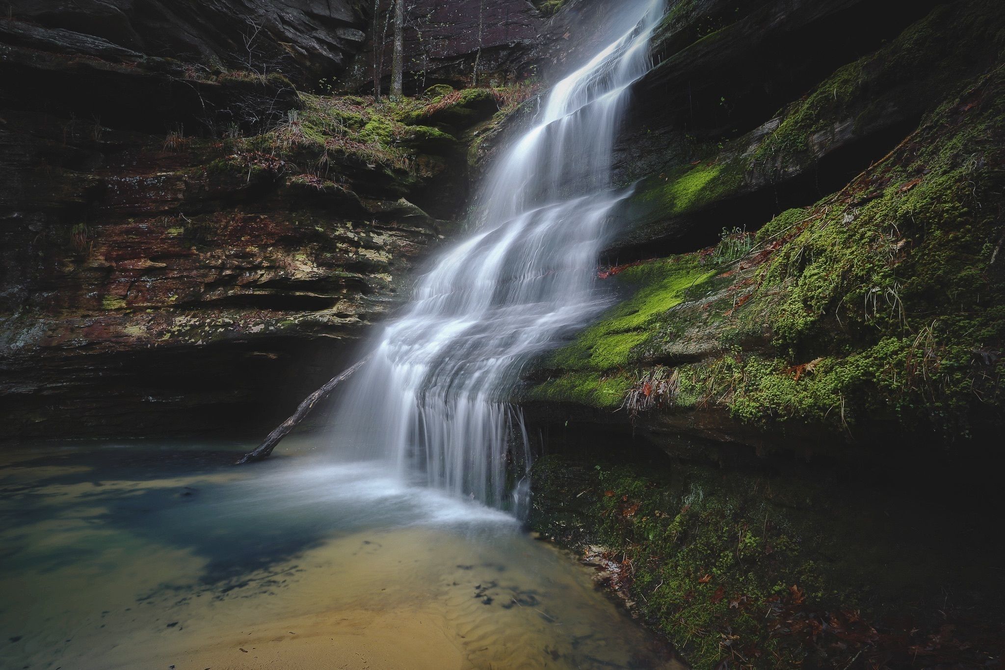
Pickle Springs Natural Area
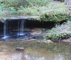
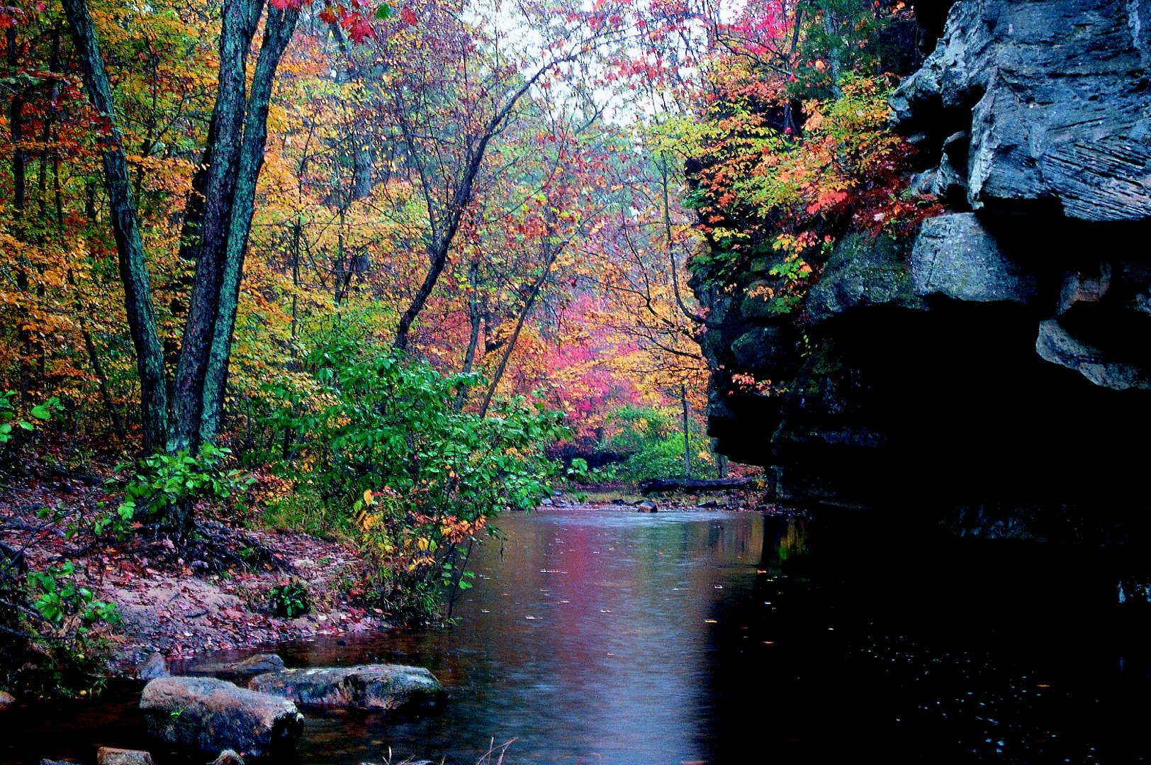
Pickle Springs Natural Area contains all sorts of fascinating sandstone rock formations including box canyons and wet weather waterfalls.
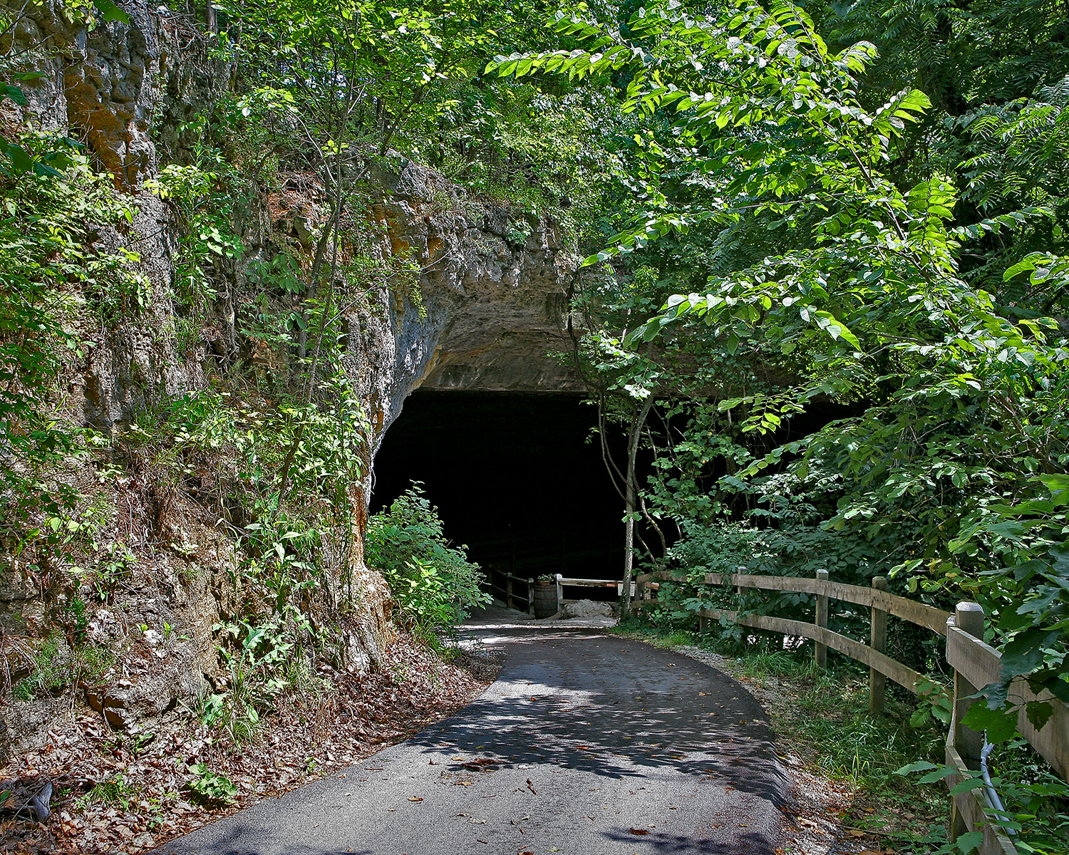
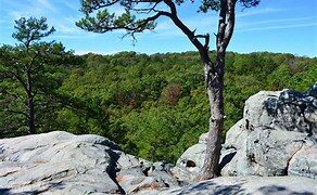
In one hour on Trail Through Time at Pickle Springs you will travel far into the past, into a narrow slot eroded in sandstone, through double arches and past interesting rock formations. Bridges cross Pickle Creek and Bone Creek, and then the trail climbs finally reaching Dome Rock Overlook. The lush panoramic view from atop this rocky hoodoo is awe inspiring. In contrast, the scraggly pines growing here are over 100 years old, dwarfed by the poor growing conditions. Next comes Pickle Spring which is named after an 1800s landowner. Further along is Rockpile Canyon, formed in 1959 when the bluff thunderously collapsed. Near the end is Piney Glade. Little else grows on this sandstone bedrock. Because of its unique features this area is a National Natural Landmark.
Distance Unit:
Distance Unit:


A breathtaking viewpoint overlooking the Trail of Tears State Park. Car access is available

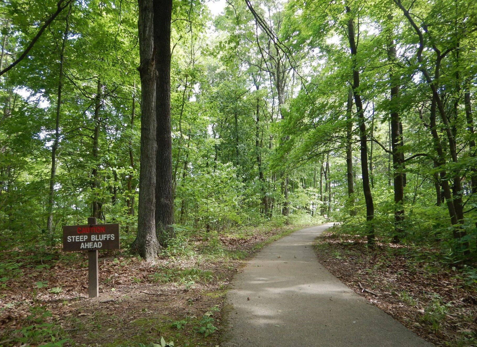
Here, nine Cherokee Indian groups braved harsh winter conditions while crossing the Mississippi River in 1838-1839, marking a sorrowful chapter in American history. The park also has: shaded picnic sites, hiking and horse trails, opportunities to fish…

The path taken by Chief John Ross on his way to Cairo. (https://www.hmdb.org/m.asp?m=161480)