Page Feedback

Jefferson River Canoe Trail
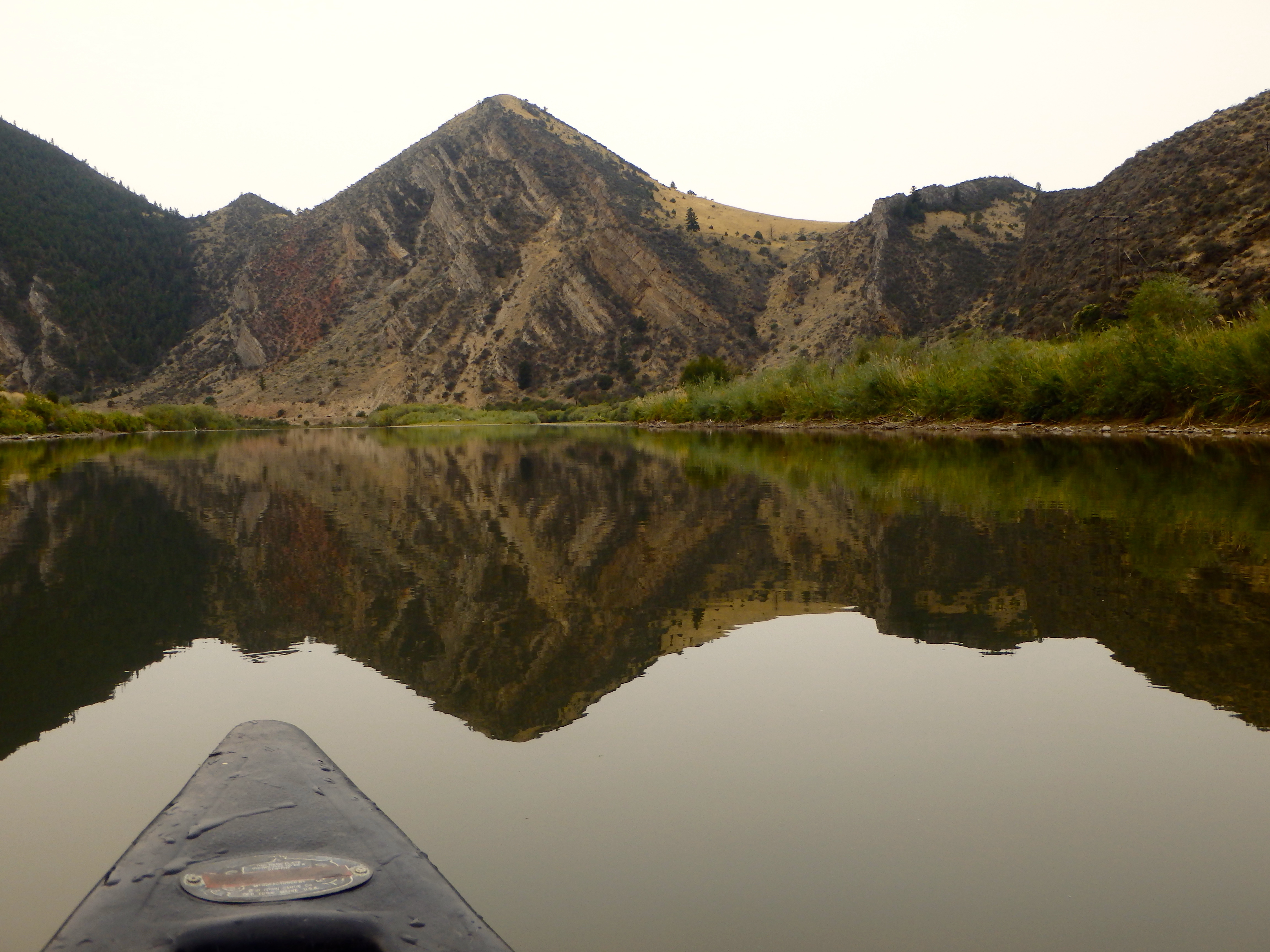
Jefferson River Canoe Trail

Information

406-685-3222
No cost.
lat: 45.8647088 long: -111.6293514

The Jefferson River Canoe Trail retraces by water an essential segment of the Lewis and Clark National Historic Trail along the entire length of the Jefferson River in southwest Montana.

The Lewis and Clark Expedition towed dugout canoes up the Jefferson River in 1805 in search of a navigable water route to the Pacific. Most present-day travelers prefer to follow the trail in reverse, floating down the Jefferson River in search of fun and fishing. The entire length of the river is Class I water, suitable for beginning paddlers, except during runoff season in spring.

The Canoe Trail includes a network of multipurpose campsites on public lands on the Jefferson River. The public may float into these sites for primitive camping along the river. At each camp there are opportunities for such activities as bird watching, mushrooming, hiking, and fishing.

Nearby Attractions

Distance Unit:

Nearby Trails

Distance Unit:

James Kipp Landing

lat: 47.6276519 long: -108.6854877
Lemhi Pass Road

lat: 44.9579032 long: -113.3652553
Old Buffalo Trail 2

lat: 46.9547545 long: -113.5255417
Yellowstone River

lat: 45.511026613548 long: -110.58150009801
Lolo Trail to Nee Me Poo Trail #40

lat: 46.58654 long: -114.73281
Hauser Hiking Trail

A trail starting at Hauser Dam and overlooking the Missouri River.

lat: 46.765794328365 long: -111.88708305359
Hole in the Wall to Judith Landing

lat: 47.7400888 long: -109.6276312
Tower Rock Trail

lat: 47.188617 long: -111.8101938
Missouri River Left

lat: 46.6822743 long: -111.8215701
Rivers Edge Trail

lat: 47.517582 long: -111.2649299
Rogers Pass

lat: 47.0763322 long: -112.370577
Missouri River Right

lat: 46.6822743 long: -111.8215701
Send Feedback

Instagram Feed