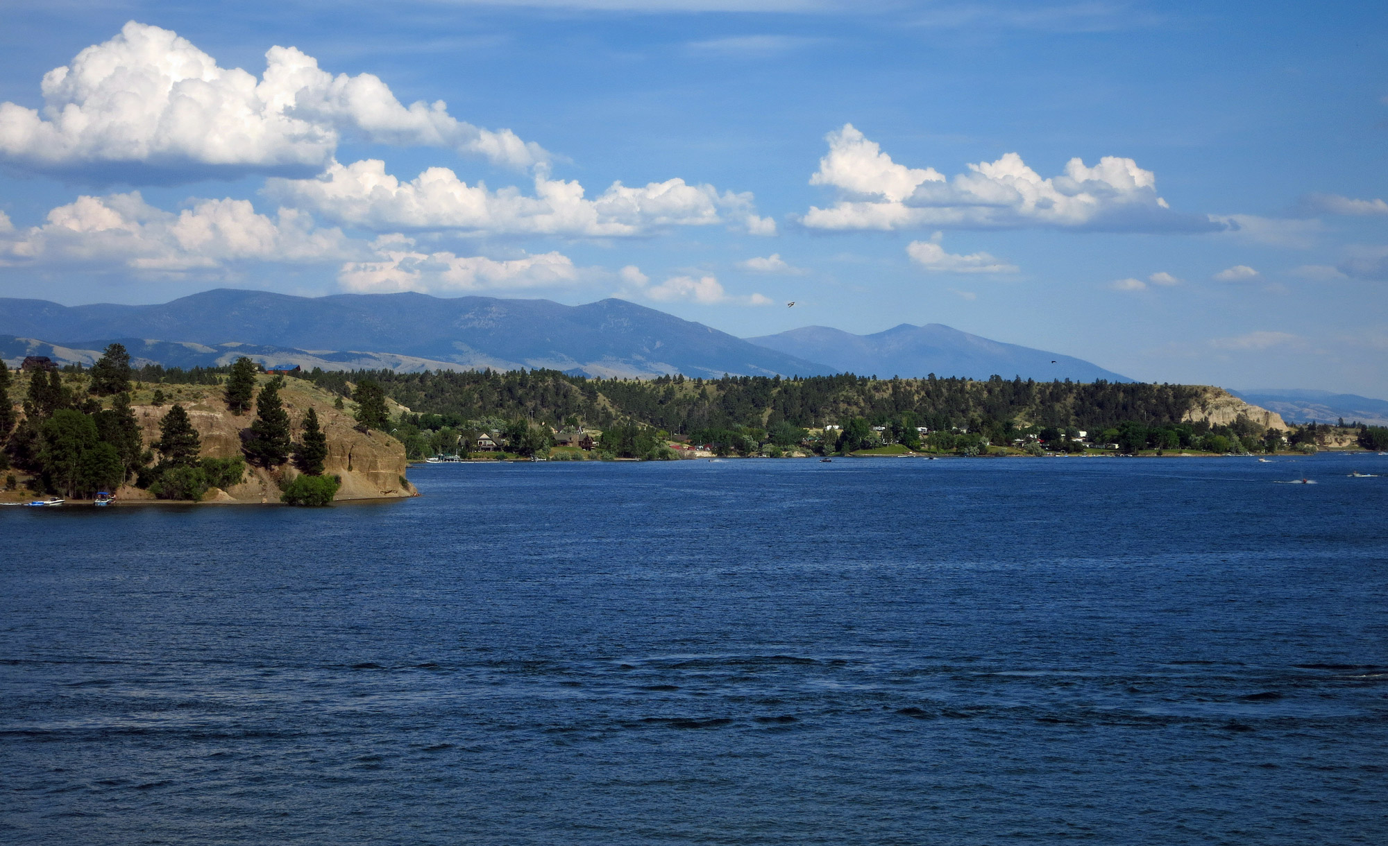
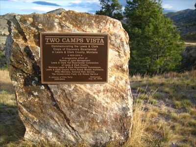
Two Camps Vista
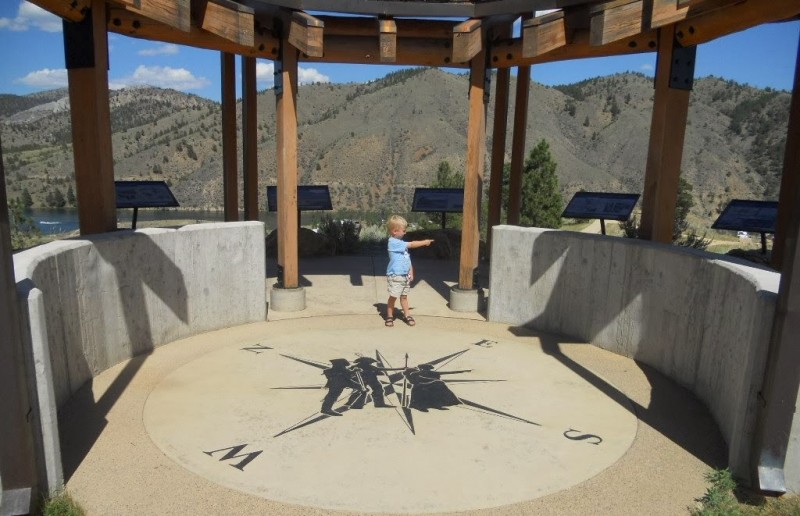
Far above the Missouri River, the new Two Camps Vista area commemorates the Lewis and Clark Expedition and other early pioneers in the area. On 20 July 1805, both Lewis and Clark camped within a mile of this point. Clark had headed out ahead of the main expedition with several men to find the Snake (Shoshone) Tribe while Lewis remained with the boats.
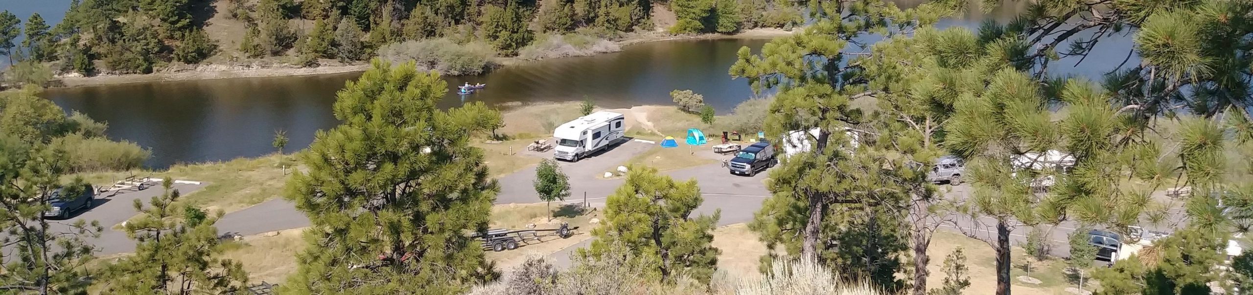
Located near the Clark’s Bay Day Use Site and Devil’s Elbow Campground, enjoy this commemorative historic site accessible via a non-motorized, paved trail.
The nearby Clark’s Bay Day Use Site has restrooms, picnic shelters, picnic tables, swimming area, volleyball area, potable water, parking, boat ramp for small boats, and trails.
DIRECTIONS: From Helena take Exit 193 (Cedar Street) from I-15. Travel on Washington Street (past airport entrance) and turn right on Canyon Ferry Road for 1/2 mile, then turn left on York Road for approximately 11 miles through Lakeside before you reach the Clark’s Bay entrance, you will see a small turn off on the right hand side of the road with a Two Camps Vista sign attached to a large boulder. If you reach the Clark’s Bay entrance sign, you have gone too far.
Distance Unit:
Distance Unit:

A trail starting at Hauser Dam and overlooking the Missouri River.