Page Feedback

Stoney Point to Chilo Lock
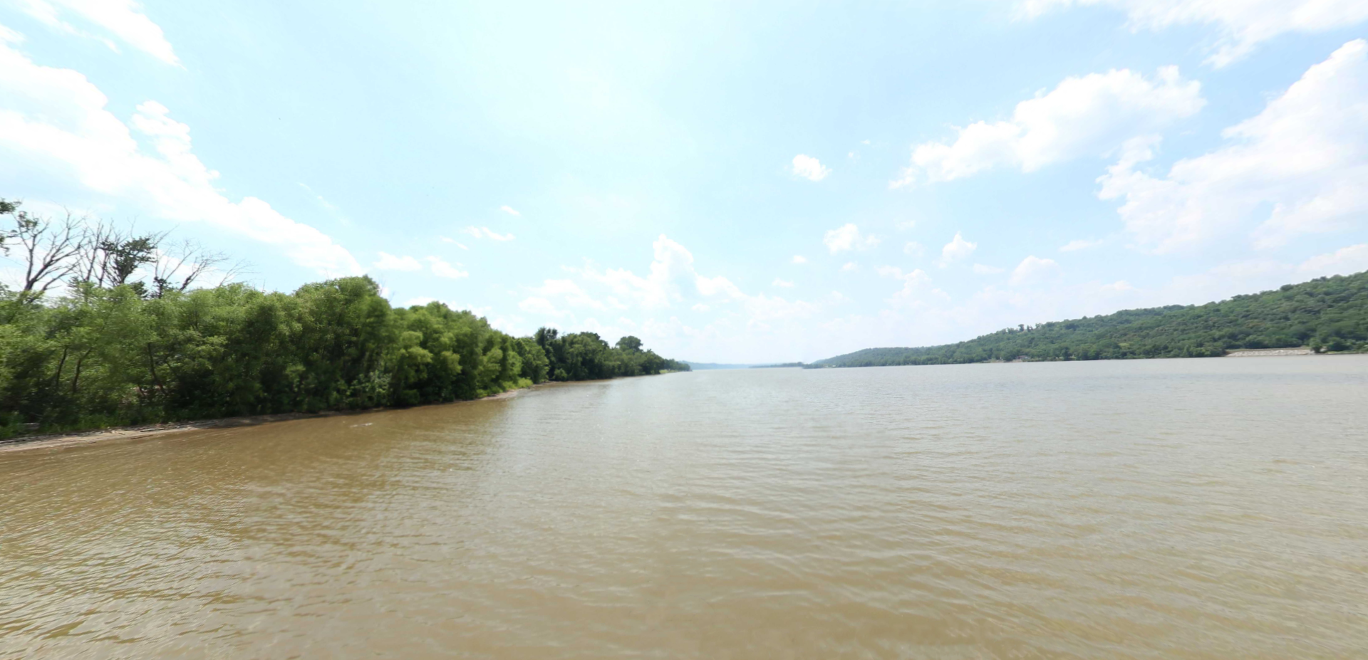
Stoney Point to Chilo Lock

Information

lat: 38.7899251 long: -84.130413

This section of the virtual tour of the Ohio River begins at Stoney Point, Kentucky and passes through Higginsport, Ohio and Augusta, Kentucky. The tour passes by several riverside campgrounds including Poker Flats, Shady Rest Riverside, and Runabouts.

Nearby Attractions

Distance Unit:

Nearby Trails

Distance Unit:

Lawrenceburg to Warsaw

lat: 38.9262937 long: -84.8647941
Wurtland Kentucky to Greenup Dam

lat: 38.9262937 long: -84.8647941
Madison Indiana to Manchester Island

lat: 38.9262937 long: -84.8647941
Henderson Island

lat: 38.9262937 long: -84.8647941
Portsmouth to Vanceburg

lat: 38.9262937 long: -84.8647941
Chilo Dam to Cincinnati Ohio

lat: 38.9262937 long: -84.8647941
Henderson

lat: 38.9262937 long: -84.8647941
Ashland to Wurtland Kentucky

lat: 38.9262937 long: -84.8647941
Big Bone Lick Visitor Center

lat: 38.8888642 long: -84.7476118
18 Mile Island

lat: 38.9262937 long: -84.8647941
Vanceburg Kentucky

lat: 38.9262937 long: -84.8647941
West Point – Elm Street

lat: 37.9994889 long: -85.952838
Send Feedback

Instagram Feed