Ray County Community Lake
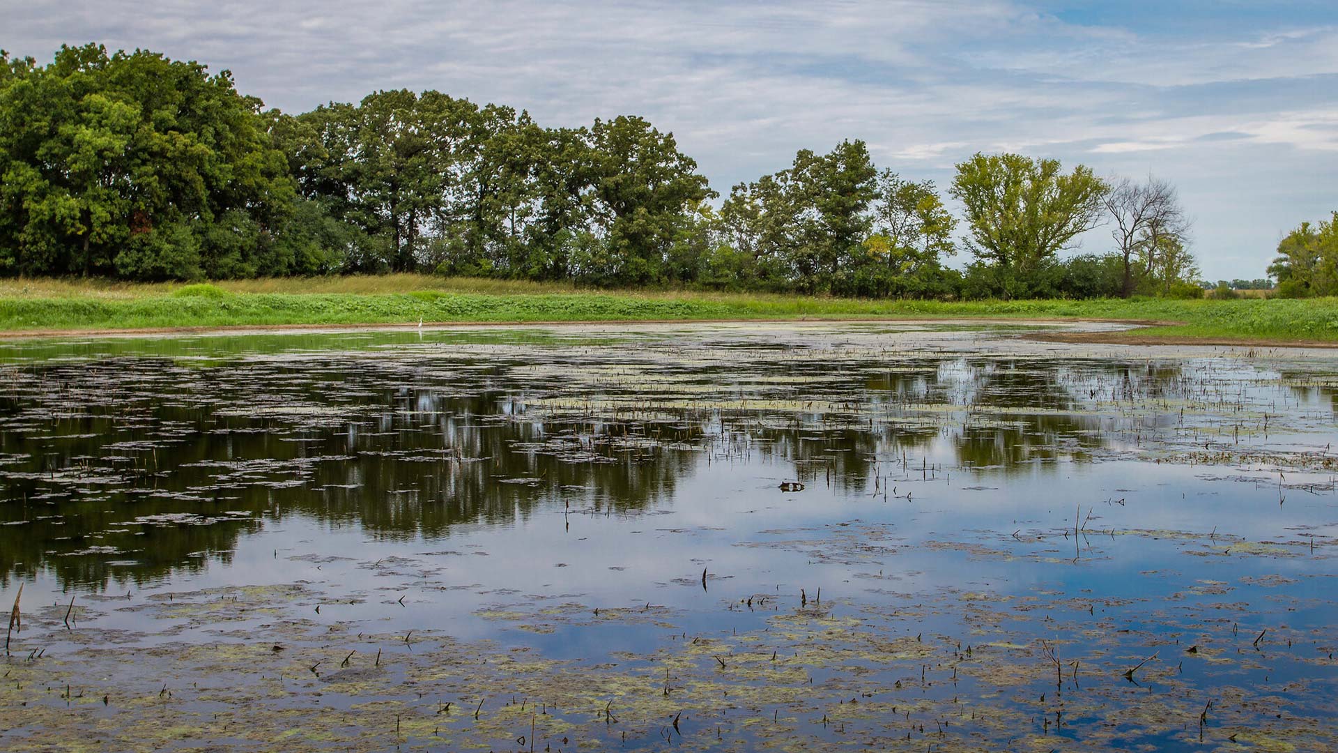
The Ray County Community Lake is a charming natural area near Richmond, MO, about an hour from Kansas City, MO, that offers a chance to connect with nature. With fantastic bird-watching, fishing and walking trails available, visiting this lake is a great chance for outdoor recreation.
Ray County, Missouri holds many hidden gems so this is a great stop to make as you’re exploring the region and need a beautiful place to take a deep breath.
Distance Unit:
Distance Unit:

The path taken by Chief John Ross on his way to Cairo. (https://www.hmdb.org/m.asp?m=161480)


A breathtaking viewpoint overlooking the Trail of Tears State Park. Car access is available


Here, nine Cherokee Indian groups braved harsh winter conditions while crossing the Mississippi River in 1838-1839, marking a sorrowful chapter in American history. The park also has: shaded picnic sites, hiking and horse trails, opportunities to fish…


Explore the Trail of Tears State Park to delve into a somber chapter in American history. Here, nine Cherokee Indian groups crossed the harsh winter Mississippi River in 1838-1839 during their forced relocation to Oklahoma.…