The 
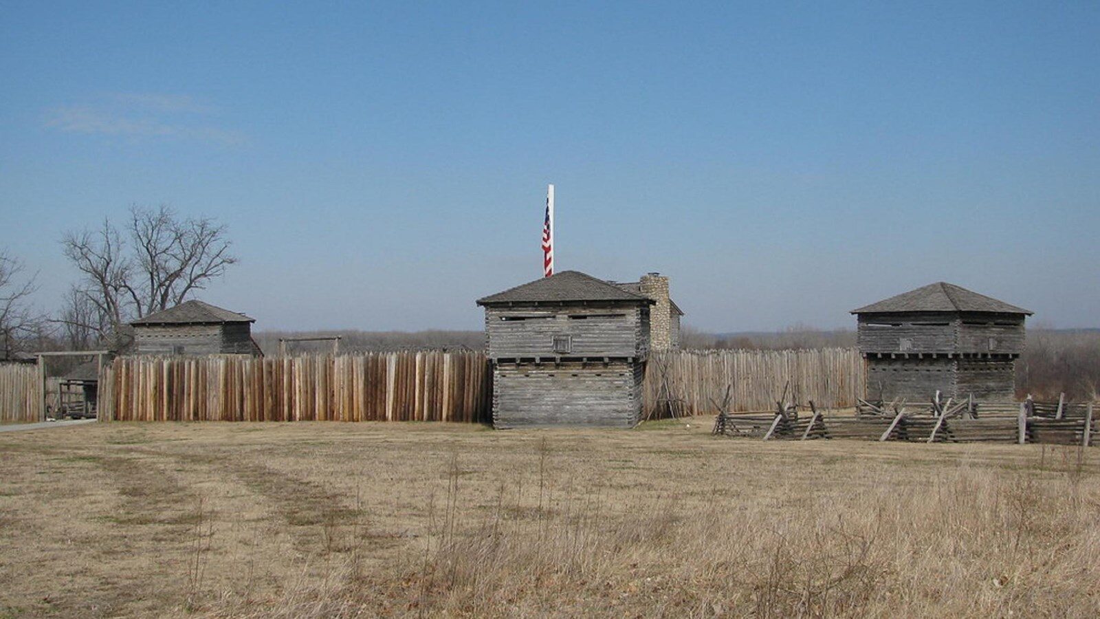
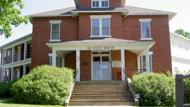
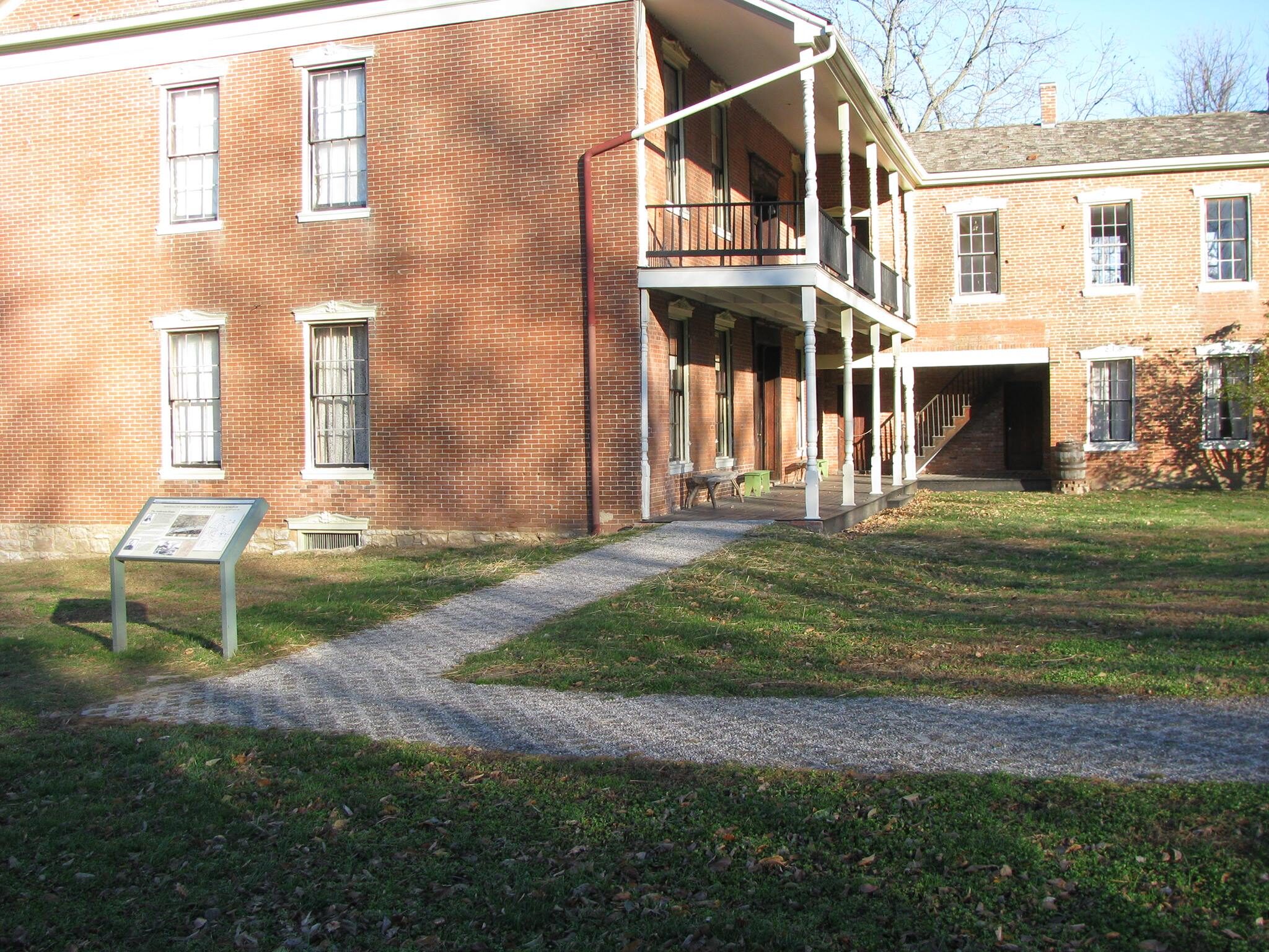
Lexington Historical Museum was built out of the former building for the Cumberland Presbyterian Church in Lexington. It features a wide range of preserved historic items and memorabilia, including the sword that Colonel James Mulligan gave up during his surrender during the First Battle of Lexington. It also includes exhibits regarding the 19th-century steamboat trade in Lexington, as well as the river bluff coal mines in the area, the Pony Express and Osage Nation Native American tribe.
Wentworth Military Academy Museum, 13th Street, Lexington, MO, USA
Distance: 0.02 mi (straight line)
Museums and Interpretive Centers
View Listing
Lafayette County Courthouse, Main Street, Lexington, MO, USA
Distance: 0.17 mi (straight line)
Battle of Lexington State Historic Site, Delaware Street, Lexington, MO, USA
Distance: 0.37 mi (straight line)
Museums and Interpretive Centers Guided Tours Walks and Hikes
View Listing
Madonna of the Trail, Commerce Street, Lexington, MO, USA
Distance: 0.37 mi (straight line)
Museums and Interpretive Centers
View Listing
Big River Ranch, Goodloe Orchard Road, Lexington, MO, USA
Distance: 3.21 mi (straight line)
9364 Mitchell Trail, Lexington, MO 64067, USA
Distance: 5.26 mi (straight line)
Food and Drinks Shopping Farms Wineries
View Listing
The Farris Theatre, West Main Street, Richmond, MO, USA
Distance: 8.36 mi (straight line)
Festivals and Events Galleries and Venues
View Listing
301 W Main St, Richmond, MO 64085, USA
Distance: 8.36 mi (straight line)
Ray County Museum, West Royle Street, Richmond, MO, USA
Distance: 8.43 mi (straight line)
Museums and Interpretive Centers
View Listing
Swanwick, Richmond Township, MO, USA
Distance: 12.05 mi (straight line)
Van Till Family Farm Winery, State Highway C, Rayville, MO, USA
Distance: 14.60 mi (straight line)
Of The Earth Farm Distillery, Missouri 13, Richmond, MO, USA
Distance: 16.29 mi (straight line)
Fort Osage National Historic Landmark, Osage Street, Sibley, MO, USA
Distance: 16.79 mi (straight line)
Museums and Interpretive Centers Forts LC Features
View Listing
Crooked River Conservation Area, Rayville, MO, USA
Distance: 17.66 mi (straight line)
321 E Walnut St, Waverly, MO 64096, USA
Distance: 19.77 mi (straight line)
2200 S Crenshaw Rd, Independence, MO 64057, USA
Distance: 24.40 mi (straight line)
Wineries Lodging Food and Drinks
View Listing
1500 N Liberty St, Independence, MO 64050, USA
Distance: 29.29 mi (straight line)
Museums and Interpretive Centers
View ListingOur bi-weekly newsletter provides news, history, and information for those interested in traveling along along the Lewis & Clark Trail.