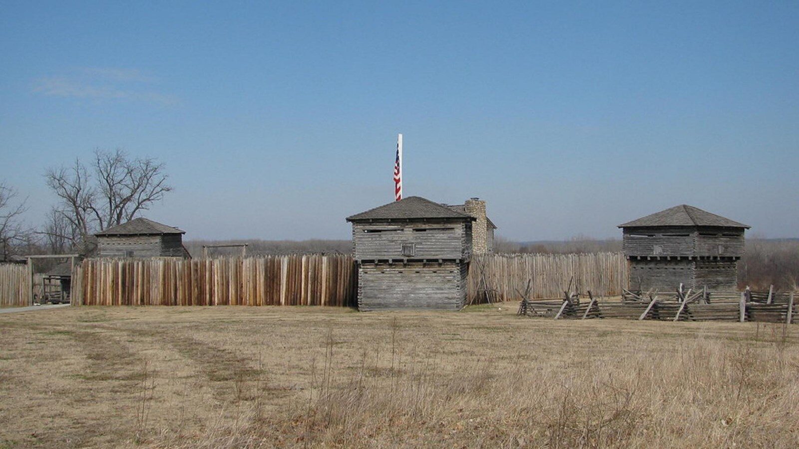
Crooked River Conservation Area
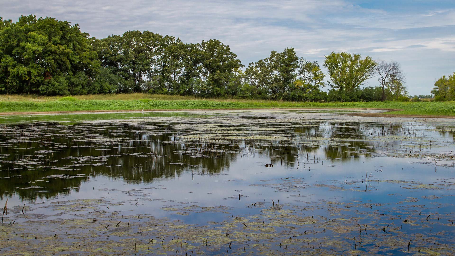
Less than an hour outside of Kansas City, MO, the Crooked River Conservation Area is a beautiful natural area to see a variety of ecosystems. Resting on 1400 acres, the area consists of forests and ponds, hosting a diverse range of species. With a great network of trails, the Crooked River Conservation Area is great for hikes and walks.
There are also individual camp sites available. Please visit their website for more information regarding campsite reservation. Additionally, seasonal hunting is available but please see the website for the full list of regulations.
Distance Unit:
Distance Unit:

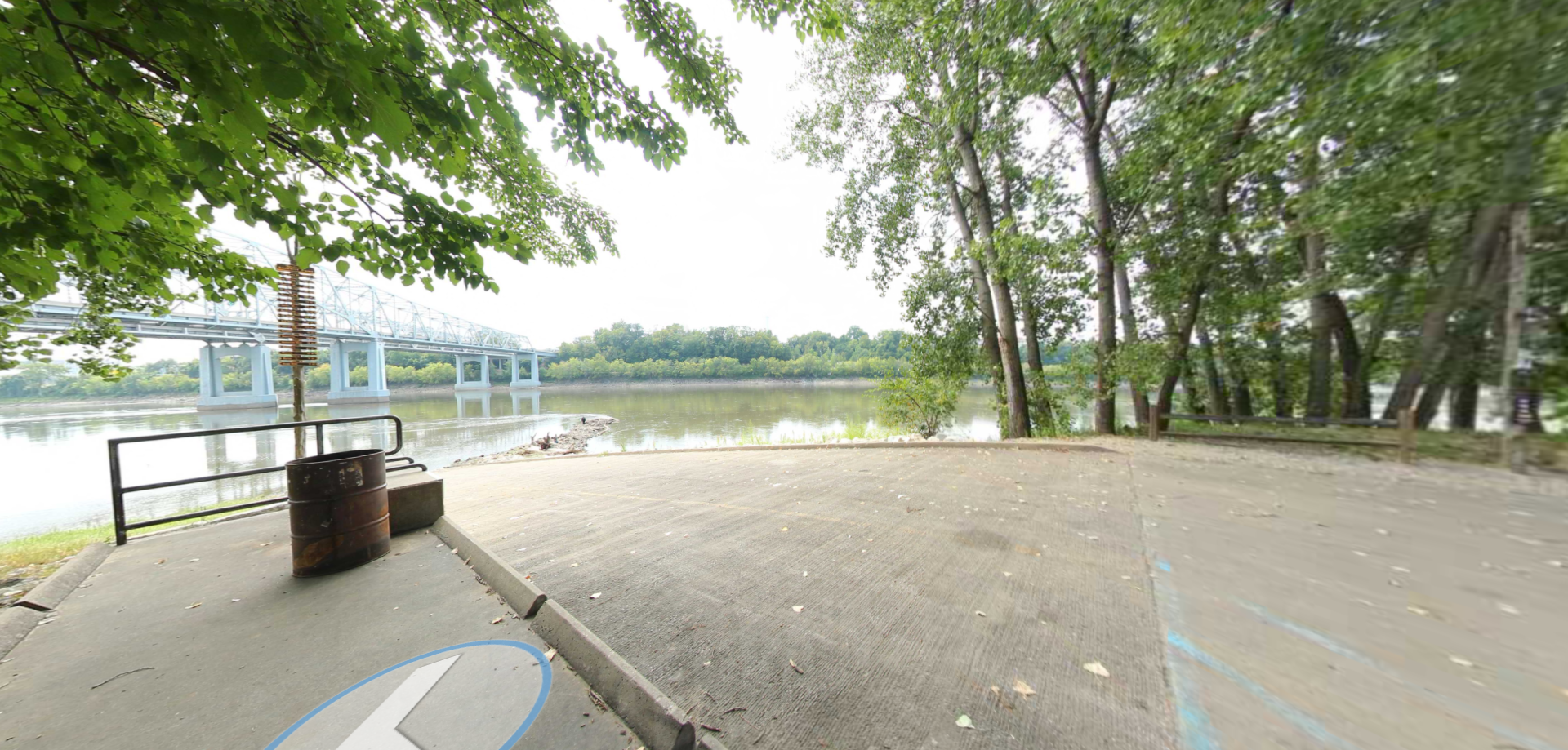
A boat ramp to the beautiful Missouri River with a peaceful view of the river.


A breathtaking viewpoint overlooking the Trail of Tears State Park. Car access is available

A boat ramp that allows visitors to access the Trail of Tears