Palouse Falls
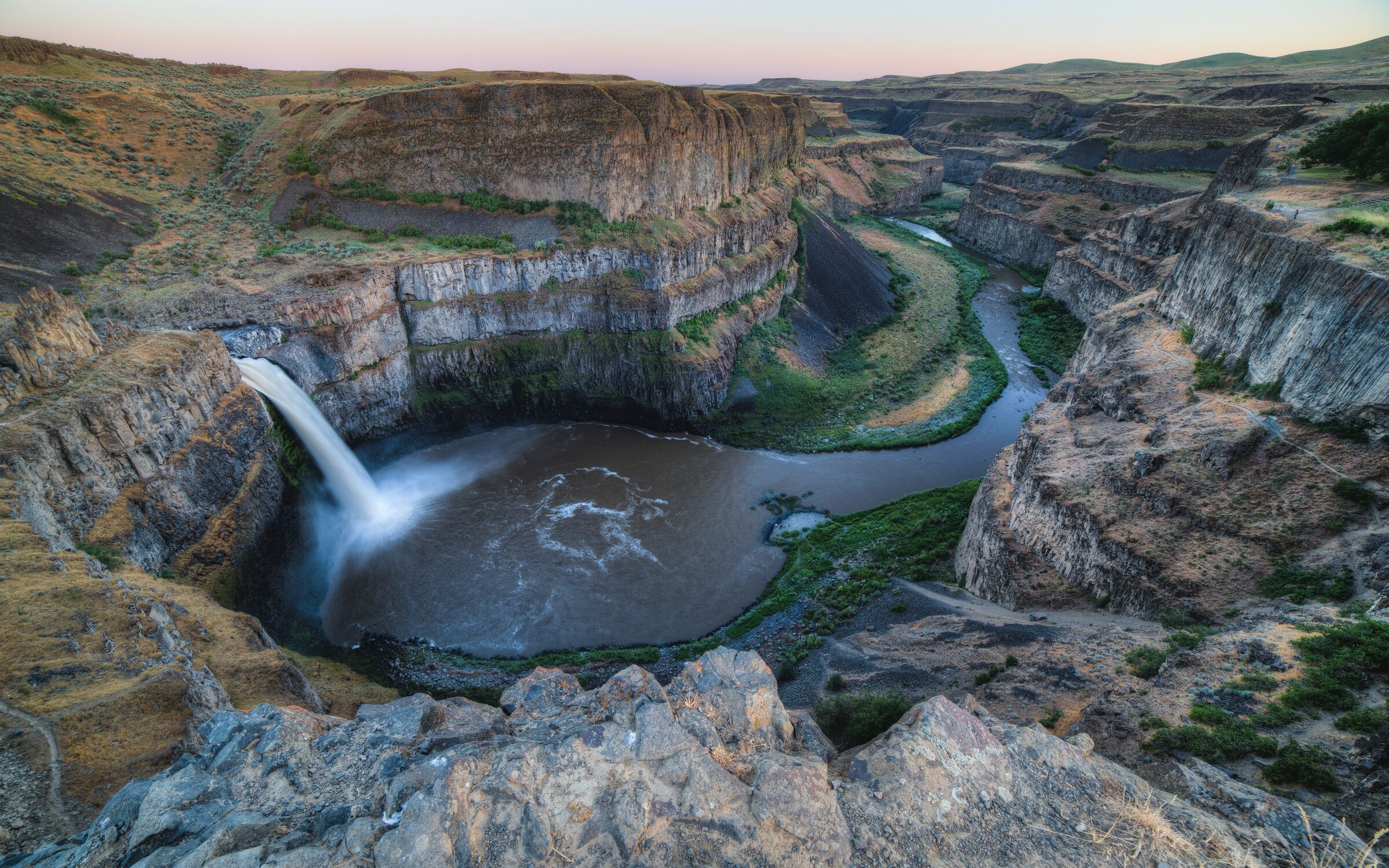
Designated as Washington State’s official waterfall in 2014, thanks to a petition made by local elementary school students, Palouse Falls is a 200 ft waterfall that drops into a churning bowl, before flowing along a massive columnar basalt gorge that was formed during the Missoula Floods of the last great Ice Age. The landscape of golden plains contrasts strongly with the mossy walls and river of the gorge, making it a prime location for landscape photography or painters. The unique geology and historic flood path, both of which are attributed to the last ice age, provide students, geology fans, and history buffs with an incredible chance to learn about how part of the state was formed, and the generational effects that the river and the gorge have had on people in the area.
Palouse Falls State Park, which contains the falls, provides an excellent spot for picnics, wildlife viewing, and interpretation of the area. It is the launching point of many hikes around and into the gorge, all of which vary in difficulty, making it an excellent place for families or more experienced hikers. It is definitely one of the top natural wonders of Washington, and worth a stop if you are traveling in the area.
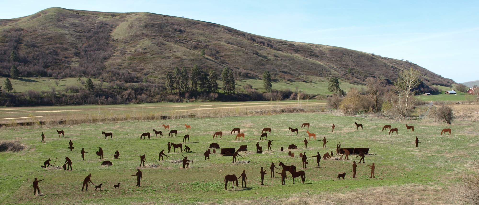
238 Ronan Hill Rd, Dayton, WA 99328, USA
Distance: 25.86 mi (straight line)
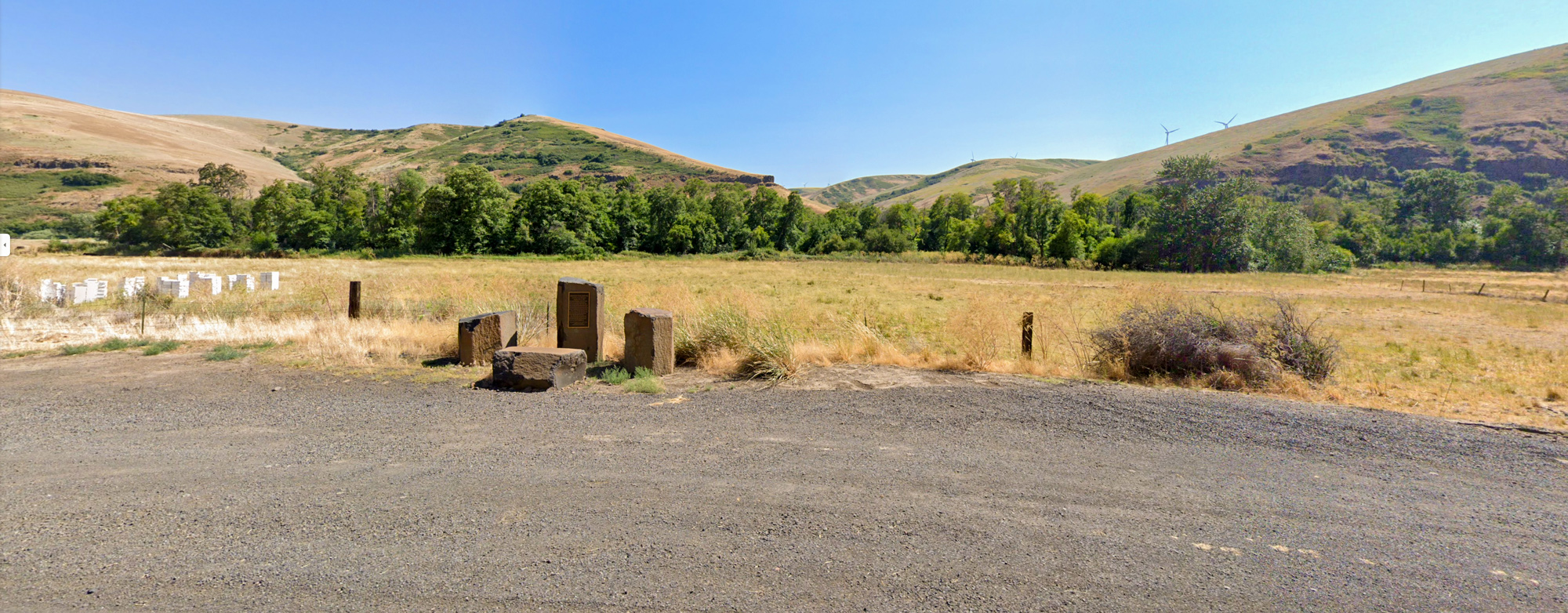
Kimooenim Creek Lunch Site, Washington, USA
Distance: 26.17 mi (straight line)
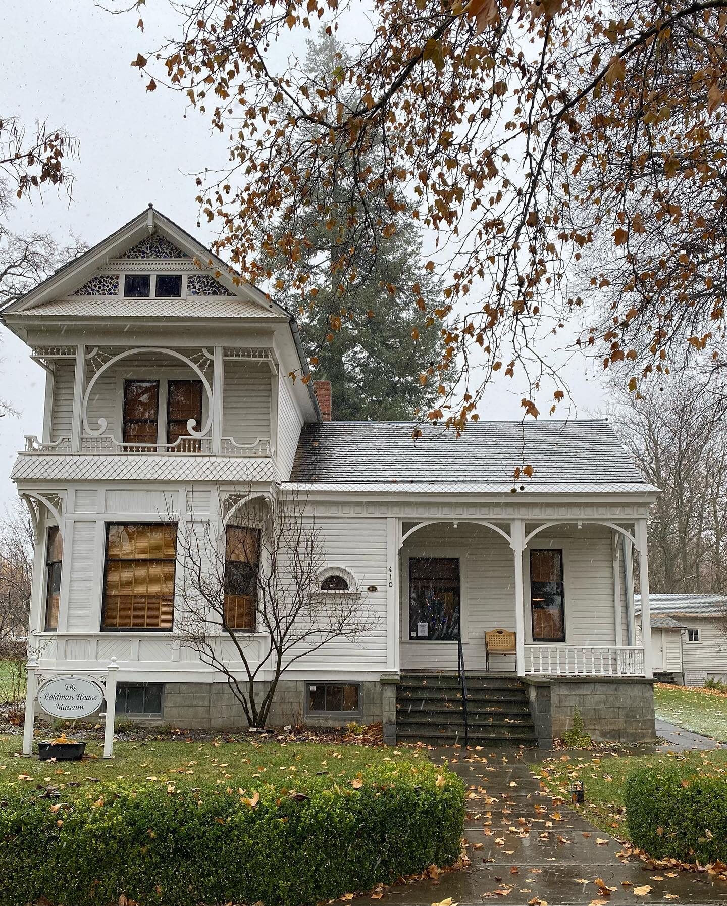
The Boldman House Museum, N 1st St, Dayton, WA, USA
Distance: 26.17 mi (straight line)
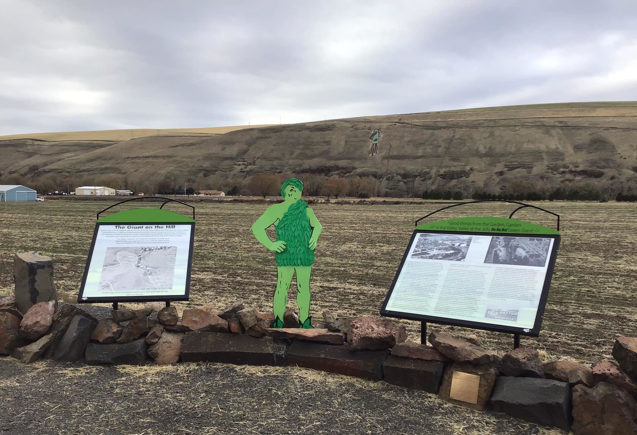
36548 U.S. 12, Dayton, WA 99328, USA
Distance: 26.82 mi (straight line)
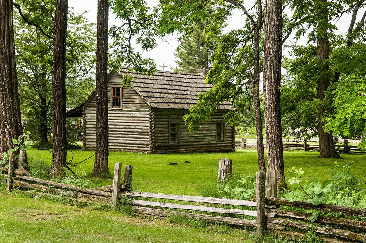
Lewis & Clark Trail State Park, U.S. 12, Dayton, WA, USA
Distance: 26.89 mi (straight line)
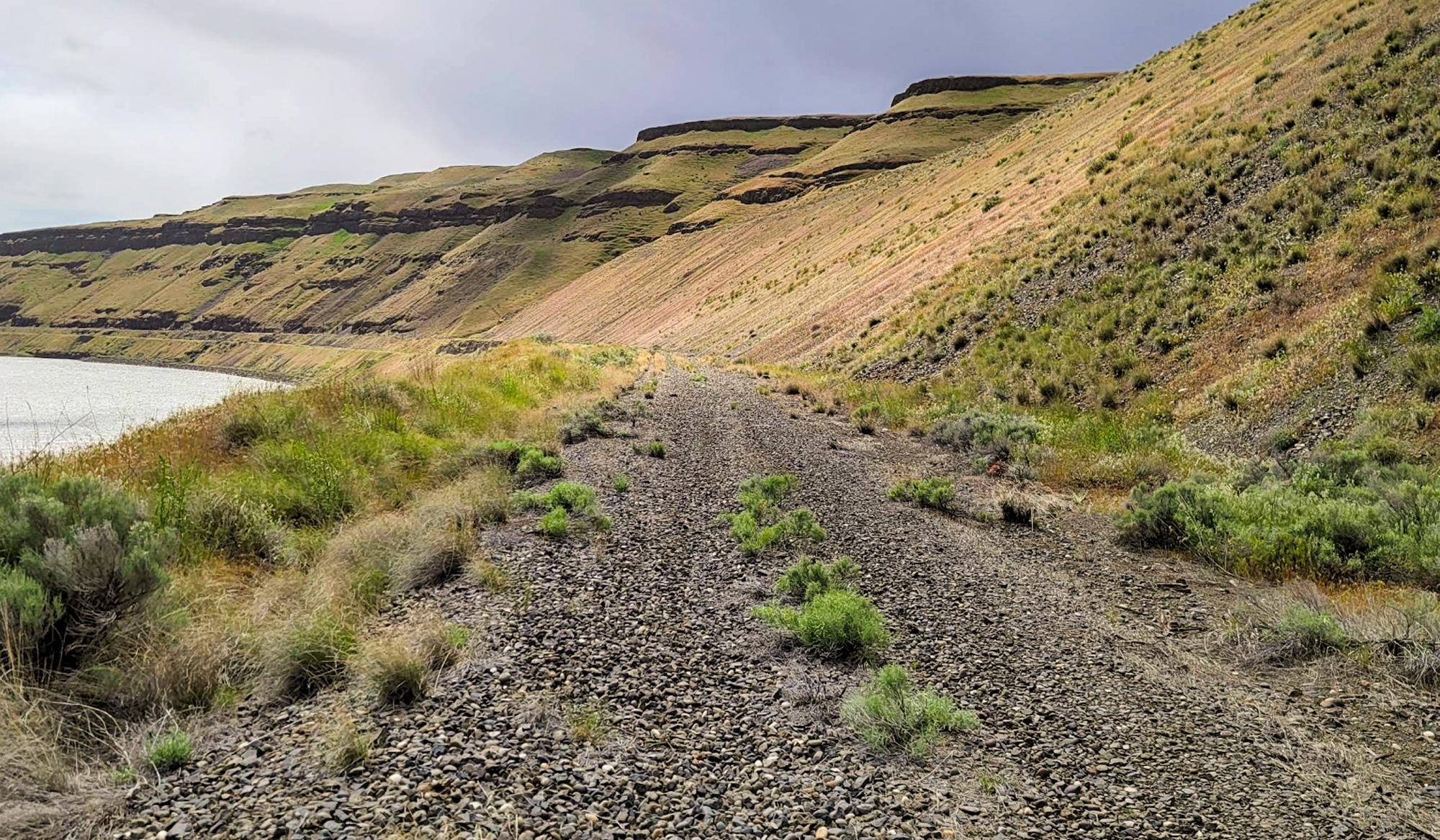
Columbia Plateau Trail, Pasco, WA 99301, USA
Distance: 28.80 mi (straight line)
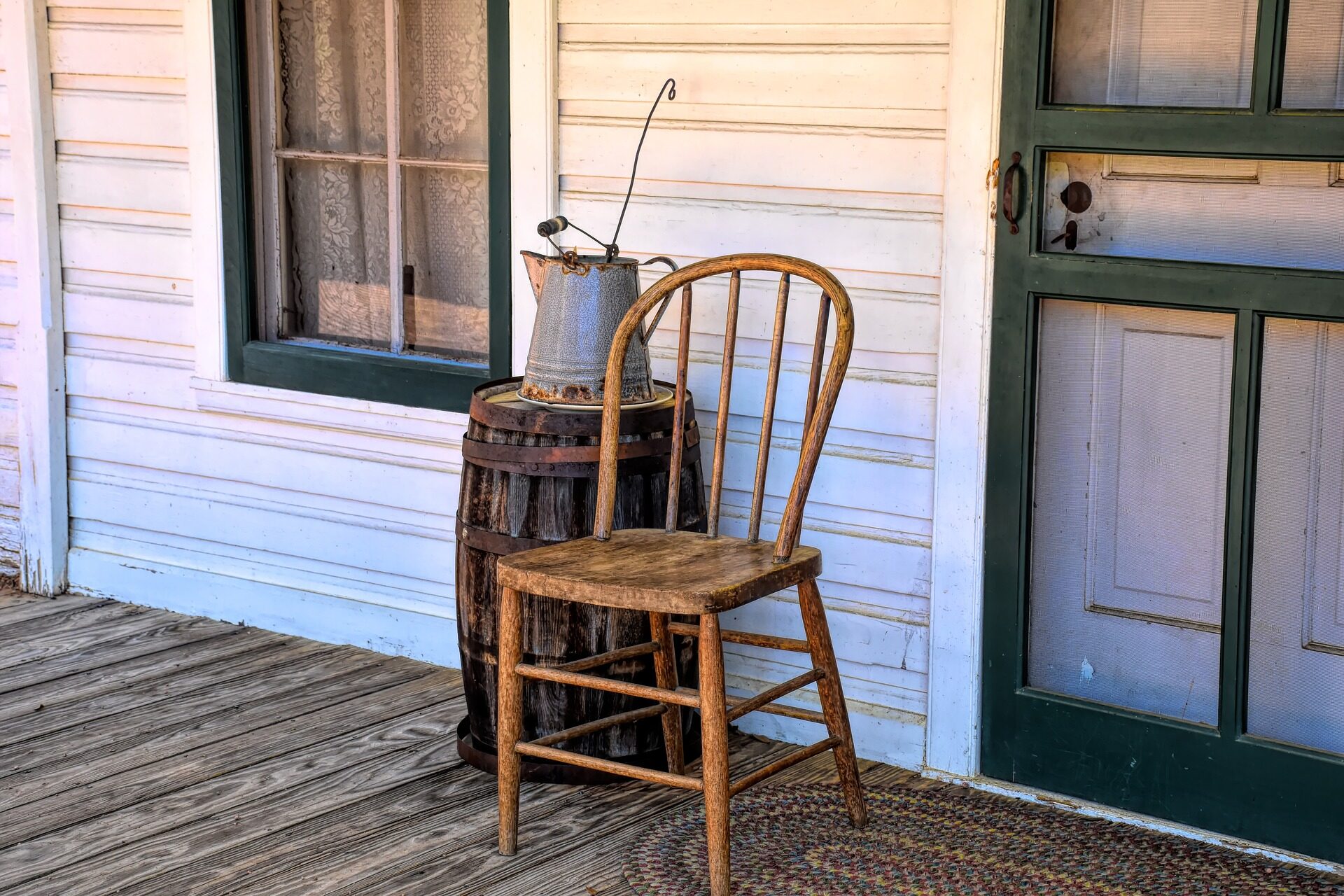
Garfield County Museum, Columbia Street, Pomeroy, WA, USA
Distance: 32.34 mi (straight line)
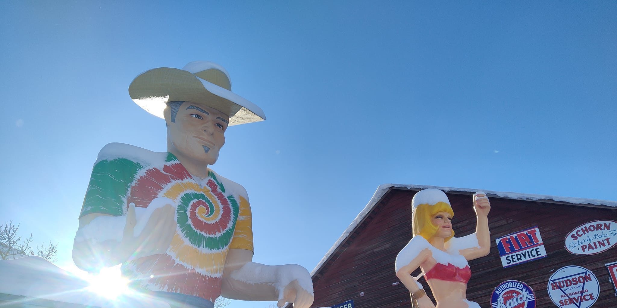
2425 Villard, Pomeroy, WA 99347, USA
Distance: 33.38 mi (straight line)
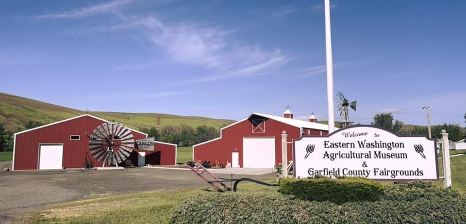
99 Fairgrounds Rd, Pomeroy, WA 99347, USA
Distance: 34.68 mi (straight line)
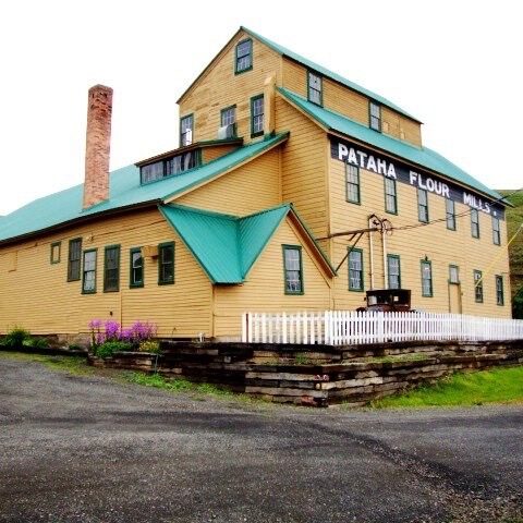
Pataha Flour Mills, Hutchens Hill Road, Pomeroy, WA, USA
Distance: 34.94 mi (straight line)
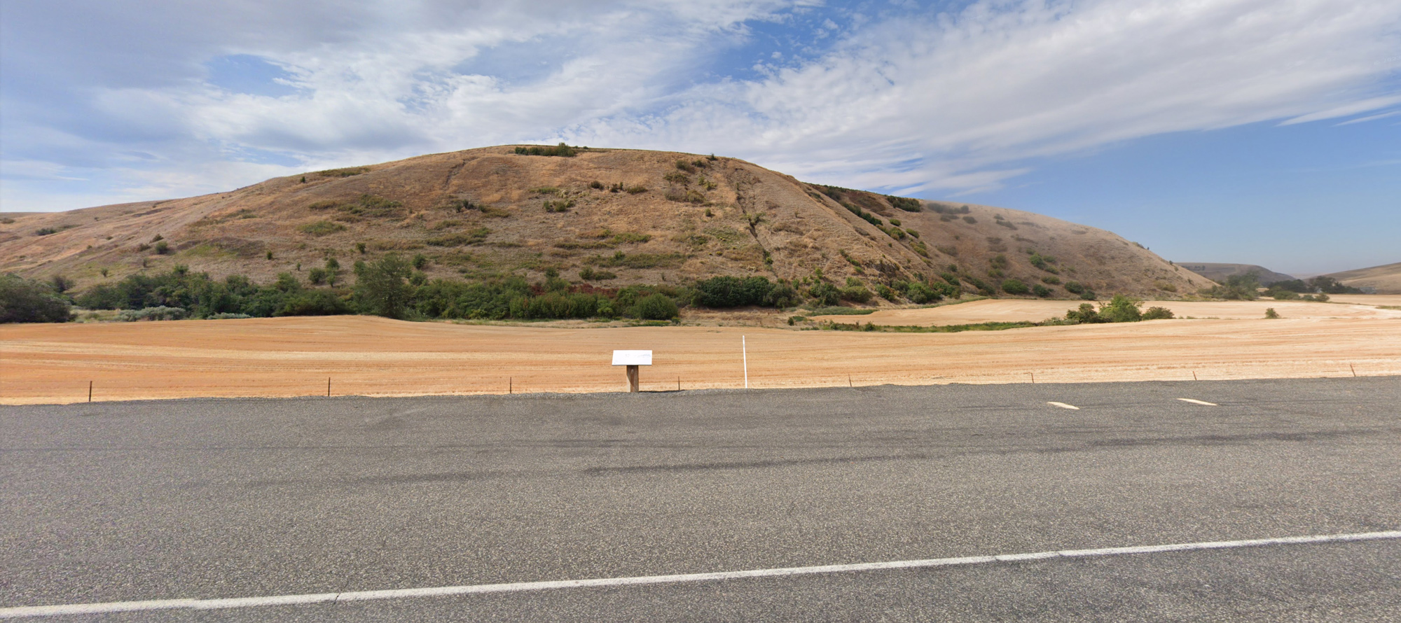
Ancient crossroads, Washington, USA
Distance: 37.97 mi (straight line)
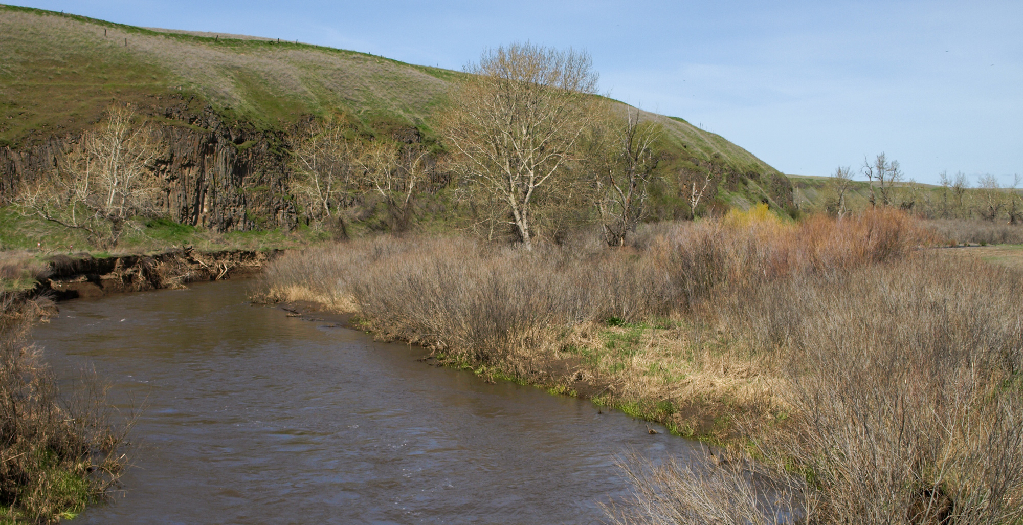
Lewis & Clark Campsite, Touchet River, Touchet North Road, Touchet, WA, USA
Distance: 38.04 mi (straight line)
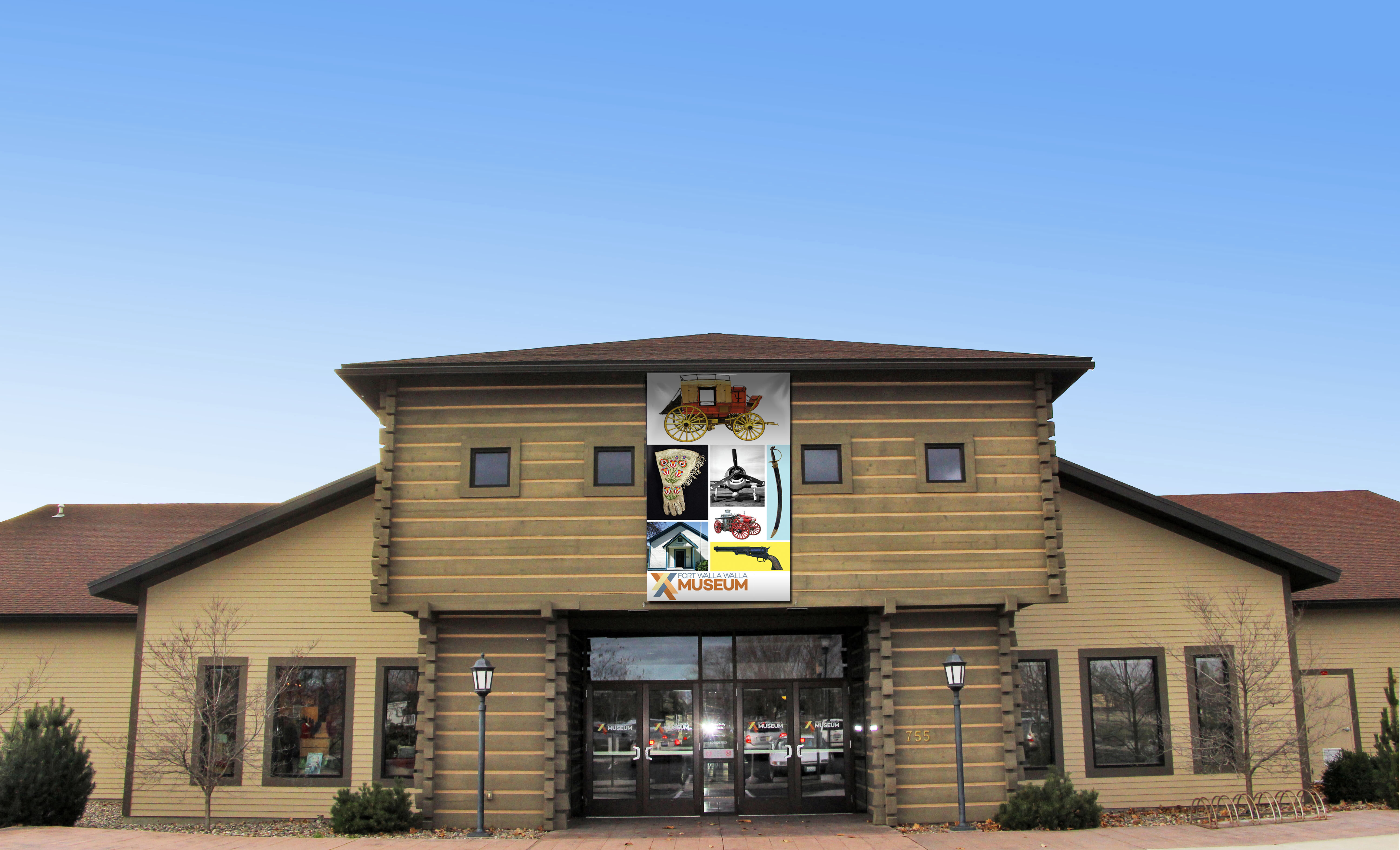
Fort Walla Walla Museum, Northeast Myra Road, Walla Walla, WA, USA
Distance: 43.01 mi (straight line)
Museums and Interpretive Centers Guided Tours Forts LC Features
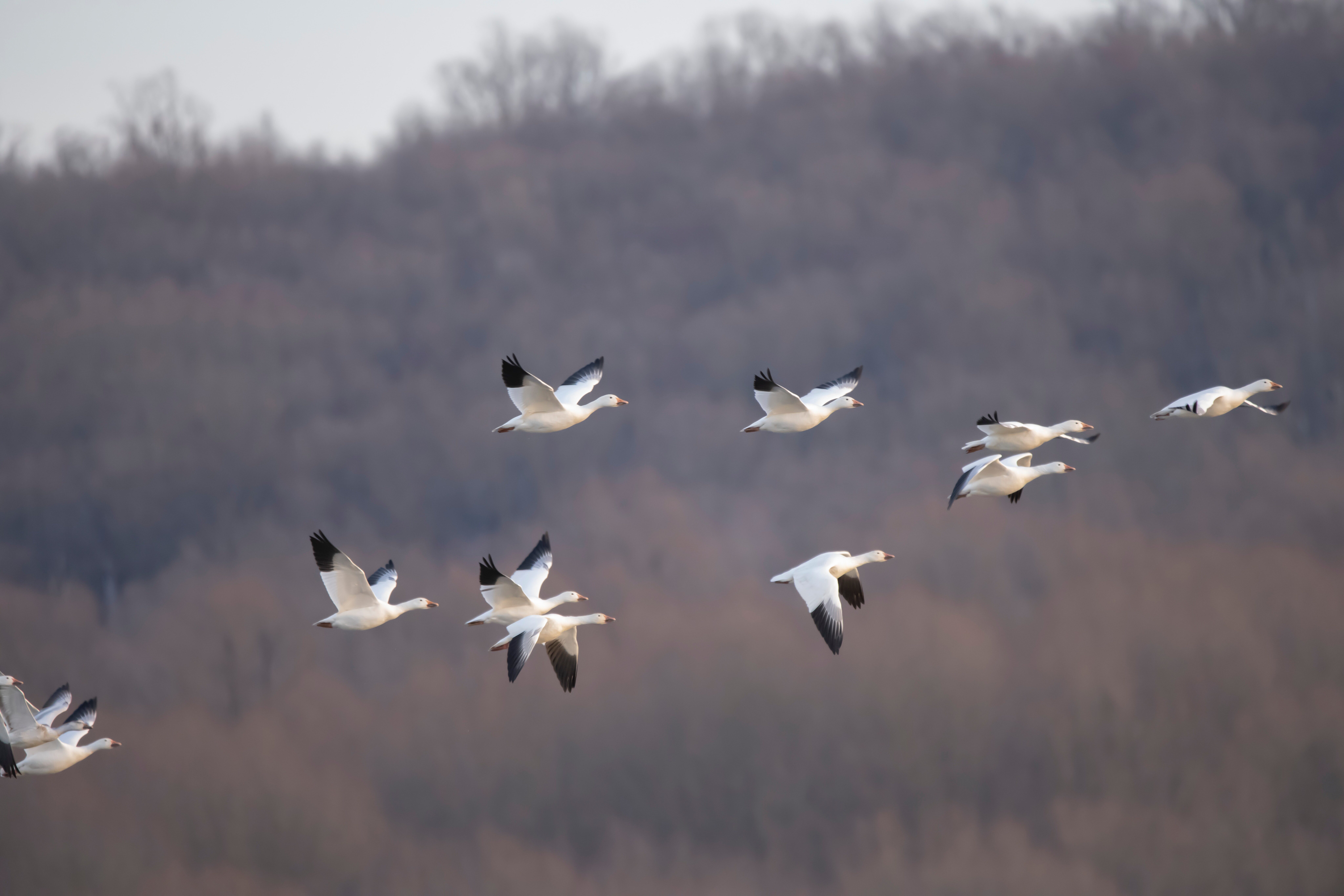
McNary National Wildlife Refuge, Maple Street, Burbank, WA, USA
Distance: 48.63 mi (straight line)
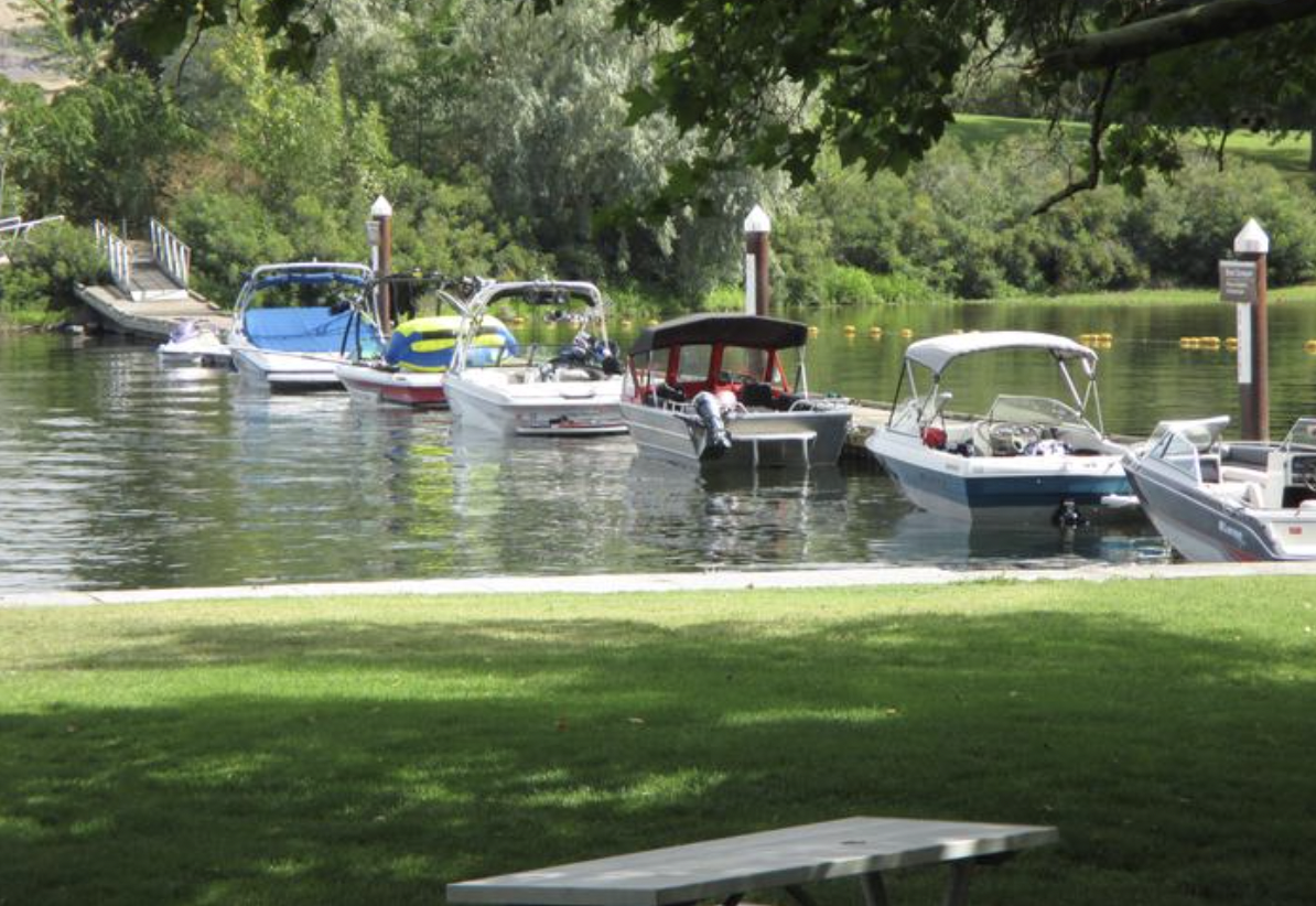
Hood Park, Grain Terminal Road, Burbank, WA, USA
Distance: 48.74 mi (straight line)
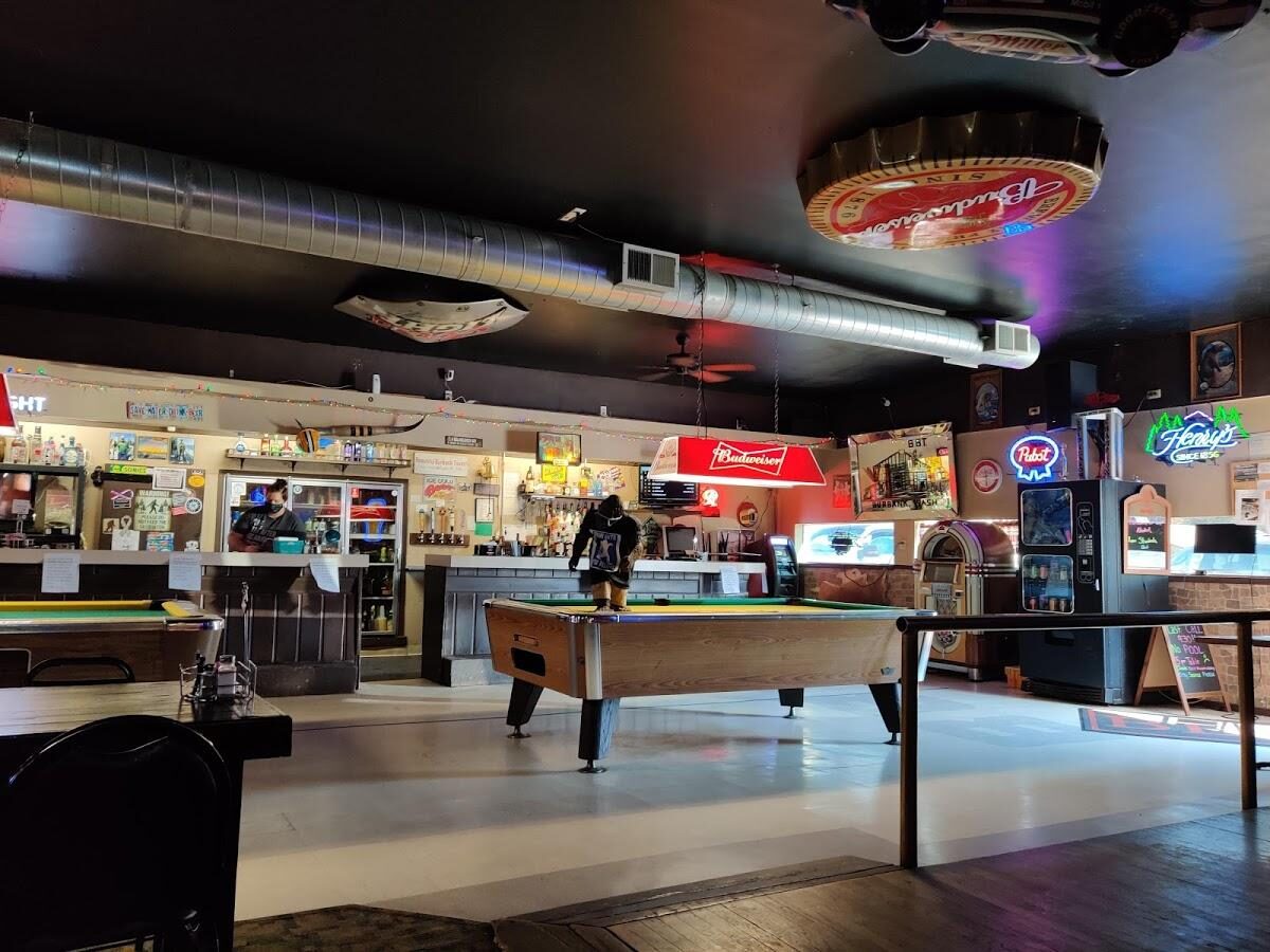
The Beautiful Downtown Burbank Tavern, South 2nd Street, Burbank, WA, USA
Distance: 49.57 mi (straight line)
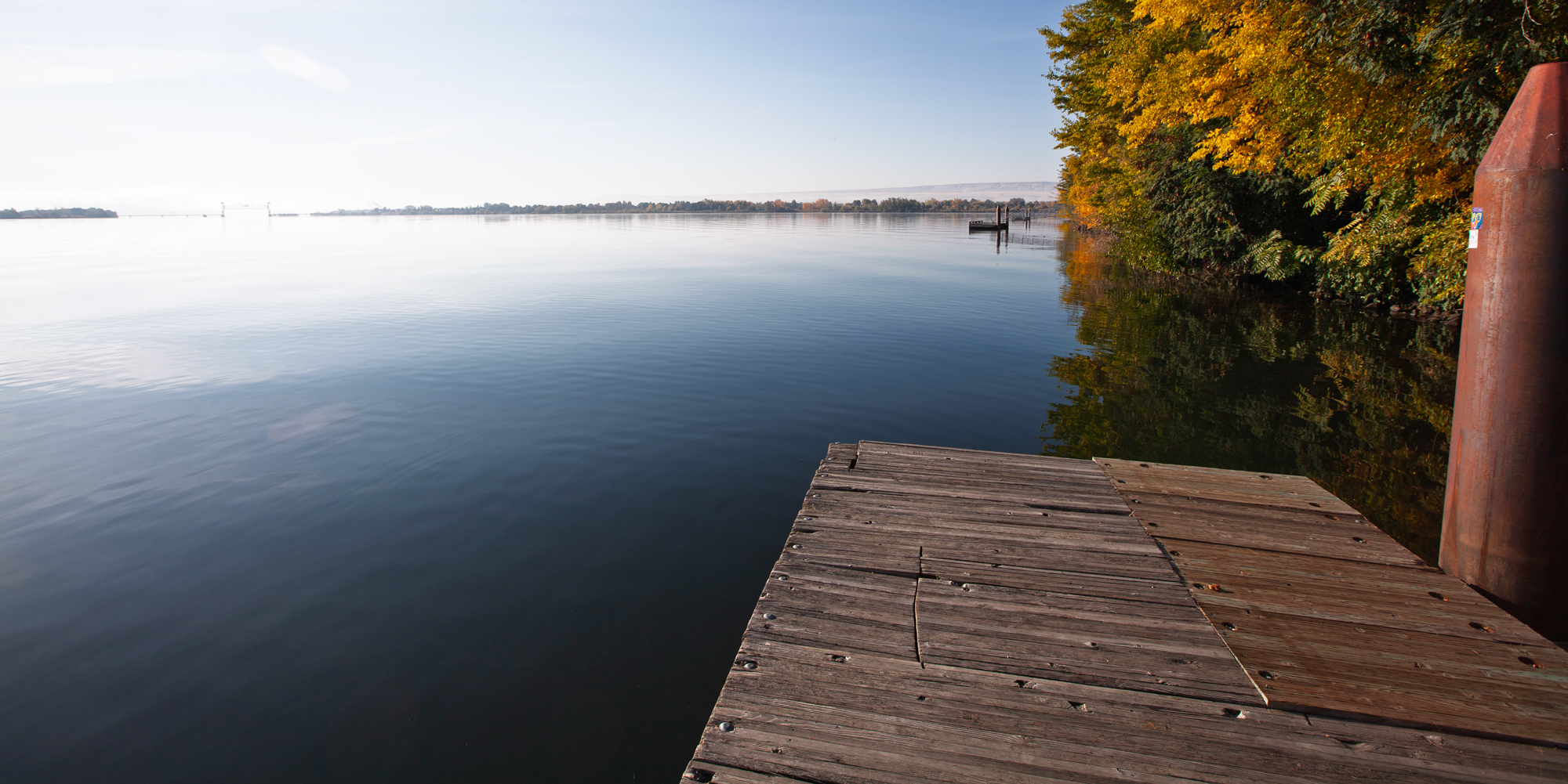
Sacajawea Historical State Park, Sacajawea Park Road, Pasco, WA, USA
Distance: 50.34 mi (straight line)
Walks and Hikes Museums and Interpretive Centers Outdoor Experiences LC Features
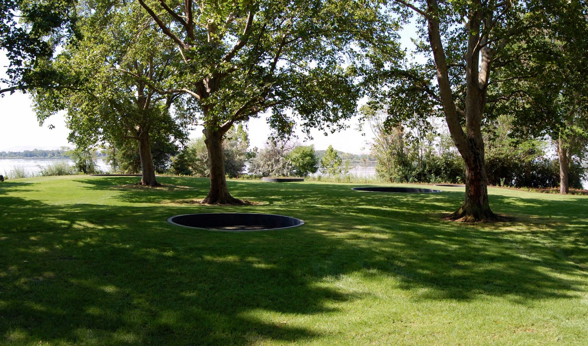
2503 Sacajawea Park Rd, Pasco, WA 99301, USA
Distance: 50.41 mi (straight line)
Our bi-weekly newsletter provides news, history, and information for those interested in traveling along along the Lewis & Clark Trail.