Villainous Grounds Coffee Shop
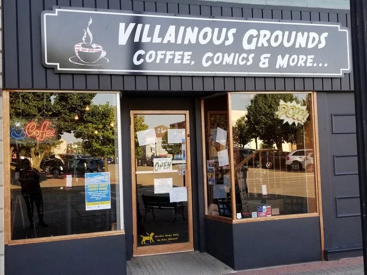
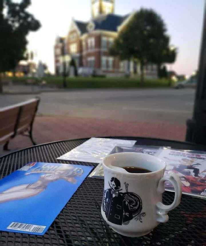
If you ever find yourself in Downtown Perryville, Missouri while on the trail come visit the Villainous Grounds Coffee Shop. We offer an extensive menu of coffee, tea and pastries. Whether you want a classic brewed coffee, a “Mean Bean” Nitro, or a nice chocolate truffle, this place has it all. Make sure to also check out our flavored syrups schedule if you want to catch up on your favorite syrups, such as cherry and butterscotch between December and February, or pumpkin spice and shortbread between September and November. We also have an extensive tea list of all your favorite teas. Feel free to check out more on our website.
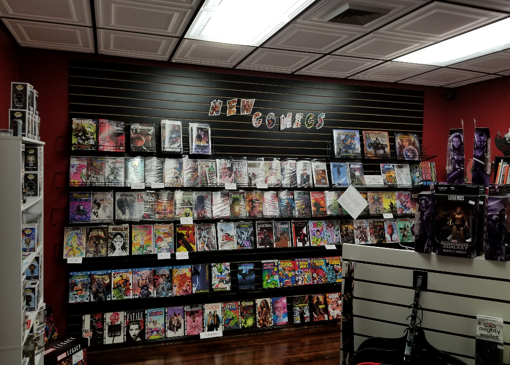
The first floor of our building houses a full espresso bar coffee shop with lots of seating, both inside and out. We have three rooms of comic books and related merchandise on the second floor along with sitting rooms and the work of local authors and artisans.
Great atmosphere to meet with friends or grab a cup on the go! WiFi available. Come in and browse, relax with friends, or grab a cup to go. You never know who you’ll run into!


Distance Unit:
Distance Unit:


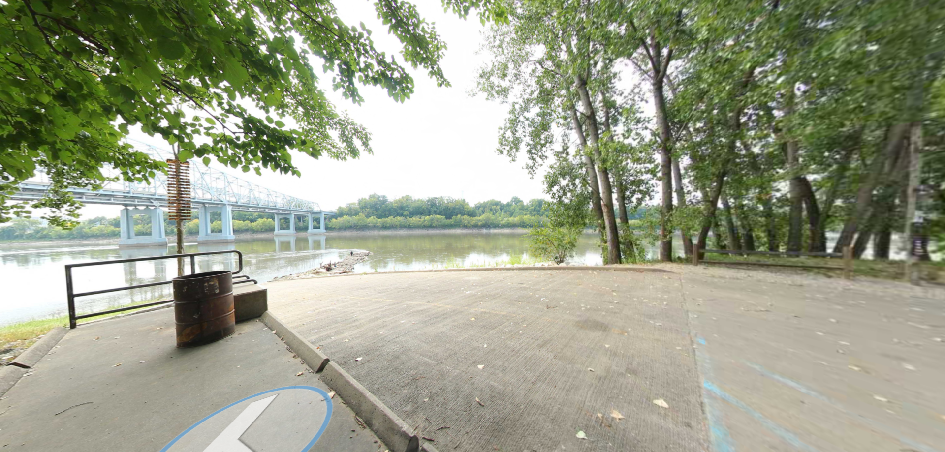
Here, nine Cherokee Indian groups braved harsh winter conditions while crossing the Mississippi River in 1838-1839, marking a sorrowful chapter in American history. The park also has: shaded picnic sites, hiking and horse trails, opportunities to fish…

A boat ramp that allows visitors to access the Trail of Tears