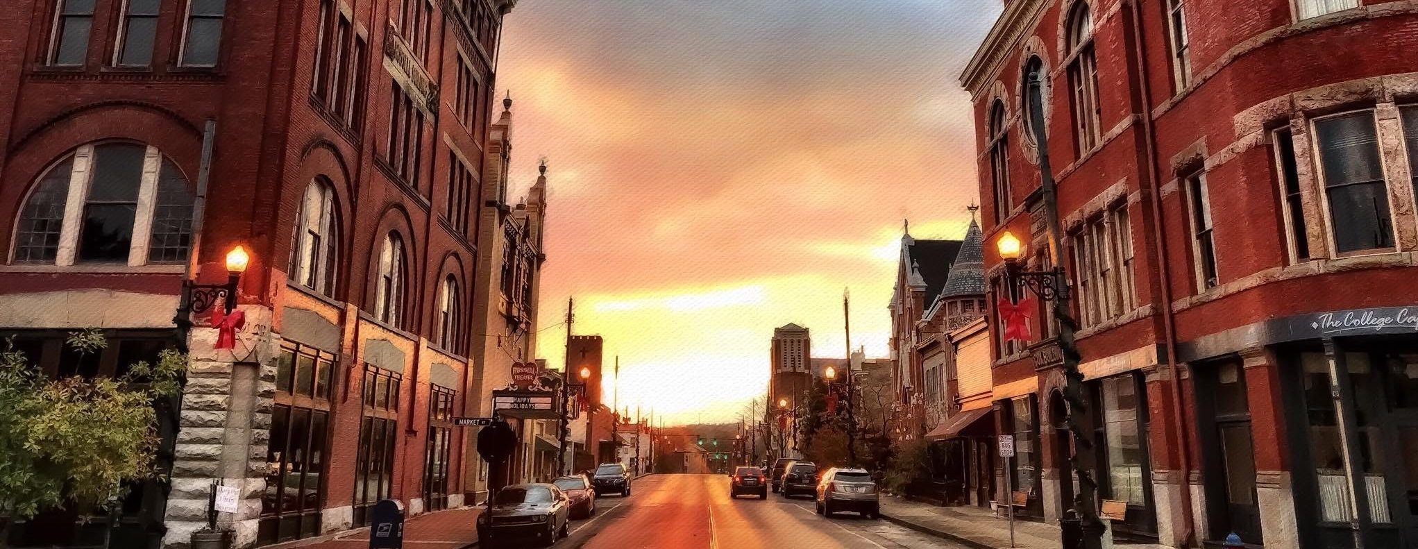
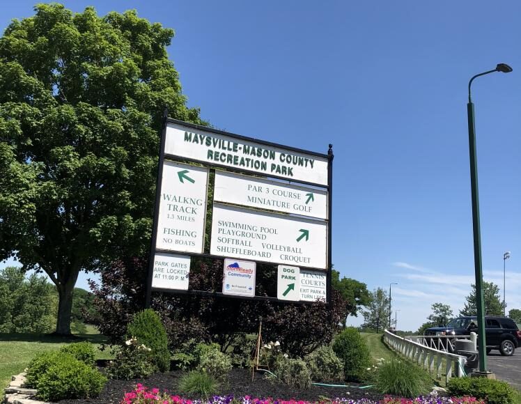
Maysville-Mason County Recreation Park
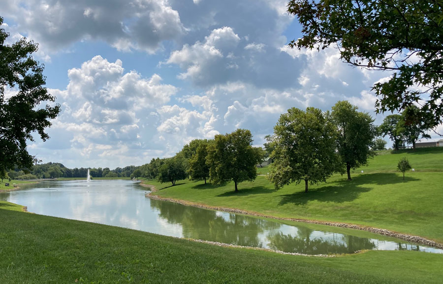
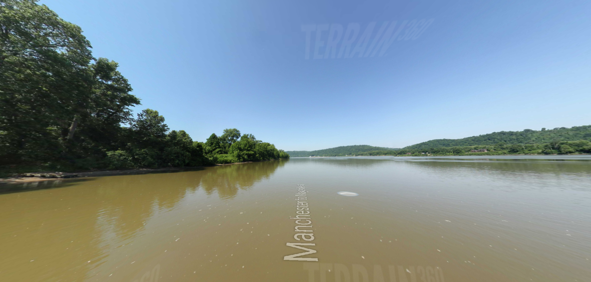
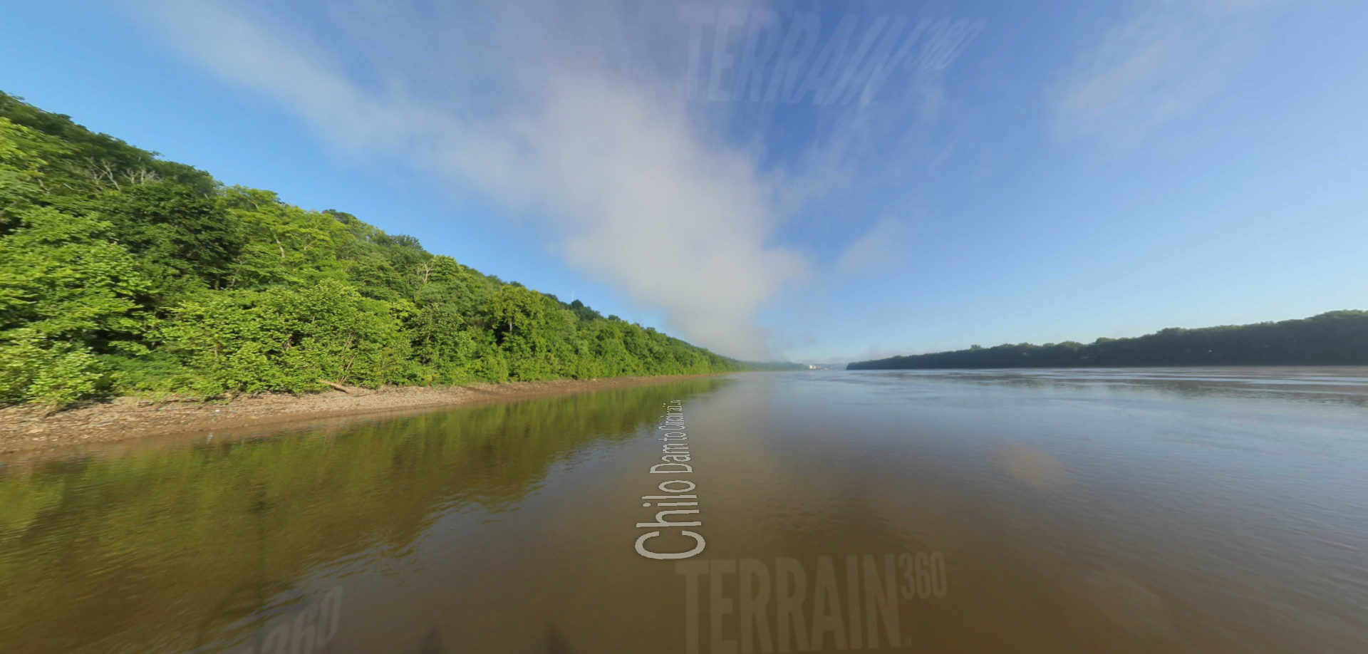
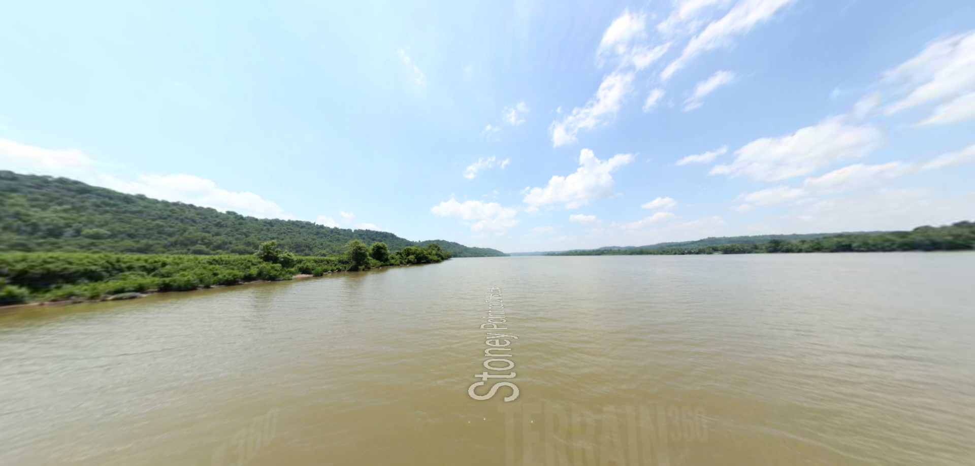
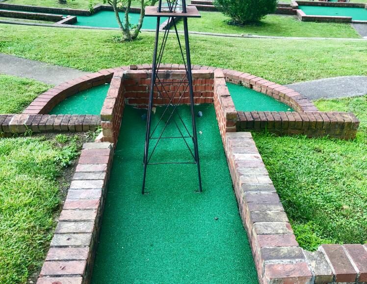
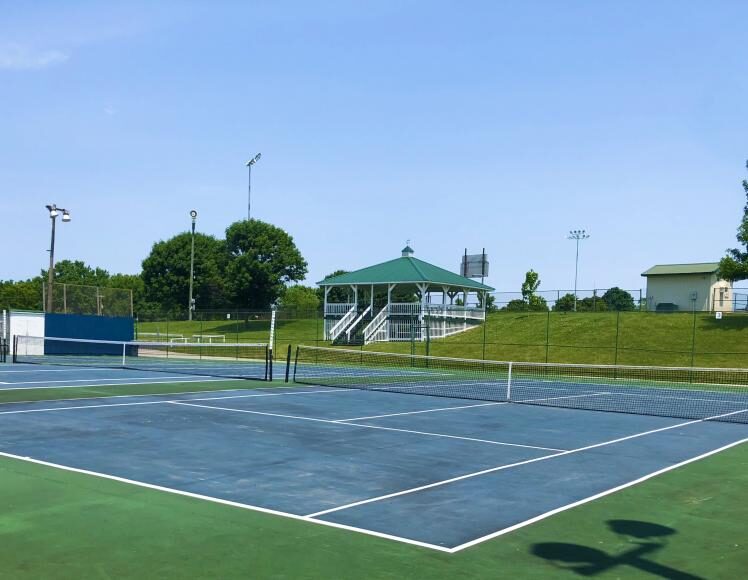
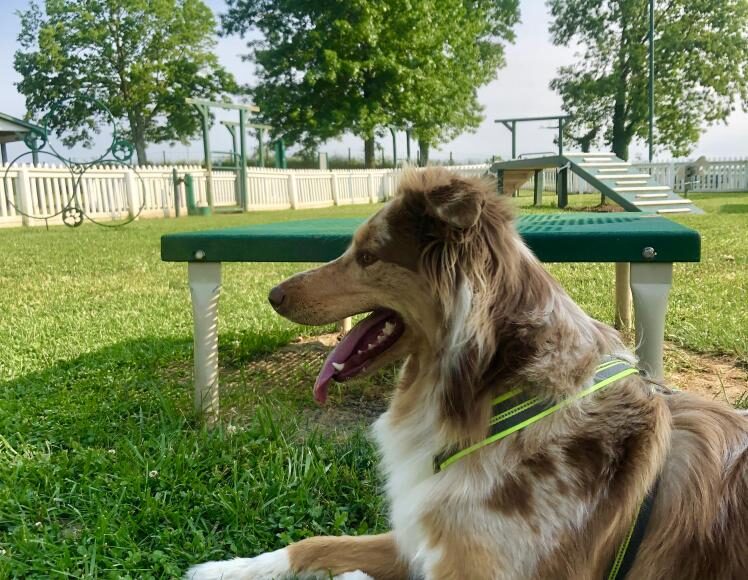
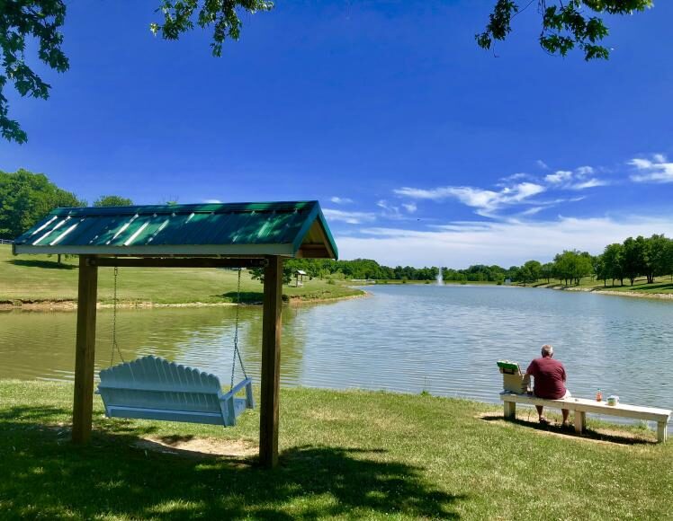
If you’re looking for that relaxing spot where you can get away from it all and still enjoy having your family around you, then we’ve got what you’re looking for! The largest park in Maysville and built in 1971, located just outside the pioneer village of Old Washington, is a 57-acre space with a swimming facility, a dog park, a par-three golf course, putt-putt golf, three tennis courts, two softball fields, four picnic shelters with grills and electric, several playgrounds, and a one-mile walking trail. The park also offers sand volleyball and corn hole, all equipment furnished. Maysville-Mason Co Recreation Park has a beautiful well-stocked 15-acre lake that is surrounded by manicured lawns, walking trails, and a 9-hole par 3 golf course. Fishing at the lake is permitted with a valid Kentucky fishing license. All situated within 61 acres of serenity. The park gates are open from dawn till 11 p.m. Access to the lake walking/driving trail is not restricted. Families and friends like to come together at the Maysville-Mason County Recreation Park where they can have fun without being lost in a crowd. Large groups are welcome and encouraged.
You can feel safe knowing your children will have the luxury of swimming in an Olympic size pool, playing in the playground, or enjoying a putt-putt game of golf with a newly made friend.
All amenities at the Maysville-Mason County Recreation Park are listed below:
– Olympic size swimming pool – 15 Acre fishing lake
– 2 Softball fields
– 3 Tennis courts
– Concessions
– PA system
– Electronic scoreboard
– Restrooms
– Locker rooms
– 1.1-mile walking path
– 4 Picnic shelters with grills & electric (cap.100-300)
Equipment free rental:
– Volleyball
– Shuffleboard
– Croquet
Distance Unit:
Distance Unit: