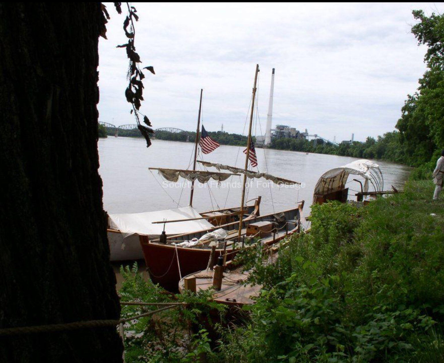
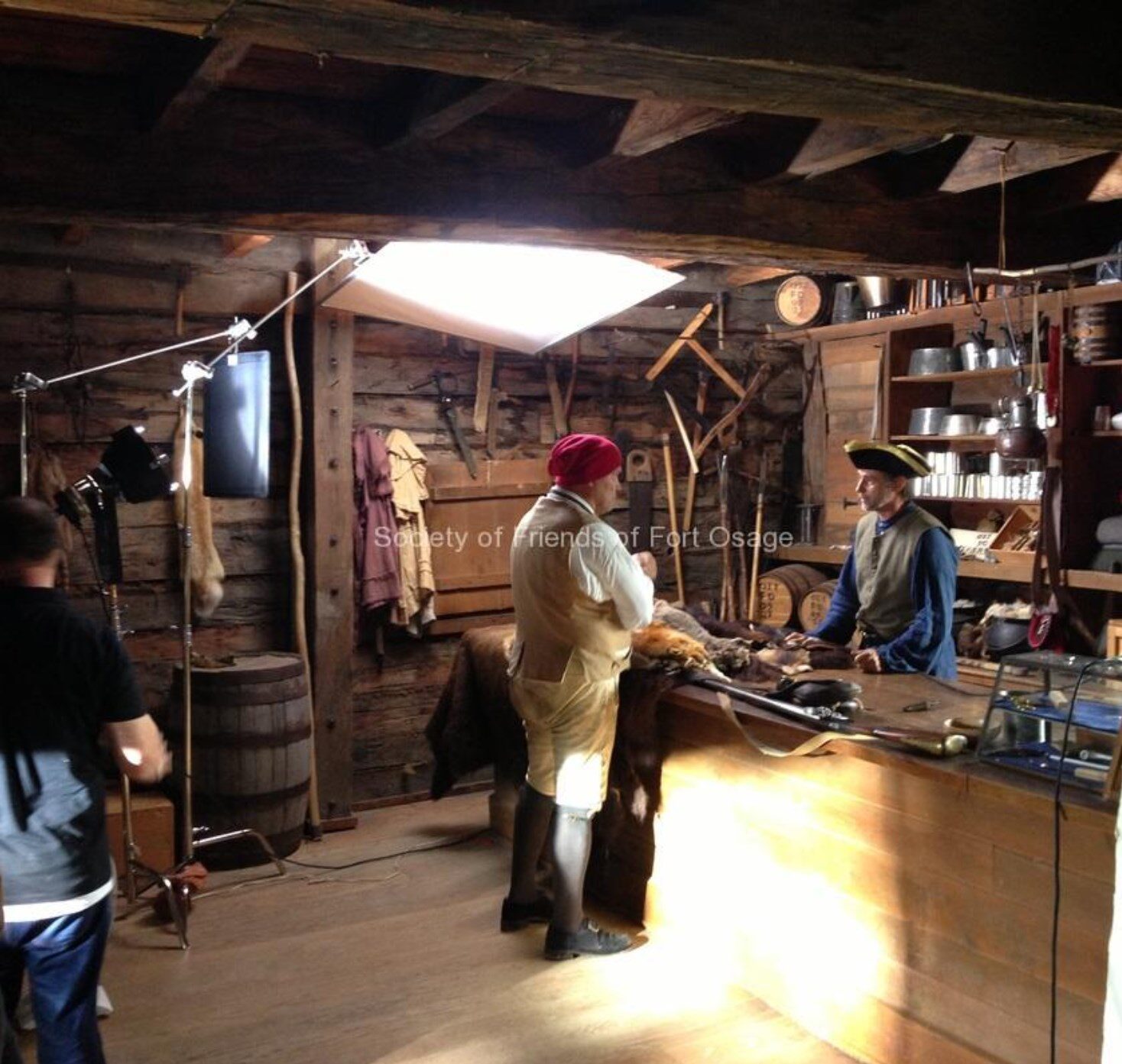
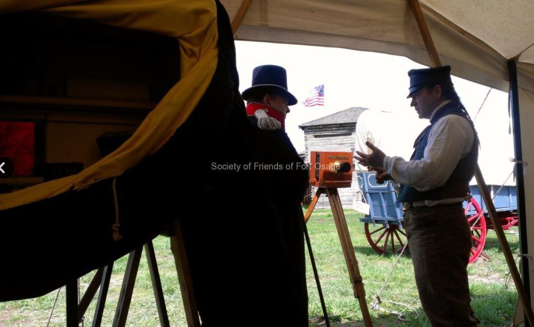
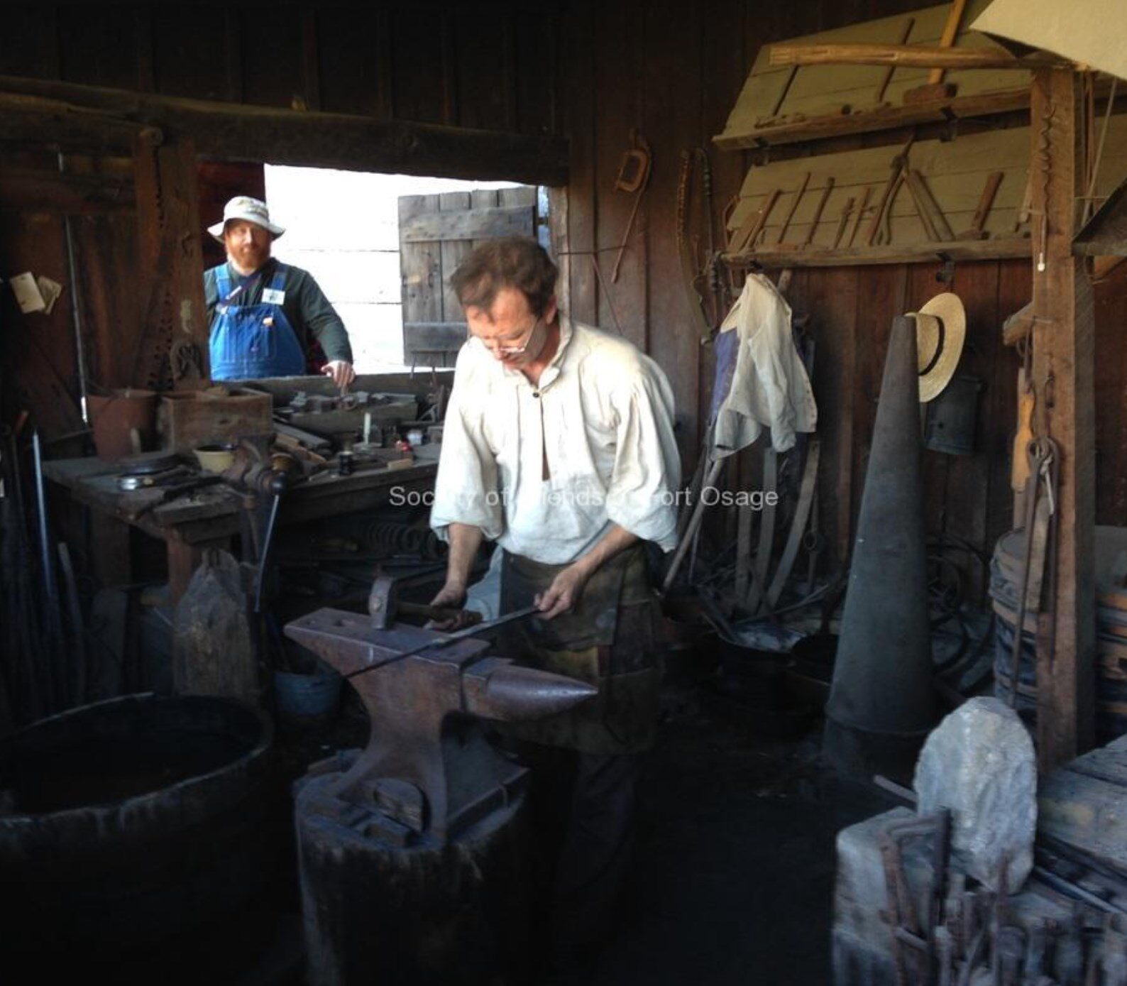
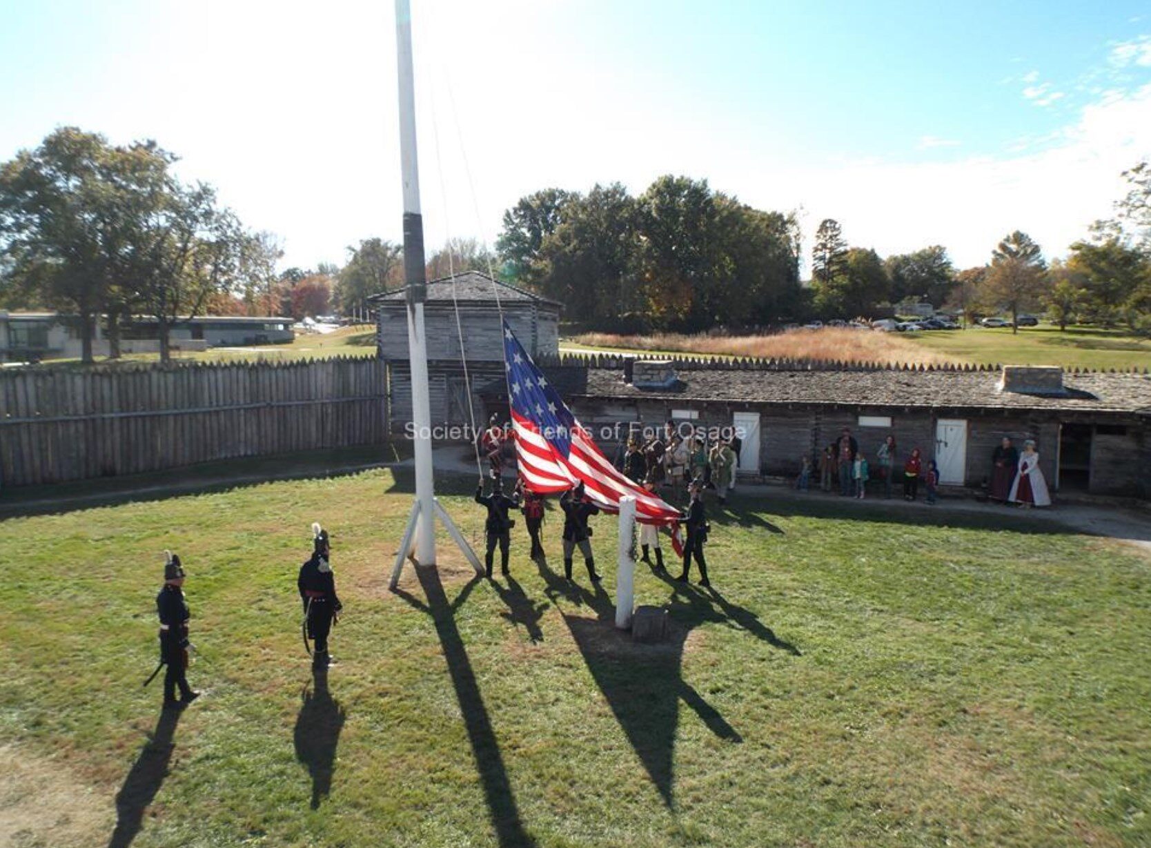
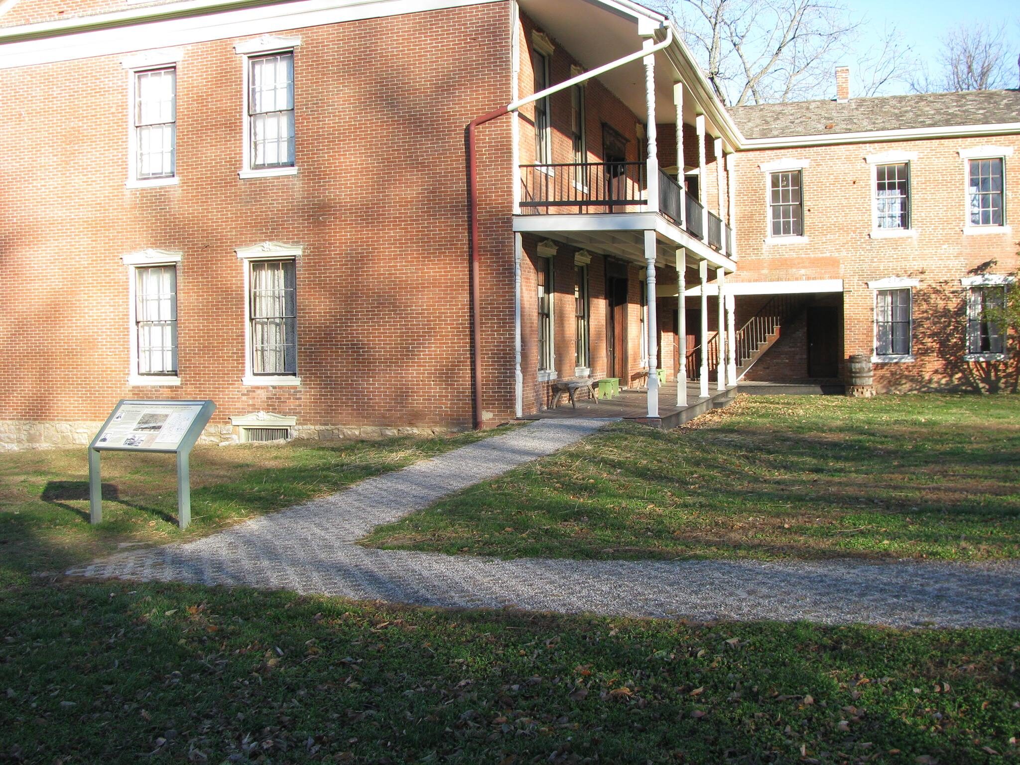
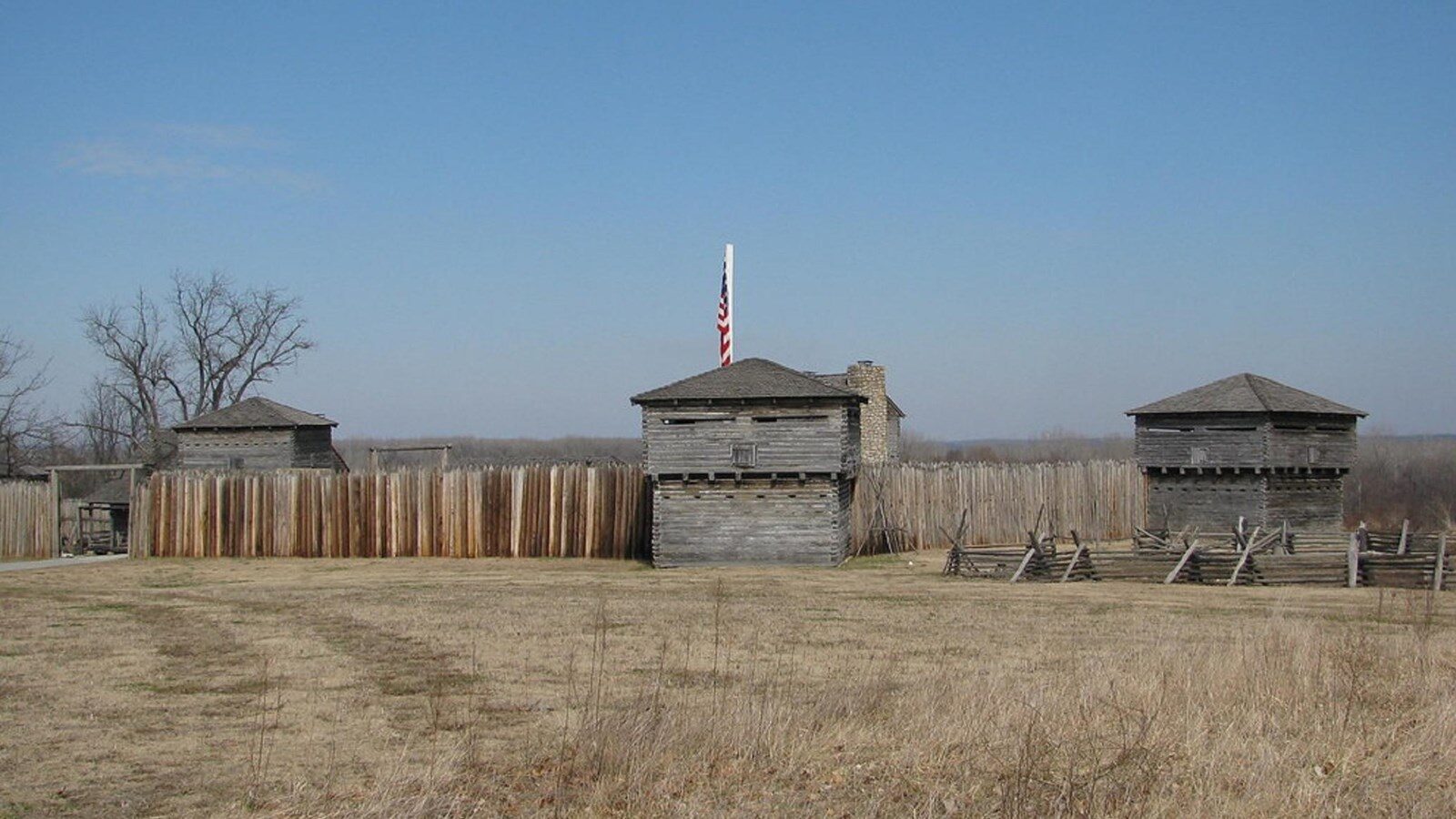
Fort Osage National Historical Landmark
Arts and Culture
History
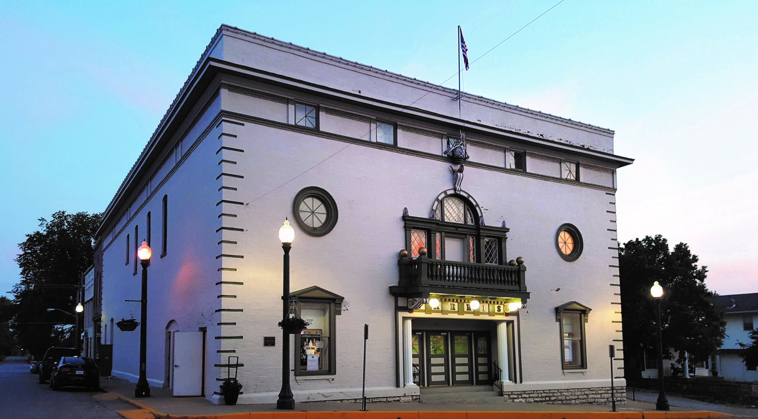
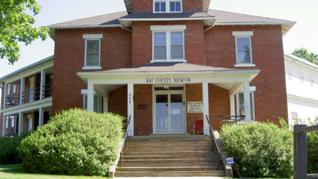
Museum, Theatre, or Intrepretive Center
107, Osage Street
Sibley
Missouri
64088