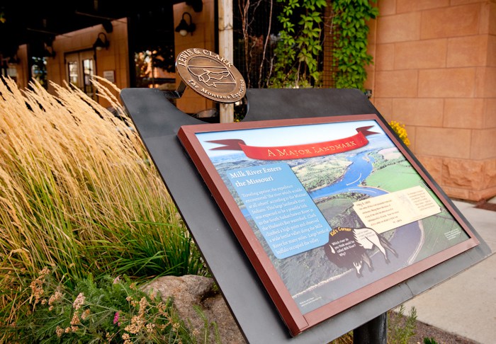
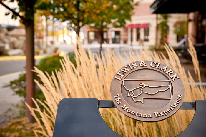
Lewis & Clark Interpretive Experience
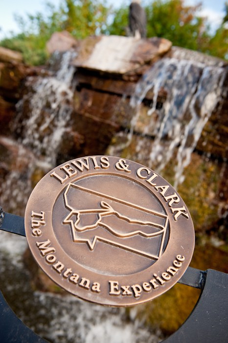
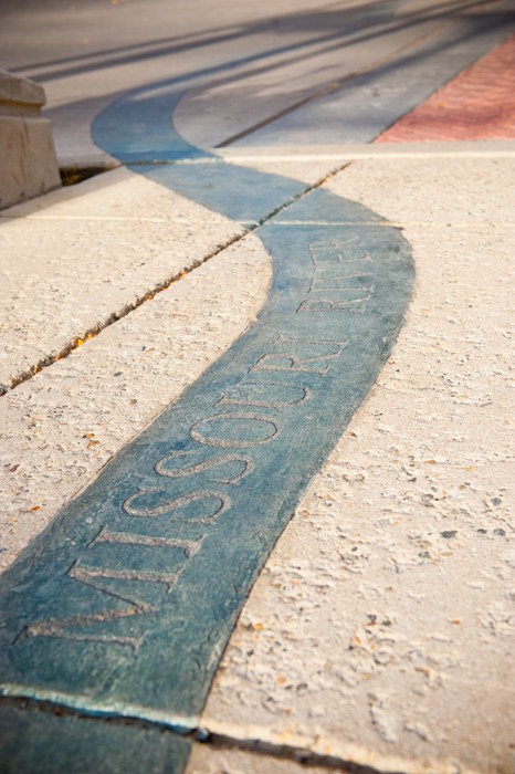
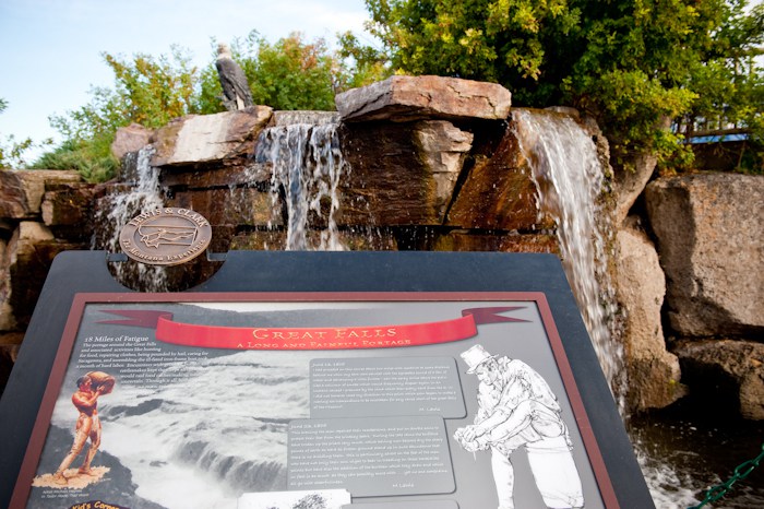
Journey back to the early 1800s and retrace the footsteps of Lewis & Clark as they journeyed through Montana. See what the Corps of Discovery saw as they traveled by foot over scenic mountains and by boat through the clear waters. Follow an etching of the Missouri River along one side of the pedestrian plaza and the Yellowstone along the other side, experiencing several of the journey’s highlights along the way.
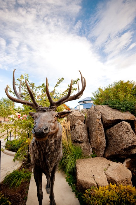
This permanent outdoor exhibit located at the Great Northern Town Center is a cooperative project with Lewis & Clark Trail Commission. Visitors to this exhibit will enjoy and learn about 19 historical sites from Montana’s Lewis & Clark Trail such as the Gates of the Mountains, Pompeys Pillar, Great Falls/Portage and the Three Forks of the Missouri. Enormous boulders, for example, form the Interpretive Exhibit’s version of Pompeys Pillar, complete with bison prints and a replica of Clark’s signature. The easy interpretive signage will guide you on your journey of Lewis & Clark’s Montana Experience.
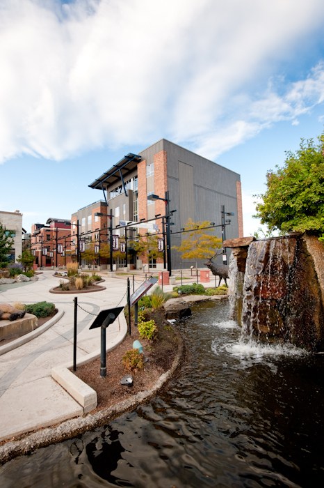
The outdoor exhibit is surrounded by restaurants, a carousel, a coffee shop, a children’s science museum, a cinema, shopping and the Best Western Premier Great Northern Hotel.
Distance Unit:
Distance Unit:


The Blackfoot River, sometimes called the Big Blackfoot River to distinguish it from the Little Blackfoot River, is a snow-fed and spring-fed river in western Montana.