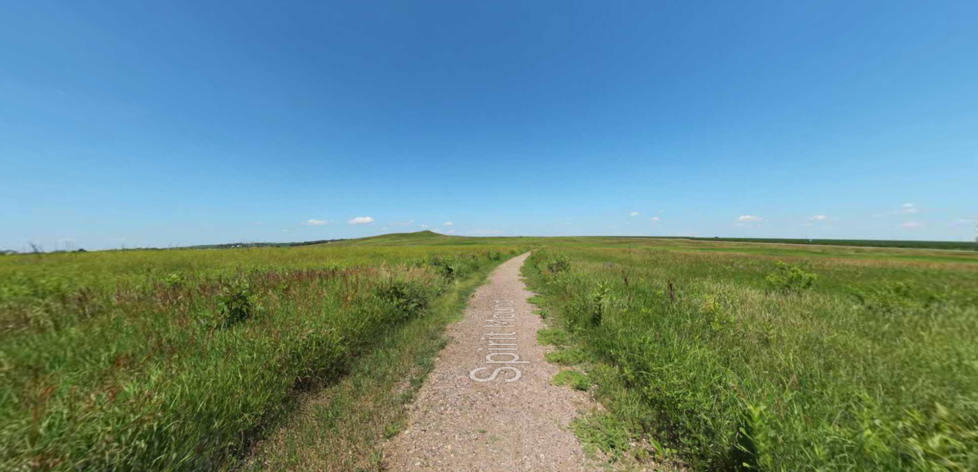
Lewis and Clark Interpretation Trail
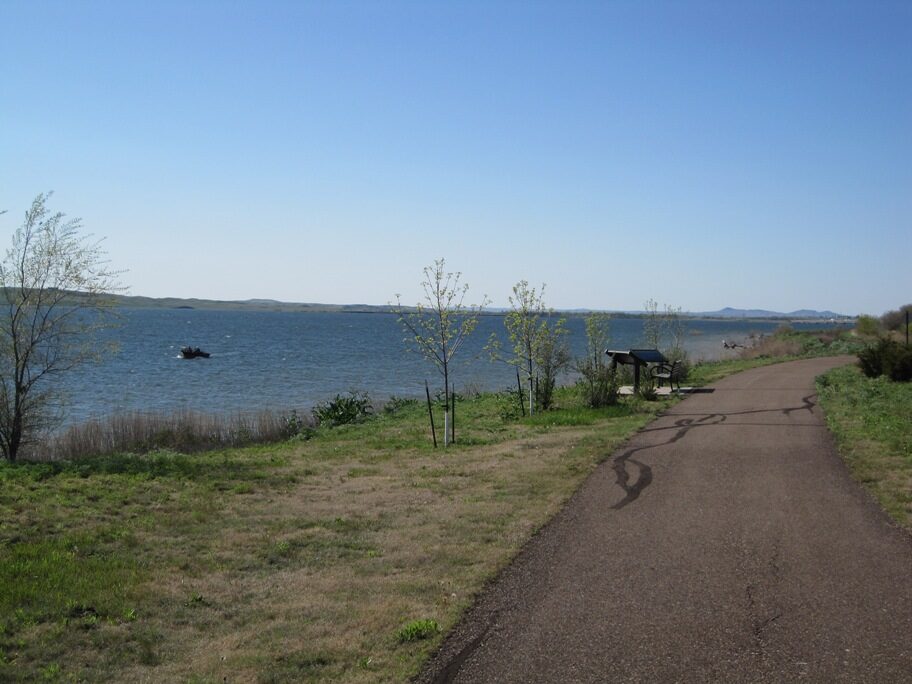
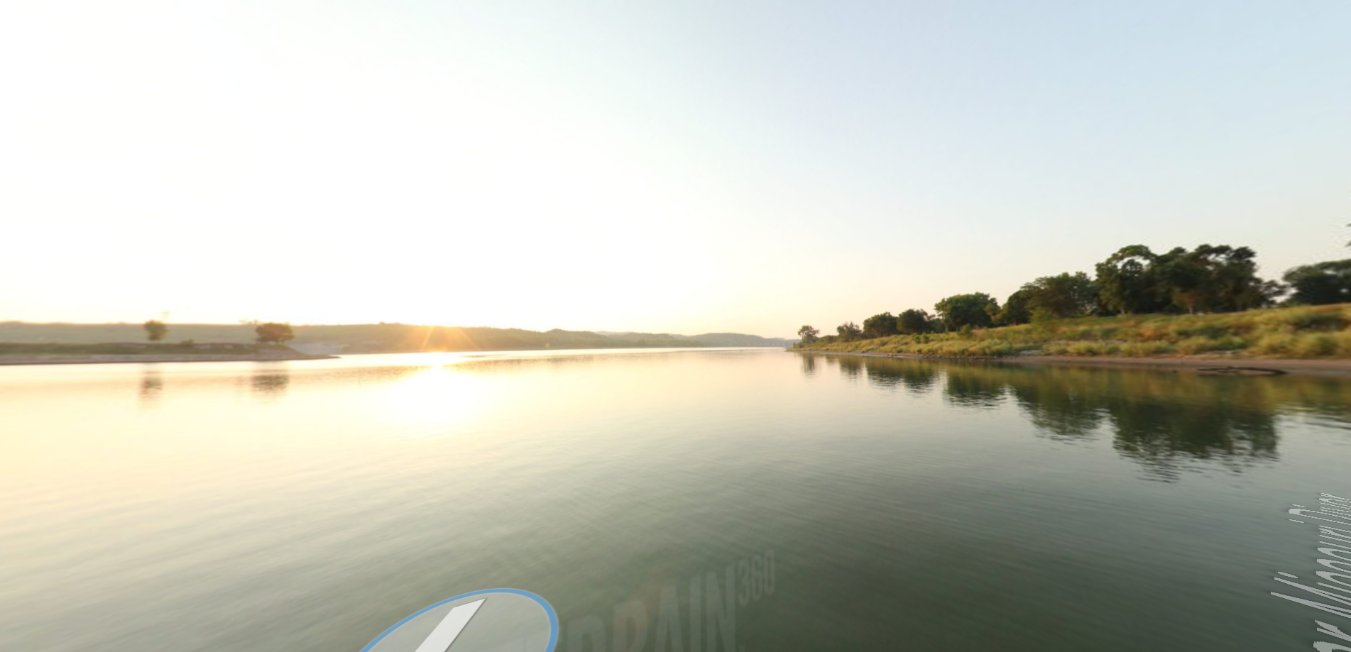
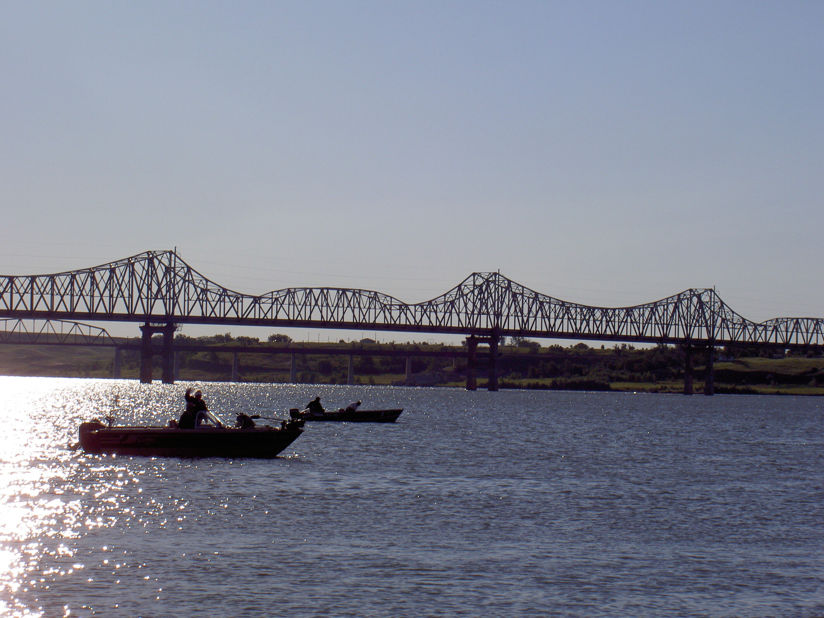
Walk along the Lake Oahe (the Missouri River) the same way Lewis & Clark traveled more than 200 years ago. The path is approximately 2 miles long and features informational signage along its way. The land is open to all to visit and walk on. The deep, clear lake – at its maximum depth, Oahe reaches 205 feet – makes for excellent boating and fishing. Add Mobridge to your itinerary and visit land that Lewis & Clark walked on 200 years ago.
Distance Unit:
Distance Unit: