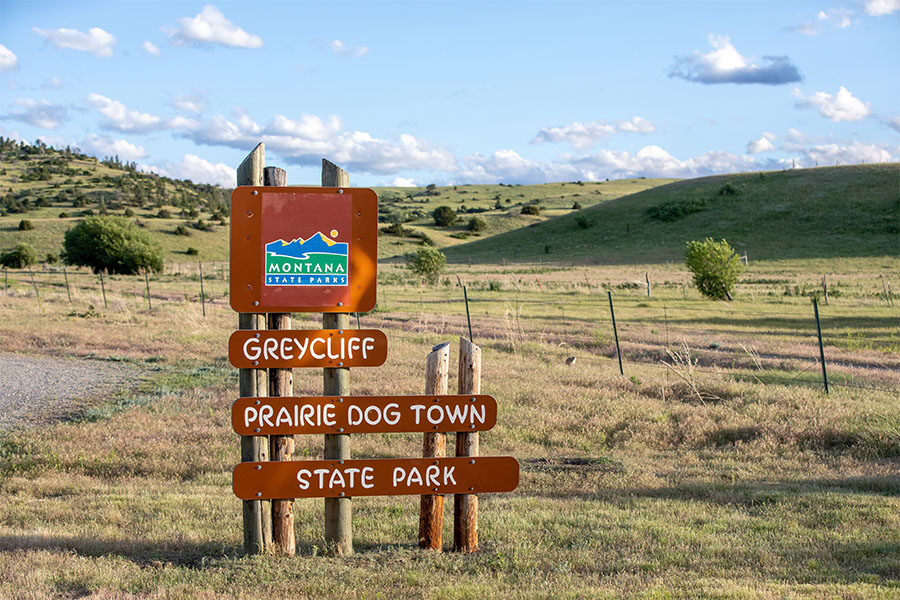
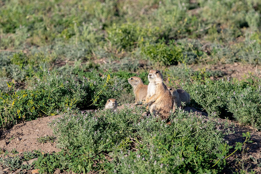
Greycliff Prairie Dog Town State Park
If you find yourself driving through Montana, this state park serves as an excellent choice for a pit stop.
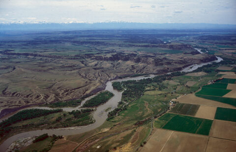
Located in southeast Montana, Greycliff Praire Dog Town State Park aims to preserve and protect the black-tailed dog community through the efforts of Montana State Parks, the Nature Conservancy, and the Montana Department of Transportation. The site is 98 acres in size and situated at 3,600 feet in elevation. These species were one of two described by the Lewis and Clark Expedition in their journals and diaries. They live in colonies, whose size may range from five to thousands of individuals. What is especially unique about this state park is that visitors will have the opportunity to see the prairie dogs in their natural setting! The site also provides all tourists with binoculars to enjoy the view of these small animals. Bring your kids and see for yourself these cute, but wild creatures who have great ecological significance in the prairie ecosystem.
Distance Unit:
Distance Unit: