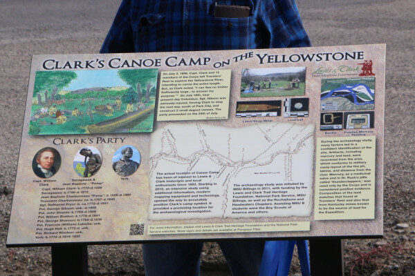
Clark’s Canoe Camp on the Yellowstone
Clark’s Canoe Camp on the Yellowstone is a High Potential Historic Site on the Lewis and Clark National Historic Trail.
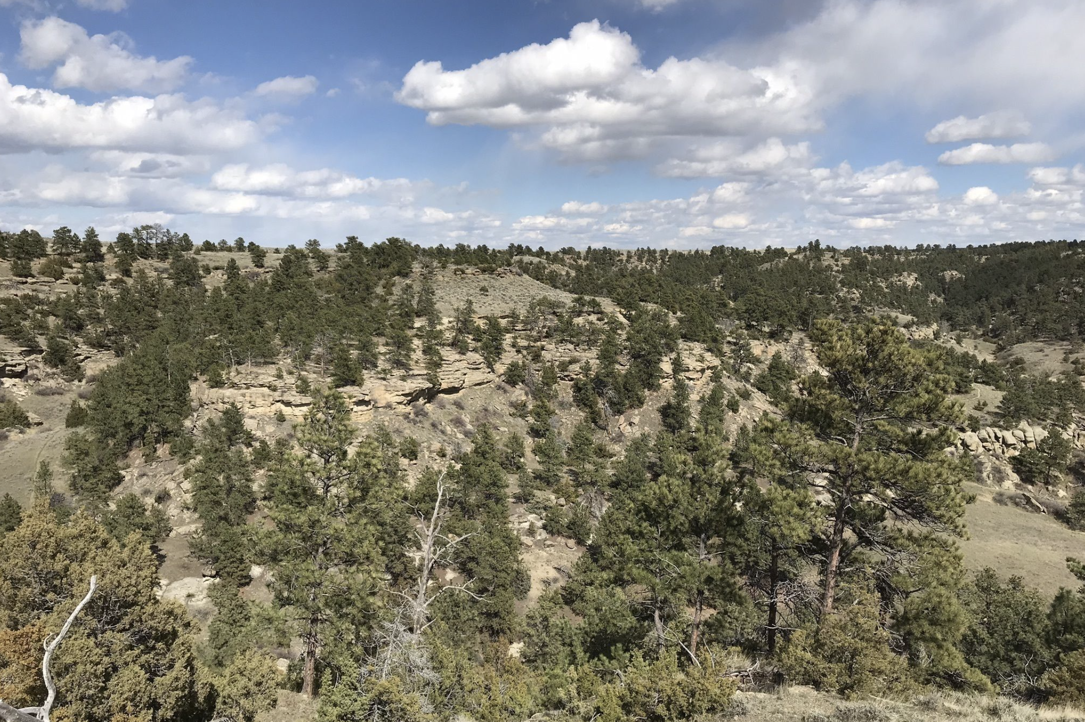
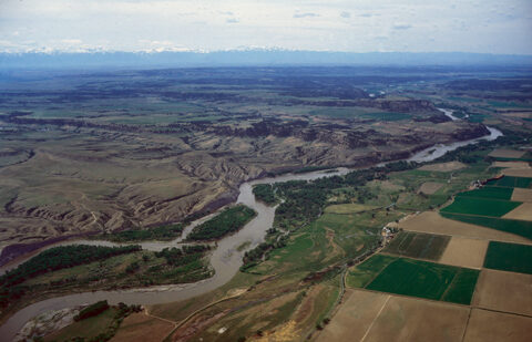
On the return journey, Clark’s party traveled about 100 miles down the Yellowstone River before they finally found cottonwood trees large enough for building canoes and made camp on July 19, 1806. George Gibson had suffered a serious thigh injury after being thrown from his horse, making land travel for him all but impossible. Clark wrote that they “found some large timber near which the grass was tolerably good I Encamped under a thick grove of those trees which was not Sufficiently large for my purpose.” However, there were no better trees in the vicinity to be found. The next day Clark determined “to have two Canoes made out of the largest of those trees and lash them together which will cause them to be Study and fully sufficient to take my Small party & Self with what little baggage we have down this river.” The party remained at the camp until July 24 building the canoes, hunting, and stitching new clothing from deer and elk skins. One night half of their horses disappeared. While Clark suspected it to be the work of an element from the Crow Tribe, no Crows were ever encountered and the missing horses were never recovered.
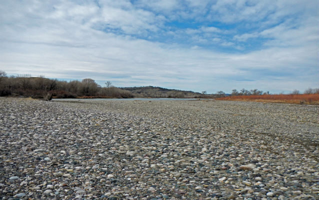
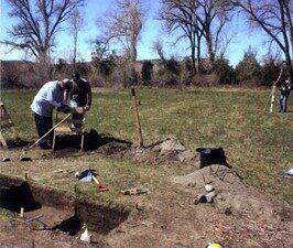
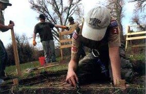
Based on geographical analysis and an archeological study conducted between 2011 and 2014, Clark’s Canoe Campsite is likely located near present-day Park City, Montana. The published report identified – among other things – a fire feature, localized mercury deposits, and a lead ball consistent with the type available to the expedition.
Please note: This location is not open to the public.
Distance Unit:
Distance Unit: