Floyd County, Indiana
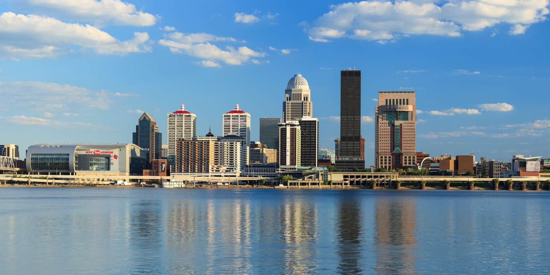
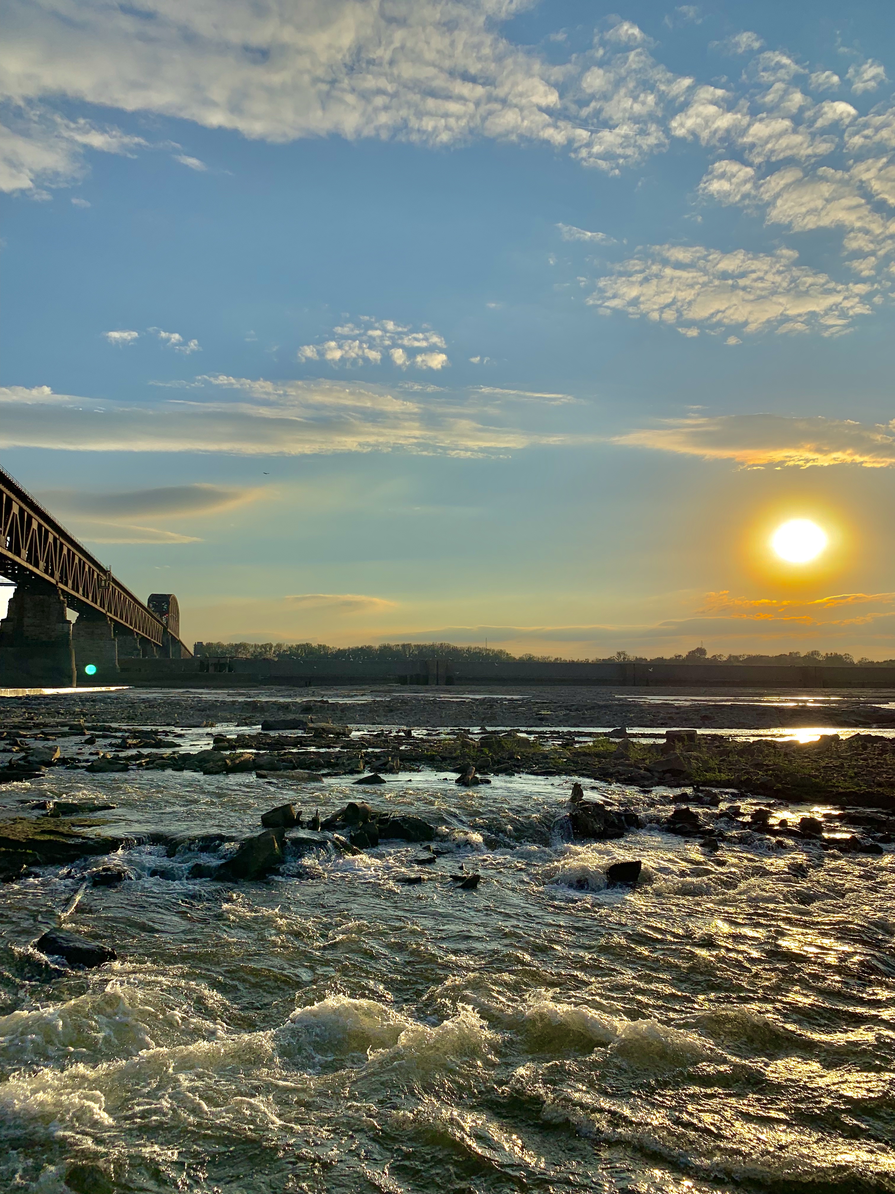
Floyd County, Indiana borders Louisville, Kentucky, and sits right along the Ohio River which separates the two. It is the county west of Clark County, Indiana which has the most relevance to the Lewis & Clark National Historic Trail but both counties make up, southern Indiana or “SoIN”.
The county is named after Brigadier General John Floyd who was one of the leading pioneers in the Louisville area. The land was awarded to George Rogers Clark after his brilliance in battle but sold the land to settlers once peace was restored after the Revolutionary War.
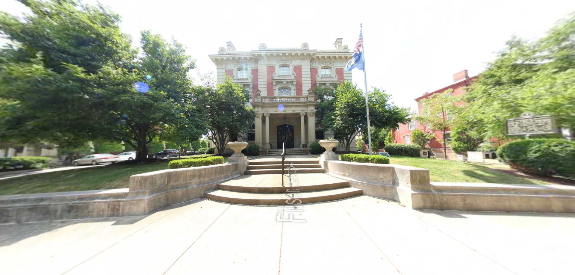
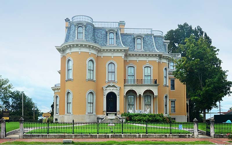
New Albany is the largest town within the county which has a fantastic walkable riverside downtown and was once the largest city in the state for most of the 19th century.
Other towns within the county include Floyds Knobs, Georgetown, and Greenville.
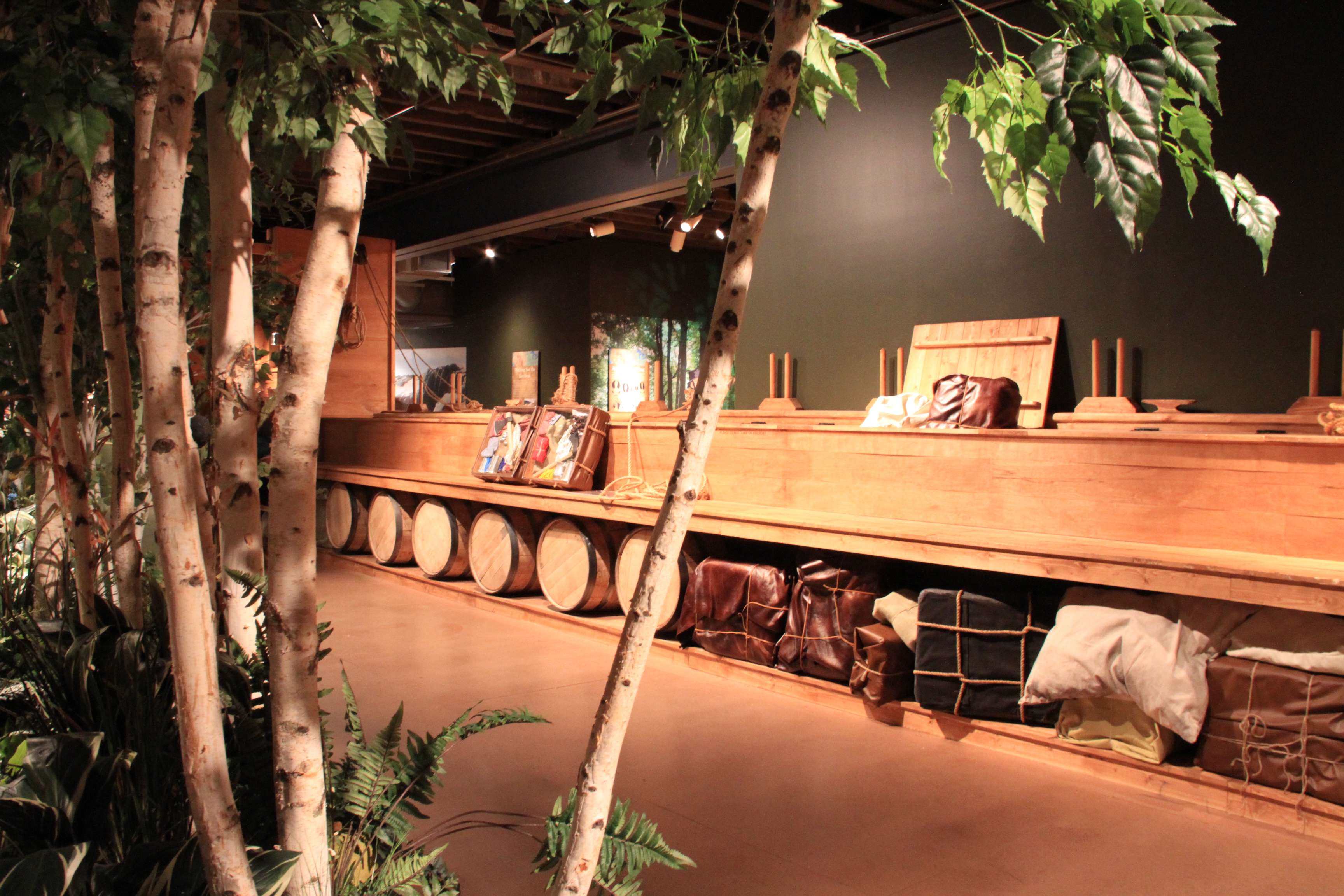
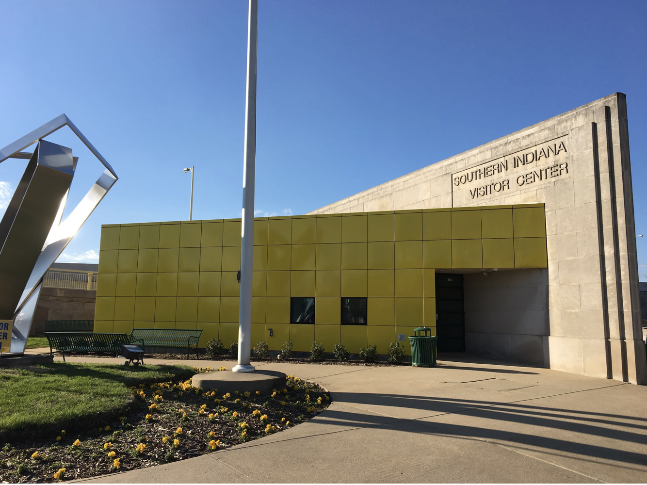
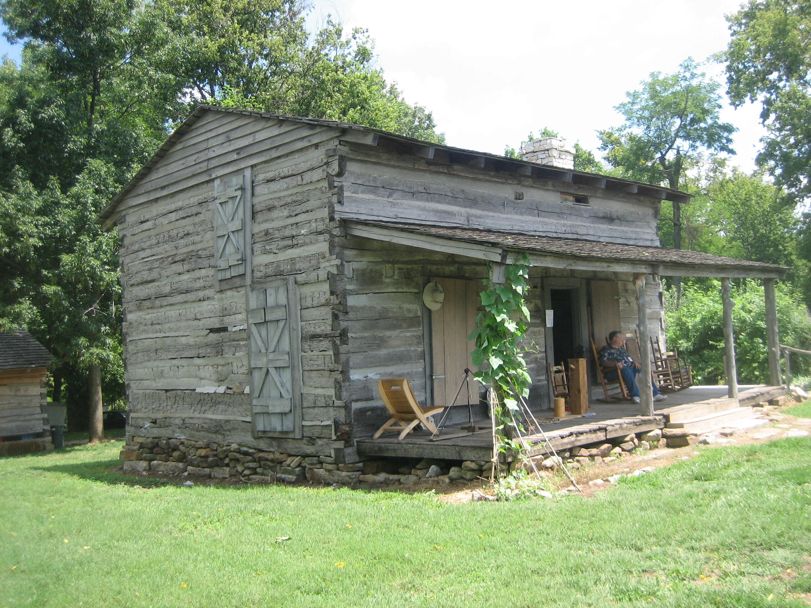
Notable attractions and things to do within Floyd County are:


Distance Unit:
Distance Unit: