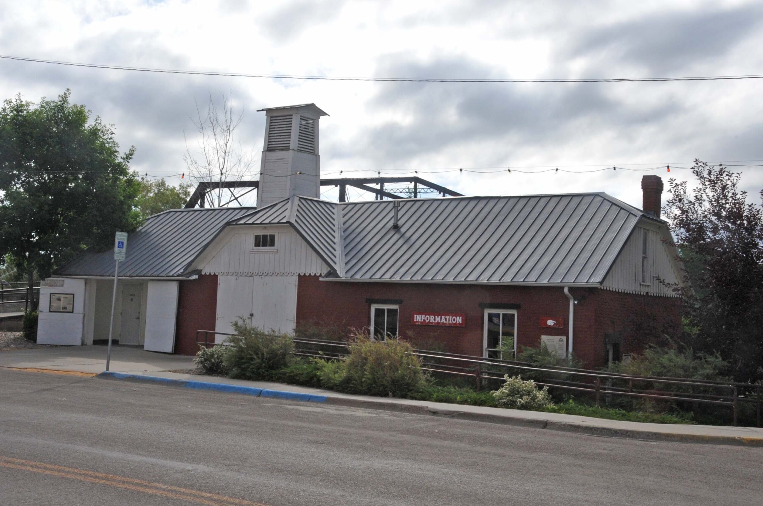
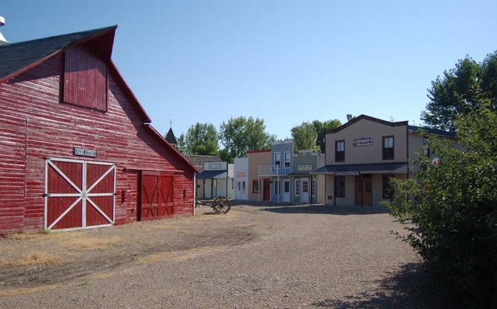
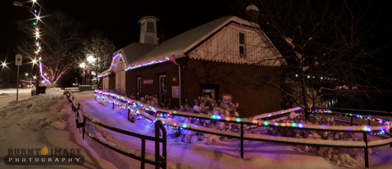
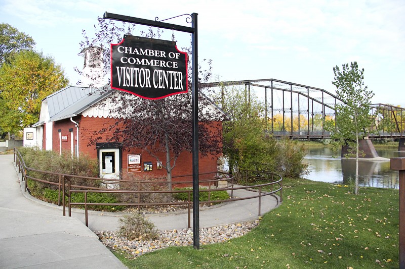
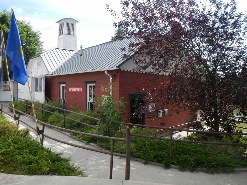
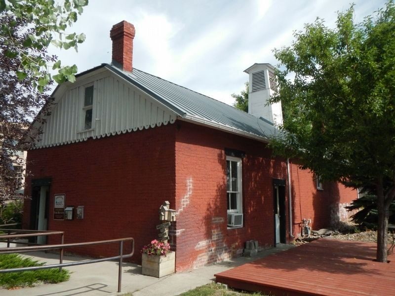
Fort Benton Engine House
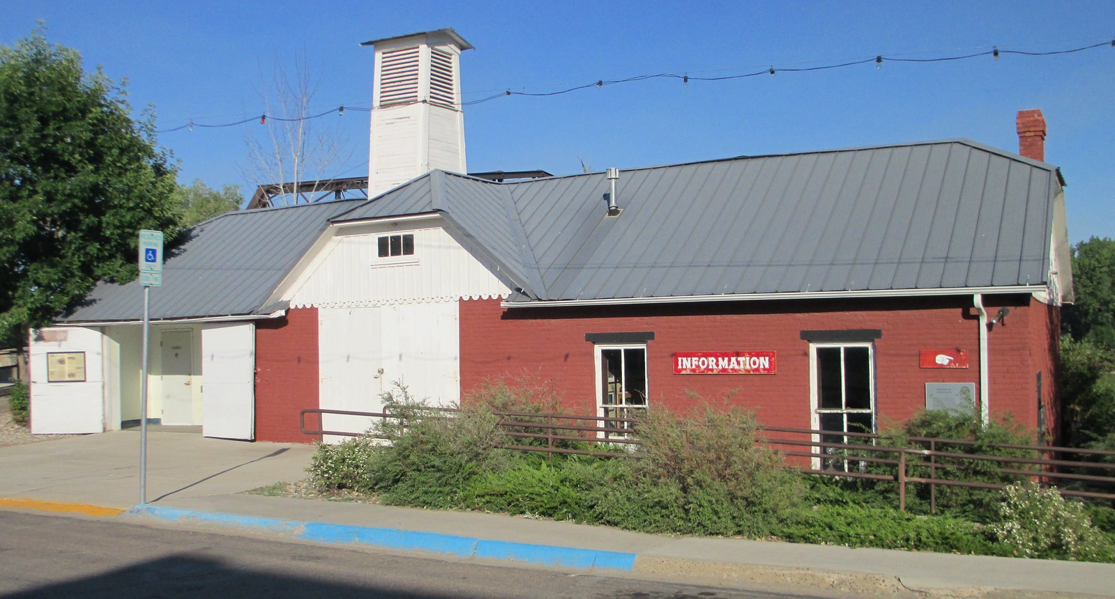
“Fire” was a cry dreaded by any Westerner, and early Fort Benton was no exception. Flimsy wooden buildings, haystacks, kerosene lamps, and primitive stoves created major fire hazards. When the city government was organized in 1883, the first steps in fire protection included this structure, built on contract by John Wilton for $1710. Later it doubled as the City Hall until 1966.
Chouteau Engine Company No. 1 organized, held practices, fireman’s balls, and waited for the pumper that had been brought to Cow Island by steamboat. When freighters got around to bringing it to Fort Benton, the paint was peeling and a wheel was missing. Nevertheless, it was Fort Benton’s pride.
The firemen repaired it, sat it on Mike Lynch’s ferry boat, and tried to pump a stream of water over the rooster weathervane on the old Record Building a block away. It served faithfully, going second-hand to Lewistown and eventually returning to Fort Benton for restoration in 1988.
(Taken from information sign at the Old Fire House).
Distance Unit:
Distance Unit: