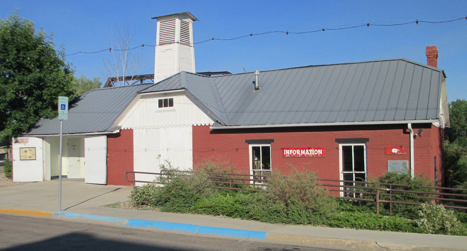
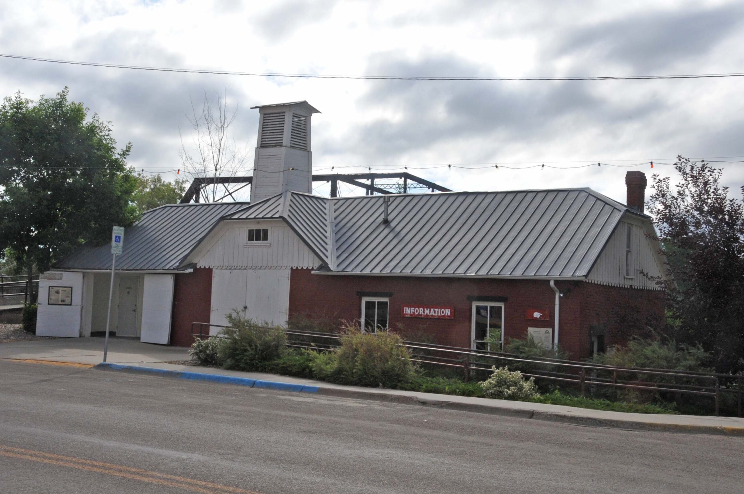
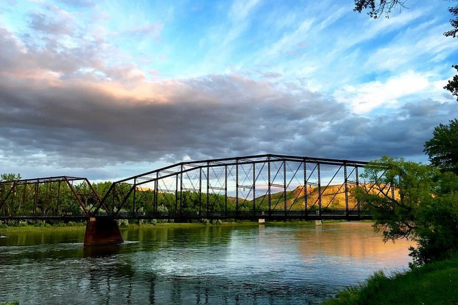
Decision Point
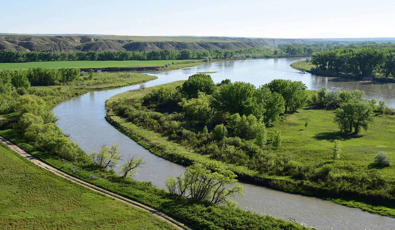
Follow in the footsteps of the Corps of Discovery at Decision Point. Just a mile off the highway near the town of Loma, Montana, Decision Point will lead you on a short trail to an overlook where the Corps once camped. Lewis and Clark spent five days exploring the the two rivers that led in two opposing directions. Ultimately, they chose correct as history has proven.
On June 2, 1805, the expedition arrived at the confluence of the Marias and Missouri rivers. The following day Lewis wrote, “This morning early we passed over and formed a camp on the point formed by the junction of the two large rivers. here in the course of the day I continued my observations […]. An interesting question was now to be determined; which of these rivers was the Missouri”.
Whether you’re out for a leisurely stroll or out for a hike, the breathtaking view will show visitors the merge of the Marias and the Missouri River.
Distance Unit:
Distance Unit:

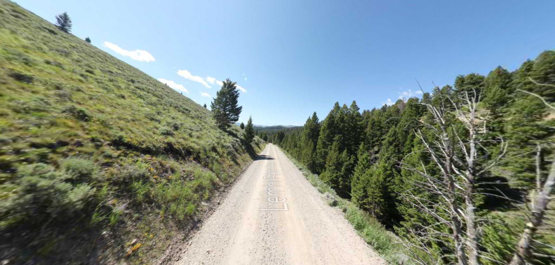


A trail starting at Hauser Dam and overlooking the Missouri River.