Felix Valle State Historic Site
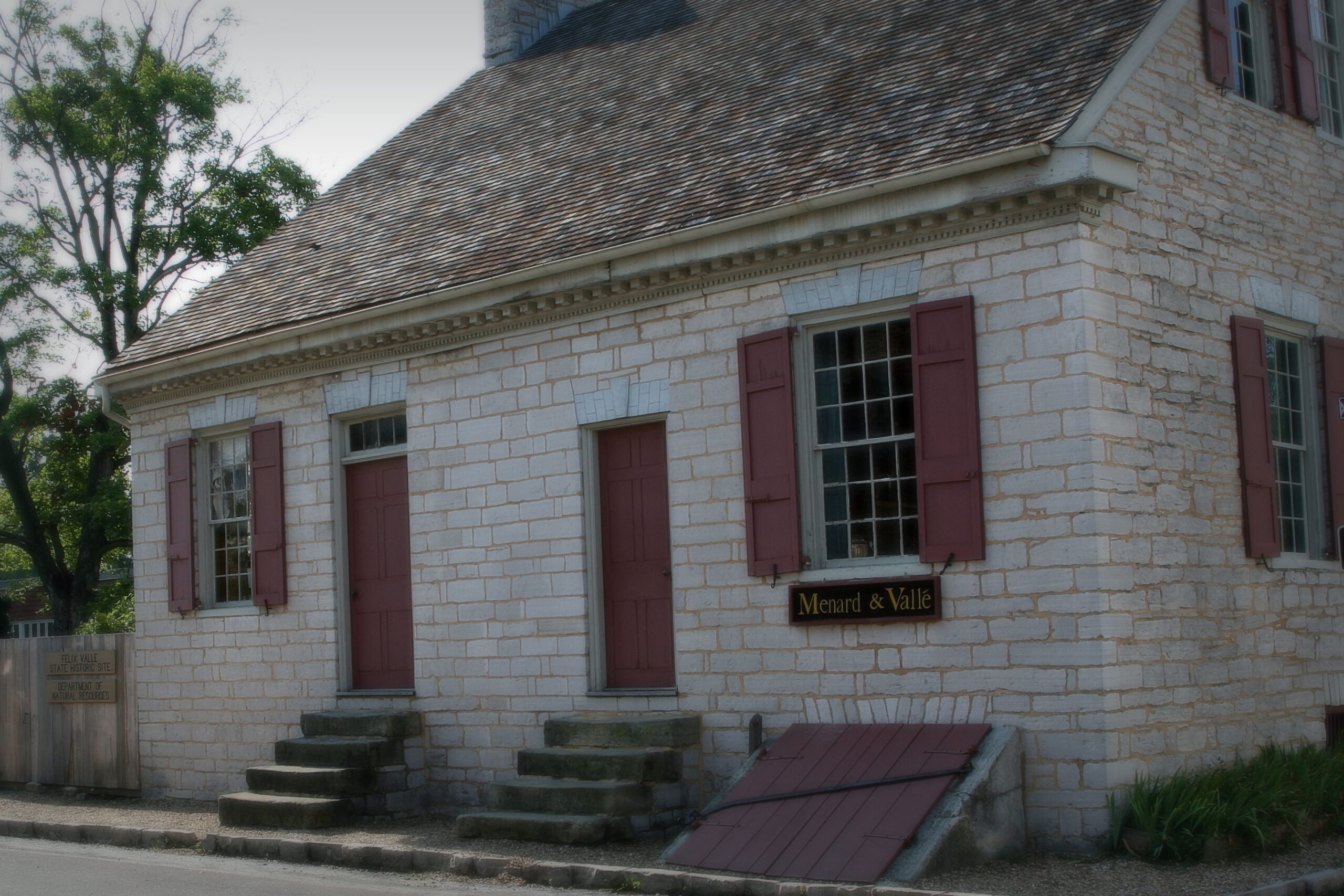
The Felix Vallé House, built in 1818, was designed as a combination mercantile store and residence for its original owner, Jacob Philipson, a Philadelphia merchant. Built of native limestone, its Federal-style architecture demonstrates the American influence on the community in the decades following the Louisiana Purchase. The home was sold to the prominent Vallé family of Ste. Genevieve in 1824 and served as a location for the trading firm of Menard & Vallé, as well as the residence of Felix and Odile Vallé. Holding firmly to their French traditions, including language and religion, the Vallé’s embraced “modern” features of life, including an American-style home and American goods brought by steamboat.
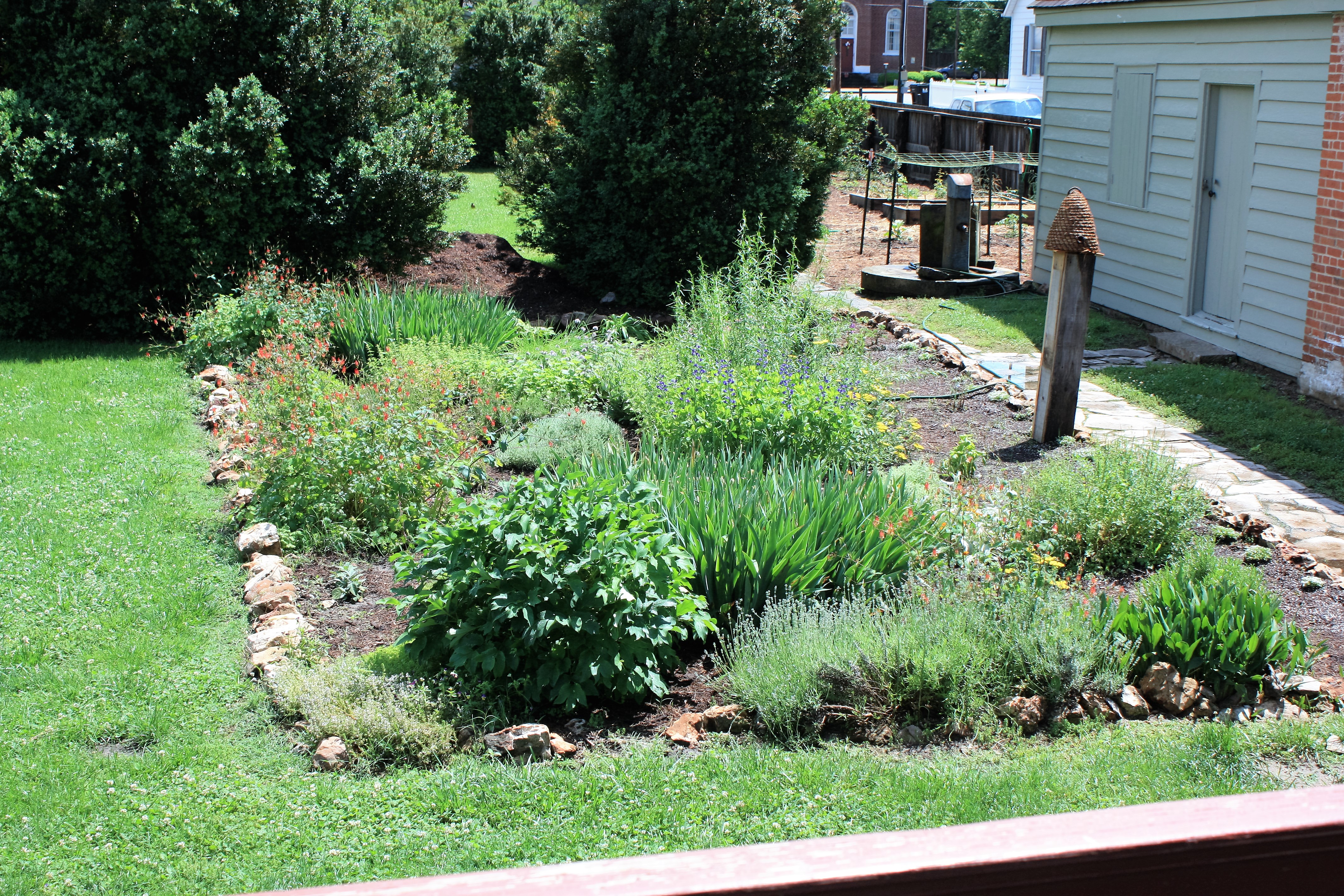
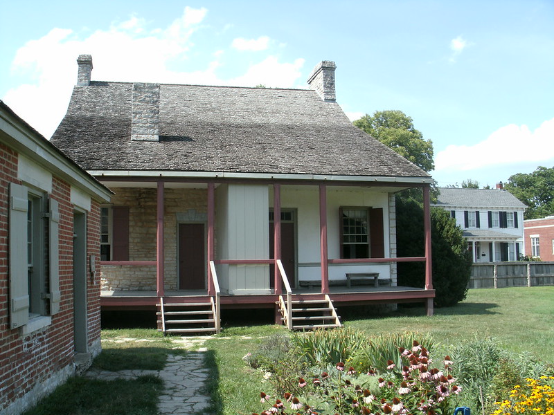
There are three houses for you to visit at the site. The Felix Valle house, the vertical log 1792 Amoureux House, and the 1819 Shaw House. Each of these homes offers a unique look at the time period.
Distance Unit:
Distance Unit:


Here, nine Cherokee Indian groups braved harsh winter conditions while crossing the Mississippi River in 1838-1839, marking a sorrowful chapter in American history. The park also has: shaded picnic sites, hiking and horse trails, opportunities to fish…