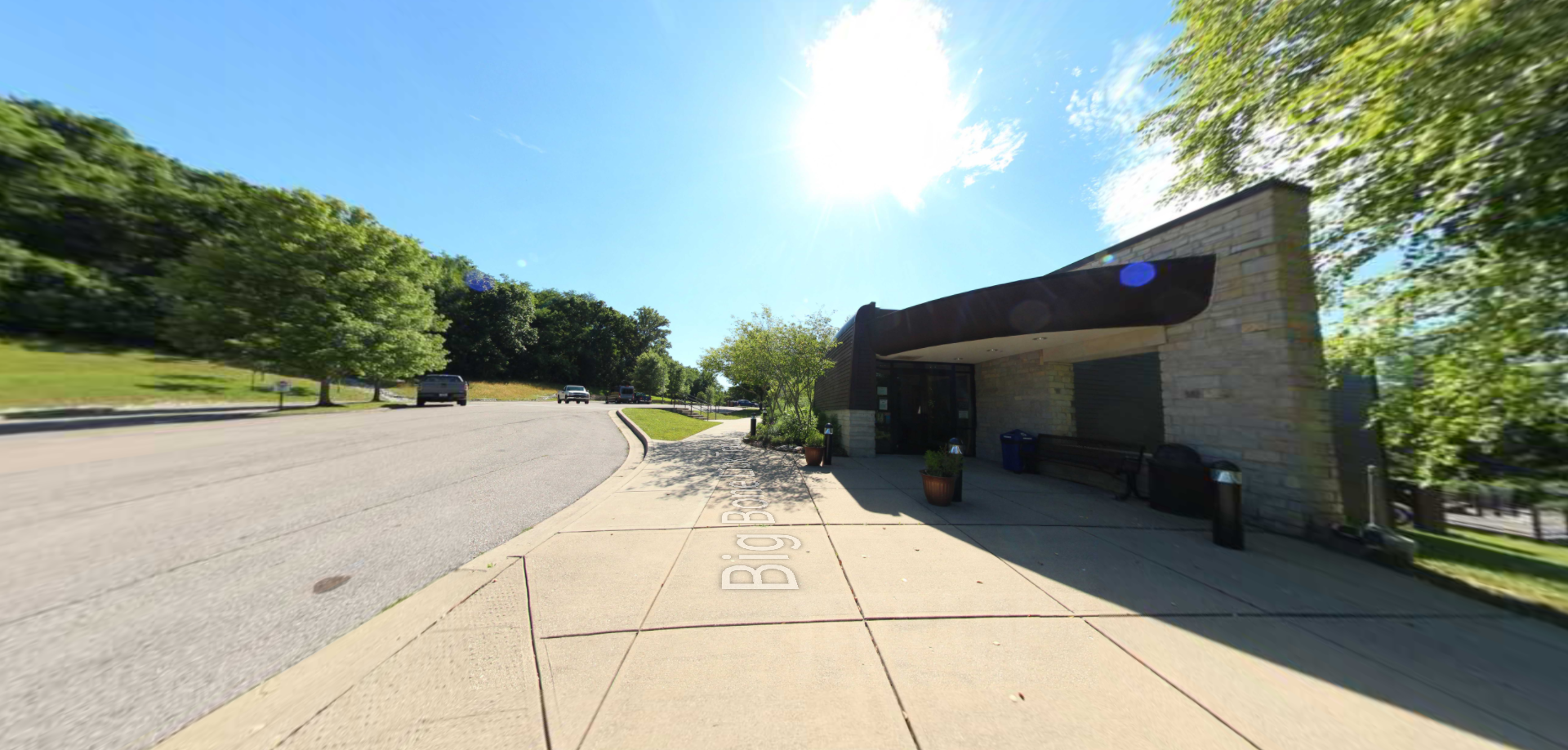
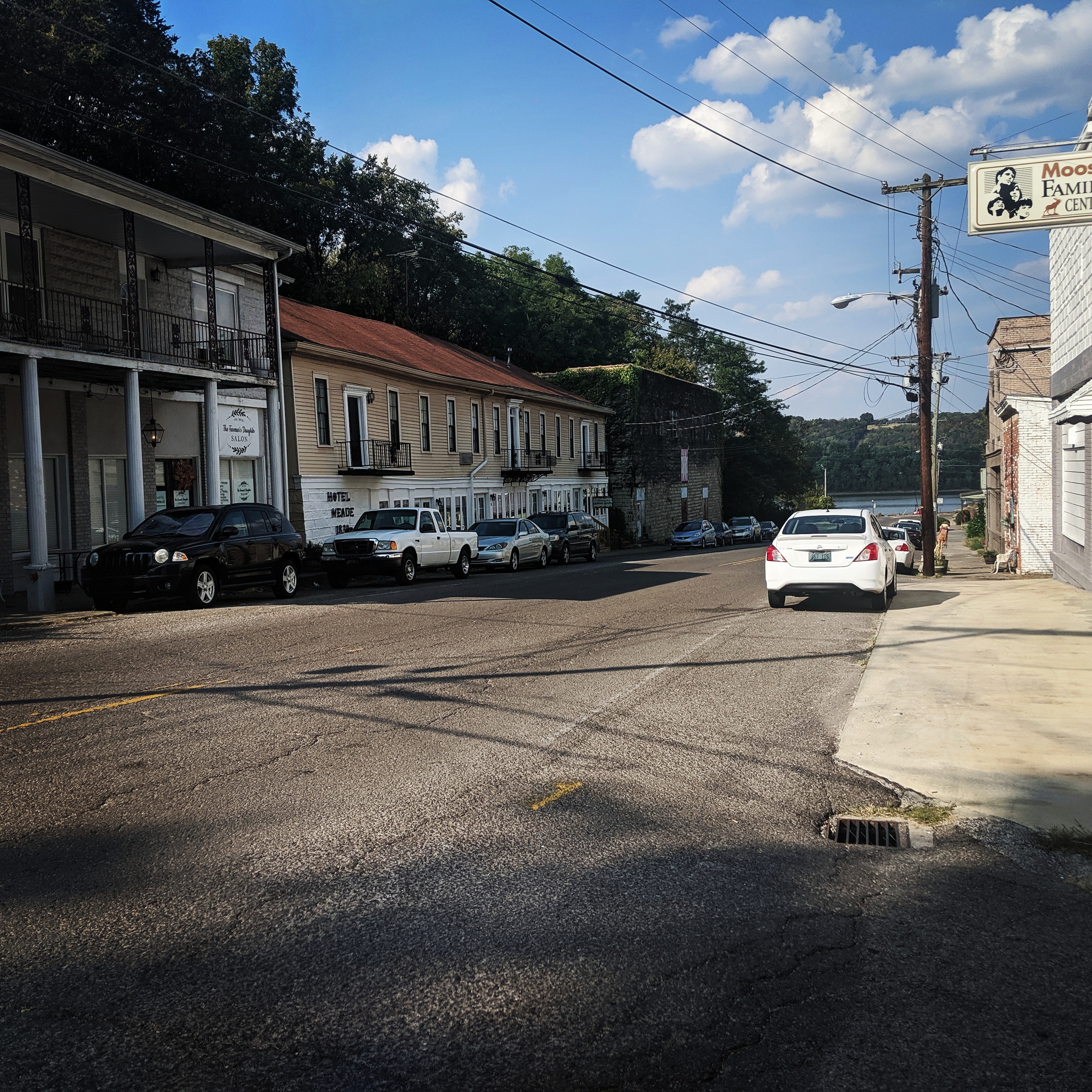
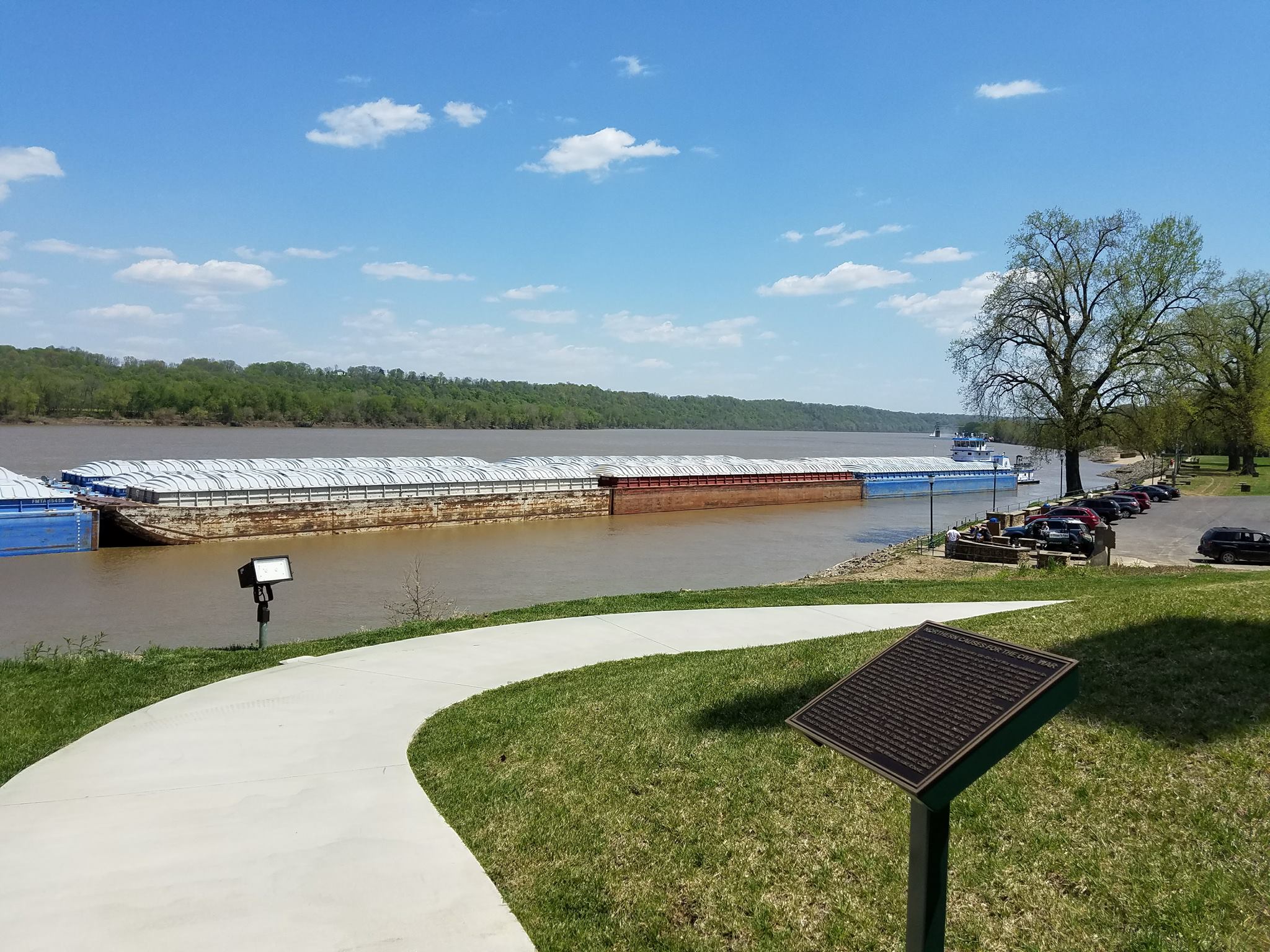
Brandenburg Riverfront Park
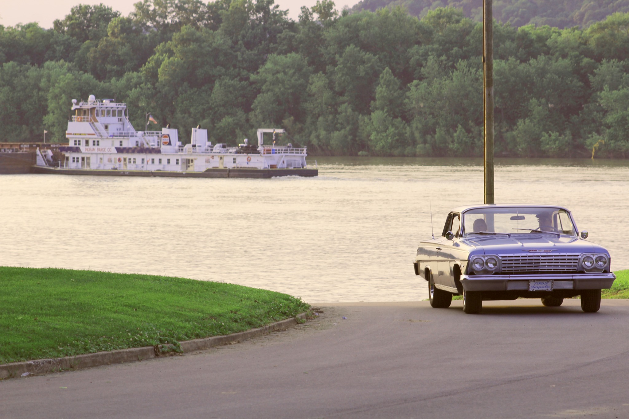
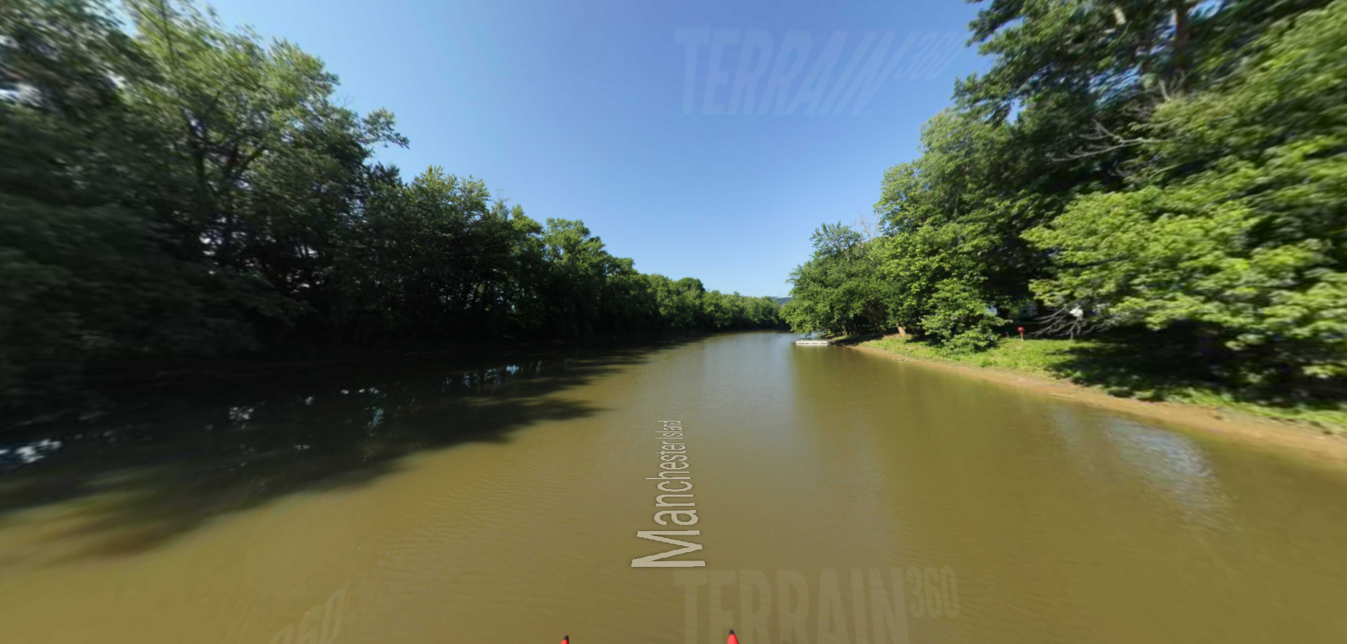
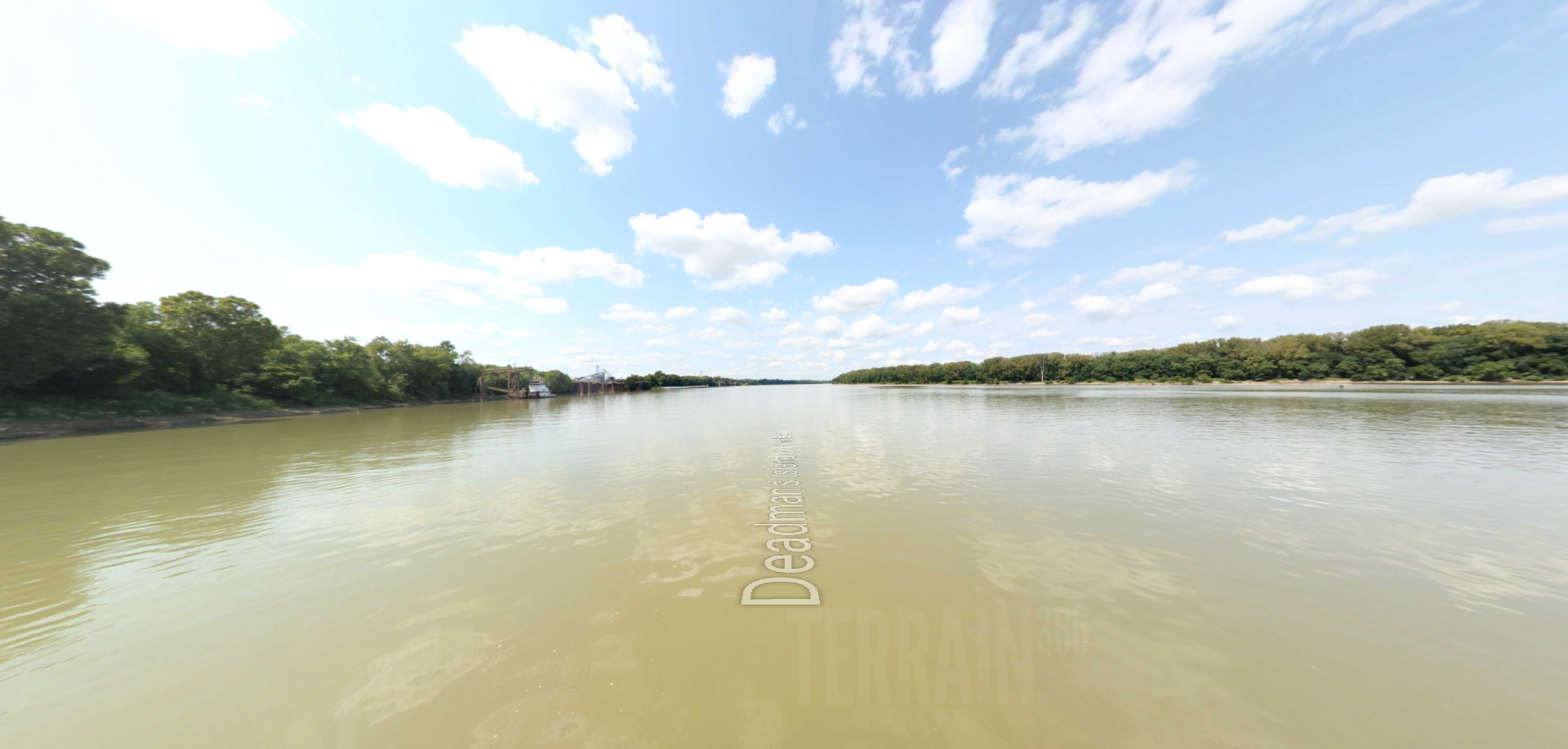
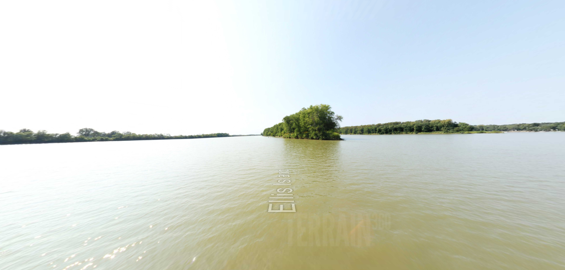
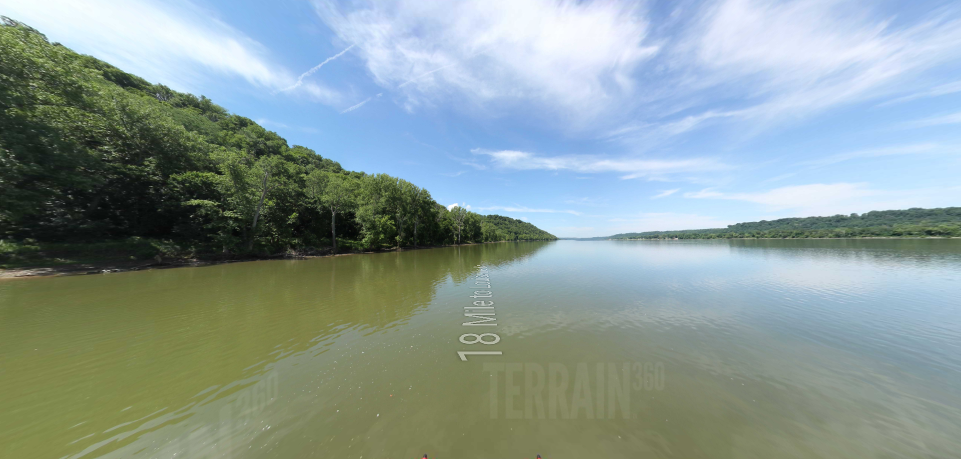
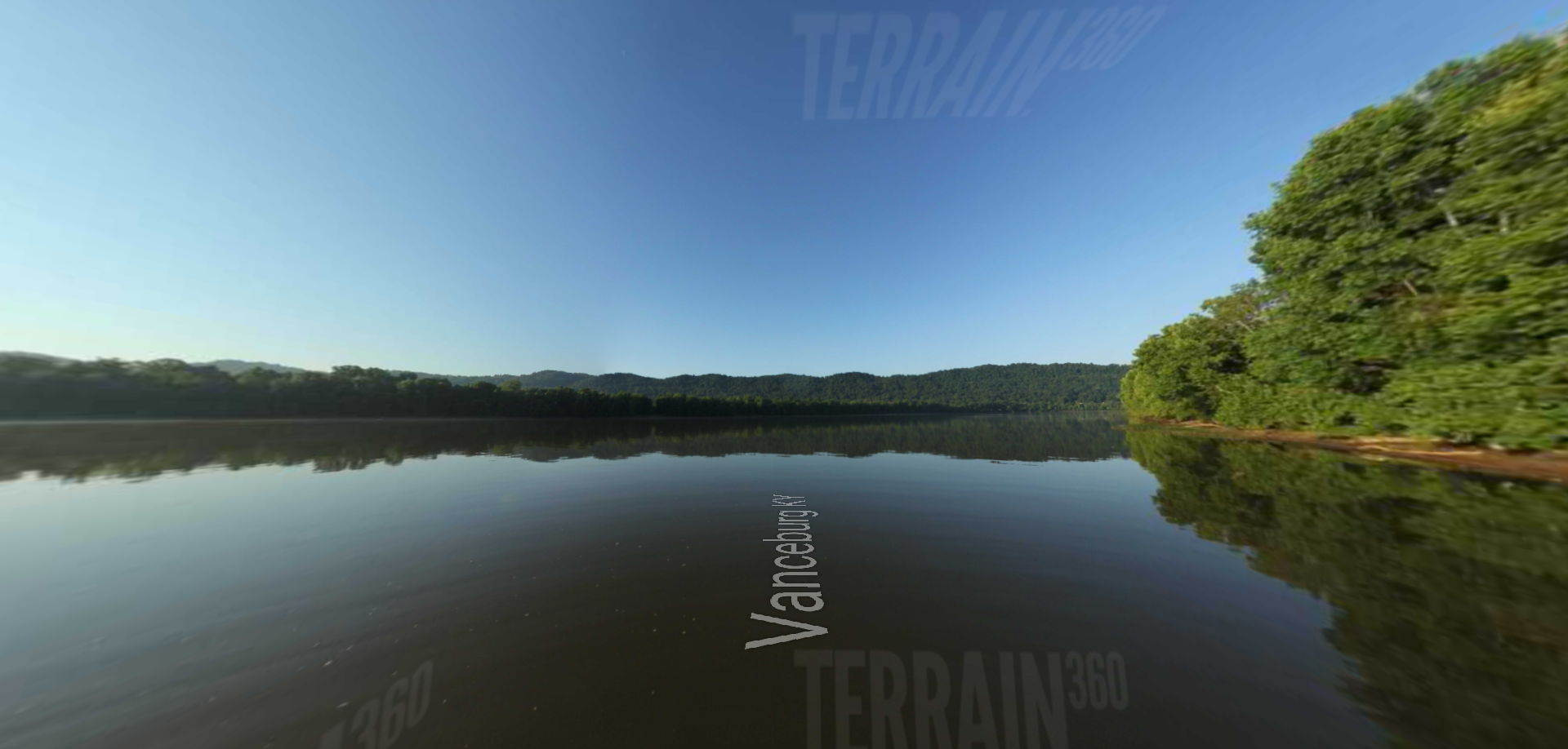
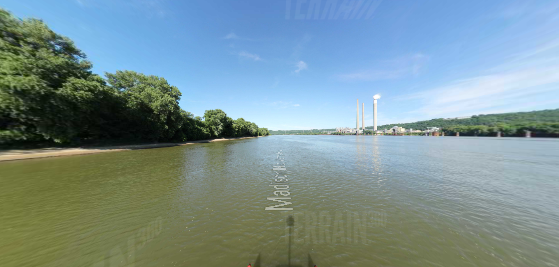
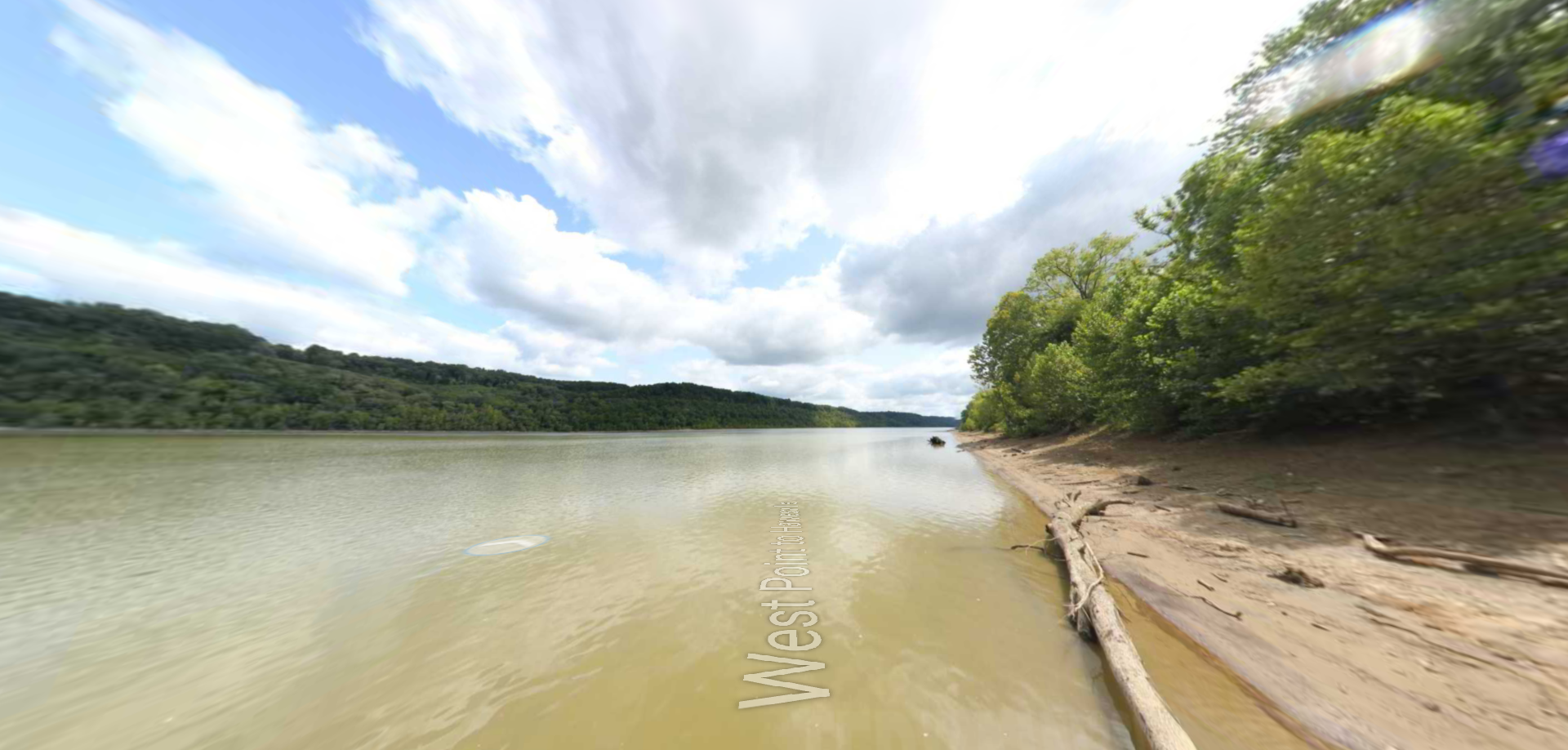
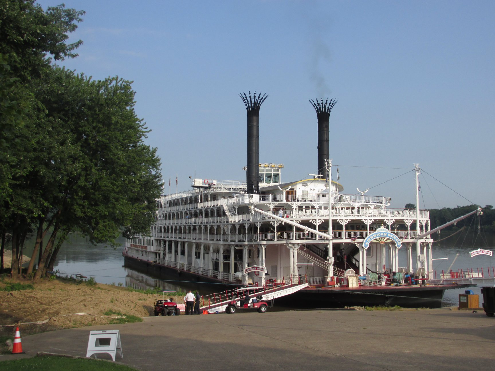
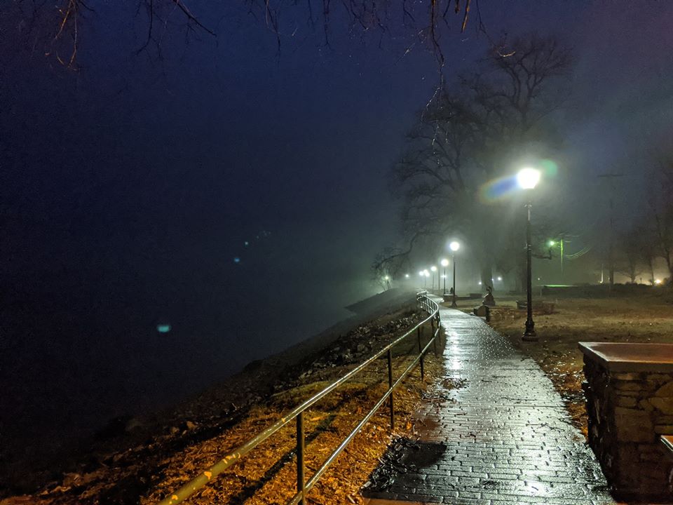
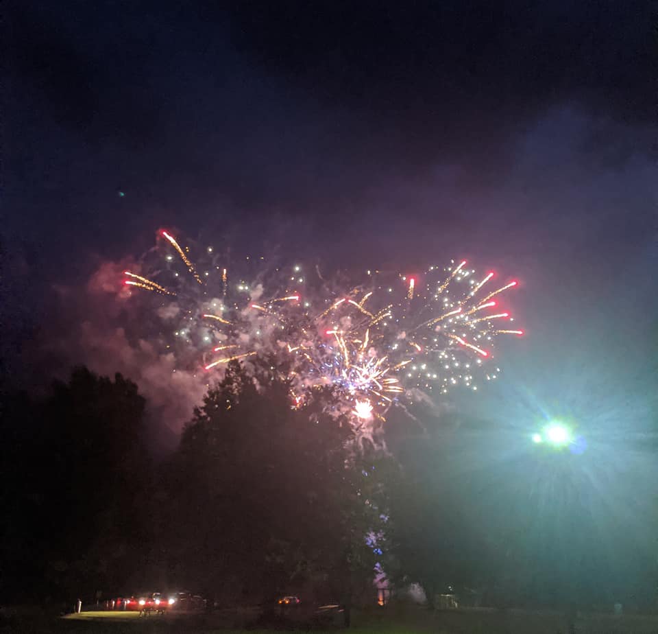
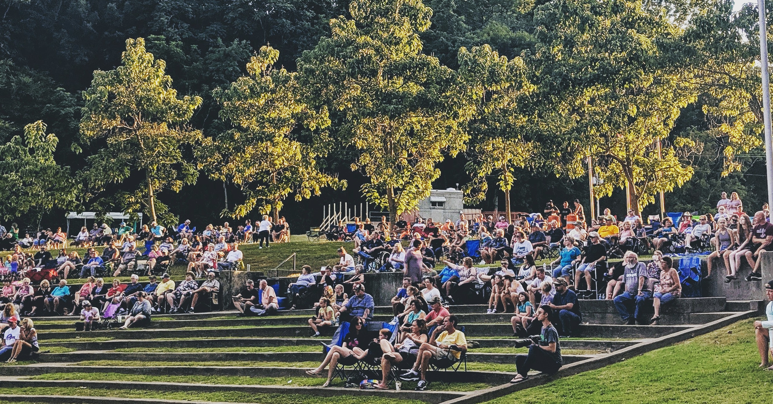
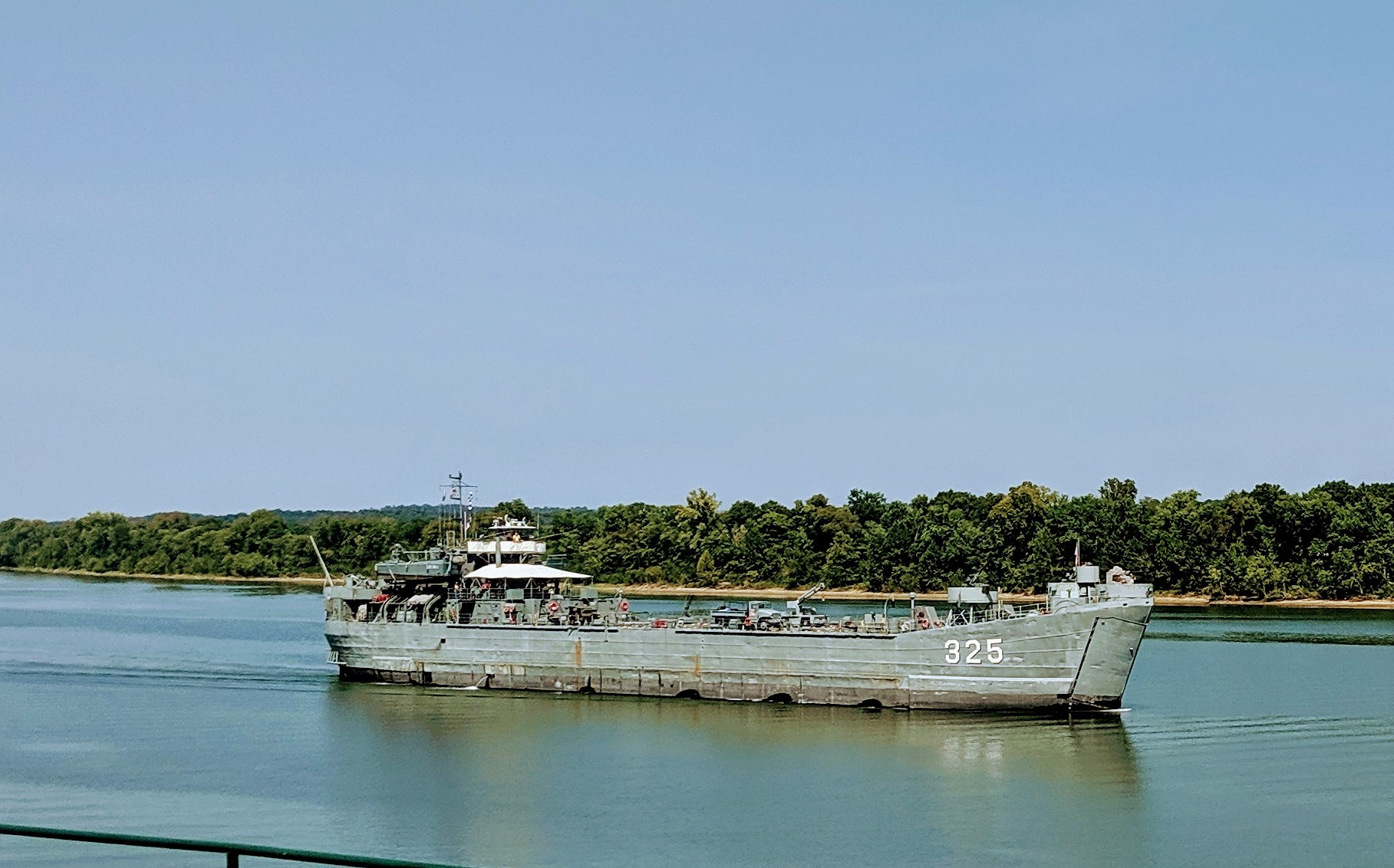
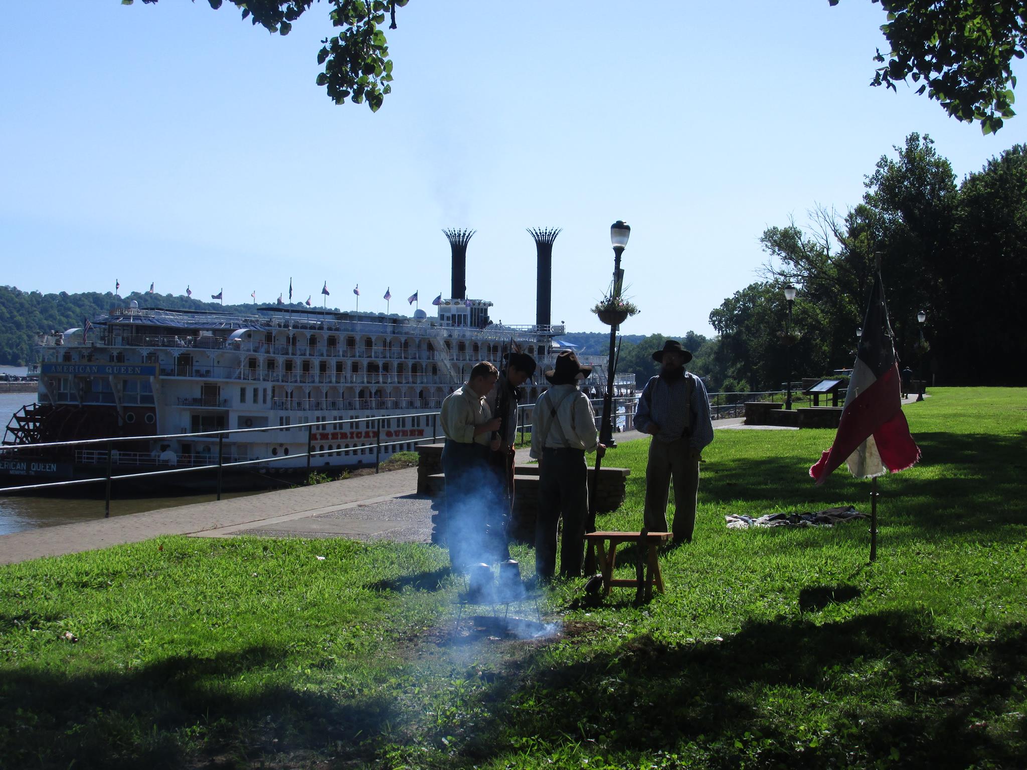
Brandenburg Riverfront Park’s 15 acres span the width of the downtown area and offer an unparalleled view of the scenic Ohio River, the graceful Matthew Welch Bridge that crosses the river, and the scenic, wooded Indiana shoreline on the opposite side. The park offers a playground for the children, a checkers/chess table, picnic pavilions, bandstand, amphitheater, soccer fields, a river walk, and more. Counting the barges on the passing towboats helps makes for a relaxing afternoon, and weekend concerts make this a venue with something for everyone.
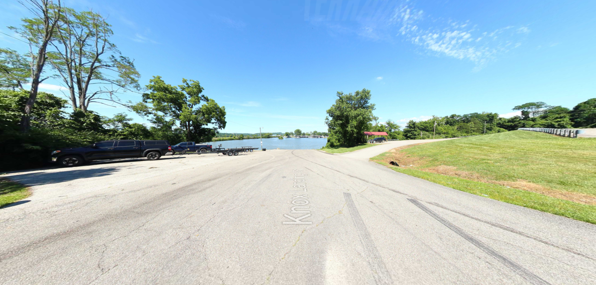
The park also offers river access to boaters, fishermen, and kayakers. The park is equipped with 2 boat ramps for launching, a dock during the warm months, and trailer parking. There is also a 16 site RV campground providing each site with a picnic table, a fire ring, and free WIFI. There is also water hookup, 50, 30 and 20 AMP service, also provided is a dump station on site.

Distance Unit:
Distance Unit: