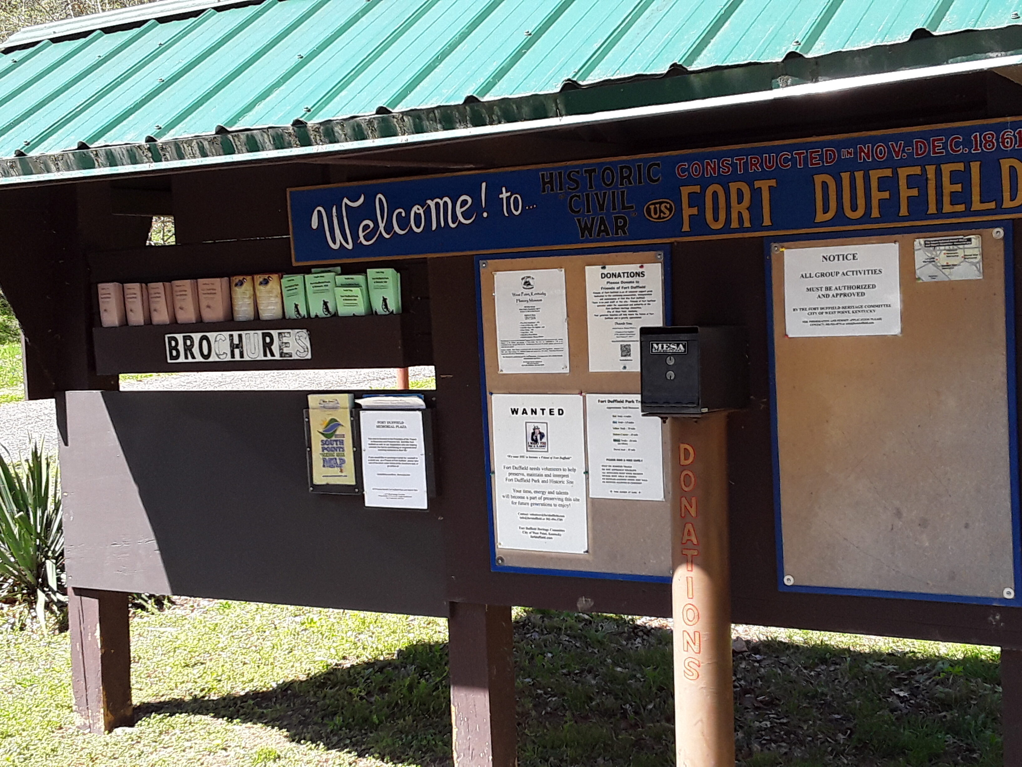
Civil War U.S. Fort Duffield Park and Historic Site
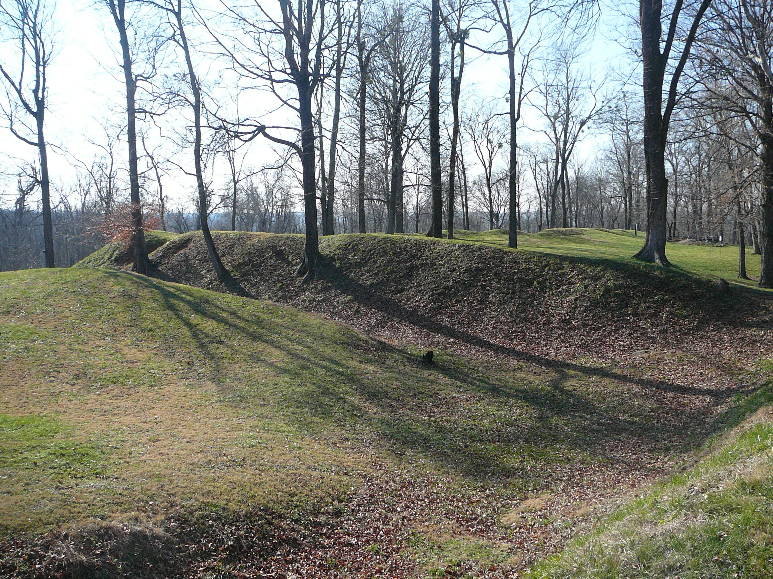
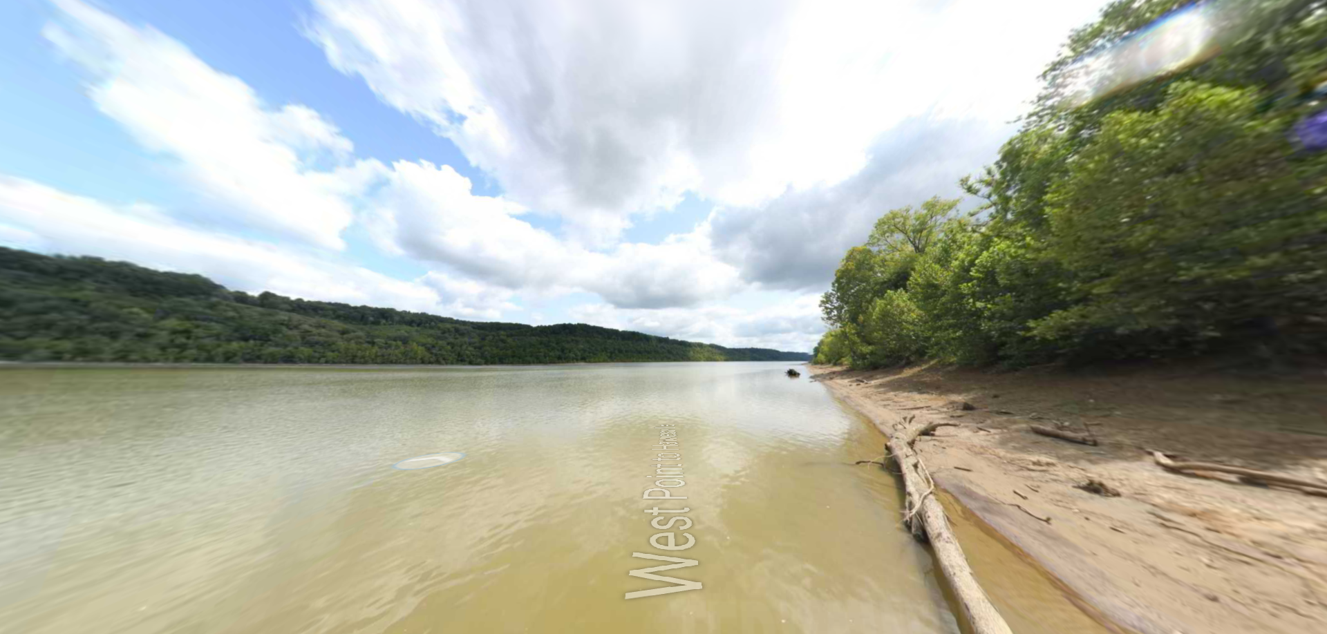
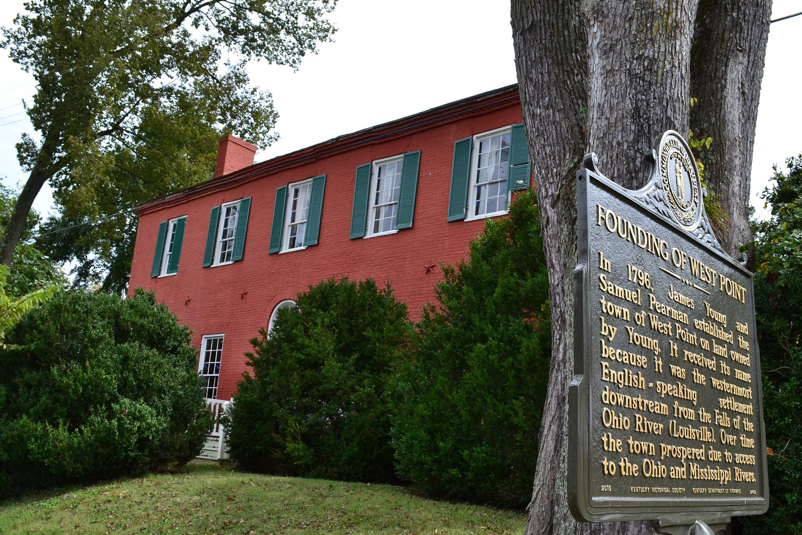
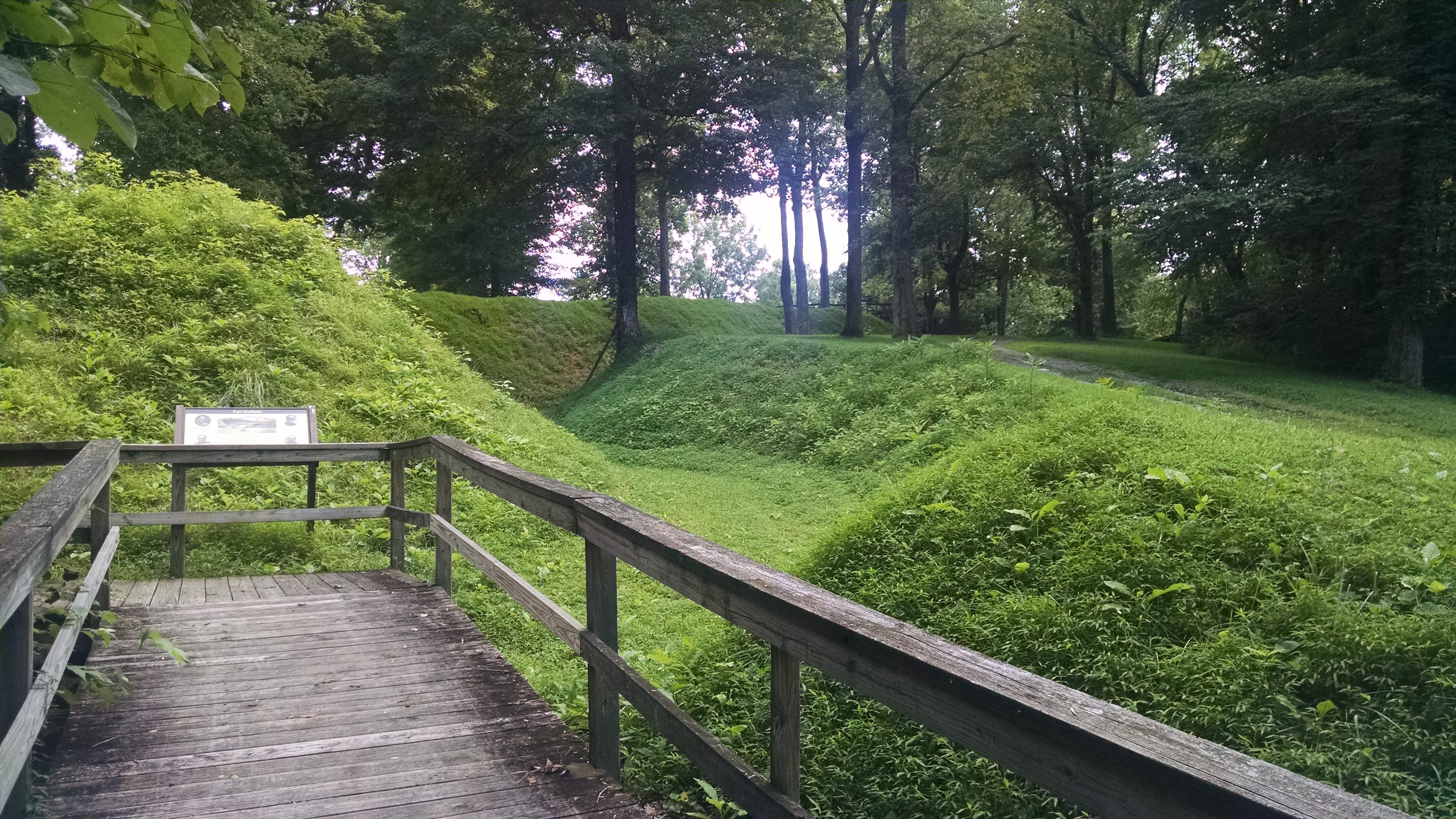
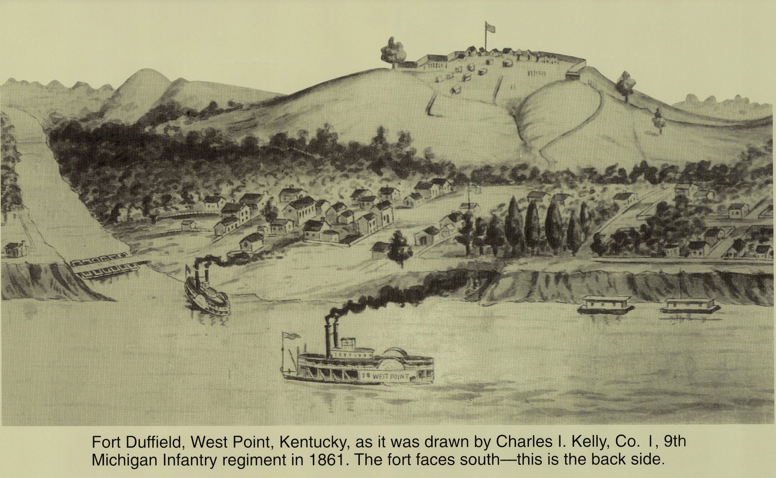
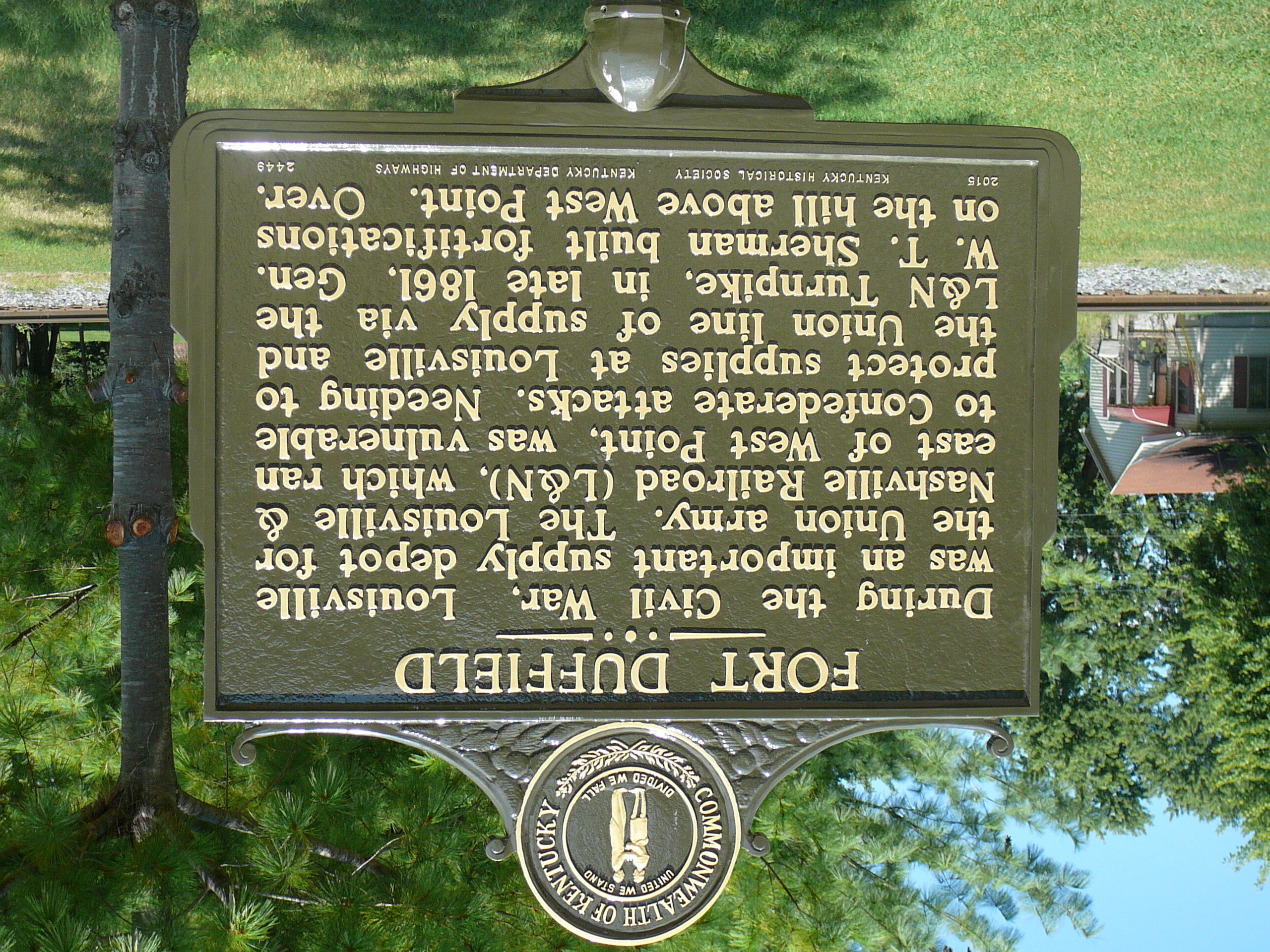
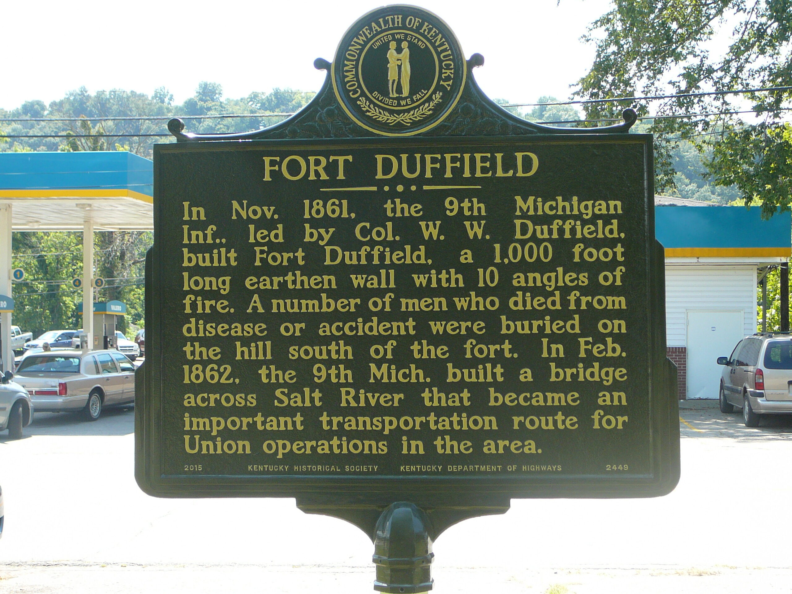
Civil War U.S. Fort Duffield Park and Historic Site is a 175 acre park which includes a U.S. Civil War earthen fortification, Kentucky’s largest and best preserved, and a Fort Duffield Memorial Cemetery. The fort was built in November and December of 1861 and is on the National Register of Historic Places and the American Battlefield Trust Heritage Sites. The fort overlooks the City of West Point, Kentucky where the Lewis and Clark Corps of Discovery stopped on October 27, 1803.
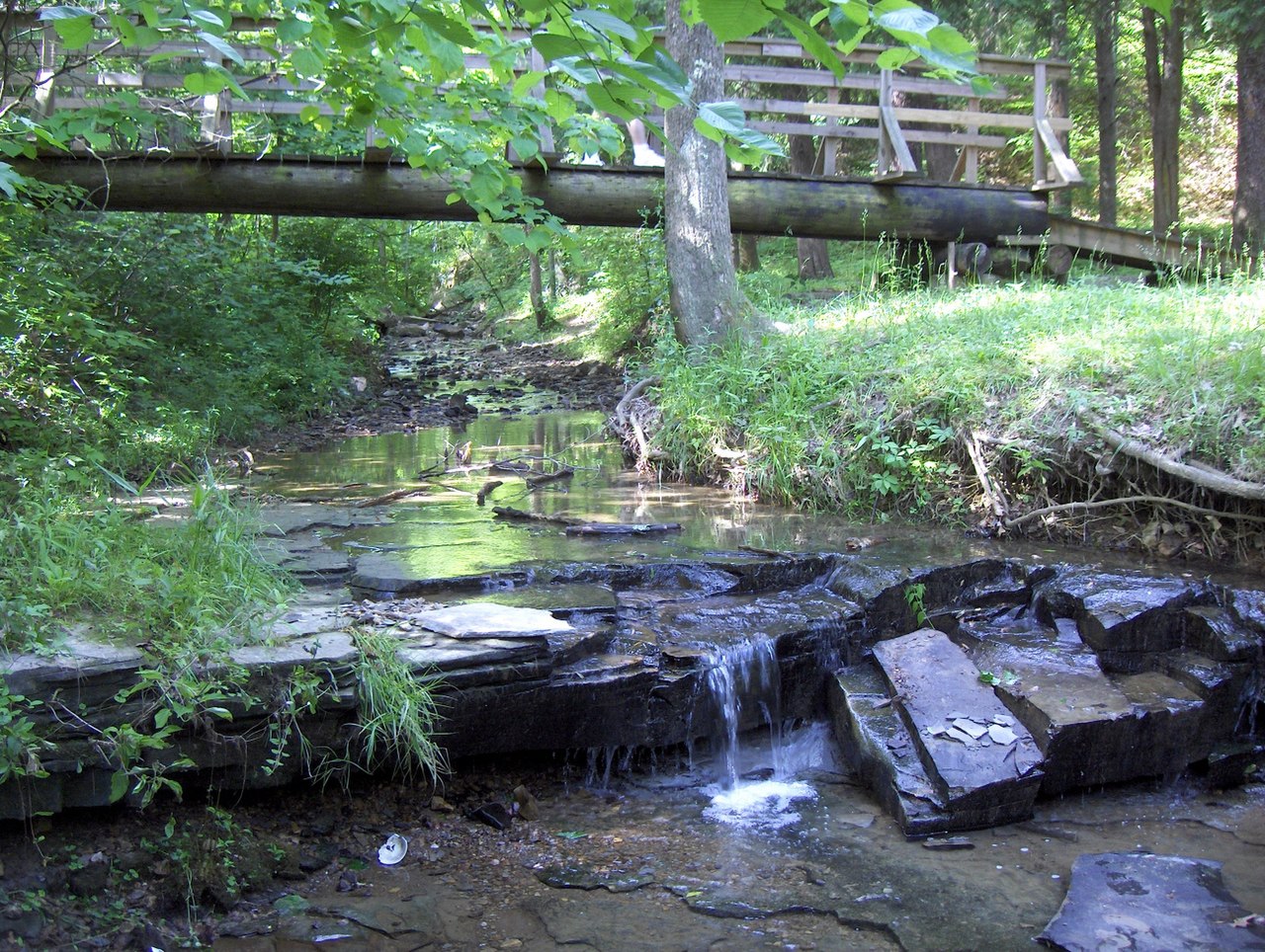
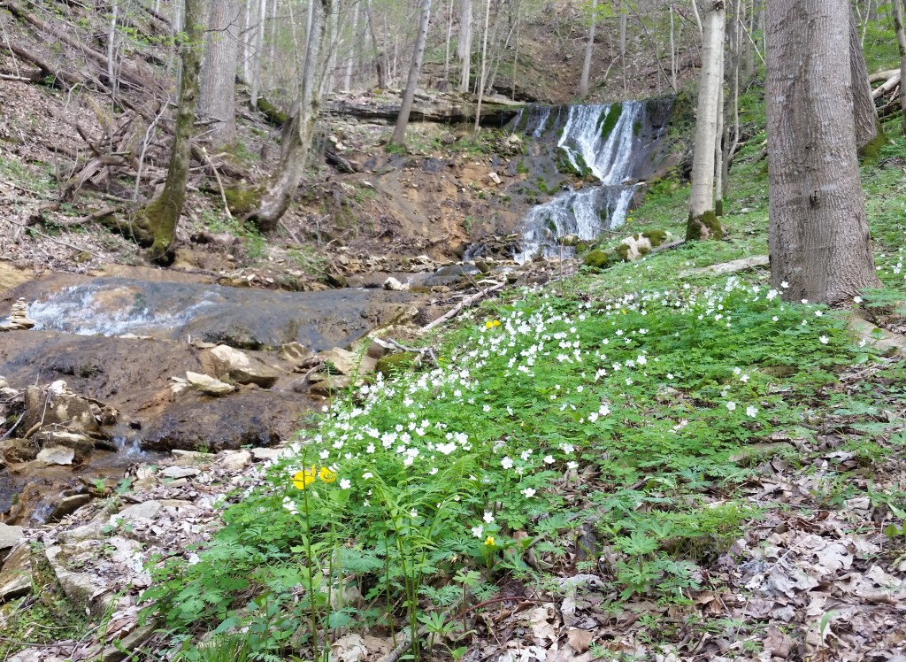
The park offers approximately 10 miles of rider rated intermediate to expert level mountain bike and hiking trails. Picnic facilities are also available for families looking to enjoy time together outside.
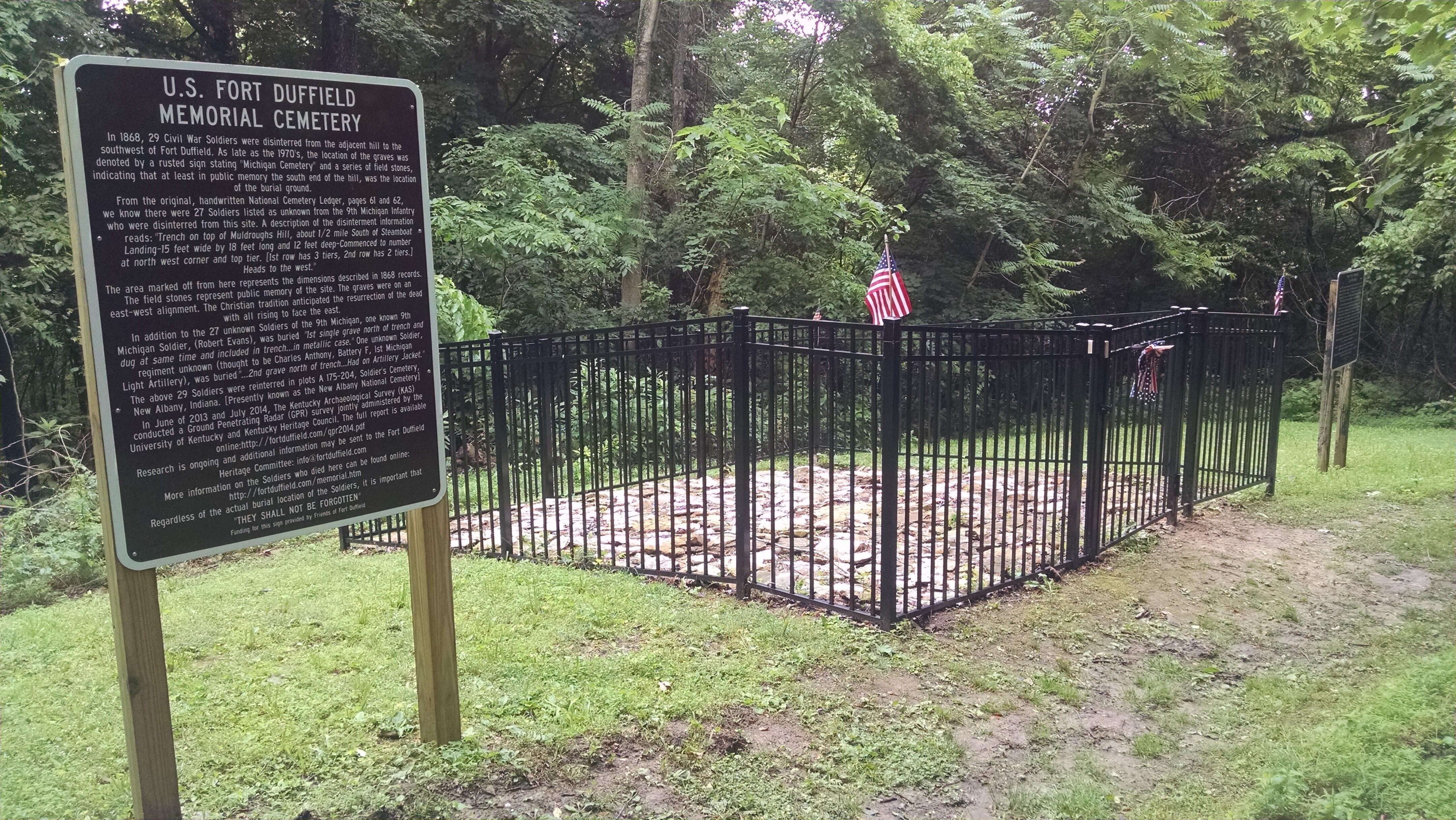
Forty-eight Civil War Soldiers died while in West Point, including 39 soldiers of the 9th Michigan Infantry, the unit credited with building the fort. Twenty-nine Michigan soldiers were disinterred from the “Michigan Cemetery” on the adjacent hill southwest of the fort in 1868. A memorial cemetery and burial display pays tribute to the sacrifices of our Civil War Dead.
Visit both the fort and the memorial cemetery by wood trails or paved service road. (Note for hikers: There is a 300′ climb over a distance of one quarter mile. Resting benches are available.)
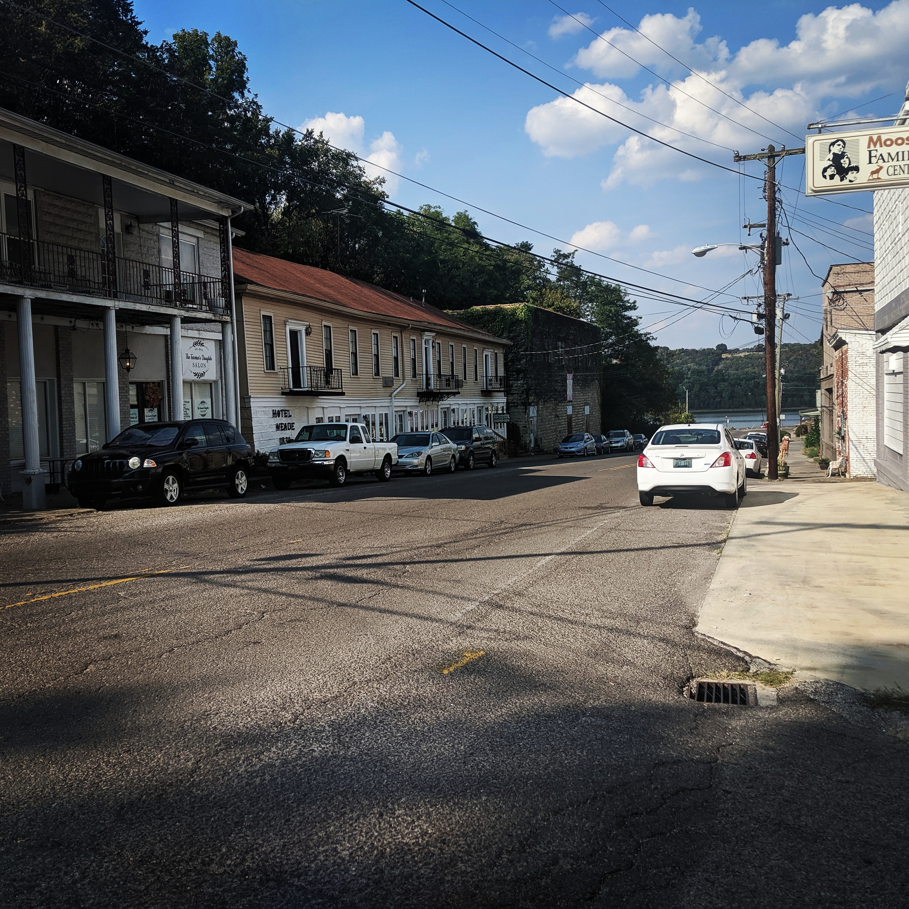
For hikers and bikers looking for further adventure, The Samuel Pearman Memorial Trail is a 1.5 mile trail that connects visitors from The Civil War U.S. Fort Duffield Park and Historic Site to the Historic City of West Point, Kentucky.


Distance Unit:
Distance Unit: