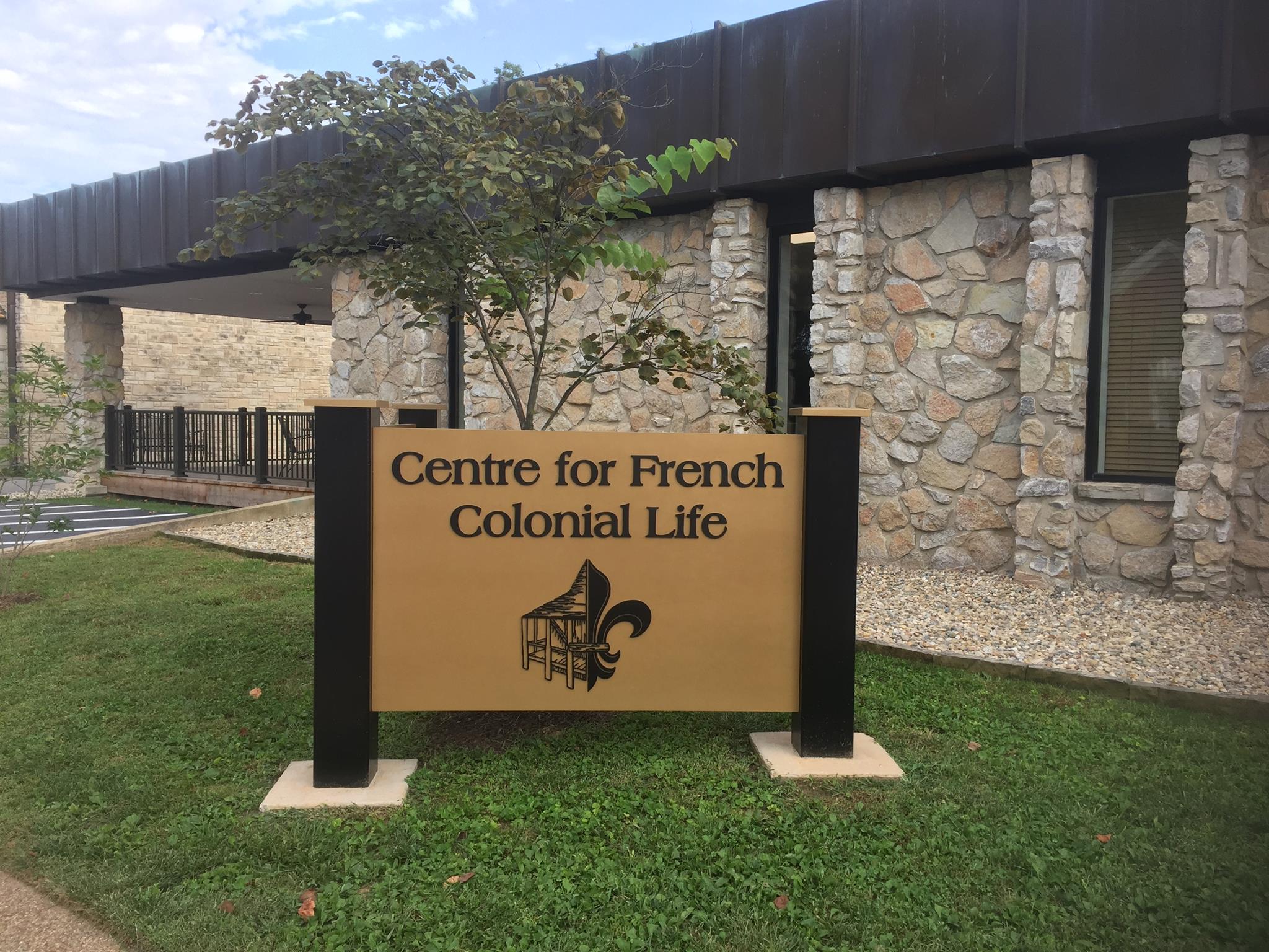
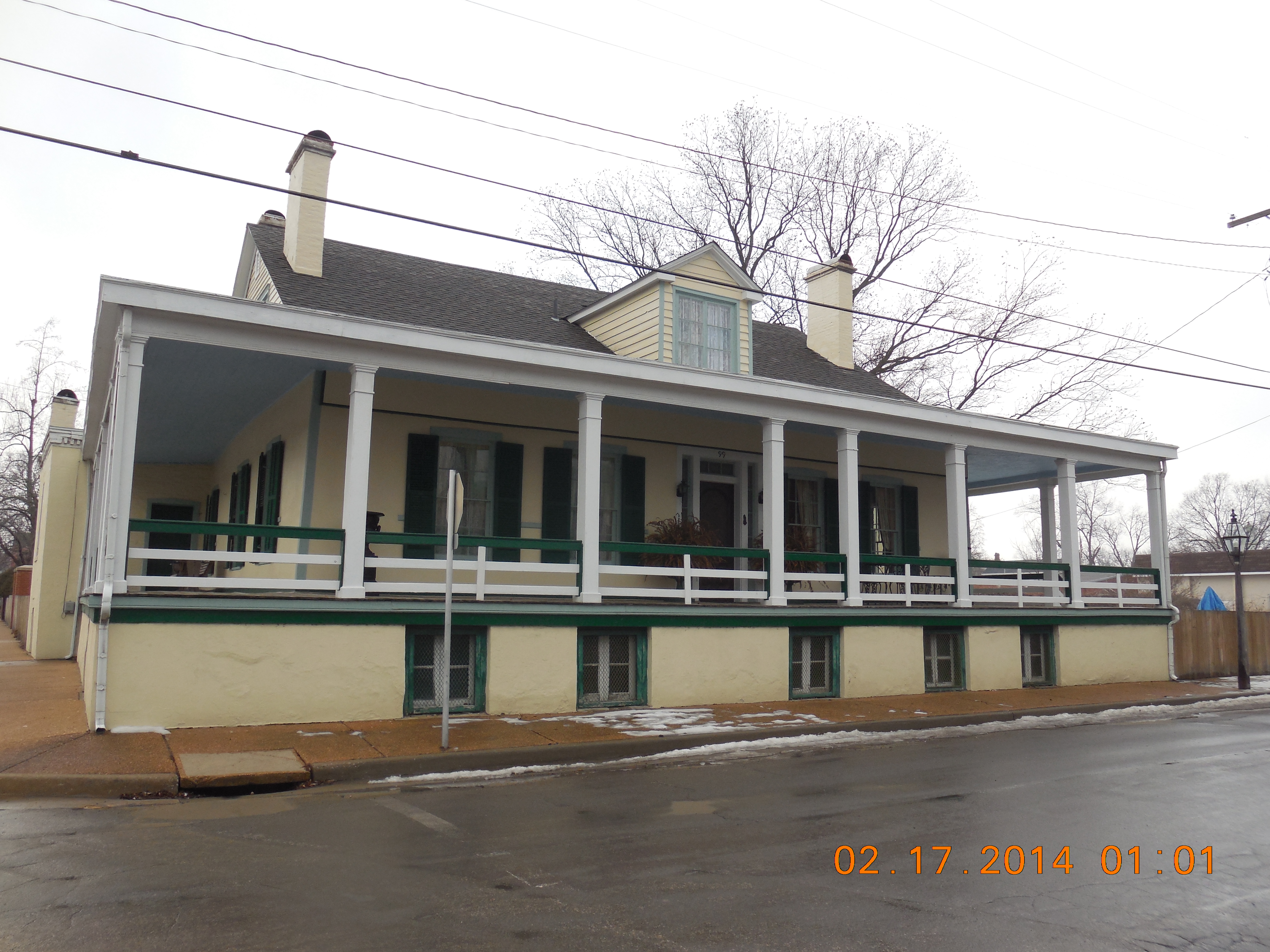
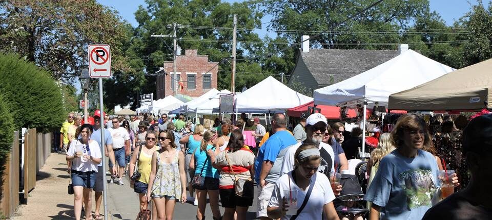
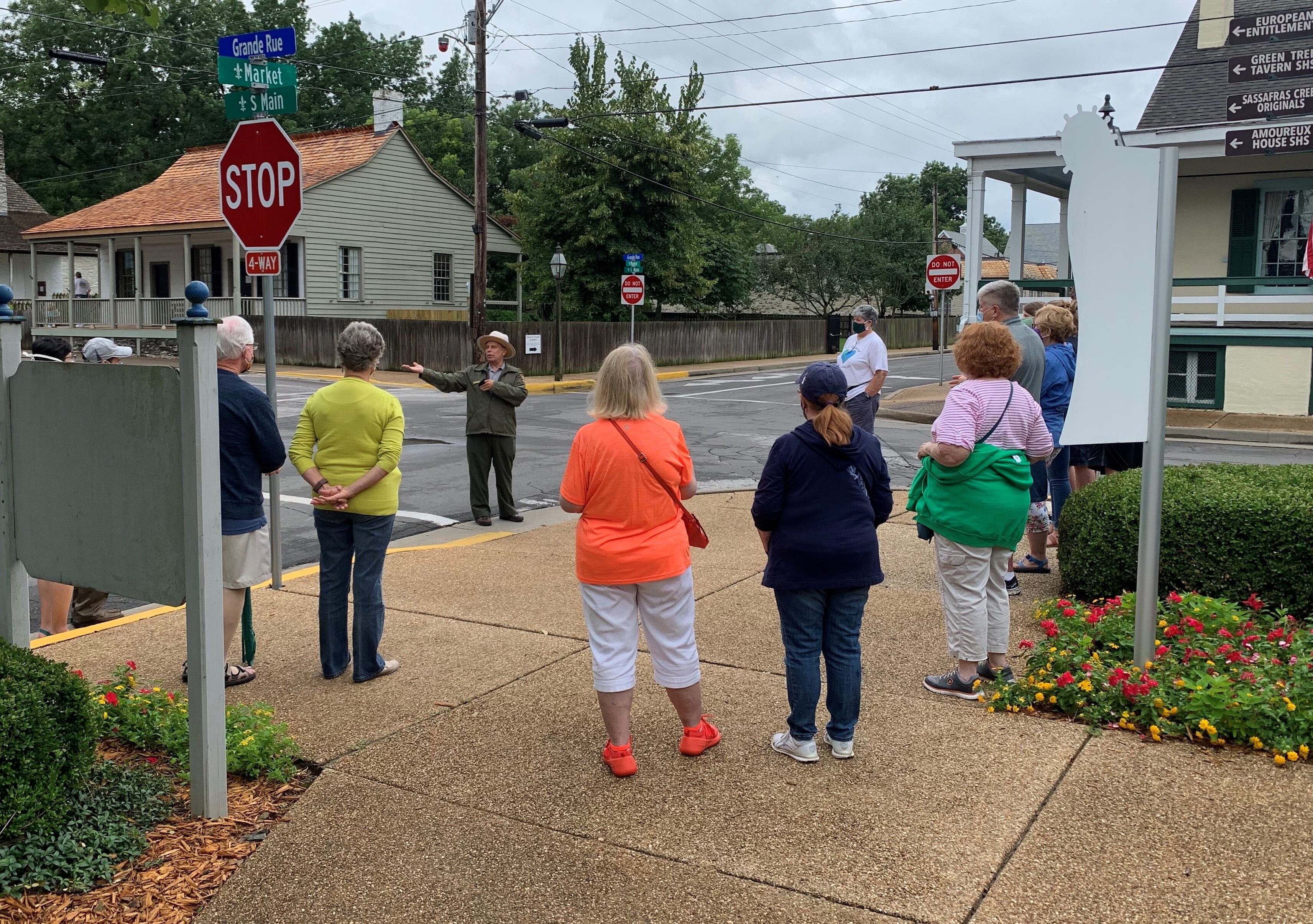
Bauvais-Amoureux House
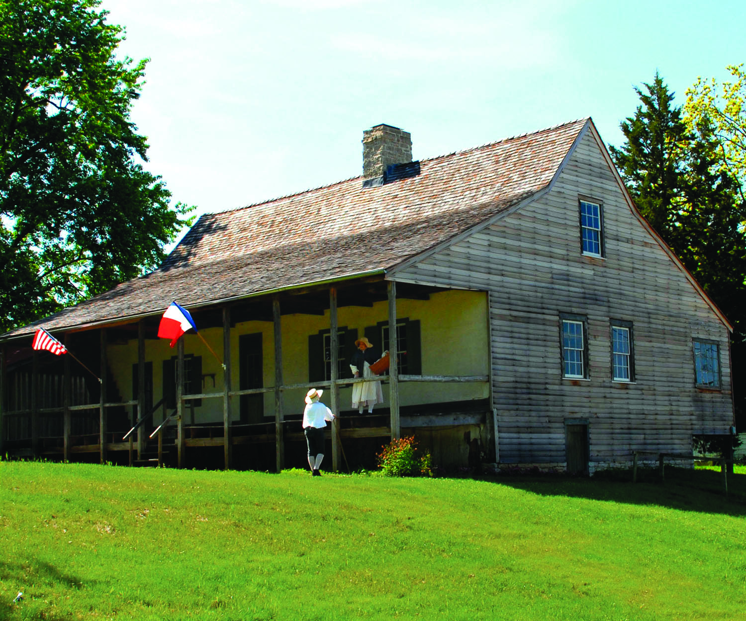
The Bauvais-Amoureux House was built in 1792 by Jean Baptiste St. Gemme Bauvais, Jr. It was built using the method of construction called poteaux-en-terre with bousillage fill between the logs, quite common in 18th century Ste. Genevieve. The vertical log walls, made of cedar, were set directly into the earth, without a foundation. This remarkable architectural remnant of the colonial period is now part of the National Park Service and is open seasonally for touring.
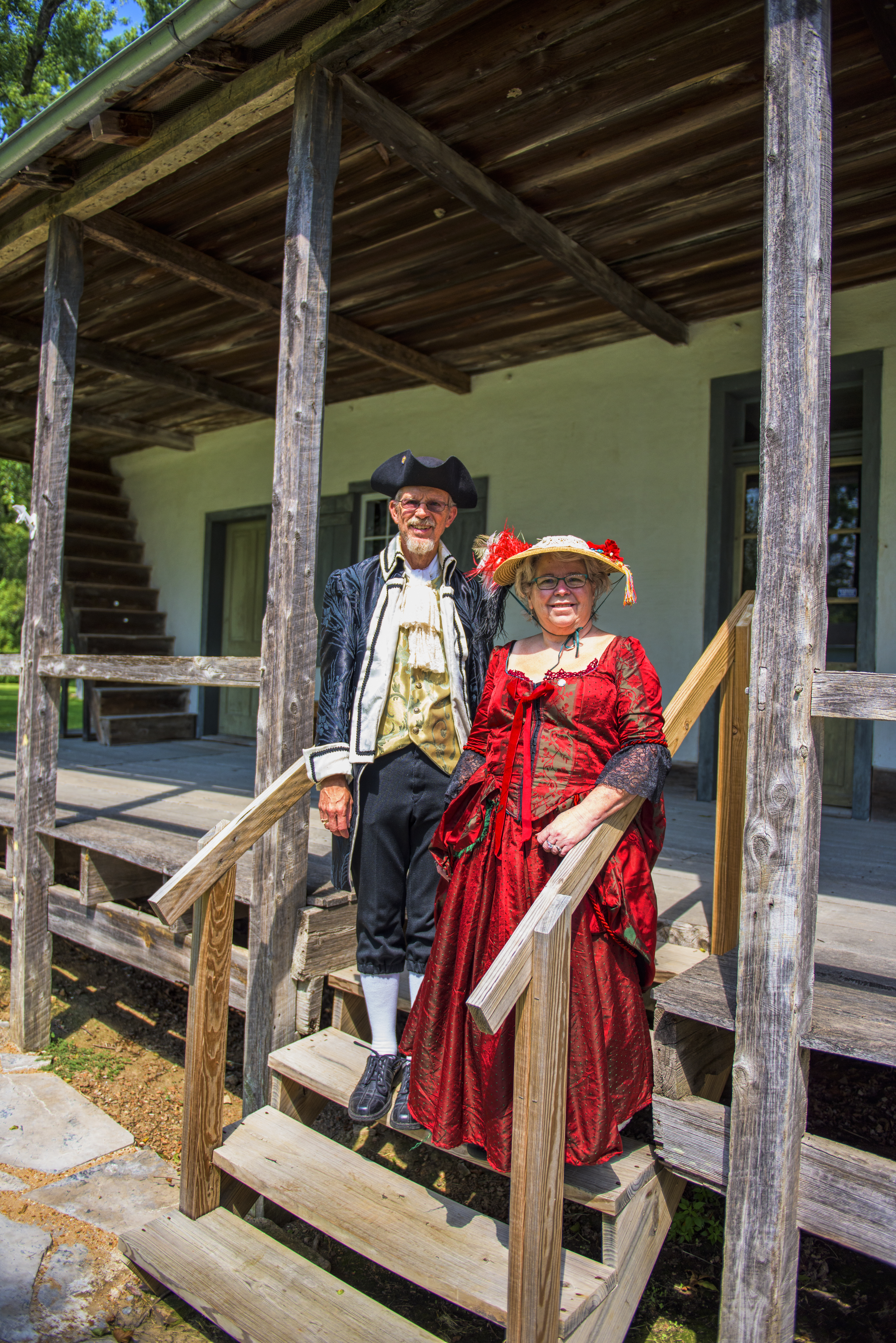
In 1852, the home was sold to Benjamin C. Amoureux for $700 and was then owned by successive generations of his family. In 1830 Benjamin Amoureux had married Pelagie, a slave belonging to Vital St. Gemme Beauvais, brother of the builder. She was later freed, and by 1850 the federal census listed Pelagie as head of the household. For more information on Pelagie go to www.AmHouse.org.
Distance Unit:
Distance Unit:


A boat ramp to the beautiful Missouri River with a peaceful view of the river.


The path taken by Chief John Ross on his way to Cairo. (https://www.hmdb.org/m.asp?m=161480)