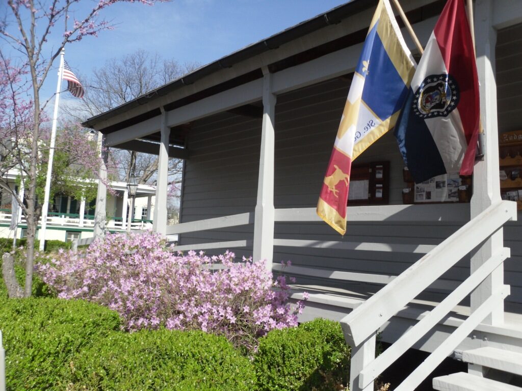
French Heritage Festival
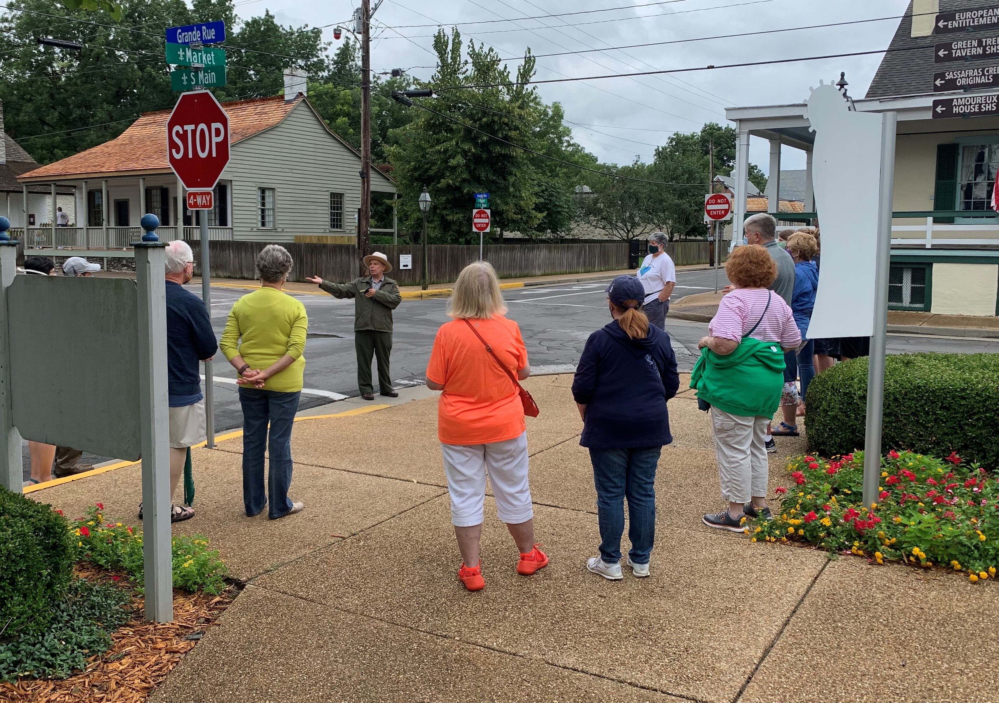
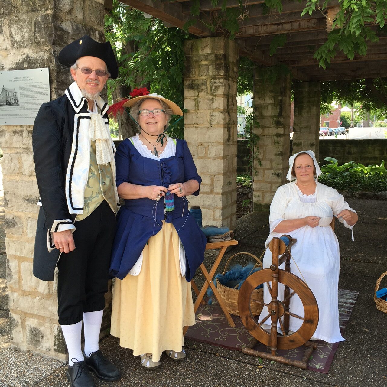
The French Heritage Festival is held each year in Ste. Genevieve’s National Historic District. This festival celebrates 300 years of French culture in North America from Quebec to New Orleans and recognizes Ste. Genevieve’s status as having the greatest concentration of authentic French Colonial architecture that exists in North America. Early birds can enjoy a guided Audubon Bird Walk at 7am.
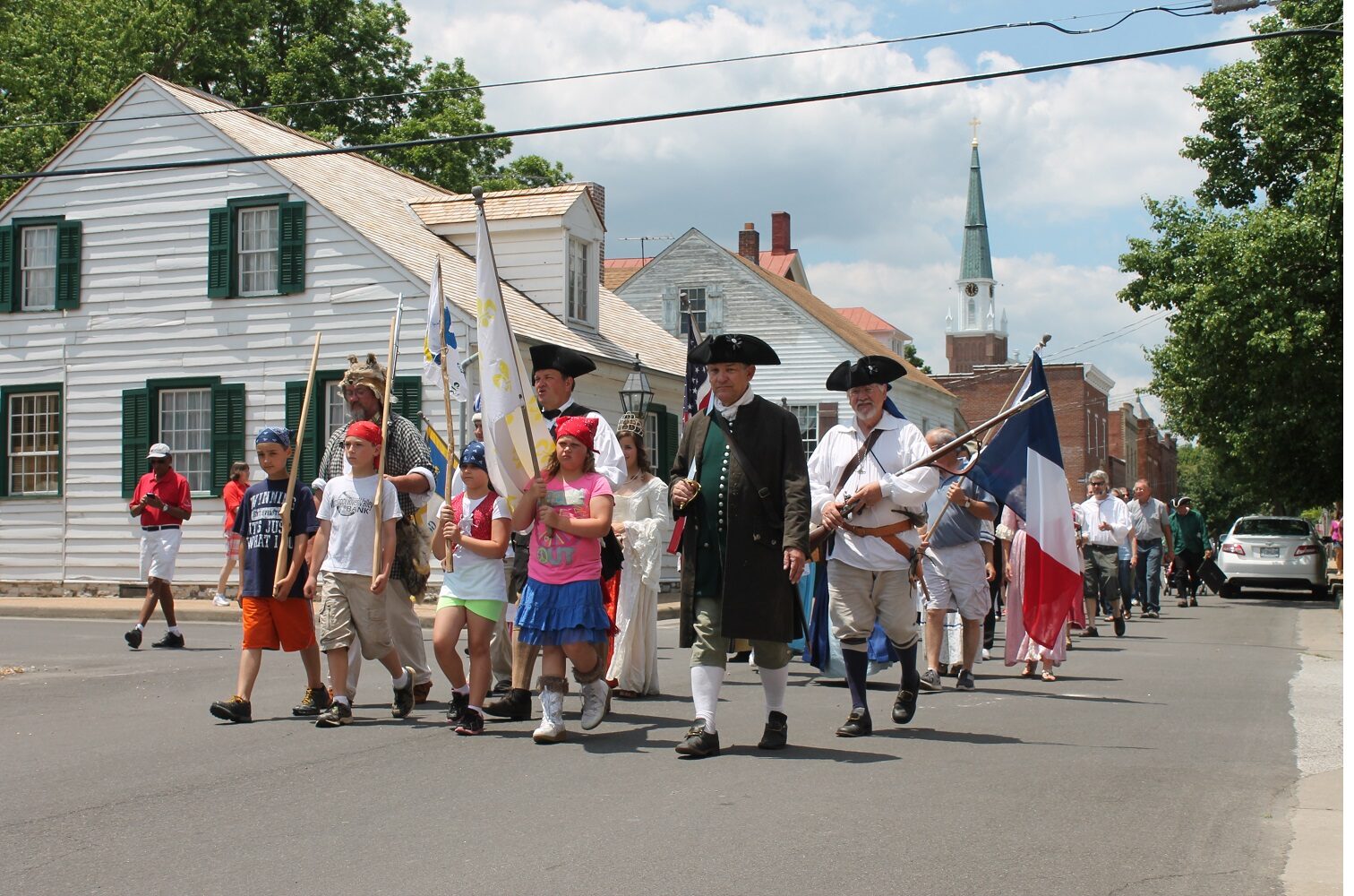
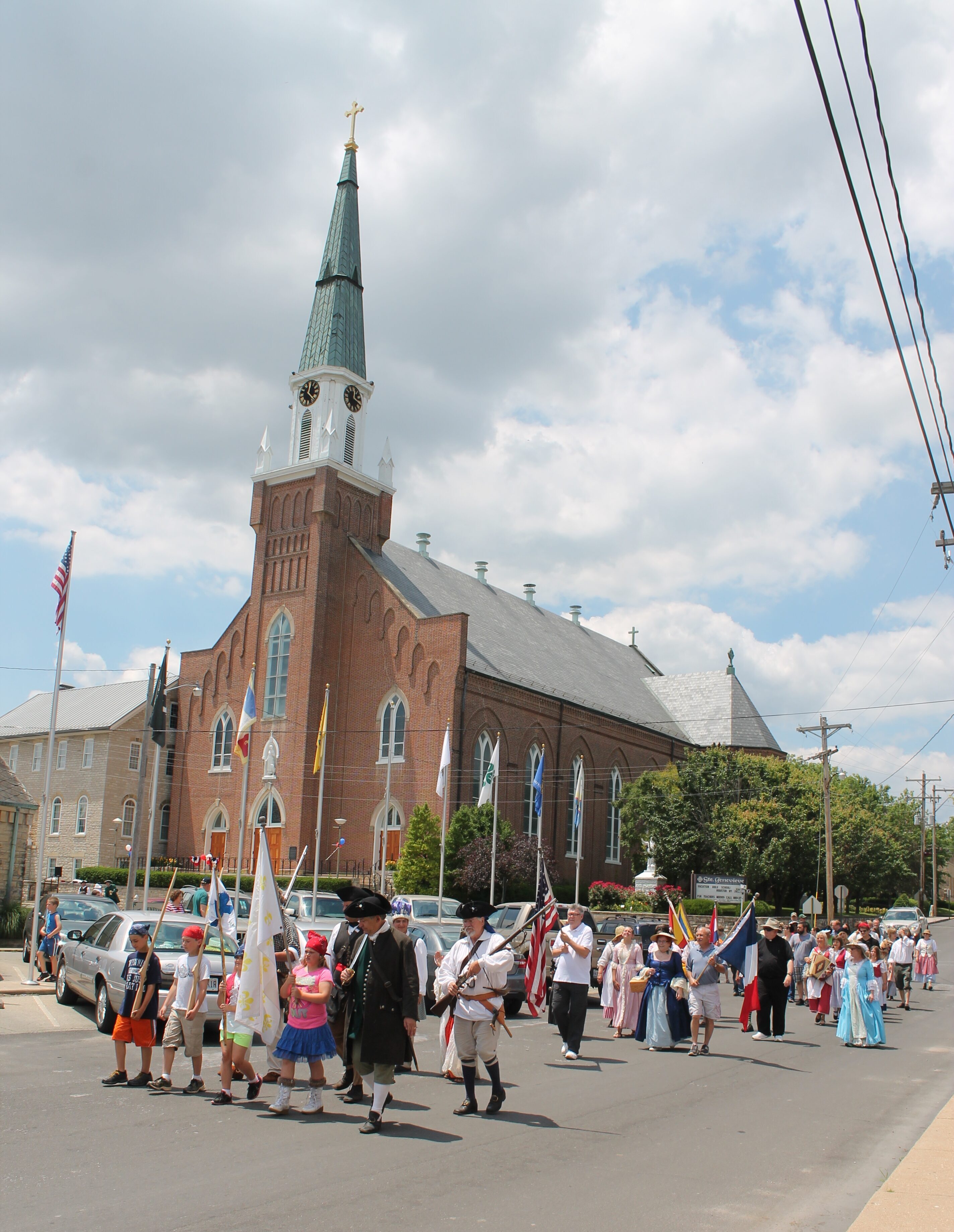
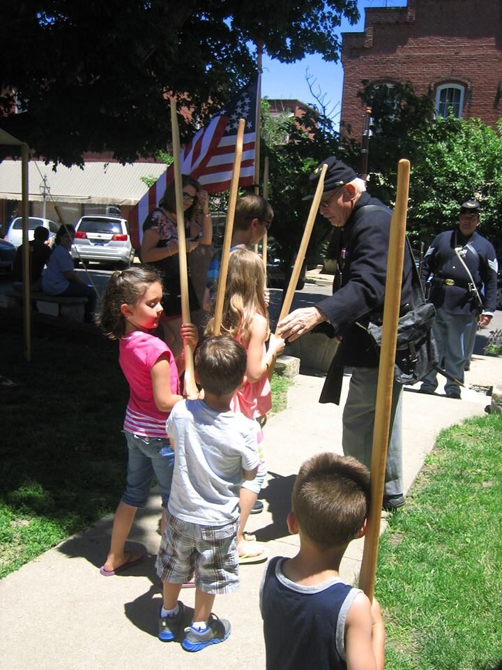
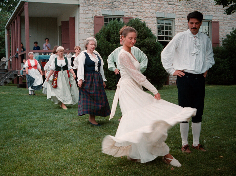
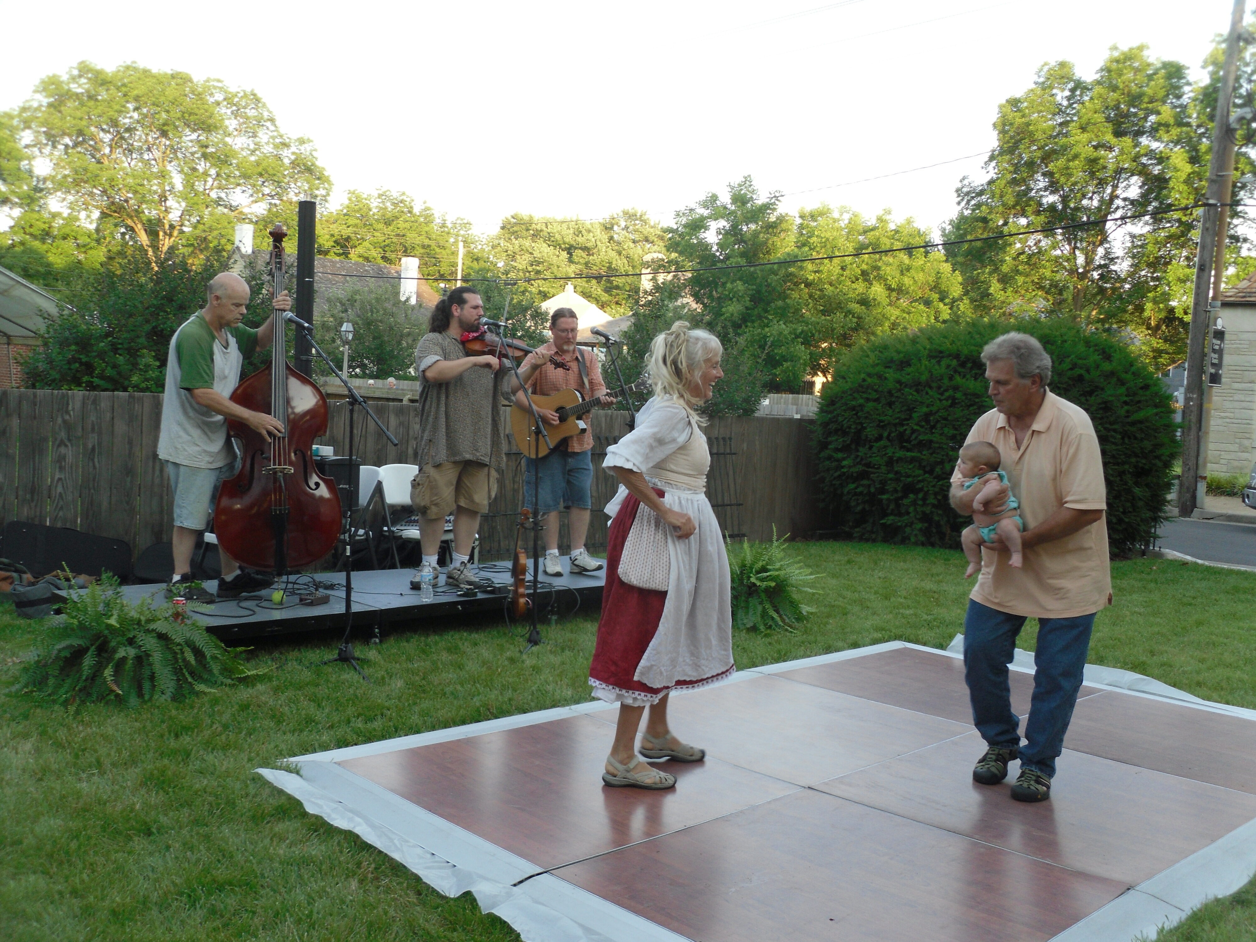
Opening ceremonies are conducted on the steps of the Church of Ste. Genevieve at 11am, where Marie Antionette and King Louis XVI will make an appearance. French carols by the Ste. Genevieve Chanteurs, a salute by the Ste. Genevieve Milice, a traditional benediction, and a Grand Promenade through the historic district will follow. Throughout the day, festival activities center around the downtown including music, dancing, storytelling, skill demonstrations by re-enactors, children’s activities, French Colonial architectural tours, beer, and other refreshments. In the evening, the Felix Valle State Historic Site will host La Veillee, a demonstration of traditional French dancing followed by creole music in the Lion’s Club Park.
The outdoor dance and concert featuring traditional Creole music and fiddle playing by Dennis Stroughmatt El L’Esprit Creole is a highlight of the event. Beer and wine sales will be available through a local non-profit.

Distance Unit:
Distance Unit:

A boat ramp to the beautiful Missouri River with a peaceful view of the river.


The path taken by Chief John Ross on his way to Cairo. (https://www.hmdb.org/m.asp?m=161480)


A breathtaking viewpoint overlooking the Trail of Tears State Park. Car access is available


Here, nine Cherokee Indian groups braved harsh winter conditions while crossing the Mississippi River in 1838-1839, marking a sorrowful chapter in American history. The park also has: shaded picnic sites, hiking and horse trails, opportunities to fish…


Explore the Trail of Tears State Park to delve into a somber chapter in American history. Here, nine Cherokee Indian groups crossed the harsh winter Mississippi River in 1838-1839 during their forced relocation to Oklahoma.…