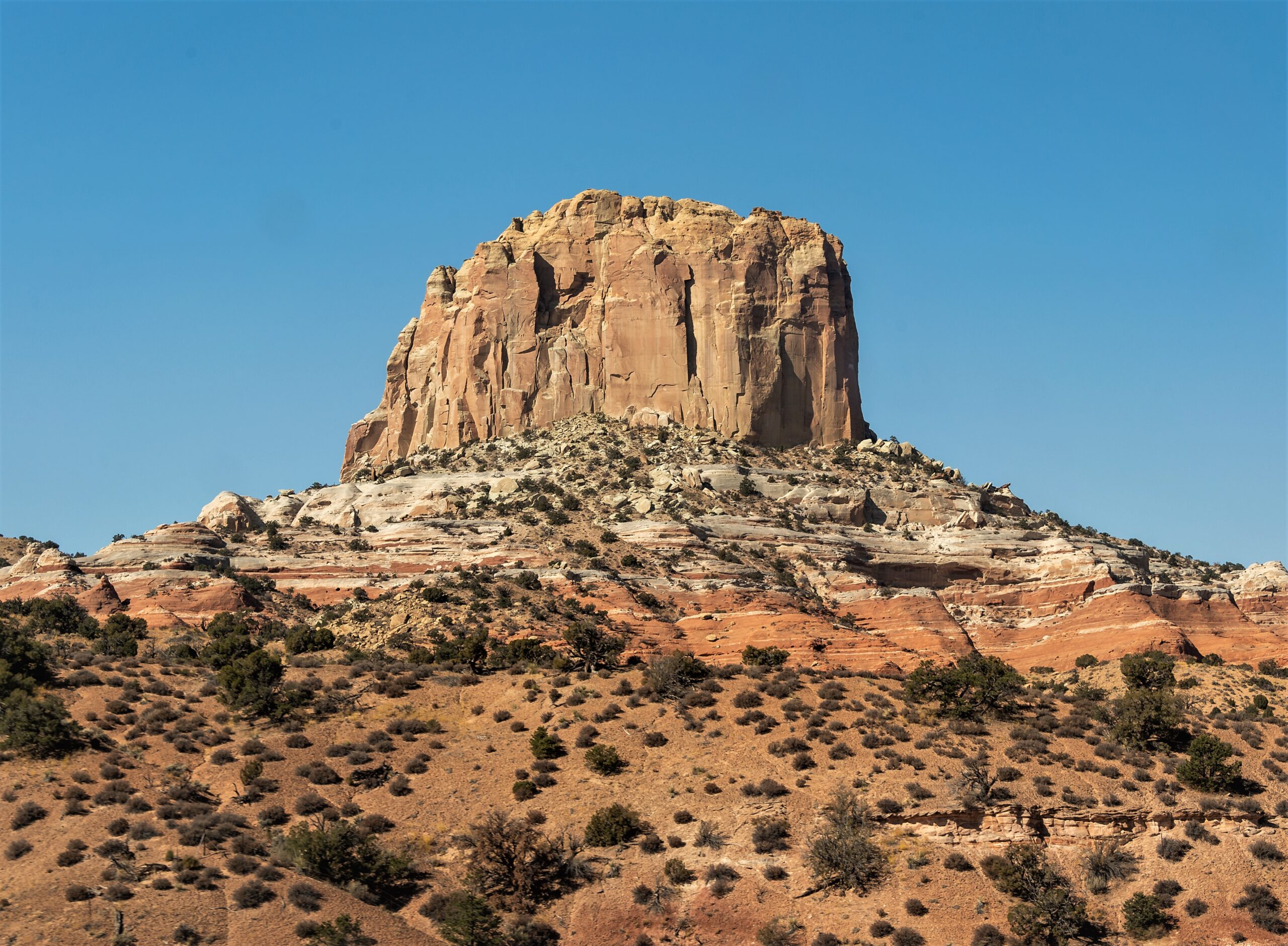
Square Butte
Square Butte is a High Potential Historic Site on the Lewis and Clark National Historic Trail.
Square Butte was first noted by Lewis, who named it “Fort Mountain,” on July 14, 1805. The following day he wrote, “this mountain has a singular appearance it is situated in a level plain, it’s sides stand nearly at right angles with each other and are each about a mile in extent. these are formed of a yellow clay only without the mixture of rock or stone of any size and rise perpendicularly to the hight of 300 feet. the top appears to be a level plain and from the eminence on which I was yesterday I could see that it was covered with a similar cost of grass with the plain on which it stands. the surface appears also to possess a tolerable fertile mole of 2 feet thick, and is to all appearance inaccessible. from it’s figure we gave it the name of fort mountain. those mounds before mentioned near the falls have much the same apeparance but are none of them as large as this one.” Although the expedition, by Lewis’ measurements, never approached closer than within eight miles as they passed upriver, the distinctive landmark dominated the landscape. Lewis recognized it again during the return when he crossed the Continental Divide on July 7, 1806, and wrote, “the fort mountain bears North Eaast, and appears to be distant about 20 Miles.”
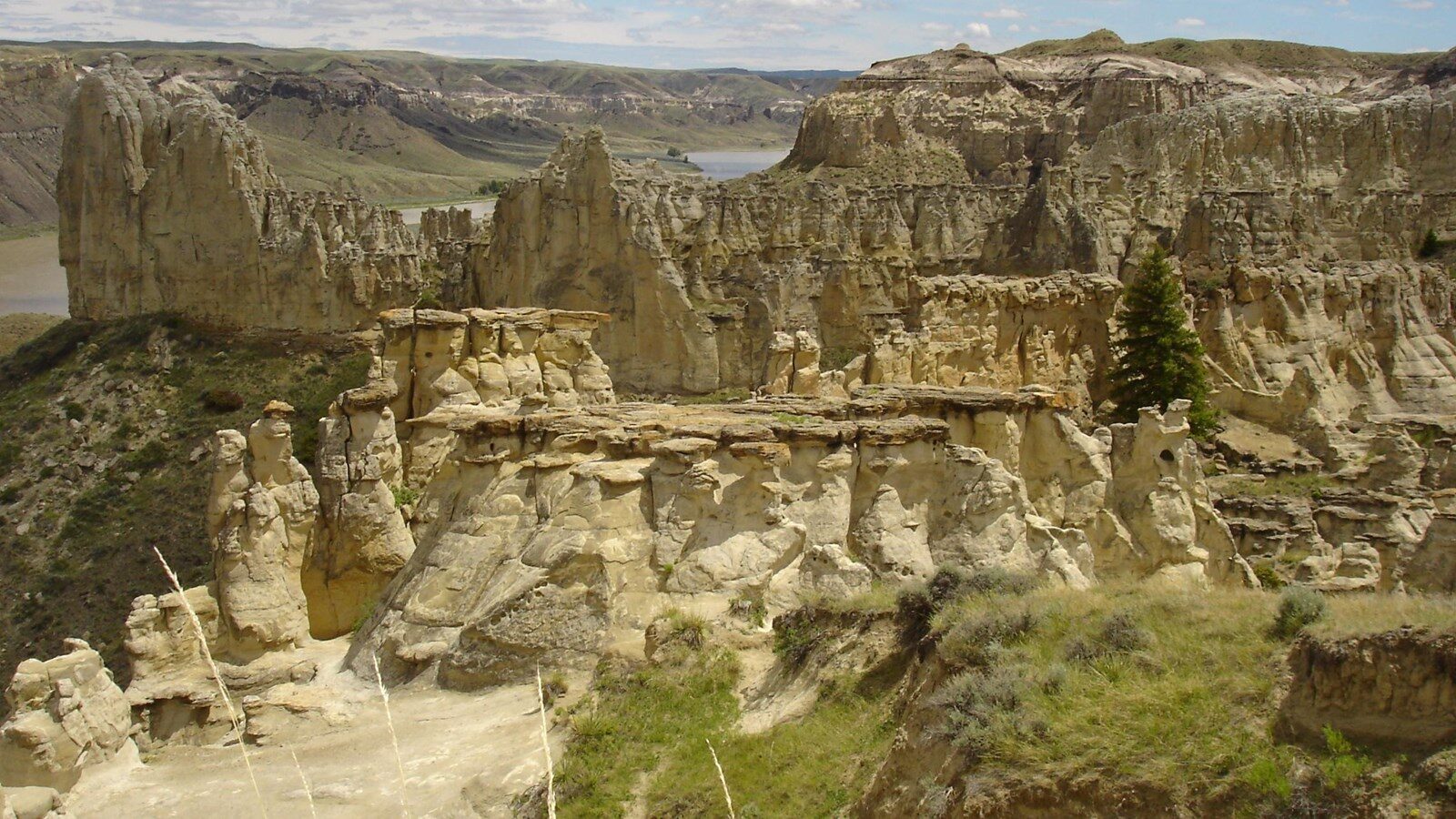
Square Butte is a laccolith, formed millions of years ago by an intrusion of magma up through weaker layers of rock. It is grouped with two other nearby laccolith formations – Shaw Butte and Crown Butte. Although privately owned and publicly inaccessible, Square Butte remains an unmistakable and highly visible landmark with an appearance that has been only minorly altered over time.
Distance Unit:
Distance Unit:


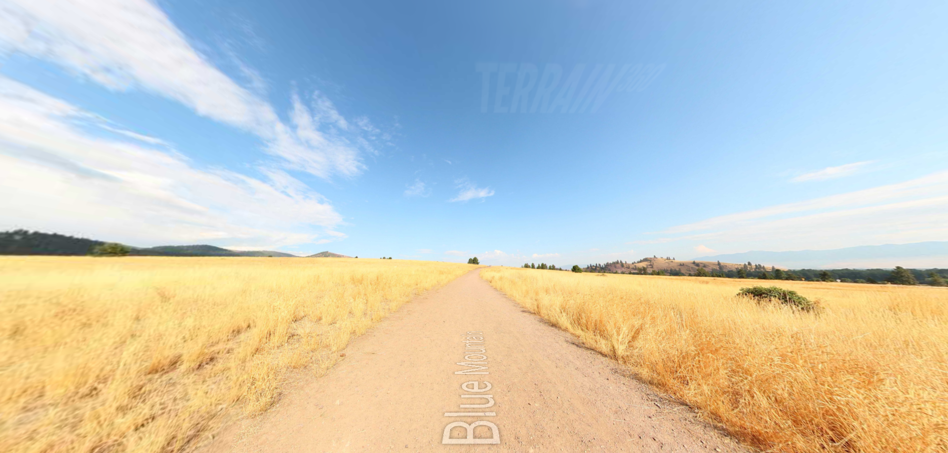


A trail starting at Hauser Dam and overlooking the Missouri River.

The Blackfoot River, sometimes called the Big Blackfoot River to distinguish it from the Little Blackfoot River, is a snow-fed and spring-fed river in western Montana.