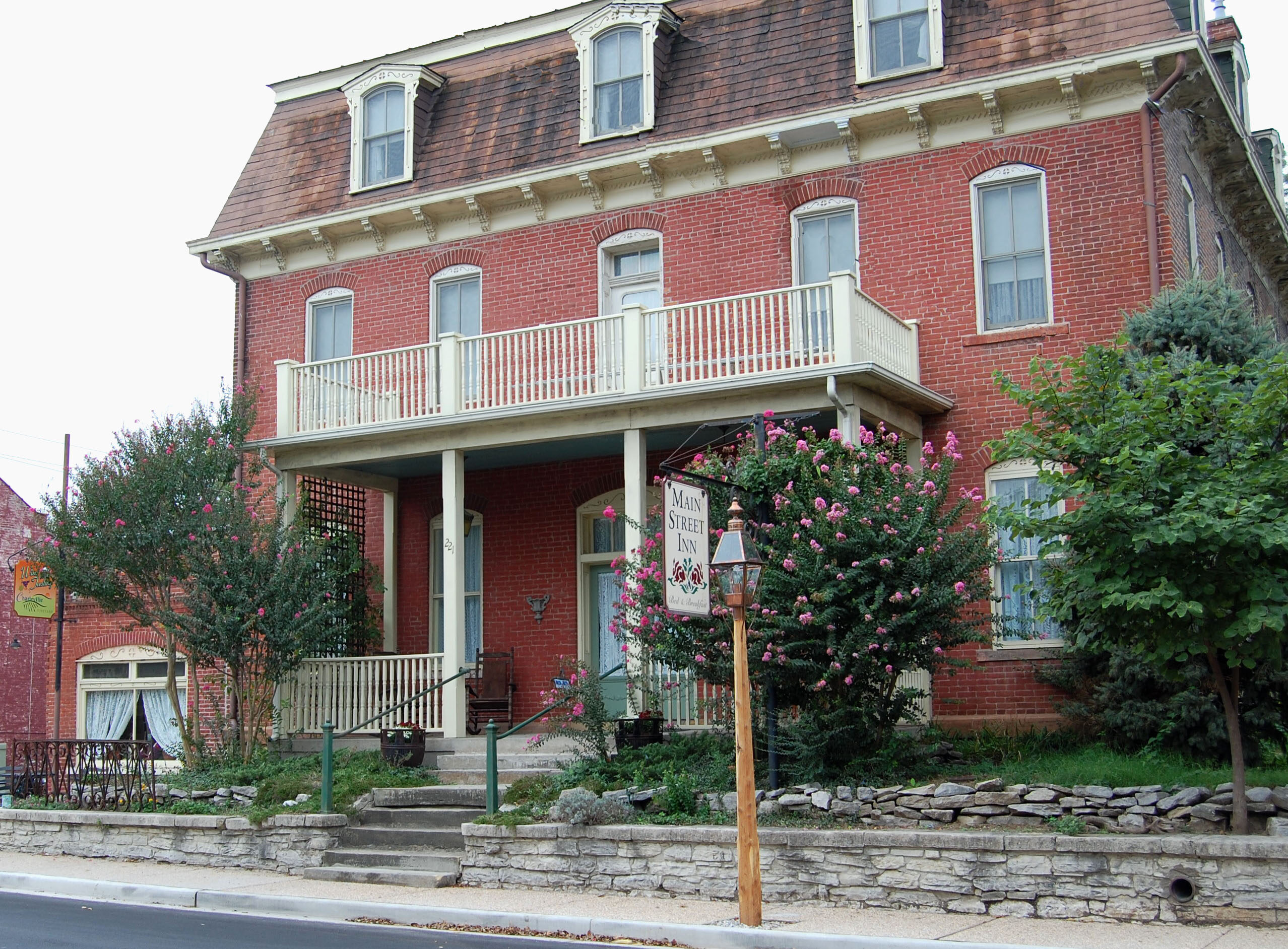
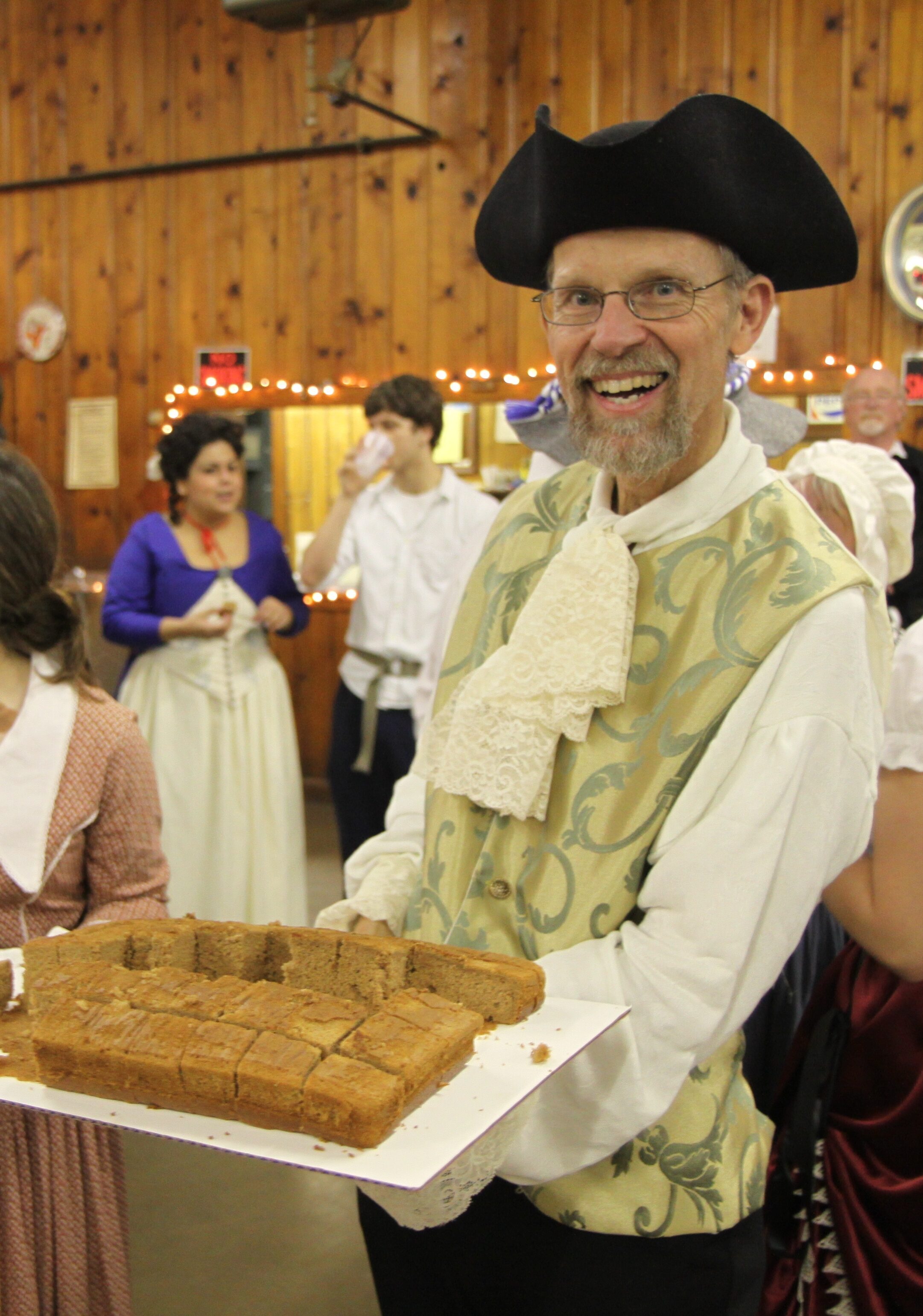
The King’s Ball
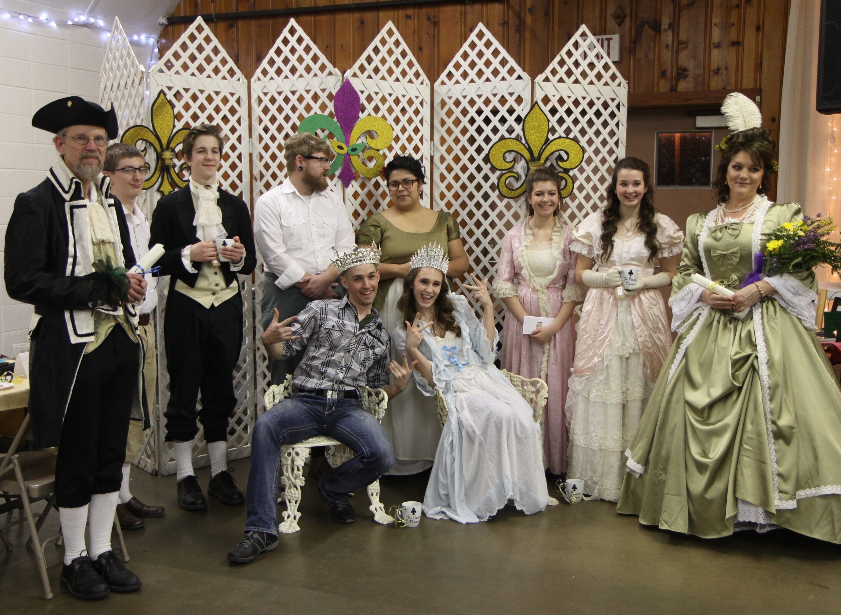
The annual King’s Ball (or Queen’s Ball on a leap year) is a French-inspired celebration of music and dancing that has been held in historic Ste. Genevieve for more than 50 years.
Today, Ste. Genevieve still revels in the historic French tradition of the King’s Ball. On the first Saturday of February, partiers don French colonial costumes and dance at this annual celebration. Little kids, spirited teenagers, and adults of all ages crowd the floor to dance reels, squares, and other old-time dances. Everyone is encouraged, but not required, to dress in French Colonial costume.
The musical ensemble provides instructions in traditional dance. Guests are welcome to bring a basket of snacks for their enjoyment, and there will be a cash bar for refreshments.
During the first intermission the selection of the new King for the year takes place. As in other European Epiphany celebrations, a spiced King Cake is baked, with a bean hidden in it. This important aspect of the King’s Ball is the traditional method of selecting the King for the year.
Proceeds from the King’s Ball benefit the Ste. Genevieve Museum and the Foundation for Restoration of Ste Genevieve.
Distance Unit:
Distance Unit:


The path taken by Chief John Ross on his way to Cairo. (https://www.hmdb.org/m.asp?m=161480)


A boat ramp that allows visitors to access the Trail of Tears