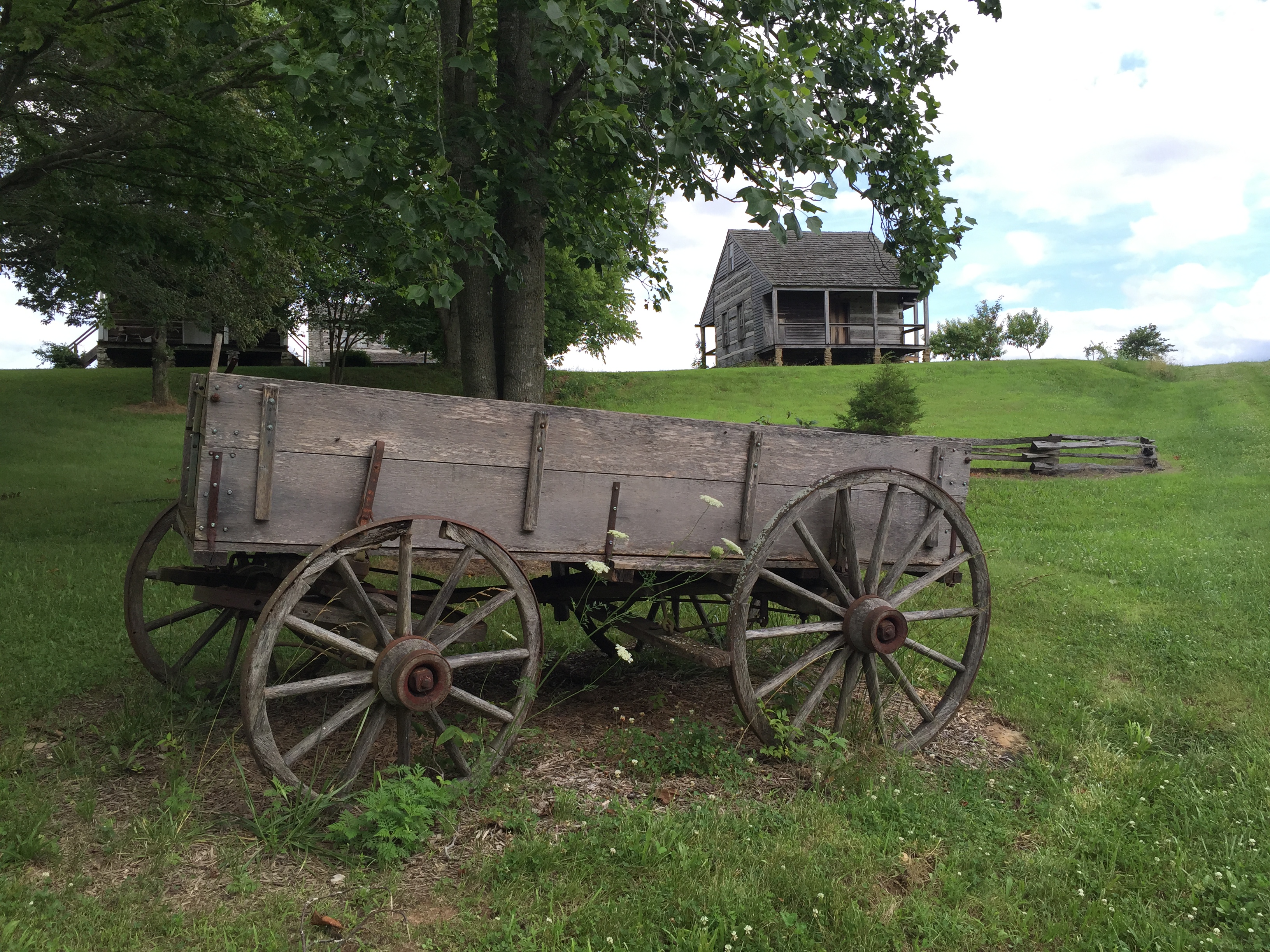
Old Appleton Bridge
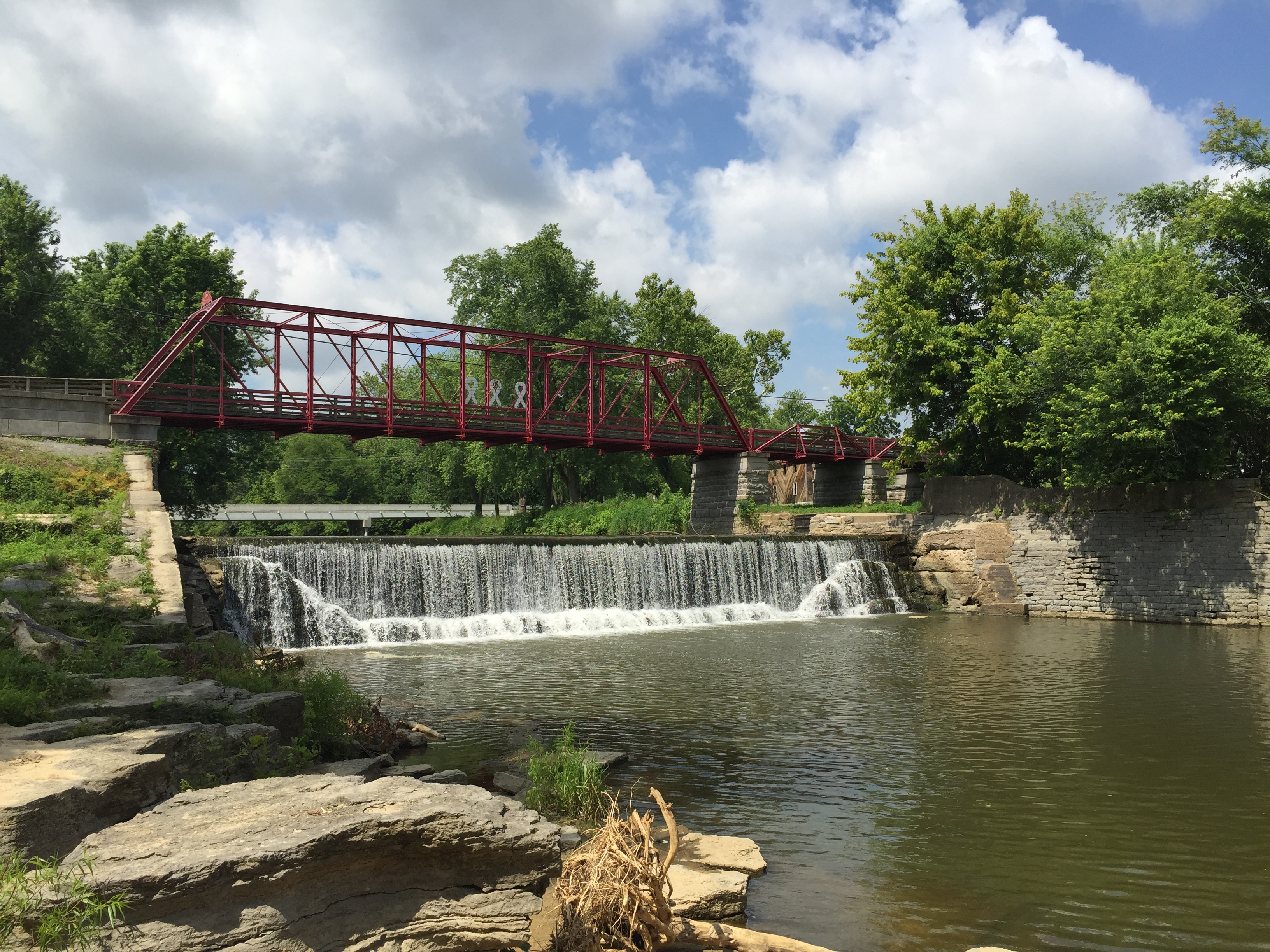
Listed on the National Register of Historic Places the bridge crossing the Apple Creek was built in 1879 connecting Perry and Cape Girardeau Counties. The only iron bridge of its kind in Missouri still in its original location. But before the bridge gave life to the thriving communities on both sides of the creek, in the late 1790’s the Shawnee Native Americans discovered the Apple Creek and made their home here with one of the largest tribal settlements known as the La Grande Village Sauvage in Perry County. It was during this time that Lewis and Clark documented in their 1804 journal about meeting and trading with the Native Americans on the Apple Creek as they ventured up one Mississippi River’s tributaries.
Distance Unit:
Distance Unit:


The path taken by Chief John Ross on his way to Cairo. (https://www.hmdb.org/m.asp?m=161480)


Here, nine Cherokee Indian groups braved harsh winter conditions while crossing the Mississippi River in 1838-1839, marking a sorrowful chapter in American history. The park also has: shaded picnic sites, hiking and horse trails, opportunities to fish…


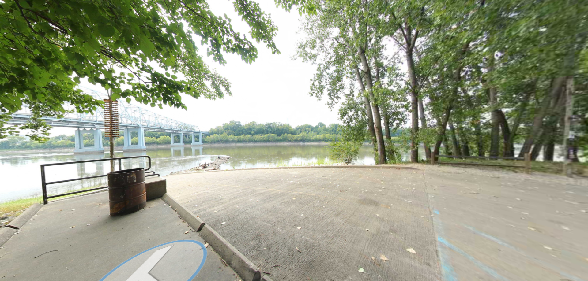
A boat ramp to the beautiful Missouri River with a peaceful view of the river.